Uncovering Hidden Maps: Navigating Elite and Suppressed Geography
The surfaces we inhabit, the landscapes we traverse, are not merely inert expanses of land and water. They are imbued with narratives, shaped by power structures, and often conceal layers of meaning far beyond immediate perception. The concept of “geography” extends beyond the cartographic lines drawn on paper or displayed on screens; it encompasses the social, political, and economic forces that define and demarcate space. This article delves into the intricate realities of elite and suppressed geography, exploring how certain geographical understandings are privileged and promoted, while others are marginalized or actively obscured. It seeks to illuminate the processes by which these hidden maps are constructed and how navigating them requires a critical engagement with the dominant spatial narratives.
Dominant geographical representations, those that saturate our public discourse and educational systems, are rarely neutral. They are, in fact, products of historical power dynamics and often serve to reinforce existing hierarchies. Understanding the “cartography of power” involves recognizing that the decisions about what gets mapped, how it is mapped, and for whom it is mapped are inherently political.
Whose Knowledge is Valid? The Erasure of Marginalized Geographies
The history of cartography is replete with examples of dominant groups projecting their viewpoints onto the world. Indigenous knowledge systems, for instance, often possess intricate and deeply nuanced understandings of their territories, developed over generations of intimate interaction and stewardship. These understandings, however, are frequently dismissed or deemed scientifically inferior by Western cartographic traditions. The emphasis on quantifiable, measurable data – coordinates, altitudes, boundaries – can inadvertently strip away the qualitative, relational, and spiritual dimensions that are central to many localized geographical interpretations. This erasure is not accidental; it is a consequence of colonial encounters and the imposition of alien systems of knowledge and land ownership. When indigenous place names are replaced by colonial ones, when traditional land management practices are deemed “undeveloped,” this reflects a deliberate or unconscious privileging of one form of geographical understanding over another.
The Influence of Geopolitics on Mapping Conventions
The geopolitical landscape profoundly influences how maps are produced and consumed. During periods of intense international competition or conflict, cartographic representations can become tools of propaganda or strategic assertion. Borders are drawn and redrawn not just on the ground but also on maps, reflecting the shifting balance of power. Consider the historical disputes over disputed territories, where competing maps present conflicting claims, each seeking to legitimize its own historical narrative and territorial aspirations. Furthermore, the development of new mapping technologies, such as satellite imagery and geographic information systems (GIS), while offering unprecedented detail, can also be wielded by powerful states and corporations to assert control and surveillance over vast swathes of territory, often without the consent or knowledge of local populations.
The Construction of “Global” vs. “Local” Narratives
There is a constant tension between the globalizing forces that homogenize our spatial experience and the persistent realities of local geographies. Elite geographies often present a homogenized, idealized vision of the world, focusing on major cities, global trade routes, and readily accessible tourist destinations. This creates a perception of interconnectedness, but it can also obscure the vast discrepancies in access, resources, and lived experiences that exist between different regions and communities. The “global city” is a concept that reflects this elite perspective, focusing on economic powerhouses and neglecting the peripheral areas, informal settlements, and rural hinterlands that are also integral to the functioning of any region.
In exploring the concept of hidden maps of the elite and suppressed geography, it is intriguing to consider how financial stability plays a crucial role in navigating these unseen landscapes. A related article that delves into the financial strategies one can adopt during uncertain times is available at Surviving a Dollar Crash: Financial Tips for Uncertain Times. This resource provides valuable insights that can help individuals prepare for economic shifts, which may also influence their understanding of the hidden structures that govern our world.
Elite Geographies: The Architecture of Advantage
Elite geographies are not simply about mapping physical space; they are about the strategic shaping and maintenance of spaces that confer advantage, status, and control to privileged groups. These geographies are woven into the fabric of urban planning, real estate development, and the creation of exclusive enclaves.
Gated Communities and the Privatization of Public Space
The proliferation of gated communities represents a stark manifestation of elite geography. These fortified residential areas create exclusionary bubbles, physically separating their residents from the surrounding urban fabric and its perceived social problems. The privatization of public space, the erection of walls and fences, signals a retreat from collective responsibility and a prioritization of individual security and exclusivity. This spatial segregation not only reflects but also perpetuates social stratification, limiting interaction and empathy between different socioeconomic groups. The infrastructure within these communities – private roads, security patrols, exclusive amenities – is designed to cater to a specific demographic, further reinforcing a sense of separation and privilege.
The Strategic Location of Infrastructure and Amenities
The placement of essential infrastructure and desirable amenities – good schools, advanced healthcare facilities, accessible public transportation, green spaces – is rarely equitable. Elite geographies are often characterized by a disproportionate concentration of these resources, while marginalized communities grapple with underfunded services and limited access. This selective investment in infrastructure serves to further entrench existing inequalities, creating a vicious cycle where proximity to resources dictates opportunity. The planning process itself can be influenced by those with the most influence, ensuring that developments benefit existing power structures rather than address the needs of the wider populace.
Corporate Headquarters and Financial Centers: Pillars of Global Power
The physical locations of global corporations and financial centers are not accidental. They are carefully chosen to maximize influence, facilitate access to capital, and project an image of power and stability. These urban nodes, often characterized by skyscrapers and modernist architecture, become the physical embodiments of global economic forces. Their spatial concentration creates distinct geographies of wealth and opportunity, attracting talent and investment while often displacing less affluent residents and businesses. The interconnectedness of these centers creates a global network that reinforces the dominance of certain economic paradigms.
Suppressed Geographies: The Unseen and the Unheard

In stark contrast to elite geographies, suppressed geographies are those spaces, experiences, and knowledge systems that are systematically ignored, marginalized, or actively hidden from dominant narratives. These are the geographies of the dispossessed, the marginalized, and those whose existences challenge the established order.
The Geography of Informality: Slums, Shantytowns, and Informal Settlements
Vast numbers of the global population reside in informal settlements, often characterized by precarious housing, lack of basic services, and insecure land tenure. These “slums” or “shantytowns” are frequently erased from official maps and urban planning documents, existing in a state of geographical limbo. Their inhabitants are often rendered invisible, their struggles and contributions to the urban landscape overlooked. The framing of these areas as “blighted” or “undeveloped” masks the ingenuity, resilience, and vibrant social networks that exist within them. Suppressed geography here lies in the systematic denial of recognition and resources to these vital, albeit often underserved, parts of human settlements.
The Geography of Resistance: Protest Zones and Contested Territories
The spaces where social movements and forms of resistance emerge are also crucial elements of suppressed geography. Protest zones, encampments, and areas of civil disobedience often become sites where alternative spatial orders are temporarily asserted, challenging the legitimacy of existing power structures. These are geographies of contestation, where the dominant understanding of space is actively challenged and renegotiated. The silencing or sanitization of these spaces in mainstream media and official narratives serves to reinforce the perceived permanence of the status quo. This suppression can take the form of official disclaimers, selective reporting, or even direct physical removal of encampments and public demonstrations.
The Hidden Geographies of Exploitation: Resource Extraction Sites and Exclusion Zones
The geographical locations of resource extraction – mines, oil fields, logging operations – are often sites of intense exploitation, environmental degradation, and social disruption. These areas, frequently remote and poorly documented, represent a geography of extraction that benefits distant elites while imposing heavy costs on local communities and ecosystems. Exclusion zones, too, whether created for military purposes, environmental conservation with restricted access, or speculative development, can become geographies of suppression, limiting access and knowledge for those not designated to benefit. Their existence and impact are often downplayed or obscured in broader geographical representations.
Navigating the Hidden Layers: Critical Tools and Methodologies
Uncovering and understanding these hidden mappings requires a critical and multifaceted approach. It involves questioning dominant representations and actively seeking out alternative perspectives and methodologies.
Deconstructing Maps: Reading Between the Lines and the Blank Spaces
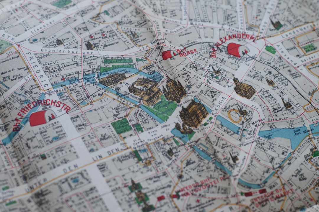
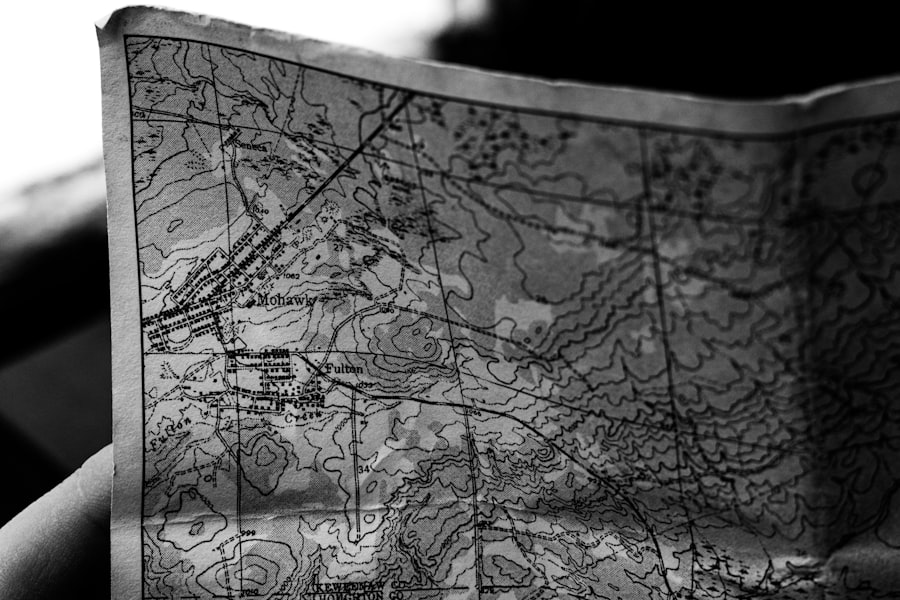
The act of “reading a map” goes far beyond tracing lines and identifying points. It necessitates a critical deconstruction of the cartographic choices made. What is included? What is omitted? What symbols are used? Whose perspective is privileged? Blank spaces on a map can be as telling as the markings, indicating areas that are deemed unimportant, inaccessible, or intentionally obscured. Examining historical maps alongside contemporary ones can reveal shifts in power and representation. Likewise, comparing maps produced by different entities – government agencies, private companies, activist groups – can highlight the political nature of mapping itself.
Ethnographic Approaches: Living the Geography of the Marginalized
Ethnographic field research offers a powerful means of uncovering suppressed geographies. By immersing oneself in the lived experiences of individuals and communities, researchers can gain intimate knowledge of their spatial realities, their challenges, and their forms of resilience. This involves going beyond statistical data and official reports to understand the human dimensions of geography – the daily routines, the perceptions of space, the informal economies, and the social networks that constitute the fabric of marginalized areas. This bottom-up approach can reveal the limitations of top-down cartographic representations.
Digital Mapping and Participatory GIS: Empowering Local Voices
While digital mapping technologies can be used to reinforce elite geographies, they also offer powerful tools for uncovering and amplifying suppressed narratives. Participatory GIS (PGIS) empowers local communities to create their own maps, incorporating their local knowledge and priorities. This allows marginalized groups to document their own geographies, to highlight their needs, and to advocate for their rights. These community-generated maps can serve as vital counter-narratives to dominant representations, challenging official plans and policies. The accessibility of mapping software and satellite imagery also allows for greater scrutiny of land use and development projects.
In exploring the concept of hidden maps of the elite and suppressed geography, one can gain valuable insights from the article on ancient cartography and modern science, which delves into the intriguing Piri Reis map. This historical document not only showcases the advanced navigational skills of its time but also raises questions about the knowledge that may have been intentionally obscured. To learn more about this fascinating intersection of history and geography, you can read the full article here.
The Politics of Space: Reclaiming and Redefining
| Map Name | Location | Status |
|---|---|---|
| Atlantis | Atlantic Ocean | Suppressed |
| Area 51 | Nevada, USA | Hidden |
| Shambhala | Himalayas | Elite |
| Agartha | Hollow Earth | Suppressed |
The ultimate goal of uncovering hidden maps is not merely an academic exercise. It is a crucial step in understanding and challenging the power structures that shape our world. By recognizing the existence and influence of elite and suppressed geographies, we can begin to advocate for more equitable and just spatial arrangements.
Towards a More Inclusive Cartography: Challenging Dominant Narratives
The development of a more inclusive cartography, one that acknowledges and validates a diversity of geographical understandings and experiences, is an ongoing process. This involves actively working to incorporate the knowledge systems of marginalized communities, challenging the biases inherent in existing mapping conventions, and promoting spatial justice. It means moving beyond a simplistic view of geography as mere physical space to embracing it as a complex web of social, political, and economic relationships.
The Role of Geographers in Social Change
Geographers have a critical role to play in illuminating these hidden layers of geography and advocating for social change. By employing critical methodologies, engaging with communities, and communicating their findings effectively, they can help to expose injustices and inform policy decisions. This involves not just analyzing space but also actively participating in the redefinition and reclaiming of space for those who have been historically excluded. The ethical responsibilities of geographers extend beyond objective observation to active engagement in promoting spatial equity.
Reimagining Our Urban and Rural Landscapes
The insights gained from uncovering hidden geographies can inform the reimagining of our urban and rural landscapes. This could involve policies that promote mixed-income housing, invest in underserved communities, protect informal settlements, and recognize the value of indigenous land management practices. It means moving away from purely economically driven development towards approaches that prioritize social well-being, environmental sustainability, and spatial justice. The focus shifts from merely mapping what exists to actively shaping what could and should exist for the benefit of all.
FAQs
What are hidden maps of the elite?
Hidden maps of the elite refer to maps that are not widely accessible to the public and are often used by powerful individuals or organizations for strategic purposes. These maps may include information about private property, secret facilities, or exclusive territories.
What is suppressed geography?
Suppressed geography refers to the deliberate withholding or manipulation of geographical information by governments, corporations, or other entities. This can include the suppression of maps, data, or knowledge about certain areas or features for political, economic, or security reasons.
Why are these maps and geographical information suppressed?
Maps and geographical information may be suppressed for a variety of reasons, including national security concerns, protection of sensitive natural resources, or to maintain the exclusivity of certain areas for the elite. Additionally, some maps may be suppressed to control access to valuable land or resources.
How are hidden maps and suppressed geography discovered?
Hidden maps and suppressed geography are often discovered through investigative journalism, whistleblowers, or declassified documents. In some cases, advancements in technology and satellite imagery have also allowed for the uncovering of previously hidden or suppressed geographical information.
What are the implications of hidden maps and suppressed geography?
The existence of hidden maps and suppressed geography can have significant implications for public access to information, land rights, and environmental conservation. It can also contribute to the perpetuation of inequality and the concentration of power and resources in the hands of a select few.