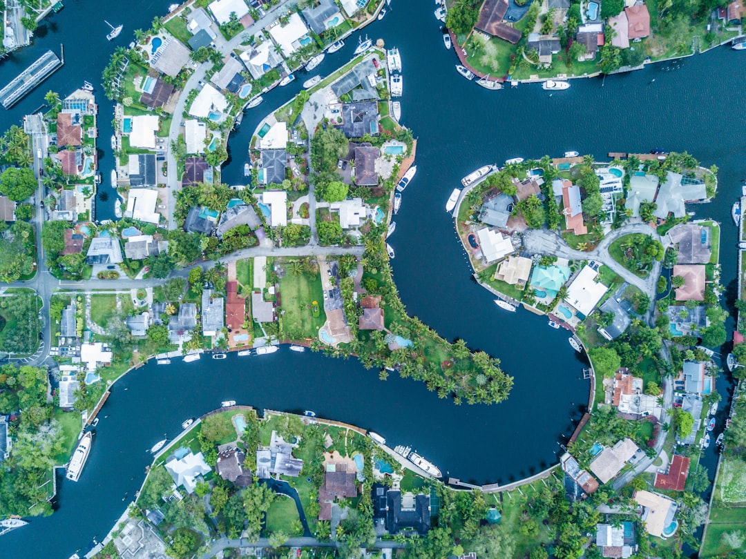
Uncovering Ancient Rivers: Satellite Images Reveal Surprising Insights
The relentless march of time erodes and buries the history of our planet, often leaving behind only faint whispers of landscapes long past. Yet, with the advent of sophisticated satellite technology, scientists are now able to peer beneath the sands, the dust, and the dense canopies to reveal secrets buried for millennia. What were once thought to be barren expanses are now being re-imagined as cradlelands of life, traversed by mighty rivers that shaped civilizations and ecosystems. This new era of remote sensing is not only rewriting our understanding of Earth’s geological past but is also casting a new light on the potential for life beyond our home planet.
Echoes in the Sand: Revealing Subterranean Waterways
For millennia, vast deserts have seemed to represent the antithesis of flowing water, their arid expanses swallowing any hint of moisture. However, radar satellites, capable of penetrating the Earth’s surface, have begun to tell a different story. These instruments send out radio waves that bounce off subsurface layers, providing a detailed map of what lies beneath. This technological leap has allowed researchers to identify extensive, hidden river networks that belie the current hyper-arid conditions.
The Tamanrasett River: A Ghost of the Sahara
One of the most astonishing discoveries has emerged from the Sahara Desert, specifically in the regions of Mauritania and Algeria. Here, radar satellite imagery has unveiled a colossal, deeply buried river system stretching for more than 500 kilometers. This ancient waterway, tentatively named the “Tamanrasett River,” appears to be intricately linked with an underwater canyon. Its alignment suggests a powerful, perennial flow that once coursed through a landscape vastly different from the present-day Sahara. It is believed that this river supported a thriving, lush ecosystem, teeming with diverse wildlife and vegetation, before the region succumbed to extreme aridity. The sheer scale of this buried network underscores the dramatic climatic shifts that have occurred over geological timescales and hints at the resilience of water systems, even when hidden from view for thousands of years. The implications are profound, suggesting that many other such ancient waterways might lie undiscovered beneath other deserts, waiting for their secrets to be unveiled.
The Kuwait River: A Lost Artery of Civilization
Similarly, on the Arabian Peninsula, remote sensing techniques have identified another significant dry channel: the “Kuwait River.” This vast, ancient riverbed stretches an impressive 850 kilometers, originating in the rugged Hijaz Mountains and terminating in a substantial delta in what is now Kuwait. Evidence suggests that this river was not a mere seasonal stream but a formidable waterway, potentially between 3 to 5 kilometers wide, that flowed between 5,000 and 11,000 years ago. Its existence points to a period when the Arabian Peninsula was significantly wetter, capable of sustaining large river systems. The remarkable discovery also holds the tantalizing possibility that considerable reserves of groundwater may still be trapped beneath the desert sands, a potential resource for future human populations in this arid region. The identification of such a major paleochannel reframes our understanding of ancient human settlement patterns in Arabia, suggesting that vital water sources, not just oases, were key to survival and development.
Satellite images have revolutionized our understanding of ancient landscapes, revealing the hidden paths of rivers that once nourished civilizations. These images not only provide insights into the geographical changes over millennia but also help archaeologists locate potential sites of ancient settlements. For a deeper exploration of how language and diplomacy shaped ancient politics in these regions, you can read the related article on the art of diplomatic language in ancient politics at this link.
Waterways of the Gods: Rivers and Ancient Monuments
The availability of water has always been a critical factor in the development of human civilization, influencing settlement locations, agricultural practices, and even monumental construction projects. Satellite imagery is now revealing surprising connections between ancient waterways and the iconic structures left behind by our ancestors.
The Ahramat Branch: Facilitator of Pyramid Construction
In Egypt, the iconic pyramids stand as testament to incredible engineering and organizational prowess. Satellite imagery has now illuminated a crucial element that likely facilitated their construction: a previously unknown Nile tributary, dubbed the “Ahramat Branch.” This 64-kilometer-long lost river flowed in close proximity to a remarkable cluster of 31 pyramids, including the world-renowned Giza complex. The location of this waterway suggests its vital role in the transportation of the massive stone blocks and other materials required for building these colossal structures. It is highly probable that the Ahramat Branch provided a direct and efficient route for moving resources from quarries to the construction sites, significantly simplifying this monumental undertaking. This discovery not only adds a new geographical feature to ancient Egypt’s landscape but also provides tangible evidence of how natural resources were harnessed to achieve extraordinary feats of engineering. It paints a more complete picture of the logistical challenges and solutions employed by ancient Egyptians, underscoring the indispensable role of the Nile in their civilization.
The Saraswati River: A Cradle of Civilization in South Asia
In South Asia, high-resolution multispectral imagery has played a pivotal role in mapping the extensive paleochannel network of the ancient Saraswati River. This once-perennial river is believed to have flowed from the Himalayas all the way to the Rann of Kutch. The detailed mapping has confirmed its significant role in supporting Neolithic and Bronze Age settlements, providing life-giving water to early agrarian societies and facilitating trade routes. The evidence suggests that the Saraswati River was not a transient phenomenon but a robust system that underpinned the development of early civilizations in the region, influencing their spread and prosperity. Its gradual drying up and eventual disappearance likely played a significant role in the decline or migration of these ancient cultures, offering a powerful case study of the societal impacts of water scarcity and environmental change.
Beyond Earth: Tracing the Flow on Other Worlds
The principles of geology and hydrology are universal, meaning that the processes that shaped our planet’s water systems are likely to have occurred elsewhere in the cosmos. Satellite imagery is now extending this quest for understanding to other celestial bodies, most notably Mars, offering tantalizing clues about the Red Planet’s watery past.
Martian Rivers: Evidence of a Temperate Past
The exploration of Mars has been a defining characteristic of modern space science, with orbiters and rovers sending back an astonishing amount of data. High-resolution images captured by orbiters have provided irrefutable evidence of extensive ancient riverbeds spanning thousands of miles across the Martian surface. These features include inverted channels, where the riverbed material has been cemented and eroded into ridges, and classic fluvial deposits. This compelling evidence overwhelmingly points to Mars having possessed persistent surface water and a temperate climate for significant periods, roughly 3.7 billion years ago. The existence of such extensive river systems indicates a much more dynamic and Earth-like past for Mars than was previously imagined, raising profound questions about the potential for past life there. The implications extend beyond mere geological formations; they speak to the possibility that Mars once harbored environments conducive to life as we know it.
New Dimensions in Analysis: Innovative Methodologies
The mere existence of satellite imagery is only the first step. The true power lies in the development of sophisticated analytical techniques that can extract meaningful information from this vast data stream. Recent advancements are pushing the boundaries of what we can learn from remote sensing.
Estimating Ancient Flow Rates: A Leap Forward in Planetary Science
Geologists at MIT have pioneered a groundbreaking new technique that utilizes satellite observations to not only identify ancient riverbeds but also to estimate the flow rates of these long-vanished waterways. This innovative methodology allows scientists to gauge the intensity of fluid and sediment transport in remote environments. While initially developed for Mars to understand the dynamics of its ancient hydrological systems, this technique is also being applied to study current fluid dynamics on other celestial bodies, such as Titan, Saturn’s largest moon. By applying these analytical tools, researchers can gain a deeper understanding of the forces that shaped planetary landscapes over billions of years, providing valuable insights into the geological evolution of worlds beyond our own. This breakthrough moves beyond simply observing ancient riverbeds to quantifying the very processes that created them, offering a more dynamic and quantitative approach to planetary science.
Recent studies utilizing satellite images have revealed fascinating insights into ancient river systems that once shaped our landscapes. These findings not only enhance our understanding of historical geography but also shed light on how these waterways influenced early human settlements. For a deeper exploration of how resource availability, including water from these ancient rivers, has impacted societies throughout history, you can read more in this insightful article on resource conflicts at resource wars.
Rethinking ‘Uninhabited’ Landscapes: Human Imprints Near Water
The discovery of ancient waterways is not solely about geological history; it is also inextricably linked to the history of human habitation. Satellite analysis is challenging long-held assumptions about the extent and nature of human impact in seemingly remote or sparsely populated regions, particularly when these areas were once served by flowing water.
The Amazon’s Hidden Past: Pre-Columbian Societies Along River Systems
The vast expanse of the Amazon Rainforest has often been perceived as a pristine wilderness, sparsely populated by humans throughout much of its history. However, recent satellite analysis has dramatically altered this perception. Researchers have discovered 81 new pre-Columbian archaeological sites situated along the southern rim of the rainforest and in proximity to ancient, now-defunct river systems. This discovery challenges the notion that the Amazon was sparsely inhabited and reveals evidence of long-term, significant human impact on the Amazonian landscape. These ancient societies likely relied on the intricate network of rivers for sustenance, transportation, and settlement. The identification of these sites suggests a more complex and densely populated pre-Columbian Amazon than previously understood, and it highlights the crucial connection between human societies and water resources in shaping landscapes over millennia. It forces a re-evaluation of how humans interacted with and modified large-scale ecosystems, particularly in regions that now appear wild and untamed.
The continuous advancement of satellite technology, coupled with innovative analytical techniques, is unlocking a wealth of previously inaccessible information about our planet’s past and the potential for life elsewhere in the universe. From the buried rivers of the Sahara to the ancient riverbeds of Mars, these discoveries are fundamentally reshaping our understanding of Earth’s geological and climatic history, the development of ancient civilizations, and the potential habitability of other worlds. Each revealed river, each mapped paleochannel, is a testament to the dynamic nature of our planet and the universe, reminding us that even in the most seemingly barren landscapes, the echoes of flowing water and the stories of long-gone life may still be waiting to be found.

The Sahara Won’t Stay a Desert Forever
FAQs

What are satellite images of ancient rivers?
Satellite images of ancient rivers are images captured by satellites that reveal the remnants of ancient river systems on the Earth’s surface. These images can show the former paths of rivers that have since dried up or changed course over time.
How are satellite images of ancient rivers useful?
Satellite images of ancient rivers are useful for understanding the geological history of an area. They can provide valuable information about past climate conditions, the movement of tectonic plates, and the evolution of landscapes over time. Additionally, these images can help in locating potential sources of groundwater and mineral deposits.
What technology is used to capture satellite images of ancient rivers?
Satellite images of ancient rivers are captured using remote sensing technology, which involves the use of satellites equipped with sensors and cameras that can capture detailed images of the Earth’s surface. These images are then processed and analyzed to identify the features of ancient river systems.
Can satellite images of ancient rivers help in archaeological research?
Yes, satellite images of ancient rivers can be valuable tools for archaeological research. They can help in identifying potential sites of ancient human settlements and civilizations, as well as in understanding how human societies interacted with and adapted to changing river systems over time.
Where can one access satellite images of ancient rivers?
Satellite images of ancient rivers are often available through various remote sensing and geological research organizations, as well as through online databases and platforms that specialize in satellite imagery. Researchers and the general public can access these images for scientific study and educational purposes.