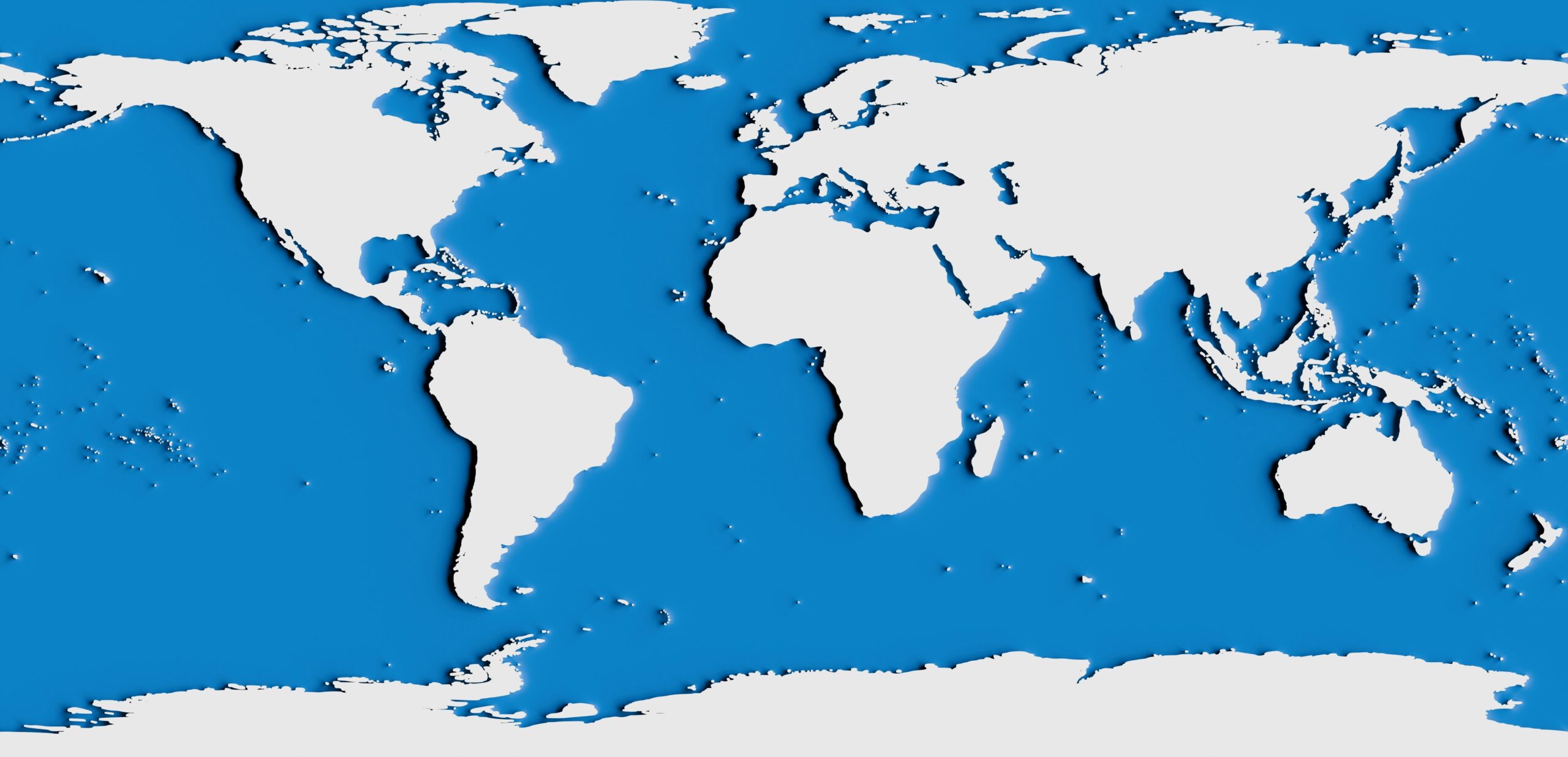
Exploring Ancient Ice Age Coastlines Through Maps
The Earth, over its long and dynamic history, has undergone cycles of dramatic climatic shifts, none perhaps as profoundly impactful as the Ice Ages. These periods, characterized by vast continental ice sheets and significantly lower sea levels, reshaped landscapes and redrew coastlines with an almost unimaginable scale. For modern geologists, archaeologists, and paleoenvironmental scientists, understanding these ancient shorelines is crucial for deciphering past human migrations, reconstructing ancient ecosystems, and comprehending the Earth’s sensitivity to climate change. Maps, the traditional and indispensable tools of exploration and understanding, become even more vital when venturing into the mists of these frozen epochs. Exploring ancient Ice Age coastlines through maps offers a unique window into a world both familiar and alien, a testament to the planet’s transformative power and humanity’s enduring adaptation.
The Last Glacial Maximum (LGM), the peak of the most recent Ice Age, roughly between 26,500 and 19,000 years ago, represents a period of global cooling and extensive ice coverage. During this time, global sea levels dropped by as much as 120 to 130 meters below present-day levels. This dramatic reduction in ocean volume allowed for the emergence of land bridges and the expansion of continental shelves, fundamentally altering the geography of coastlines around the world. Mapping these submerged or now-altered coastlines is a monumental undertaking, requiring the integration of diverse datasets and sophisticated analytical techniques.
Decoding the Evidence: What Maps Tell Us About the LGM
Ancient maps, especially those reconstructed from paleogeographic reconstructions, provide fundamental insights into the LGM coastlines. These are not hand-drawn charts from millennia past, but rather scientifically constructed representations based on a wealth of research. The most compelling evidence for these past shorelines comes from:
Submerged Landforms and Sedimentary Deposits
The ocean floor, a vast repository of geological history, holds the secrets of ancient coastlines. Geologists employ high-resolution seismic surveys and sonar mapping to identify submerged features such as ancient river channels, wave-cut terraces, and deltaic deposits. These are direct remnants of coastlines that existed when sea levels were far lower. For example, off the coast of the British Isles, extensive submerged plains, known as Doggerland, are being meticulously mapped, revealing a landscape that was once dry land connecting Britain to continental Europe. These submerged features, when plotted onto bathymetric maps, begin to paint a picture of where the shorelines once lapped.
Glacial Features and Their Implications
The presence of massive ice sheets also directly influences sea levels and coastal configurations. Glacial erosion carved out fjords and straits, while the immense weight of ice depressed the landmasses beneath it. As the ice retreated, isostatic rebound caused some areas to rise and others to subside, further complicating the reconstruction of ancient coastlines. Mapping the extent of past glaciation, often from landforms like moraines and erratics, helps geologists infer the likely sea levels and coastal configurations under glacial conditions. For instance, the extent of theLaurentian Ice Sheet in North America significantly impacted the coastlines of the Atlantic and Arctic oceans.
Paleoceanographic Proxies
The chemistry and composition of marine sediments provide indirect but powerful evidence for past sea levels and coastal environments. Analyzing the types of microfossils, the oxygen isotope ratios in shells, and the presence of specific minerals can indicate the salinity, temperature, and depth of ancient waters. These proxies, when compiled and analyzed spatially, allow researchers to infer the presence of shallower coastal waters in areas now deep beneath the ocean. Mapping these proxies acts as a form of geological detective work, revealing the extent of ancient coastlines by observing the environmental conditions they once supported.
Ancient maps of Ice Age coastlines provide fascinating insights into the geography and climate of prehistoric times, revealing how rising sea levels transformed landscapes and human settlements. For a deeper understanding of how historical events and environmental changes shape societies, you may find the article on Haiti’s state failure and its consequences particularly relevant. It explores the interplay between geography, resources, and societal stability, which can be paralleled with the shifts observed in ancient coastal maps. To read more, visit this article.
Ice Age Siberia: A Land Bridge and Emerging Landscapes
Siberia, during the Ice Age, played a pivotal role in global geography due to the Bering Land Bridge (Beringia). This vast expanse of dry land connected present-day Siberia and Alaska, allowing for the migration of flora, fauna, and eventually, humans between Asia and North America. The coastlines of Siberia during this period were dramatically different, shaped by both lower sea levels and the encroaching presence of ice sheets. Mapping these paleo-coastlines is essential for understanding the dynamics of the Beringian ecosystem and the pathways of early human dispersal.
Reconstructing the Beringian Shoreline
Mapping ancient Siberian coastlines primarily focuses on the paleogeography of the Bering Strait and the surrounding continental shelf. This involves integrating several lines of evidence:
Submerged Rivers and Tundra Systems
Beringia was not a barren desert but a rich tundra and boreal forest ecosystem. River valleys that are now submerged beneath the Bering Sea and the Chukchi Sea are identifiable through bathymetric surveys and sub-bottom profiling. These maps reveal ancient fluvial networks that once drained the landmass. The distribution of specific sediment types, such as peat deposits that indicate ancient terrestrial vegetation, further helps to delineate former coastlines and the extent of the land bridge.
Archeological Sites and Their Coastal Context
Many archeological sites in northeastern Siberia and Alaska are located on what would have been ancient coastlines or river terraces. Mapping the precise location of these sites in relation to inferred ancient sea levels provides crucial contextual information. For example, finding ancient hearths or tool scatters in areas now submerged necessitates the reconstruction of past shorelines to understand the resources available to these early inhabitants and their proximity to the sea. Coastal archaeological sites are particularly valuable, as they often preserve evidence of marine resource exploitation, directly linking human activity to the ancient coastline.
Isostatic and Tectonic Influences
The immense weight of ice sheets in North America and Eurasia also influenced the landmasses in Siberia. Similarly, tectonic activity can lead to localized uplift or subsidence. Maps that account for these geological forces are essential for accurately representing the position of the coastline during the LGM. Understanding the geological history of the region allows for more precise paleogeographic reconstructions, showing where the Ice Age coast of Siberia truly lay.
The Submerged Continent: Sahul and the Sahul Shelf

Australia, New Guinea, and Tasmania were once connected as a single landmass called Sahul during periods of lower sea levels, including the LGM. The vast Sahul Shelf, which is now submerged, represents a crucial area for understanding the early peopling of Australia and the unique megafauna that once inhabited this land. Mapping the Ice Age coastlines of Sahul is a complex endeavor, as it involves piecing together evidence from the continental shelf and interpreting the impacts of tectonic activity and sea-level fluctuations.
Charting the Lost Continent of Sahul
The reconstruction of Sahul’s Ice Age shorelines relies on a combination of geological, marine, and archeological data:
Marine Terraces and Sediment Analysis
The continental shelf surrounding Australia, particularly the Arafura Sea and the Gulf of Carpentaria, contains submerged features indicative of ancient shorelines. Submerged marine terraces, wave-cut platforms, and deposits of shell beds are mapping indicators of past coastal environments. Sediment cores from these areas, analyzed for their fossil content and composition, provide further clues about water depth, salinity, and the proximity of land. Mapping these features helps to delineate the extent of the Sahul Shelf when it was exposed land.
Paleontological Evidence and Megafauna Distribution
The fossil record of Sahul provides evidence of large, now-extinct animals, or megafauna, that roamed the expanding landmass during glacial periods. The distribution of these fossils, particularly those found closer to the present-day coastline or on the submerged shelf, can inform maps of where land existed during the LGM, as these animals would have lived on exposed terrain. Mapping the paleo-distribution of these animals in conjunction with paleogeographic reconstructions helps to visualize the Ice Age environment and its coastlines.
Archeological Discoveries and Inland Adaptations
While archeological sites in Australia are often found inland, their proximity to now-submerged river systems or ancient lakes provides clues about the hydrological landscape of the LGM. Evidence of human adaptation to a drier, but also more expansive, continent can be inferred from these sites. Mapping the locations of these archeological findings in relation to projected Ice Age coastlines helps to understand human migration patterns and resource utilization across the ancient continent of Sahul.
Mapping the Flooded Landscapes: Post-Glacial Rise and Coastal Change

The end of the LGM was marked by a dramatic warming trend and the subsequent melting of vast ice sheets. This led to a rapid and significant rise in global sea levels, inundating previously exposed coastlines and fundamentally reshaping the world’s geography. Mapping these changes is crucial for understanding the impact of rapid sea-level rise on past human societies and ecosystems. It also highlights the vulnerability of coastal regions to future climate change.
Visualizing the Submergence and Transformation
The process of mapping post-glacial sea-level rise and its impact involves reconstructing the sequence of events:
Sea-Level Curves and Their Geographic Application
Detailed sea-level curves, derived from radiometric dating of submerged reef terraces, coastal sediments, and archeological sites, provide a timeline of the post-glacial sea-level rise. These curves are then applied to paleogeographic maps to visualize the progressive inundation of the land. This allows for the creation of animated maps or series of maps showing how the coastlines retreated over millennia. Understanding these curves is fundamental to accurately depicting the loss of Ice Age coastlines.
Coastal Erosion and Sediment Deposition Patterns
As sea levels rose, coastlines experienced significant erosion and the deposition of new sediments. Mapping the patterns of these erosional features and depositional environments, such as the formation of modern deltas and the transgression of beach ridges, helps to understand the dynamic nature of post-glacial coasts. These patterns, when superimposed on paleogeographic maps, illustrate the transformation of the landscape.
Archeological Evidence of Coastal Migration
Archeological sites located along ancient coastlines that are now submerged provide direct evidence of human adaptation to rising sea levels. The discovery of tools and settlements in progressively higher locations can be used to track human migration as the land retreated. Mapping these sites in relation to mapped paleo-coastlines offers invaluable insights into the human response to dramatic environmental change.
Ancient maps of Ice Age coastlines provide fascinating insights into the geography and climate of prehistoric times, revealing how early humans adapted to their environments. For a deeper understanding of historical navigation and trade practices, you might find it interesting to explore the article on the Trading with the Enemy Act, which discusses the complexities of trade regulations throughout history. This connection highlights how ancient societies, much like those in later periods, navigated challenges in their interactions with one another. You can read more about it here.
The Value of Paleo-Coastline Maps for Modern Science
| Location | Year | Discoverer |
|---|---|---|
| Beringia | 1930 | David Hopkins Kelley |
| Doggerland | 1931 | Clement Reid |
| Sundaland | 1949 | Wilhelm Solheim |
The exploration of ancient Ice Age coastlines through maps is not merely an academic exercise in reconstructing the past. These maps hold immense value for a wide range of modern scientific disciplines, offering insights into human history, environmental change, and resource discovery.
Applications and Implications of Ancient Coastline Maps
The utility of these meticulously constructed maps extends far beyond theoretical understanding:
Understanding Human Migration and Settlement Patterns
The emergence of land bridges and the availability of coastal resources during glacial periods were critical factors in early human migration. Maps of ancient coastlines help us to trace the routes taken by our ancestors and understand how they adapted to different environments. This is particularly important for understanding the peopling of continents like the Americas and Australia. By mapping where humans were able to travel and settle, we gain a deeper appreciation for their resilience and ingenuity.
Reconstructing Past Ecosystems and Biodiversity
Ancient coastlines were associated with unique ecosystems that supported a diverse range of flora and fauna. Mapping these paleo-coastlines allows scientists to reconstruct the extent and characteristics of these ancient environments, providing insights into past biodiversity and the impact of climate change on ecosystems. This information is crucial for understanding ecological resilience and predicting future environmental changes.
Identifying Potential Submerged Archeological and Geological Resources
The vast submerged areas that were once Ice Age coastlines may hold significant archeological sites, shipwrecks, and valuable geological resources. Advanced mapping techniques used to delineate these ancient shorelines can also aid in the targeted exploration and discovery of these submerged assets. This has potential implications for both our understanding of history and for economic development.
Informing Climate Change Research and Coastal Management
The dramatic sea-level fluctuations of the Ice Ages serve as a stark reminder of the Earth’s sensitivity to climate change. By studying how coastal environments responded to past sea-level rise and fall, scientists can gain valuable insights into the potential impacts of current and future climate change on coastal regions worldwide. This knowledge is crucial for developing effective coastal management strategies and preparing for future challenges. Exploring these ancient coastlines through maps provides a tangible historical precedent for understanding the consequences of our current environmental trajectory.

Could Humanity Remember a World That No Longer Exists?
FAQs
1. What are ancient maps of Ice Age coastlines?
Ancient maps of Ice Age coastlines are representations of what the Earth’s coastlines looked like during the last Ice Age, when sea levels were significantly lower than they are today.
2. How were ancient maps of Ice Age coastlines created?
Ancient maps of Ice Age coastlines are created using a combination of geological evidence, such as shoreline features and sediment deposits, and modern technology, such as LiDAR and satellite imagery.
3. What do ancient maps of Ice Age coastlines reveal?
Ancient maps of Ice Age coastlines reveal the extent of land that was exposed during the last Ice Age, providing insights into human migration patterns, the distribution of flora and fauna, and the potential locations of ancient settlements.
4. What significance do ancient maps of Ice Age coastlines hold?
Ancient maps of Ice Age coastlines hold significance in understanding the Earth’s geological history, the impact of climate change on sea levels, and the potential for discovering archaeological sites and artifacts in areas that were once submerged.
5. Where can ancient maps of Ice Age coastlines be found?
Ancient maps of Ice Age coastlines can be found in scientific journals, research papers, and online databases, as well as in museums and educational institutions that specialize in geology, archaeology, and paleontology.