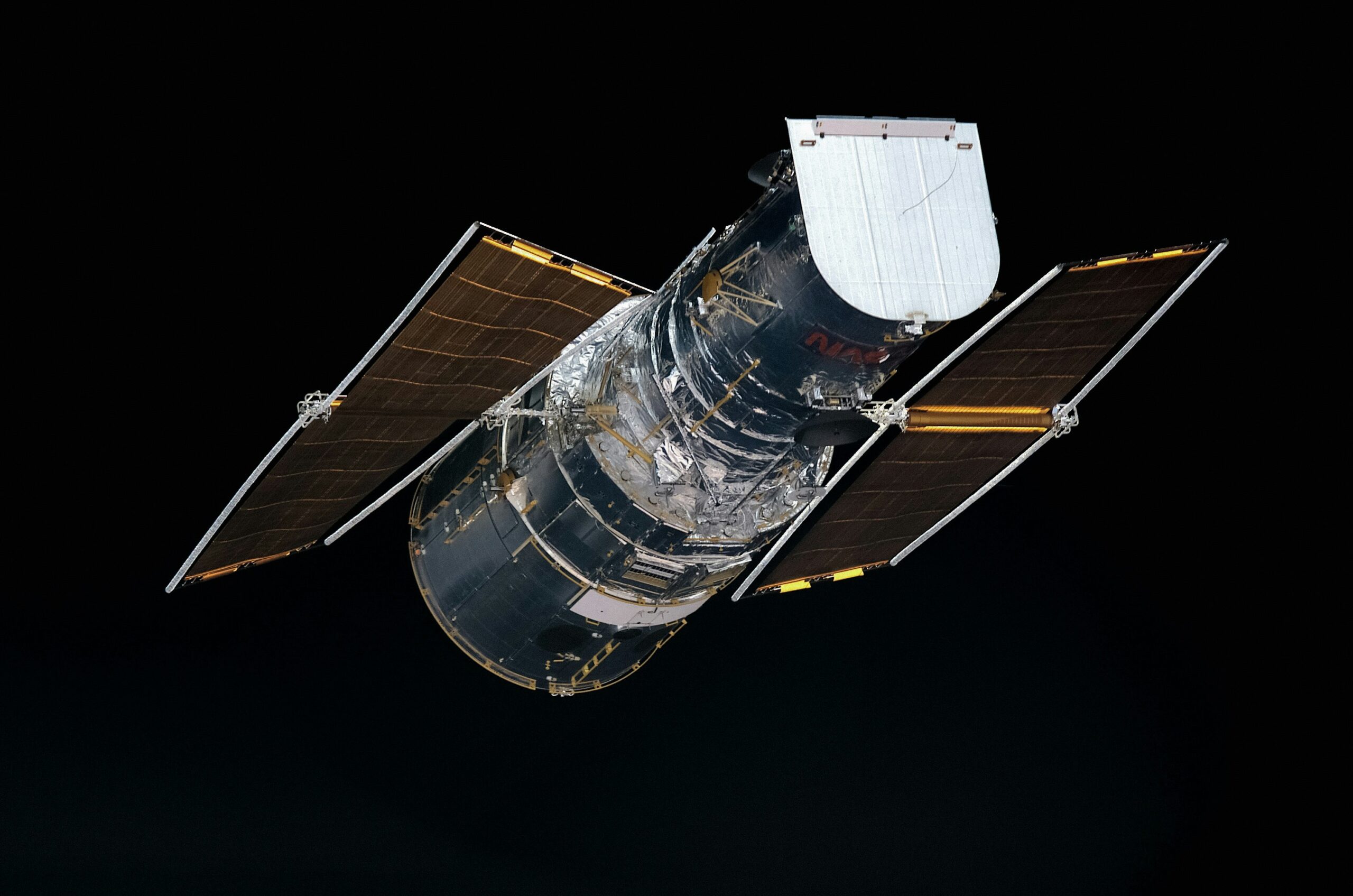
Uncovering Buried Rivers: Satellite Images Reveal Hidden Waterways
For millennia, humanity has relied on the predictable flow of rivers, shaping civilizations around their banks and charting courses for exploration and trade. Yet, beneath the veneer of familiar landscapes lie secrets whispered by the earth itself: lost rivers, long forgotten, that continue to shape their environment in unseen ways. Now, the revolutionary capabilities of satellite imagery are lifting the veil, allowing scientists and researchers to uncover these buried waterways, revealing a new understanding of our planet’s hydrological past and present. This emerging field is not merely an academic pursuit; it holds profound implications for water resource management, historical archaeology, and even predicting future environmental changes.
Rivers are dynamic entities, their paths sculpted by geological forces, climate shifts, and the relentless passage of time. Their disappearance can be a gradual fading or a dramatic vanishing act. Understanding these processes is crucial to recognizing the subtle signatures they leave behind.
Geological Transformations and Shifting Landscapes
The Earth’s crust is in constant, albeit slow, motion. Tectonic plates shift, mountains are uplifted, and basins subside. These grand geological processes can reroute entire river systems over vast timescales. A river that once flowed majestically might find its course blocked by a rising mountain range or diverted into a newly formed depression.
Tectonic Uplift and Diverted Drainage
When tectonic forces cause landmasses to rise, they can create natural dams or barriers that force rivers to seek new outlets. Imagine a gentle slope that begins to tilt; water, seeking the lowest point, will inevitably deviate from its original path. This process, operating over millions of years, can lead to the abandonment of entire river valleys as water finds more advantageous routes.
Subsidence and the Birth of Inland Seas or Swamps
Conversely, areas of land can also sink or subside. If this occurs in a way that creates a lower elevation, it can capture a river’s flow, leading to the formation of inland seas or extensive marshlands. The river might not technically “disappear” but rather transform into a vast, diffuse body of water, its original channeled form lost to memory and geological record.
Climatic Fluctuations and Aridification
Climate plays a dominant role in the life and death of rivers. Changes in precipitation patterns, temperature, and evaporation rates can profoundly impact the volume of water available to a river.
Prolonged Droughts and the Shrinking of Waterways
Extended periods of drought, sometimes lasting for centuries or even millennia, can cause rivers to shrink, fragment, and eventually dry up. The water table drops, and the surface flow recedes, leaving behind ephemeral streams or parched riverbeds. These dry remnants can then be covered by windblown sediment or vegetation, effectively burying the river.
Glacial Meltwater and Post-Glacial Retreat
In regions shaped by past glaciation, rivers often owe their existence to the slow melting of ice sheets. As glaciers retreat, the water source diminishes, and rivers that were once powerful torrents can dwindle and disappear. Evidence of these once-mighty meltwater rivers can still be found etched into the landscape, often buried beneath later deposits.
Human Impact and Altered Watercourses
While natural forces are potent agents of change, human activities have also played a significant role in altering and even erasing rivers throughout history.
Irrigation and Agriculture in Arid Regions
In arid and semi-arid environments, where water is a precious resource, civilizations have historically diverted rivers for irrigation. Extensive canal systems can tap into a river’s flow, leaving less water to continue downstream. Over time, the original course might diminish or become entirely dependent on the artificial channels, its natural form effectively lost.
Dam Construction and Reservoir Formation
The modern era has seen the widespread construction of dams, creating vast reservoirs behind them. While providing crucial water storage and power generation, these dams can fundamentally alter a river’s flow regime. Downstream, the river may become significantly reduced or even intermittent, and the original riverbed upstream is permanently submerged, effectively burying it under a man-made lake.
Satellite images have become a crucial tool in uncovering the hidden landscapes of our planet, including the discovery of buried rivers that once flowed through ancient terrains. These images provide valuable insights into the geological changes over time and can help researchers understand historical water systems. For further reading on the implications of safeguarding valuable resources, you can explore an interesting article on protecting your assets against potential government seizure at Protecting Your Gold: Safeguarding Against Government Seizure.
The Ghostly Signatures: Clues to Hidden Waterways
Even when a river has vanished from the surface, it often leaves behind subtle, yet discernible, clues. These clues, often invisible to the naked eye, are what satellite imagery excels at detecting.
Geomorphological Evidence and Landform Anomalies
The land itself retains the memory of its watery past. Erosion patterns, sediment deposition, and distinctive landforms can all point to the former presence of a river.
Ancient River Terraces and Floodplains
Rivers carve distinct terraces into their valleys as they adjust their course over time or as sea levels change. These stepped features, visible from above, can outline the past extents of a river and its floodplain. Similarly, ancient, buried floodplains are often marked by distinct soil types and sediment layers.
Incised Channels and Meander Scars
Even after sediment has filled them, the imprint of a river’s channel can persist. Subtle variations in topography, known as incised channels, can reveal the sunken pathway of a former river. Meander scars, the curved remnants of oxbow lakes formed when a meander is cut off, are also telltale signs of past river activity.
Vegetation Patterns and Soil Moisture Anomalies
Plant life is deeply interconnected with water availability, and subtle differences in vegetation can betray the presence of subsurface water.
Distinctive Vegetation Types and Density
Certain plant species thrive in areas with higher soil moisture, even if that moisture is from a buried water source. Researchers can identify these distinct vegetation patterns using satellite imagery, as they will appear as areas of greener, denser growth against an often drier backdrop.
Spectral Signatures of Waterlogged Soils
Different soil types reflect sunlight differently. Satellite sensors can detect subtle variations in spectral reflectance that indicate areas of higher moisture content. These “spectral signatures” can map out the subsurface extent of buried river systems, even if the surface vegetation is uniform.
Subsurface Features and Sediment Composition
While direct observation is impossible, indirect measurements can reveal crucial information about the subsurface.
Anomalous Sediment Deposits and Grain Size
Rivers transport sediment, and their former presence is often marked by distinct alluvial deposits. Satellite-based geophysical surveys can sometimes detect variations in subsurface density or magnetic properties that are characteristic of these buried river sediments. Analyzing the grain size of sediments, even from core samples, can confirm their origin from a waterborne transport system.
Ground Penetrating Radar (GPR) and Geophysical Surveys
While not strictly satellite imagery, data from GPR and other geophysical surveys, when correlated with satellite observations, can provide invaluable two-dimensional and even three-dimensional insights into what lies beneath the surface, confirming the presence of buried river channels and their infill.
Satellite Vision: Tools of Discovery
The advent of sophisticated satellite technology has revolutionized our ability to “see” what is hidden beneath the Earth’s surface. Different types of sensors and analytical techniques unlock the secrets of buried waterways.
Optical and Multispectral Imaging: Capturing Earth’s Surface Palette
Traditional satellite imagery, capturing visible and near-infrared light, provides a wealth of information about surface features.
High-Resolution Visible Imaging for Detailed Landforms
Satellites equipped with high-resolution optical cameras can capture incredibly detailed images of the Earth’s surface. This allows researchers to meticulously map out ancient river terraces, meander scars, and subtle topographic variations that might indicate buried channels.
Multispectral Analysis for Vegetation and Soil Mapping
Multispectral sensors capture light across numerous narrow bands of the electromagnetic spectrum. By analyzing the reflectance in different bands, researchers can differentiate between various vegetation types, identify areas of stressed or healthy plant life due to varying water availability, and map soil composition, all of which can be indicative of subsurface water.
Radar and Thermal Imaging: Peering Through Obstructions and Measuring Heat
Beyond visible light, radar and thermal imaging offer unique perspectives, capable of penetrating cloud cover and detecting temperature variations.
Synthetic Aperture Radar (SAR) for Subsurface and Cloud Penetration
SAR satellites emit radar pulses and analyze the backscattered signal. This technology has the remarkable ability to penetrate vegetation and even dry soil to a certain extent, revealing subtle topographic features that might be obscured on the surface. SAR is also invaluable in cloudy regions where optical imagery is often limited.
Thermal Infrared Imaging for Soil Moisture and Temperature Gradients
Thermal infrared sensors measure the heat emitted by the Earth’s surface. Areas with higher soil moisture tend to have different thermal properties, often appearing cooler due to evaporative cooling. Mapping these temperature gradients can highlight areas where subsurface water is influencing the surface temperature, indicating likely buried river locations.
LiDAR: Creating Precise 3D Models of the Landscape
Light Detection and Ranging (LiDAR) technology utilizes lasers to create highly detailed, three-dimensional maps of the terrain.
Airborne and Spaceborne LiDAR for Precision Topography
While often deployed from aircraft, spaceborne LiDAR is increasingly capable of mapping large areas with exceptional accuracy. LiDAR can strip away vegetation cover digitally, revealing the underlying topography with unprecedented detail. This is crucial for identifying subtle channel features and terrace systems that might be invisible even to high-resolution optical imagery.
Identifying Subtle Elevation Changes and Paleochannels
The precise elevation data provided by LiDAR is instrumental in mapping out the subtle dips and rises that characterize ancient riverbeds and their associated floodplains. This allows for the creation of detailed digital elevation models (DEMs) that clearly delineate these buried hydrological features.
Unlocking the Past: Rivers and History
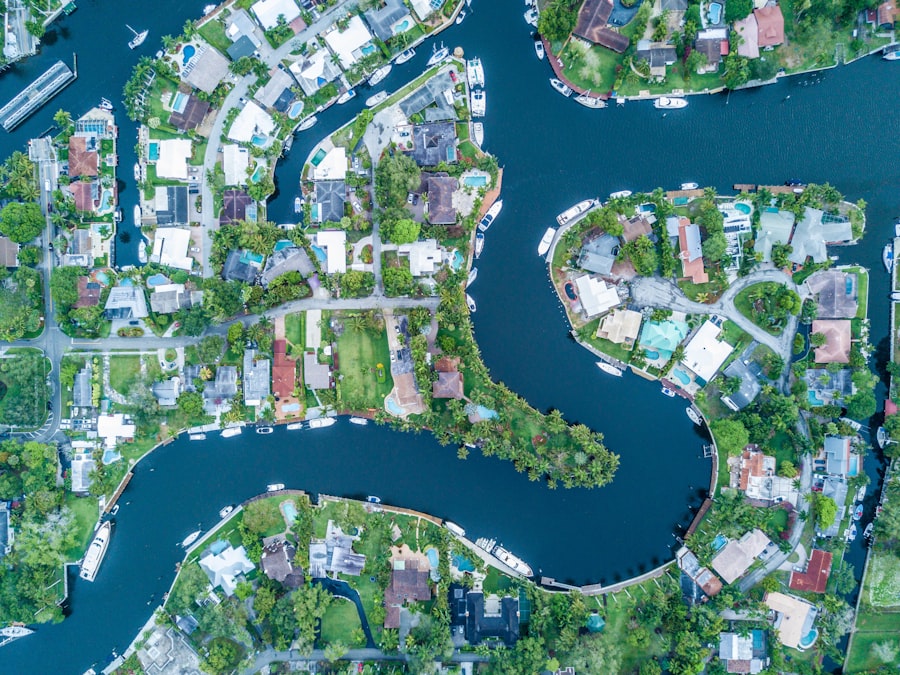
The discovery of buried rivers is not just about hydrology; it is about rewriting our understanding of human history and settlement patterns. Ancient civilizations were inextricably linked to water, and the location of their settlements often depended on the presence of rivers.
Rewriting Ancient Settlement Patterns
The confirmation of previously unknown or forgotten river courses can dramatically alter our understanding of where ancient peoples lived, migrated, and developed their societies.
Tracing Trade Routes and Migration Corridors
Rivers have historically served as vital arteries for trade and travel. Discovering buried rivers can reveal lost trade routes, suggest new migration corridors, and provide explanations for the placement of ancient settlements that were previously inexplicable.
Understanding Agricultural Practices and Resource Management
The presence of water was fundamental to agriculture. Identifying ancient river systems can shed light on the irrigation techniques employed by past societies, their understanding of water management, and the agricultural landscapes they cultivated.
Archaeological Discoveries and Cultural Insights
The archaeological record is often found in close proximity to water sources. The unveiling of buried rivers can lead to significant archaeological discoveries.
Discovering Lost Settlements and Artifacts
Ancient settlements, villages, and even entire cities may have been situated along rivers that have since disappeared. The identification of these buried waterways can guide archaeologists to new excavation sites and the potential discovery of undiscovered artifacts, tools, and cultural remnants.
Reinterpreting Historical Records and Legends
Many historical texts and local legends speak of rivers that no longer exist. The scientific confirmation of buried rivers can provide concrete evidence for these accounts, allowing for a reinterpretation of historical records and a deeper understanding of cultural narratives.
Recent advancements in satellite imaging technology have unveiled fascinating insights into the hidden landscapes of our planet, including the discovery of buried rivers that once flowed through ancient civilizations. These findings not only enhance our understanding of historical geography but also provide clues about past human settlements. For those interested in exploring how these ancient city ruins relate to the study of buried waterways, a related article can be found here, which delves into the mysteries of forgotten urban environments.
Future Horizons: Water Security and Environmental Management
| Location | Depth of Buried River (meters) | Width of Buried River (meters) | Length of Buried River (kilometers) |
|---|---|---|---|
| Amazon Rainforest | 10 | 50 | 100 |
| Sahara Desert | 5 | 30 | 80 |
| Arctic Tundra | 8 | 40 | 120 |
The potential applications of uncovering buried rivers extend far beyond historical curiosity. This knowledge is crucial for addressing contemporary challenges in water security, resource management, and environmental conservation.
Groundwater Recharge and Aquifer Mapping
Buried rivers often play a significant role in replenishing groundwater aquifers, which are vital sources of fresh water for many communities.
Identifying Recharge Zones and Understanding Flow Paths
By mapping the extent and characteristics of buried river systems, scientists can better identify areas where surface water infiltrates the ground to recharge aquifers. This understanding is critical for sustainable groundwater management and preventing over-extraction.
Estimating Groundwater Reserves and Vulnerability
The presence of buried river sediments can indicate potentially significant groundwater reserves. This information is crucial for assessing a region’s water security and developing strategies for its responsible utilization. Furthermore, understanding how buried rivers connect to surface water systems can help predict how pollution might spread through the subsurface.
Environmental Restoration and Water Resource Planning
The insights gained from identifying buried rivers have direct implications for environmental restoration projects and long-term water resource planning.
Restoring Degraded Waterways and Ecosystems
Understanding the historical hydrological landscape, including the paths of buried rivers, can inform efforts to restore degraded river systems and the ecosystems they once supported. This might involve re-establishing natural flow paths or managing existing groundwater resources influenced by these ancient channels.
Developing Sustainable Water Management Strategies
In regions facing increasing water scarcity, the discovery of ancient, often untapped, water sources can inform more sustainable and long-term water management planning. This knowledge can lead to innovative solutions for water supply, agricultural practices, and community development.
Predicting Future Environmental Change
The geological and climatic factors that led to rivers disappearing are often tied to broader environmental processes that continue to influence our planet today.
Understanding Paleoclimatic Conditions
The study of buried rivers provides valuable proxy data for reconstructing past climate conditions. By analyzing the sedimentology and geomorphology of these ancient waterways, scientists can gain insights into past precipitation patterns, drought durations, and temperature regimes, which can help in refining climate models.
Assessing Vulnerability to Climate Change
The patterns of river disappearance in the past, driven by climate shifts, offer important lessons for the future. Understanding how landscapes responded to past aridification or changes in water availability can help us predict how current and future climate change might impact water resources and ecosystems.
In conclusion, the silent narratives of buried rivers, once lost to the depths of history and earth, are now being brought to light by the ever-watchful eye of satellite imagery. These hidden waterways are not merely relics of the past; they are active participants in the ongoing story of our planet, shaping landscapes, influencing ecosystems, and holding vital clues for our future. As technology advances, the exploration of these subterranean realms will undoubtedly continue to reveal new wonders, deepen our understanding of Earth’s complex systems, and guide us towards a more sustainable and informed relationship with the precious resource of water.

The Ancient World Buried Beneath the Sahara
FAQs
What are satellite images of buried rivers?
Satellite images of buried rivers are images captured by satellites that reveal the presence of ancient river channels buried beneath the Earth’s surface. These images can provide valuable information about the geological history of an area and help in understanding the potential for groundwater resources.
How are satellite images of buried rivers obtained?
Satellite images of buried rivers are obtained using remote sensing technology. Satellites equipped with specialized sensors capture images of the Earth’s surface, which can then be analyzed to identify the presence of buried river channels based on various geological and topographical features.
What information can be derived from satellite images of buried rivers?
Satellite images of buried rivers can provide information about the past hydrological activity in a region, including the location and extent of ancient river channels, the patterns of erosion and sediment deposition, and the potential sources of groundwater. This information can be valuable for geological and hydrological studies.
What are the applications of satellite images of buried rivers?
The applications of satellite images of buried rivers include groundwater exploration, geological mapping, environmental impact assessments, and archaeological studies. These images can also be used to assess the potential for water resource management and land use planning in a given area.
What are the limitations of satellite images of buried rivers?
Limitations of satellite images of buried rivers include the resolution of the images, which may not always provide detailed enough information for certain geological or hydrological studies. Additionally, the interpretation of these images requires expertise in remote sensing and geological analysis to accurately identify buried river channels.