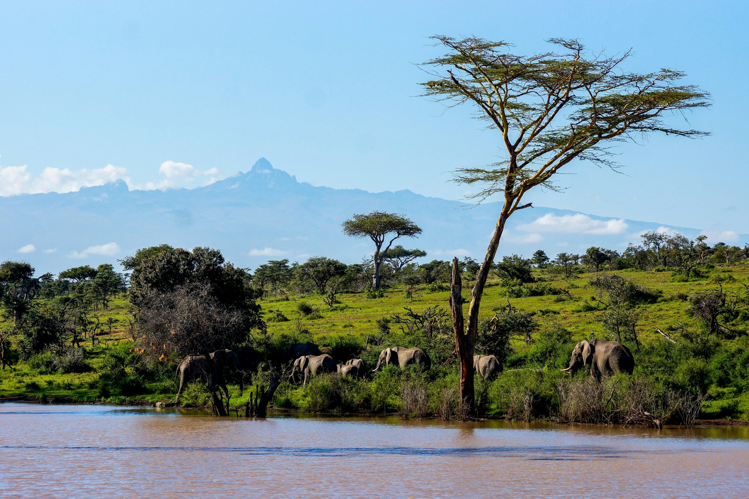
The African continent, a cradle of human civilization and a vast repository of geological history, has long held secrets beneath its sun-baked surface. Recent scientific endeavors have begun to peel back the layers of time, revealing compelling evidence of ancient, colossal lakes that once dotted the landscape. These discoveries are not merely academic curiosities; they offer profound insights into past climates, the evolution of life, and potentially, the very origins of humanity. This article delves into the remarkable findings that are reshaping our understanding of Africa’s hydrological past.
The notion of ancient lakes in Africa is not entirely new. For decades, geologists and paleontologists have observed intriguing geological formations and fossilized remains that hinted at the presence of vast bodies of water in regions now characterized by aridity. However, these were often isolated observations, difficult to piece together into a coherent narrative of extensive hydrographic systems. The true scale of these forgotten aquatic realms remained largely elusive until the advent of more sophisticated geophysical survey techniques and advanced satellite imaging.
Subterranean Shadows: Geophysical Exploration
Ground-penetrating radar (GPR) and seismic surveys have become invaluable tools in this scientific quest. These non-invasive methods allow researchers to peer beneath the Earth’s surface, mapping geological structures and identifying anomalies that might indicate buried sediments, ancient shorelines, or even the bedrock of former lake basins. GPR, in particular, operates by emitting radio waves into the ground and measuring their reflections, providing a cross-sectional view of subsurface layers. Anomalies such as distinct layering, unconformities (breaks in geological continuity), and unusually soft or porous sediment can all be indicative of lacustrine (lake-related) deposits. Seismic surveys, which involve creating vibrations and analyzing how they travel through the Earth, can reveal larger structural features, helping to delineate the boundaries of vast depressions that likely held water.
A Bird’s-Eye View: Satellite Imagery and Remote Sensing
The vantage point of space has also proven indispensable. Advanced satellite imagery, utilizing a range of spectral bands, has allowed scientists to identify subtle changes in vegetation patterns, soil composition, and landforms that can only be explained by the presence of ancient water sources. For instance, certain mineral deposits that form in aquatic environments can be detected from orbit. Furthermore, changes in elevation and the subtle signatures of ancient river channels leading to former lake systems can be mapped with unprecedented detail. The ability to synthesize data from multiple satellite platforms, each offering a unique spectral or spatial resolution, has been crucial in correlating ground-based evidence with broader regional patterns.
Sedimentary Signatures: The Language of Rocks
The most direct evidence for ancient lakes lies, of course, in the sedimentary rock record. Geologists meticulously study cores extracted from boreholes and analyze exposed rock formations. These sediments act as a historical archive, preserving clues about the environment in which they were deposited. Fine-grained clays, silts, and sands, often found in distinct, horizontally layered deposits, are classic indicators of calm, standing water. The presence of specific minerals, such as certain types of carbonates and evaporites (salts that precipitate from evaporating water), further confirms the existence and nature of these ancient aquatic environments. Examining the fossil content within these sediments – the shells of ancient mollusks, the skeletal remains of fish, or even preserved plant material – provides further confirmation of aquatic conditions and can offer insights into the water’s salinity and depth.
Recent studies have provided compelling evidence of ancient lakes in Africa, shedding light on the continent’s climatic history and its impact on human civilization. These findings are crucial for understanding how ancient environments influenced migration patterns and settlement. For a deeper exploration of the challenges and opportunities presented by post-colonial borders in Africa, you can read more in this related article: Navigating Post-Colonial Borders: Challenges and Opportunities.
The Great Lakes of the Past: Mapping Extent and Characteristics
The cumulative evidence from these diverse methodologies has allowed scientists to begin mapping the impressive scale and characteristics of these forgotten African lakes. Far from being mere puddles, these were often expansive bodies of water, comparable in size to some of the world’s largest present-day lakes and seas.
The Sahara’s Secret Seas: Ancient Mega-Lakes
Perhaps the most striking discoveries have been related to the Sahara Desert. Once a verdant savanna, this now arid region was home to at least two colossal ancient lakes: Lake Mega-Chad and Lake Tchad Chad. Lake Mega-Chad, which existed primarily during the African Humid Period (roughly 11,000 to 5,000 years ago), was an immense body of fresh to brackish water that at its peak may have covered an area of over 1 million square kilometers, stretching across parts of present-day Chad, Niger, Libya, and Sudan. Its existence dramatically altered the regional climate, supporting a rich ecosystem that included hippos, crocodiles, fish, and diverse birdlife. The evidence for its existence comes from extensive sedimentary deposits, ancient shorelines visible from space, and the discovery of fossilized remains.
The Rift Valley’s Lost Oceans: Paleo-Lakes in East Africa
The East African Rift Valley, a geologically active region known for its present-day lakes like Tanganyika and Malawi, also harbors evidence of even larger, ancient counterparts. Paleo-Lake Victoria, for instance, is thought to have been significantly larger than the current Lake Victoria, with its basin potentially extending further north and west. Similarly, paleo-Lake Turkana and paleo-Lake Chew Bahir held vast amounts of water. These ancient lakes played a crucial role in the region’s hydrology and likely supported the evolution of early hominins by providing a consistent water source and abundant food resources. The geological formations around these ancient lakebeds, including layered sediments and fossiliferous deposits, provide compelling evidence of their past abundance.
Variations in Salinity and Depth: Environmental Reconstruction
Understanding the salinity and depth of these ancient lakes is crucial for reconstructing their ecological significance. Evidence from mineral deposits helps differentiate between freshwater, brackish, and hypersaline (very salty) lakes. For example, the presence of gypsum and halite indicates periods of significant evaporation and higher salinity. Sediment analyses, including the type of organic matter preserved, can also provide clues about oxygen levels in the water column, suggesting whether lakes were shallow and well-aerated or deep and potentially anoxic (lacking oxygen) at their lowest points. The presence of invertebrate fossils, such as ostracods (small crustaceans) and mollusks, can offer specific indicators of salinity levels, as different species have adapted to particular ionic concentrations.
Implications for Ancient Climates: Hydrological Cycles and Aridification

The discovery of these ancient lakes forces a radical re-evaluation of Africa’s climatic history. It highlights that the continent has experienced dramatic shifts between wet and dry periods, driven by complex global and regional climate drivers. These findings are not just about the past; they offer valuable lessons for understanding future climate change.
The African Humid Period: A Time of Plenty
The most significant wet period associated with these large lakes is the African Humid Period, also known as the Green Sahara. During this time, atmospheric circulation patterns shifted, drawing monsoon rains further inland than they do today. This influx of moisture sustained these vast lakes and the surrounding savanna ecosystems, creating an environment that was remarkably different from the arid desert of today. The presence of these lakes directly influenced local precipitation patterns, creating a positive feedback loop that helped maintain wetter conditions. Understanding the triggers and eventual decline of the African Humid Period is a key area of research.
Triggers and Transitions: The Drivers of Change
The transition from wet to arid conditions was not sudden. It was a gradual process influenced by a combination of factors, including changes in Earth’s orbital parameters (Milankovitch cycles), which affect the amount of solar radiation received by different parts of the Earth, and shifts in atmospheric ocean circulation patterns. As these drivers changed, the monsoonal rains receded, leading to increased evaporation and the eventual shrinking and disappearance of the ancient lakes. The timing and speed of this aridification process had profound impacts on the flora and fauna of the continent, including early human populations.
Lessons for Today: Modeling Future Aridity
By studying the mechanisms that led to the desiccation of these ancient lakes, scientists can develop more accurate models to predict future climate change, particularly concerning desertification and water availability in Africa. The past provides a powerful analog for understanding how climate systems can shift and what the consequences might be for fragile ecosystems and human societies. The study of these past climatic transitions helps refine our understanding of tipping points in climate systems.
Untangling Human Origins: Lakes as Hominin Habitats

The existence of these vast, stable water sources has profound implications for our understanding of human evolution. Many of the key fossil sites where early hominin remains have been discovered are located in regions that were once adjacent to these ancient lakes.
Rivers of Life: Water Sources for Early Hominins
Ancient lakes and the rivers that fed them would have been critical oases for early hominins. They provided a reliable source of drinking water, essential for survival in often challenging environments. Furthermore, these aquatic ecosystems supported a rich biodiversity, offering a diverse range of food resources. Fish, waterfowl, aquatic plants, and the terrestrial animals that congregated around water sources would have been a significant part of the hominin diet. The stability of these water sources would have encouraged more localized and perhaps less nomadic lifestyles, fostering the development of social structures and technological innovation.
Paleoanthropological Hotspots: Sites of Discovery
Many of the most important paleoanthropological sites in Africa, such as those in the Turkana Basin of Kenya and Ethiopia, are situated within or adjacent to the basins of ancient lakes. The fossil beds at these locations often preserve not only hominin remains but also the remains of the ancient fauna and flora that coexisted with them, providing a comprehensive picture of the paleoenvironment. The discovery of stone tools alongside hominin fossils in these sedimentary layers further cements the link between these ancient aquatic landscapes and the development of human culture.
Evolutionary Pressures and Adaptations: Shaped by Water
The presence of these fluctuating but often abundant water resources likely played a significant role in shaping hominin evolution. The availability of food and water may have influenced the pace of bipedalism, the development of complex social behaviors, and the expansion of brain size as hominins exploited diverse ecological niches. The selective pressures imposed by these environments – whether the need to forage in aquatic environments, compete for resources, or adapt to changing water availability – would have contributed to the mosaic of adaptations seen in our ancestors. The study of the food webs associated with these ancient lakes provides direct insights into the dietary strategies of early hominins.
Recent studies have provided compelling evidence of ancient lakes in Africa, shedding light on the region’s climatic history and its impact on early human civilizations. These findings suggest that vast bodies of water once existed, supporting diverse ecosystems and human settlements. For a deeper understanding of how these ancient environments may have influenced pre-flood civilizations, you can explore this insightful article on the topic here. The interplay between geography and human development in Africa continues to be a fascinating area of research.
Future Frontiers: Ongoing Research and Emerging Technologies
| Location | Type of Evidence | Age of Lake |
|---|---|---|
| Lake Turkana, Kenya | Fossilized fish and shells | 10 million years |
| Lake Tanganyika, East Africa | Deep sediment cores | 20 million years |
| Lake Malawi, East Africa | Fossilized diatoms and pollen | 1-2 million years |
The scientific journey to uncover Africa’s ancient lakes is far from over. New discoveries are being made regularly, and emerging technologies promise to reveal even more about these lost worlds.
Deeper Dives: Advanced Sediment Analysis
Future research will involve increasingly sophisticated methods for analyzing sediment cores. Techniques such as geochemistry, paleoclimatology, and biomolecular analysis will provide more detailed insights into water chemistry, temperature fluctuations, and the types of microbial communities that inhabited these ancient lakes. Advanced isotopic analysis of fossilized remains can provide highly precise dating and information about the diet and migration patterns of both animals and hominins.
Unveiling Hidden Basins: Next-Generation Geophysics
The application of next-generation geophysical methods, including advanced seismic tomography and magnetotellurics, may help to identify even more deeply buried or less obvious lake basins. These technologies can penetrate further into the Earth’s crust and provide higher resolution images of subsurface structures, potentially revealing the remnants of ancient lakes that are currently undetectable with existing methods. The use of drone-mounted geophysical equipment is also allowing for more detailed surveys of remote and difficult-to-access areas.
Virtual Reconstruction: Digital Environments
The integration of data from various sources will enable scientists to create highly detailed 3D digital reconstructions of these ancient lake systems. These virtual environments will allow researchers to visualize the scale of these lakes, understand their hydrological dynamics, and simulate the ecological interactions that took place within them. This approach offers a powerful tool for both scientific research and public engagement, bringing these ancient landscapes to life.
Interdisciplinary Collaboration: A Holistic Approach
Ultimately, the most significant advancements will come from increased interdisciplinary collaboration. By bringing together geologists, paleontologists, climatologists, archaeologists, and evolutionary biologists, scientists can develop a more holistic understanding of these ancient African lakes and their profound impact on the planet’s history and the story of human evolution. This integrated approach is essential for synthesizing the vast amounts of data and addressing the complex questions that arise from these discoveries. The ongoing quest to understand Africa’s hidden hydrological past is a testament to the power of scientific inquiry and its ability to unveil the extraordinary stories hidden within the Earth.

The Ancient World Buried Beneath the Sahara
FAQs
What is the evidence of ancient lakes in Africa?
The evidence of ancient lakes in Africa includes geological formations, sedimentary deposits, and fossilized remains of aquatic organisms. These features provide clues about the presence of large bodies of water in the past.
Where are the ancient lake deposits found in Africa?
Ancient lake deposits are found in various regions across Africa, including the East African Rift Valley, the Sahara Desert, and the Kalahari Desert. These deposits offer insights into the environmental history of the continent.
What do ancient lake deposits reveal about Africa’s past climate?
Ancient lake deposits reveal that Africa’s past climate was significantly different from its current climate. The presence of large lakes suggests a wetter and more humid climate in certain regions, while the absence of lakes indicates drier conditions.
How do scientists study ancient lake deposits in Africa?
Scientists study ancient lake deposits in Africa through various methods, including geological mapping, sediment analysis, and the examination of fossilized remains. These studies help reconstruct the environmental conditions and the evolution of landscapes over time.
What significance do ancient lake deposits hold for understanding Africa’s history?
Ancient lake deposits hold significant importance for understanding Africa’s history as they provide valuable information about past climates, ecosystems, and the geological evolution of the continent. This knowledge contributes to our understanding of Earth’s environmental changes and the impact on human and animal populations.