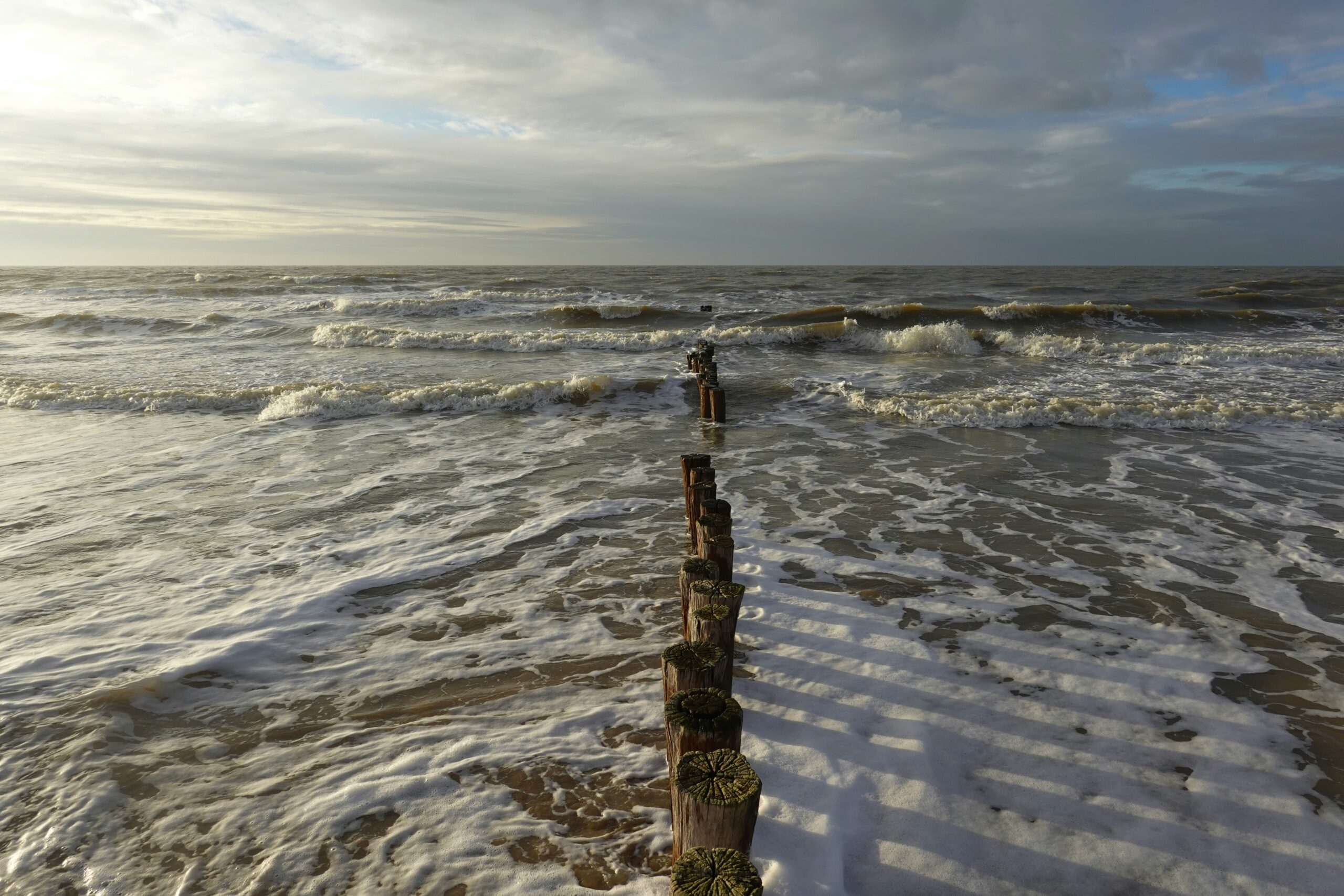
The North Sea, a familiar expanse of restless grey water for many, holds secrets far deeper than its present-day waves suggest. Beneath its churning surface lies a forgotten world, a submerged landscape shaped by geological forces and the ebb and flow of ancient seas. This is the story of Doggerland, a vast, fertile landmass that once connected Britain to mainland Europe, a world lost to the relentless rise of water, and the fascinating clues that are slowly, painstakingly, bringing it back from the depths.
Before the powerful reach of the Atlantic Ocean claimed its dominion, before the familiar coastlines of the United Kingdom and continental Europe were etched into being, there existed a landmass that was home to our ancestors. This was Doggerland, a sprawling territory that occupied much of what is now the southern North Sea. Its existence is not a fanciful tale, but a deduction born from scientific evidence, pieced together through painstaking research and remarkable discoveries.
The Ice Age’s Legacy
The story of Doggerland is inextricably linked to the colossal forces of the last Ice Age. For millennia, much of northern Europe was entombed in ice sheets, and the sea levels were dramatically lower than today. This period of glaciation acted as a powerful sculptor of the earth’s crust, pushing down landmasses and exposing vast swathes of what are now submerged territories. As the ice retreated, the land, relieved of its immense weight, began to rebound – a phenomenon known as isostatic uplift. Simultaneously, the melting glaciers poured vast quantities of fresh water into the oceans, leading to a steady and persistent rise in sea levels.
Rivers Carved the Landscape
During the Ice Age, when sea levels were significantly lower, the rivers that now flow into the North Sea – such as the Thames, Rhine, and Meuse – continued their courses across the exposed land. These mighty rivers, fed by glacial meltwater and a more extensive network of tributaries, carved deep valleys and vast floodplains across what would become Doggerland. They served as the lifeblood of the nascent landscape, shaping its topography and creating fertile basins for early human habitation. The channels of these ancient rivers are still detectable on the seabed today, a ghostly echo of their former glory.
A Cradle of Early Human Life
Doggerland was not an uninhabited wilderness. Archaeological evidence strongly suggests that this fertile land was a significant area for hunter-gatherer communities during the Mesolithic period, roughly between 10,000 and 6,500 BCE. These early humans, following the migration patterns of game and the seasonal availability of resources, would have traversed and inhabited Doggerland, leaving behind traces of their existence in the form of flint tools, animal bones, and potentially even temporary settlements.
The Evidence Beneath the Waves
The discovery of Mesolithic artifacts, particularly flint tools like microliths and leaf-shaped points, dredged up by fishermen and discovered by archaeologists, provided the first tantalizing hints of human activity on the North Sea floor. These objects, often found in association with ancient riverbeds and peat deposits, acted as signposts, pointing towards a submerged past. Each find, though small in isolation, contributed to a growing picture of a lost chapter in human history.
The intriguing concept of a “lost world beneath the North Sea” draws parallels to the fascinating exploration of ancient civilizations and their resource management strategies. For a deeper understanding of how societies adapted to their environments, you can read about the various rationing systems in the ancient world, which highlights the innovative methods used by past cultures to survive and thrive in challenging conditions.
The Drowning of a Continent: Cataclysmic Events
The story of Doggerland is ultimately a tale of loss, a gradual but relentless submersion driven by powerful geological and climatic forces. The rising sea levels, a direct consequence of melting ice sheets, were the primary agents of its demise, but a dramatic, catastrophic event likely played a significant role in its final capitulation.
The Gradual Inundation
As the Ice Age waned, the warming climate initiated a global melt of glaciers and ice sheets. This influx of freshwater into the oceans caused sea levels to rise steadily. Over thousands of years, the edges of Doggerland began to be nibbled away by the encroaching sea. Coastal erosion, driven by tides, currents, and storms, accelerated this process. What was once a vast landmass gradually shrank, its fertile plains and forests slowly succumbing to the salty embrace of the sea.
The Shifting Coastline
The coastline of Doggerland was not static. Early humans would have witnessed a slowly but surely changing landscape. The extent of the landmass would have varied with glacial cycles and the constant interplay of erosion and deposition. However, the trend was unequivocally towards submersion. The process was not an overnight event but a slow, inexorable retreat of the land, forcing its inhabitants to adapt and eventually migrate.
The Storegga Slide: A Tsunami of Unimaginable Scale
While gradual inundation was the norm, the final demise of Doggerland’s western reaches is thought to have been dramatically accelerated by a catastrophic event: the Storegga Slide. This massive underwater landslide, which occurred around 8,200 years ago off the coast of Norway, released an immense volume of sediment and rock into the Norwegian Sea. The displacement of such a colossal amount of material generated a tsunami of unprecedented scale, its waves sweeping across the North Sea and beyond.
The Impact on Doggerland
This colossal wave would have battered the remaining landmass of Doggerland, inundating its low-lying areas and accelerating erosion. It is widely believed that the Storegga Slide tsunami was the final nail in the coffin for much of the inhabited western parts of Doggerland, forcing its remaining human populations to flee inland or adapt to a more fragmented landscape. The sheer force of this event would have reshaped coastlines and had a profound impact on the ecosystems of the region.
Unearthing the Lost World: The Search for Doggerland
The existence of Doggerland, once a mere speculation, has become a tangible reality thanks to the advancements in surveying technologies and the dedication of archaeologists and geoscientists. The North Sea seabed, once a barrier, has become a canvas upon which the story of this lost world is being slowly unveiled.
Geophysical Surveys: Mapping the Submerged Terrain
Modern geophysical surveys, employing sonar and seismic imaging, have been instrumental in mapping the submerged topography of the North Sea. These technologies allow researchers to peer through the sediment layers and identify the ancient river valleys, coastlines, and even subtle topographical features that are remnants of Doggerland. This detailed mapping provides the skeletal framework upon which the archaeological discoveries can be placed, giving context to the scattered finds.
The Ancient River Channels
The most striking features revealed by these surveys are the unmistakable courses of ancient rivers. These vast channels, often hundreds of meters wide, cut deep into the seabed, their sinuous paths mirroring those of modern-day great rivers. They are silent testament to the hydrological power that once shaped this landscape, a network of arteries that sustained life.
Sediment Cores: Reconstructing the Environment
By drilling into the seabed and extracting sediment cores, scientists can analyze the layers of accumulated material. These cores act as time capsules, preserving pollen, diatoms, and other organic remains. By studying these microscopic fossils, researchers can reconstruct the ancient environment of Doggerland, determining the types of vegetation that grew there, the salinity of the water, and the overall climate.
Whispers from the Peat Bogs
The discovery of well-preserved peat bogs beneath the North Sea has been particularly significant. These anaerobic environments are exceptional at preserving organic material. Within these submerged bogs, researchers have found preserved plant matter, wood, and even insect remains, offering a detailed snapshot of Doggerland’s flora and fauna before it was lost to the sea. These findings are crucial for understanding the ecological richness of the lost land.
Echoes of Occupation: Artefacts from the Deep

The tangible evidence of Doggerland’s human past lies in the artefacts brought to the surface, primarily by the fishing industry. These often-unlikely discoveries have provided invaluable insights into the lives of its former inhabitants.
Flint Tools: The Signature of Mesolithic Man
The most common archaeological finds from Doggerland are flint tools. These include microliths – small, sharp flakes used for hafting onto spears or arrows – as well as larger handaxes and scrapers. The sophistication and variety of these tools point to skilled craftsmanship and a deep understanding of their environment and the resources available.
The Ingenuity of Early Hunters
The presence of these tools indicates that Doggerland was a hunting ground. The wide open spaces and the presence of game animals would have made it an attractive location for Mesolithic hunter-gatherers. The distribution of these tools also helps archaeologists to infer migration routes and areas of settlement.
Wood and Bone: Traces of Daily Life
While less common, discoveries of wood and bone artefacts offer a more intimate glimpse into the daily lives of Doggerland’s inhabitants. Preserved wooden tools, fragments of spears, and animal bones with evidence of butchery provide direct evidence of how these early people interacted with their environment and utilized its resources.
The Fragility of Preservation
The survival of organic materials like wood and bone beneath the sea is a remarkable feat, often requiring specific environmental conditions such as anoxic peat bogs. These finds are rare but immensely valuable, offering a more personal connection to the people who once walked this now-submerged land.
The discovery of a lost world beneath the North Sea has sparked significant interest among researchers and historians alike, revealing insights into ancient civilizations and their interactions with the environment. This fascinating topic is intricately connected to the broader discussions surrounding territorial claims and geopolitical tensions in the region. For a deeper understanding of these complex issues, you can explore the article on navigating contested territories, which provides valuable context on the current geopolitical landscape. To read more about it, visit navigating contested territories.
The Future of Doggerland: Preservation and Understanding
| Metrics | Data |
|---|---|
| Depth of the North Sea | Up to 700 feet |
| Age of the submerged landscape | 10,000 years old |
| Area covered by the submerged landscape | 10,000 square miles |
| Species discovered in the submerged landscape | Mammoth, woolly rhinoceros, and other prehistoric animals |
The ongoing exploration of Doggerland presents both opportunities and challenges. The ongoing threat of disturbance from dredging and fishing means that not only is the landscape vulnerable, but so are any remaining artefacts. The scientific community is increasingly recognizing the importance of preserving this unique submerged heritage.
The Growing Importance of Underwater Archaeology
As our understanding of Doggerland expands, so does the appreciation for its archaeological significance. Underwater archaeology is a specialized field that requires a unique set of skills and technologies. The development of new techniques for excavating and preserving submerged sites is crucial for the future exploration of Doggerland.
Collaborative Efforts and Technological Advancements
International collaboration between countries bordering the North Sea is essential for comprehensive research and effective preservation. Advancements in remotely operated vehicles (ROVs), autonomous underwater vehicles (AUVs), and sophisticated 3D imaging technologies are revolutionizing our ability to explore and document these fragile underwater sites.
The Ethical Imperative of Preservation
The archaeological sites and artefacts of Doggerland are an irreplaceable part of the human story, a tangible link to our deep past that once existed in a very different world. There is a growing ethical imperative to protect these submerged landscapes from further damage, ensuring that future generations can learn from and appreciate the lost world beneath the North Sea. The challenges are significant, but the potential rewards – a richer understanding of our origins and the powerful forces that have shaped our planet – are immeasurable. Doggerland, though lost to the waves, continues to whisper its secrets, inviting us to listen.

When the Ice Age Ended… Everything Changed
FAQs
What is the “Lost world beneath the North Sea”?
The “Lost world beneath the North Sea” refers to a prehistoric landscape that existed thousands of years ago before being submerged by rising sea levels. This landscape includes ancient forests, rivers, and the remains of animals and early human inhabitants.
How was the “Lost world beneath the North Sea” discovered?
The discovery of the “Lost world beneath the North Sea” was made possible through the use of advanced sonar technology and 3D seismic mapping. These techniques allowed researchers to create detailed images of the submerged landscape and uncover its hidden features.
What significance does the “Lost world beneath the North Sea” hold?
The “Lost world beneath the North Sea” provides valuable insights into the prehistoric environment and the ways in which ancient humans and animals interacted with it. It also offers a unique opportunity for scientists to study the effects of climate change and sea level rise over time.
What are some of the findings from the “Lost world beneath the North Sea”?
Some of the findings from the “Lost world beneath the North Sea” include the remains of extinct animals such as mammoths and woolly rhinoceroses, as well as evidence of early human activity such as hunting and tool-making. Additionally, the discovery of well-preserved ancient forests has provided researchers with a wealth of information about past ecosystems.
How is the “Lost world beneath the North Sea” being studied and preserved?
Researchers are using a combination of underwater exploration, sediment coring, and archaeological excavation to study and document the “Lost world beneath the North Sea.” Efforts are also being made to preserve and protect the submerged landscape from potential threats such as industrial development and climate change.