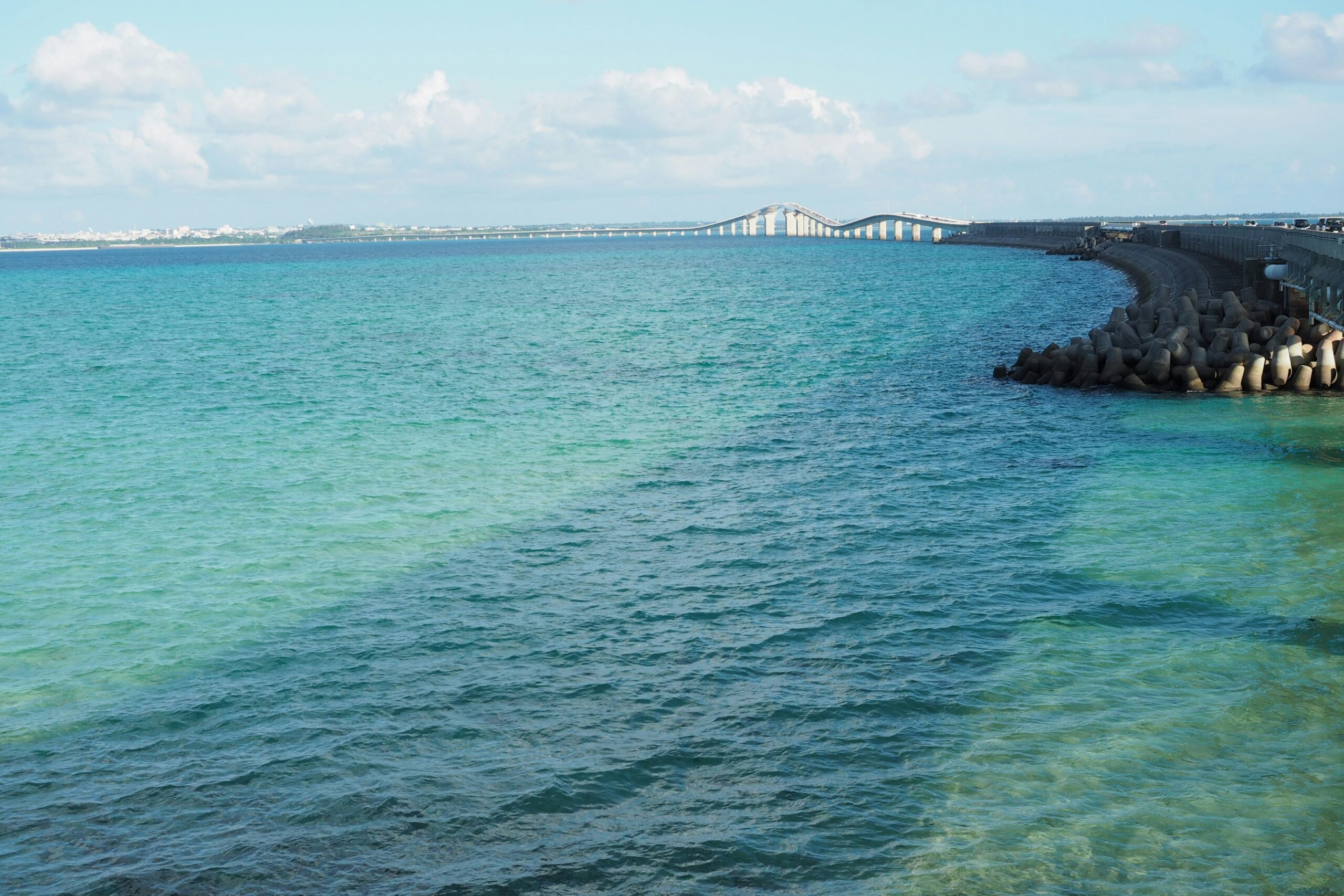
The relentless ebb and flow of Earth’s oceans have long been recognized as fundamental drivers of geological change. While human perception often focuses on the dynamic, immediate effects of waves and tides, the far more profound and lasting alterations to the planet’s crust and surface are sculpted over vast timescales by the gradual yet inexorable rise and fall of sea levels. These geological shifts, known as transgressions (sea-level rise) and regressions (sea-level fall), are not merely cosmetic changes to coastlines; they instigate a cascade of processes that reshape landscapes, influence sedimentation, alter rock formations, and even impact the lithosphere itself. Understanding the impact of sea level changes on geology is crucial for comprehending Earth’s history, predicting future geological phenomena, and managing the resources and risks associated with our coastal environments.
The most visible impact of sea level changes is the dramatic alteration of landforms. When sea levels rise, vast coastal plains and low-lying areas are inundated, transforming terrestrial environments into shallow marine or even deep ocean settings. Conversely, sea level fall exposes continental shelves, creating new land bridges, expanding coastlines, and revealing areas that were once submerged. These processes have profound implications for the depositional environments and the resulting geological strata.
Transgressional Sequences: The Stratigraphy of Rising Seas
During periods of sea level rise, the retreating shoreline leaves behind a distinct fingerprint in the geological record. As the sea advances inland, it transgresses over existing terrestrial sediments, such as fluvial (river) deposits or terrestrial soils. The incoming marine waters then begin to deposit their own sediments, typically starting with coarser, nearshore facies and gradually transitioning to finer-grained, offshore facies.
The Facies Succession of a Transgression
The hallmark of a transgressional sequence is the vertical stacking of facies. At the base, one often finds eroded terrestrial material or older nearshore deposits. Immediately above this lies a sand-dominated unit, representing the beach or shallow subtidal environment. As the transgression continues, this gives way to siltstones and mudstones, indicative of deeper, calmer waters further offshore. In some cases, if the transgression is significant and marine life flourishes, thick beds of fossiliferous limestones or marls can form in the deeper marine zones. The sedimentological evidence of a transgression is thus a fining-upward and deepening-upward trend in the stratigraphic column.
Examples in the Geological Record
Numerous examples of transgressional sequences are preserved in the geological record. The Western Interior Seaway, which flooded large portions of North America during the Cretaceous period, is a classic example. Its deposits, predominantly marine shales and sandstones, record a prolonged period of transgressing seas. Similarly, the formation of extensive deltas along ancient coastlines that were subsequently submerged by rising seas provide evidence of transgression. Even on a smaller scale, the inundation of river valleys by post-glacial sea level rise has created drowned river valleys, or rias, which are now often filled with marine sediments.
Regressional Sequences: The Stratigraphy of Falling Seas
Conversely, sea level fall leads to a regression, where the shoreline advances seaward and exposed landmasses expand. This process reverses the transgressional facies stacking. Terrestrial environments reclaim areas previously covered by the sea, and sediments characteristic of fluvial, deltaic, or coastal plain settings are deposited over marine sediments.
The Facies Succession of a Regression
The stratigraphic signature of a regressive sequence is a coarsening-upward and shallowing-upward trend. At the base, one might find offshore marine mudstones or shales. As the sea level falls, these are overlain by nearshore sandstones, followed by deltaic sandstones and siltstones, and finally, terrestrial deposits such as fluvial channel sands or overbank muds at the top. The process essentially strips away the finer offshore sediments and replaces them with coarser, nearshore and terrestrial ones.
Indicators of Regression
The presence of coal seams, formed from terrestrial swamp vegetation on coastal plains, is a strong indicator of regressive conditions, as these plains periodically expand seaward. Similarly, large-scale cross-bedded sandstones, indicative of ancient river channels or barrier island sands migrating seaward, are common in regressive sequences. The cyclical nature of these deposits, often observed in basins, reflects fluctuating sea levels that drive repeated transgressions and regressions.
Sea level changes have significant implications for geological processes and the understanding of Earth’s history. For an insightful exploration of how historical perspectives can inform our understanding of contemporary issues, you might find the article on ancient debt peonage systems particularly relevant. It highlights the interconnectedness of socio-economic factors and environmental changes, shedding light on how past societies adapted to shifting landscapes. You can read more about it here: Uncovering Ancient Debt Peonage Systems: A Historical Perspective.
Tectonic Influences and Sediment Transport
Sea level changes are not solely dictated by global climatic factors like ice melt; they are intrinsically linked to tectonic processes that influence the volume of ocean basins and the elevation of continental crust. Furthermore, the dynamics of sediment transport are profoundly altered by shifts in sea level, impacting the types and distribution of sediments deposited and eroded.
Eustatic vs. Isostatic Sea Level Changes
It is crucial to differentiate between eustatic and isostatic sea level changes. Eustatic changes refer to global fluctuations in sea level, primarily driven by variations in the volume of water in the oceans (e.g., during glacial periods when water is locked up in ice sheets) or changes in the shape and volume of ocean basins due to seafloor spreading rates. Isostatic changes, on the other hand, are local or regional sea level adjustments caused by the loading or unloading of the Earth’s crust.
Glacial Isostacy: The Rebound Effect
The most significant example of isostatic adjustment related to sea level is glacial isostacy. During past ice ages, massive ice sheets exerted immense pressure on the continental crust, causing it to depress. As these ice sheets melted, the crust began to rebound, a process that continues today. This rebound causes formerly submerged areas to emerge and coastal areas to experience relative sea level fall, while areas adjacent to the uplifted regions may experience relative sea level rise.
Tectonism and Basin Depth
Plate tectonics also plays a role in long-term sea level changes. Rifting and the creation of new oceanic crust can enlarge ocean basins, leading to global sea level fall as more water is accommodated. Conversely, periods of reduced seafloor spreading or the formation of oceanic plateaus can decrease ocean basin volume, driving sea level rise. Uplift or subsidence of continental margins due to tectonic forces also contributes to regional sea level variations, independent of global eustatic factors.
Sediment Supply and Dispersal Patterns
Changes in sea level dramatically alter the distances that sediment must travel from its source to its depositional sink. During sea level fall, rivers can extend their courses further across the newly exposed continental shelf, delivering sediment directly to the deep ocean or to a more distal shelf environment. This can lead to larger and thicker deltaic deposits. Conversely, during sea level rise, river mouths are pushed further inland, and sediment is trapped closer to the coast in estuaries and embayments, leading to less efficient transport to the deeper ocean.
The Role of the Continental Shelf
The continental shelf acts as a major reservoir and conveyor belt for sediment. During regression, the shelf is exposed, and sediments that were previously submerged are eroded and reworked, contributing to the regressive package. During transgression, the shelf is inundated, and sediment is transported across it in complex patterns influenced by currents and wave action. The morphology of the shelf itself, including its gradient and the presence of submarine canyons, significantly influences how sediment is dispersed under different sea level regimes.
Erosion, Deposition, and Coastal Geomorphology

The dynamic interaction between rising and falling sea levels with Earth’s solid surface leads to dramatic shifts in erosion and depositional patterns, fundamentally reshaping coastal geomorphology over geological time.
Wave Action and Coastal Erosion
The zone of interaction between the ocean and land is primarily shaped by wave action. When sea levels rise, waves can reach further inland, eroding cliffs, dunes, and coastal plains that were previously protected. This erosion supplies sediment that is then transported and deposited elsewhere along the coast, contributing to features like prograding barriers or spits. Conversely, falling sea levels expose new areas to wave energy, leading to the erosion of submerged features and the expansion of beaches and coastal barriers.
Submarine Landscapes Revealed
Significant sea level fall can reveal previously submerged landscapes. Ancient river valleys, glacial valleys, and even evidence of human habitation can be exposed on the newly emergent continental shelf. These emergent features are then subject to subaerial erosion (erosion by wind and rain), and their sediments can be incorporated into subsequent depositional sequences. The “Doggerland” in the North Sea, a now-submerged landmass that connected Britain to mainland Europe, is a testament to how significant sea level fall can create vast tracts of land that are eventually re-submerged.
Sediment Accumulation and Landform Development
The type and rate of sediment accumulation are directly influenced by sea level. During transgression, sediment may accumulate in estuaries and on coastal plains as the sea advances. As the sea deepens, fine-grained sediments may be deposited offshore, forming thick sequences of mud and silt. During regression, sediment supplied by rivers can build large deltas and coastal plains that prograde seaward. Barrier islands, spits, and sandbars are all landforms that are created, migrated, and sometimes submerged or eroded in response to changing sea levels.
The Importance of Accommodation Space
Accommodation space refers to the volume available for sediment to accumulate. Sea level rise creates more accommodation space, particularly in low-lying coastal areas and on continental shelves, facilitating sediment deposition. Conversely, sea level fall reduces accommodation space, potentially leading to increased erosion or thinner depositional sequences as sediment is transported further offshore or eroded.
Impact on Sedimentary Basins and Stratigraphy

Beyond immediate coastal geomorphology, sea level fluctuations have profound and long-lasting impacts on the architecture and fill of sedimentary basins, shaping the rock record for geological time.
Basin Subsidence and Sediment Compaction
Sedimentary basins are areas of crustal depression where thick successions of sediment accumulate. Sea level changes interact with basin subsidence in complex ways. As sediments accumulate, their weight can cause further subsidence (compaction). During periods of transgressing seas, significant sediment deposition can occur within basins, leading to substantial compaction. Conversely, during regressions, reduced sediment supply to a basin might mean that subsidence is primarily driven by deeper tectonic processes.
The Compaction Effect on Porosity and Permeability
The compaction of sediments due to the weight of overlying strata, a process directly influenced by the duration and magnitude of sediment deposition, directly affects the porosity (pore space) and permeability (ability of fluids to flow) of the rock. This has significant implications for the potential for hydrocarbon or groundwater reservoirs.
Intra-Basin Sediment Distribution
Within a sedimentary basin, sea level changes dictate where sediments are deposited and in what quantities. During a transgression, sediment may be eroded from higher ground and carried into the advancing sea, leading to deposition in a broader, more offshore setting. During a regression, sediment may be channeled further into the basin, potentially forming thick fluvial or deltaic wedges that prograde seaward. Understanding these patterns is crucial for reconstructing ancient depositional environments and for subsurface exploration.
Cycles of Deposition and Erosion Within Basins
Many sedimentary basins exhibit cyclic patterns of deposition and erosion, which are often directly linked to repeated sea level fluctuations. These cycles, known as sequences, can be identified through stratigraphic analysis and provide a remarkable record of Earth’s past environmental conditions. The presence of specific facies assemblages within these sequences allows geologists to infer whether a particular interval represents a period of sea level rise or fall.
Sea level changes have significant implications for geology, influencing coastal erosion, sediment deposition, and the formation of various landforms. Understanding these processes is crucial for assessing the impact of climate change on our planet. For a deeper insight into how ancient civilizations managed water resources in relation to geological changes, you can explore this fascinating article on ancient hydraulic engineering. This resource highlights the innovative techniques used by past societies to adapt to shifting water levels and their lasting impact on the landscape.
Influence on Lithosphere and Crustal Processes
| Time Period | Sea Level Change (meters) | Geological Impact |
|---|---|---|
| Pleistocene Epoch | -130 to +10 | Formation of glacial landforms and erosion |
| Holocene Epoch | -130 to +10 | Formation of coastal landforms and sediment deposition |
| Modern Era | 0 to present | Coastal erosion, saltwater intrusion, and impact on marine ecosystems |
The impact of sea level changes extends beyond the surface and shallow subsurface, influencing the deeper lithosphere and even contributing to long-term crustal processes.
Isostatic Rebound and Flexure
As discussed earlier, glacial loading and unloading lead to isostatic adjustments. However, these adjustments are not instantaneous. The sluggish nature of the Earth’s mantle means that as ice sheets melt, the underlying crust rebounds over thousands of years. This rebound can trigger seismic activity in previously glaciated regions. Furthermore, the immense weight of ice sheets causes the crust to bend or flex downwards. As the ice melts, this flexure slowly relaxes, leading to a reversal of the bending.
Long-Term Lithospheric Response
The lithosphere, the rigid outer shell of the Earth, is not inert. The massive redistribution of water and ice associated with glacial cycles and interglacial periods causes significant changes in surface load. This loading and unloading exert stresses on the lithosphere, influencing its deformation and potentially triggering earthquakes or volcanic activity in susceptible regions.
Sediment Loading and Erosion-Induced Uplift
The accumulation of thick sedimentary sequences in basins can exert a significant load on the underlying crust, contributing to further subsidence. Conversely, the erosion of large mountain ranges or extensive sedimentary deposits can reduce the load on the crust, leading to isostatic uplift. These processes, driven by the long-term interplay of tectonics, climate, and surface processes, are intrinsically linked to the history of sea level change.
The Isostatic Compensation Mechanism
The Earth’s lithosphere floats on a denser, more ductile asthenosphere. When a significant load is added to the lithosphere (e.g., by accumulating sediments or ice sheets), it sinks deeper into the asthenosphere for buoyant support. Conversely, when a load is removed (e.g., by erosion), the lithosphere rises to compensate. This isostatic compensation is a fundamental mechanism that shapes the Earth’s surface over geological timescales and is intimately connected to changes in sea level and the associated redistribution of mass.
In conclusion, the impact of sea level changes on geology is a multifaceted and profound phenomenon. From the visible reshaping of coastlines to the subtle, yet powerful, influences on the deeper lithosphere, these fluctuations are a constant force in Earth’s geological evolution. The stratigraphic record provides an invaluable archive of these changes, allowing us to reconstruct past environments, understand the dynamics of our planet, and better anticipate the geological consequences of future sea level alterations in a warming world. The interplay between rising and falling seas, coupled with tectonic forces, ensures that the geological landscape is perpetually in flux, a testament to the dynamic nature of our planet.

When the Mediterranean Became a Desert | The Messinian Salinity Crisis Explained
FAQs
What causes sea level changes?
Sea level changes can be caused by a variety of factors, including the melting of polar ice caps, thermal expansion of seawater due to climate change, tectonic activity, and changes in the Earth’s orbit and axial tilt.
How do sea level changes impact geology?
Sea level changes can have a significant impact on the geology of coastal areas. They can lead to erosion of coastlines, formation of new landforms such as barrier islands and deltas, and the deposition of sediments in coastal environments.
What evidence of past sea level changes can be found in the geological record?
Geological evidence of past sea level changes can be found in the form of ancient shorelines, coastal sediments, and fossilized marine organisms. These can provide valuable information about past sea level fluctuations and their impact on the Earth’s surface.
How do scientists study sea level changes in the geological record?
Scientists study sea level changes in the geological record by analyzing sedimentary rocks, fossils, and other geological features that provide clues about past sea levels. They also use techniques such as radiometric dating and isotope analysis to determine the timing and magnitude of past sea level fluctuations.
What are the potential future impacts of sea level changes on geology?
Potential future impacts of sea level changes on geology include increased coastal erosion, loss of land in low-lying areas, changes in coastal ecosystems, and the potential for increased flooding and storm surges in coastal regions. These impacts can have significant implications for human populations and infrastructure in coastal areas.