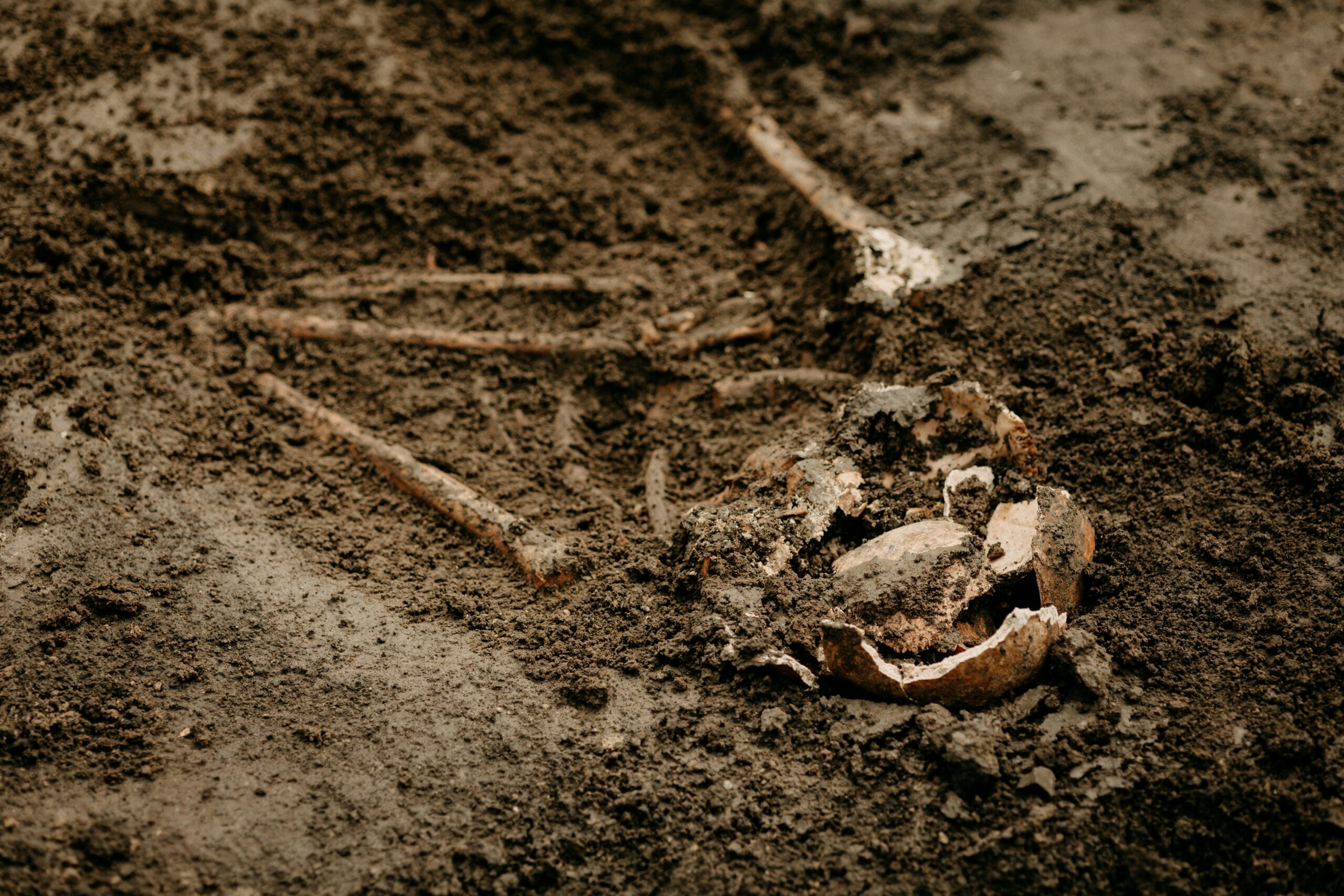
The earth holds secrets, not only of its own formation and the eons of geological processes that shaped its surface but also of the civilizations that once walked upon it. Archaeology and geology, though seemingly disparate disciplines, share a profound and intricate relationship – a symbiotic dance between understanding the bedrock of our planet and unearthing the remnants of human endeavor. This article delves into the ancient connection, exploring how the earth sciences provide the foundational context for archaeological discovery and how archaeological finds, in turn, can illuminate geological history.
The very existence of archaeological sites is intrinsically linked to geological processes. Landscapes are sculpted, buried, and preserved by the earth’s dynamic forces, creating the stages upon which human history has unfolded. Understanding these geological forces is paramount for archaeologists seeking to locate, excavate, and interpret ancient human activity.
The Art of Landscape Formation
Geological forces, from the slow, inexorable creep of glaciers to the dramatic upheaval of volcanoes, have fundamentally shaped the surfaces where humans built their homes, cultivated their fields, and waged their wars. Plate tectonics, the grandest geological spectacle, has dictated the distribution of continents and oceans, influencing migration routes and the accessibility of resources throughout human prehistory. Rivers, their courses carved over millennia, have acted as arteries of civilization, providing water, transportation, and fertile alluvial plains. These fluvial landscapes are often rich in archaeological remains, deposited and preserved by the very flow of water. The erosion and deposition cycles, driven by wind and water, constantly rework the land, sometimes revealing ancient artifacts that have lain hidden for centuries, and at other times burying sites under layers of sediment.
The Preservation Power of Geological Deposits
Sedimentary environments are the ultimate guardians of archaeological evidence. Fine-grained river silts, volcanic ash, glacial till, and desert sands can all act as protective blankets, shielding delicate organic materials like bone, wood, and textiles from decay. This geological preservation is the silent partner of archaeologists, allowing them to piece together narratives that would otherwise be lost to time. Understanding the stratigraphy of these deposits – the distinct layers of rock or soil that accumulate over time – is a fundamental archaeological technique. Each layer represents a distinct period, and the relative position of artifacts within these layers allows for chronological ordering. Geologists, through their study of sedimentation rates and depositional environments, can provide crucial context for this stratigraphic interpretation. For example, knowing the typical sedimentation rate of a particular river system can help archaeologists estimate the age of a buried horizon, even before direct dating methods are applied.
Identifying Promising Locations: A Geological Compass
Geologists can often guide archaeologists to promising sites by identifying landscapes that are conducive to both human settlement and the preservation of evidence. Areas with reliable water sources, fertile soils, and natural shelter are naturally attractive to human populations. Geologists can help identify these areas by studying patterns of groundwater, soil composition, and topography. For instance, the presence of volcanic ash can indicate fertile soil, a draw for agricultural communities. Similarly, cave systems, formed by karst processes, provide natural shelters that have been utilized by humans from the Paleolithic era onwards. Modern geological surveys, using techniques like remote sensing and ground-penetrating radar, can also help detect subsurface anomalies that might indicate buried structures or features, significantly narrowing the search area for archaeologists and reducing the cost and effort of exploration.
In exploring the fascinating intersection of archaeology and geology, one can gain insights into how ancient civilizations interacted with their environments. A related article that delves into the importance of understanding geological formations in archaeological studies can be found at this link. This piece highlights how the geological context can influence the preservation of artifacts and the interpretation of historical sites, showcasing the critical role that both fields play in uncovering the past.
Dating the Past: The Geological Chronometers
One of the most critical aspects of archaeology is establishing a timeline for human activity. While excavation can reveal the sequence of events, precise dating often relies on the geological context of the discoveries. Geological chronometers, both absolute and relative, are indispensable tools for archaeologists.
Radiometric Dating: The Unseen Clockwork
Radiometric dating techniques, which measure the decay of radioactive isotopes, are perhaps the most powerful geological tools in the archaeologist’s arsenal. These methods, honed by geologists, allow for the absolute dating of materials that were once alive or were formed by geological processes.
Radiocarbon Dating (¹⁴C): A Benchmark for Recent Times
Radiocarbon dating, while technically a geochronological technique when applied to organic materials, is a cornerstone of archaeological dating for the last 50,000 years. The decay of carbon-14, a naturally occurring isotope, in organic remains like bone, charcoal, or wood, provides a quantitative age estimate. Understanding the atmospheric concentration of ¹⁴C over time, and the mechanisms of its incorporation into living organisms, is a complex geological and atmospheric science challenge, but its application in archaeology has revolutionized our understanding of human history. Geologists often assist in collecting and preparing samples, ensuring they are free from contamination that could skew the results. They also help interpret the uncertainties associated with the dating, providing a robust scientific framework for chronological frameworks.
Potassium-Argon (K-Ar) and Argon-Argon (⁴⁰Ar/³⁹Ar) Dating: For Deeper Time
For much older archaeological contexts, particularly those involving volcanic activity, potassium-argon and its more refined argon-argon dating methods become invaluable. These techniques date the crystallization of igneous rocks, such as volcanic ash layers that might have entombed ancient hominin sites. The long half-lives of potassium-40 mean these methods can date materials millions or even billions of years old, pushing the boundaries of what we can date and providing crucial insights into the deep chronology of human evolution. Archaeological sites in East Africa, famously associated with early hominins, have been precisely dated using these volcanic chronometers, allowing for the reconstruction of migration patterns and evolutionary timelines.
Paleomagnetism: A Global Compass Frozen in Time
The Earth’s magnetic field is not constant; it flips its polarity periodically, and its intensity fluctuates. Rocks can become magnetized in the direction of the Earth’s magnetic field at the time they form. This phenomenon, known as paleomagnetism, provides another powerful dating tool. By analyzing the magnetic orientation of artifacts or sediment layers, archaeologists can correlate them with known paleomagnetic secular variation curves, effectively dating them relative to established geomagnetic events. This is particularly useful for dating sites where radiometric dating is not feasible or when attempting to cross-date findings from different regions.
Stratigraphy and Relative Dating: The Geological Ladder
While absolute dating provides precise numerical ages, stratigraphy offers a fundamental framework for relative dating. The principle of superposition, a cornerstone of geology, states that in undisturbed sedimentary layers, the oldest layers are at the bottom and the youngest are at the top. Archaeologists meticulously record the order in which artifacts are found within these layers, allowing for a chronological ordering of human activity. Geologists contribute by helping to identify unconformities (gaps in the geological record), to understand the processes of deposition and erosion that might disturb stratigraphy, and to interpret the formation of the layers themselves, thus enhancing the reliability of archaeological interpretations.
Reconstructing Ancient Environments: The Geological Palimpsest
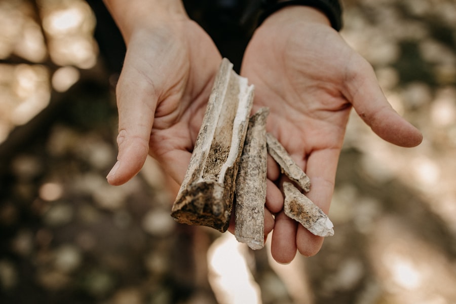
The environmental conditions under which ancient peoples lived profoundly influenced their lifestyles, diets, technologies, and social structures. Geology plays a vital role in reconstructing these past environments, providing a backdrop against which archaeological evidence can be better understood.
Paleoenvironmental Reconstruction: Reading the Earth’s Archives
Geological formations provide a rich archive of past environmental conditions. Examining the types of sediments present, the fossil content, and the geomorphological features can reveal information about past climates, vegetation, and water availability.
Palynology: The Whispers of Pollen
The study of pollen grains, or palynology, is a crucial tool for reconstructing past vegetation and, by extension, past climates. Pollen grains are remarkably well-preserved in sediments, and their types can be identified with great accuracy. By analyzing pollen assemblages from archaeological contexts, scientists can determine the types of plants that were present in an area at a given time, indicating whether it was a forest, grassland, or shrubland, and inferring past climatic conditions such as temperature and rainfall. Geologists often extract sediment cores from lake bottoms or bogs, which are ideal environments for pollen preservation, and provide these cores to palynologists.
Diatom Analysis: Aquatic Ecosystems Revealed
Similar to pollen, diatoms are microscopic algae with characteristic silica shells that are preserved in aquatic sediments. Analyzing diatom assemblages can reveal information about water salinity, pH, and nutrient levels, providing insights into past aquatic ecosystems and their changes over time. This can be particularly important for understanding the availability of freshwater resources for ancient settlements.
Lithology and Sedimentology: The Foundation of the Landscape
The study of the physical characteristics of rocks and sediments (lithology and sedimentology) can reveal a great deal about depositional environments. For example, the presence of rounded pebbles might indicate a riverbed, while fine clays could suggest a lake or marine environment. Analyzing sedimentary structures like cross-bedding or ripple marks can provide information about the energy of the depositional environment, helping to reconstruct past river dynamics, wind patterns, or coastal processes. This geological understanding is essential for archaeologists trying to understand how ancient people interacted with their varied landscapes.
Understanding Resource Availability: The Geological Bounty
The availability of natural resources, driven by geological factors, has always been a primary determinant of human settlement and cultural development. Geology allows archaeologists to understand the distribution and accessibility of these crucial resources.
Mineral Resources: From Flint to Metals
The presence of specific minerals and rock types has shaped human technology and trade. The quest for flint, a hard, brittle stone ideal for toolmaking, led to the establishment of early trade networks. The discovery and exploitation of metals like copper, tin, and iron revolutionized human societies, ushering in the Bronze and Iron Ages. Geological surveys can identify deposits of these materials, helping archaeologists understand the origins of raw materials found at ancient sites and reconstruct ancient trade routes and economic systems. The study of ore bodies, their geological context, and the chemical composition of ore can be crucial for tracing the provenance of metal artifacts.
Water Resources: The Lifeblood of Civilization
Access to reliable water sources has been a defining factor in human history. Geological understanding of aquifer systems, groundwater flow, and the formation of natural springs is critical for understanding why ancient settlements emerged where they did. Examining evidence of ancient irrigation systems or water management techniques, often found in conjunction with hydrological studies, provides a deeper understanding of how past societies adapted to their water resources. Sedimentary analysis can reveal evidence of ancient river channels or floodplains, indicating past water availability.
The Earth as a Witness to Human Impact
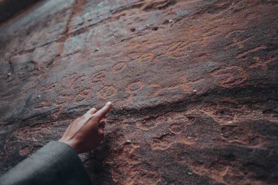
As humans have shaped the planet, so too has their impact left its mark on the geological record. The study of human-induced geological changes can provide unique insights into the scale and nature of past human activities.
Anthropogenic Deposits: The Layers of Human Endeavor
Human activities, from quarrying and construction to waste disposal, create distinct geological deposits that differ from natural formations. These anthropogenic deposits, or “technofossils,” can include mounds of refuse (middens), quarry scars, slag heaps from metal smelting, and even brick rubble. Geologists can analyze the composition, structure, and stratigraphy of these deposits to understand the types of activities that took place, their scale, and their duration. For instance, the analysis of chemical residues in ancient pottery shards or slag can reveal information about cooking practices or the smelting processes employed.
Landscape Modification: Engineered Environments
Humans have actively modified landscapes for millennia, creating terraces for agriculture, levying rivers, and building canals. These modifications are geological interventions that can be studied through geomorphological analysis. Geologists can map these features, understand the engineering principles involved, and assess their impact on the surrounding environment. Understanding how ancient societies managed their landscapes provides crucial context for their subsistence strategies and their relationship with the natural world.
The Long-Term Geological Consequences of Human Action
Some human impacts on the Earth have profound and long-lasting geological consequences. Deforestation, for example, can lead to increased erosion and sedimentation. The construction of large dams can alter river flow and sediment transport downstream. While these effects are often studied in a modern context, archaeological evidence can reveal instances of these processes occurring in the distant past. The study of sedimentary cores from deltas or estuaries, for example, can reveal changes in sedimentation rates that correlate with periods of intense human activity and land use in the upstream catchments, indicating early stages of environmental degradation caused by human action.
Recent discoveries in archaeology and geology have shed light on the ancient civilizations that once thrived in regions now known for their rich natural resources. These findings not only enhance our understanding of historical human activity but also provide insights into how these societies interacted with their environment. For a deeper exploration of how modern economic factors, such as foreign direct investment, can influence archaeological sites and geological studies, you can read more in this article on Mexico’s foreign direct investment surging to record levels at this link.
Collaborative Futures: Interdisciplinary Synergy
| Category | Archaeology | Geology |
|---|---|---|
| Age Dating | Carbon-14 dating | Radioisotope dating |
| Excavation Techniques | Stratigraphy | Core drilling |
| Artifact Analysis | Ceramic analysis | Mineral identification |
| Site Formation Processes | Taphonomy | Sedimentation |
The effective practice of both archaeology and geology increasingly demands a collaborative approach. The challenges of understanding our past and our planet are too complex for any single discipline to tackle alone.
Shared Methodologies and Technological Advancements
Advancements in geological survey techniques, such as LiDAR (Light Detection and Ranging) and GPR (Ground-Penetrating Radar), are revolutionizing archaeological exploration by allowing for non-destructive mapping of subsurface features. Similarly, geological dating techniques are becoming more accessible and sophisticated, providing increasingly precise chronologies for archaeological research. The development of GIS (Geographic Information Systems) allows for the integration of geological and archaeological data, creating powerful analytical tools for spatial understanding.
Integrated Research Projects: Unlocking Deeper Narratives
Many of the most significant archaeological discoveries of recent decades have emerged from interdisciplinary research projects. Teams of archaeologists, geologists, geomorphologists, soil scientists, and other specialists work together to reconstruct past landscapes, understand human-environment interactions, and establish robust chronologies. These integrated approaches allow for a more holistic and nuanced understanding of the past, moving beyond mere artifact recovery to comprehensive interpretations of human lifeways and their ecological context. For example, a project investigating an ancient agricultural society might involve archaeologists studying settlement patterns and tools, geologists analyzing soil composition and depositional environments, and paleobotanists reconstructing past crop cultivation and vegetation.
Public Outreach and Education: Sharing the Ancient Connection
The fascinating interplay between archaeology and geology offers immense potential for public outreach and education. Showcasing the ways in which the study of the earth reveals our human past can spark curiosity and foster a greater appreciation for both scientific disciplines. Museums, educational programs, and popular publications that highlight these connections can inspire future generations of scientists and the public alike, fostering a deeper understanding of our planet and our place within its long and complex history. By demonstrating how the very ground beneath our feet holds the echoes of ancient lives and landscapes, this interdisciplinary synergy offers a compelling narrative of our shared heritage. The ancient connection between archaeology and geology is not merely a subject of academic inquiry; it is a fundamental pathway to understanding ourselves and the dynamic planet we inhabit.

How Volcanic Glass Solved a 10,000-Year-Old Mystery
FAQs
What is the relationship between archaeology and geology?
Archaeology and geology are closely related fields, as geology provides important context for understanding the archaeological record. Geology helps archaeologists understand the formation and preservation of sites, the distribution of resources, and the impact of natural processes on human activities.
How does geology contribute to archaeological research?
Geology contributes to archaeological research by providing information about the geological processes that have shaped the landscape over time. This includes the formation of soil, the deposition of sediments, and the movement of water, which all impact the preservation and distribution of archaeological sites and artifacts.
What methods do archaeologists and geologists use to study ancient landscapes?
Archaeologists and geologists use a variety of methods to study ancient landscapes, including remote sensing techniques such as LiDAR and ground-penetrating radar, as well as traditional field surveys and excavations. These methods help researchers identify and map archaeological sites and understand the geological context in which they are located.
How does geology help in dating archaeological sites?
Geology helps in dating archaeological sites by providing information about the age of the geological layers in which artifacts are found. This can be done through techniques such as stratigraphy, which involves analyzing the sequence of layers in a site, and radiocarbon dating, which uses the decay of radioactive carbon isotopes to determine the age of organic materials.
What are some examples of how geology has influenced human history?
Geology has influenced human history in numerous ways, such as by providing important natural resources like metals, minerals, and building materials. Geological events, such as volcanic eruptions and earthquakes, have also had significant impacts on human societies throughout history. Additionally, the study of ancient landscapes and geological formations has helped researchers understand the movements and migrations of ancient human populations.