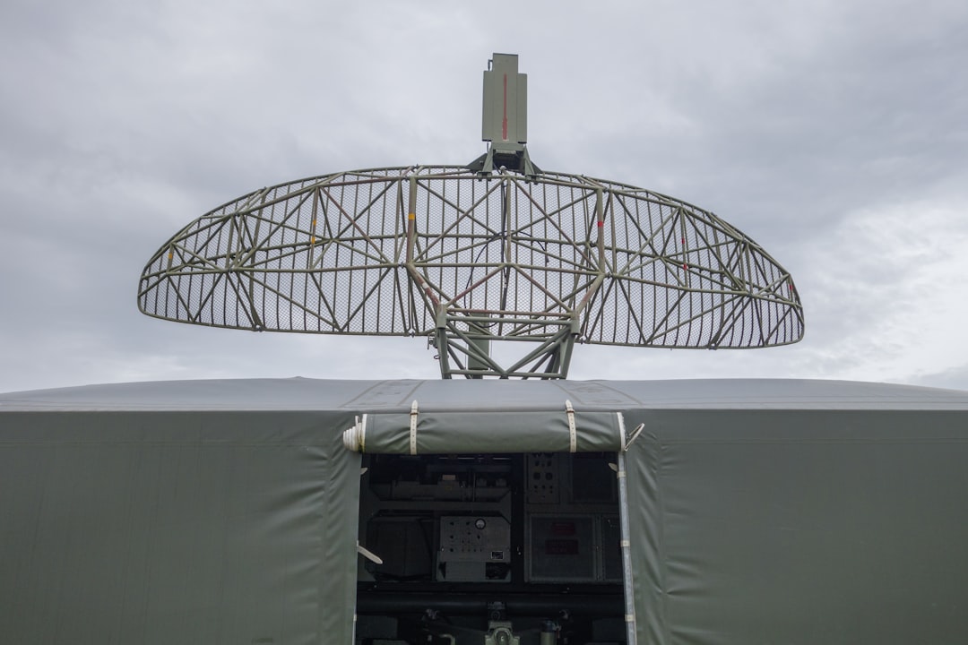
The year 2024 marks a significant milestone in our ongoing exploration of Earth’s most remote and enigmatic regions, particularly the vast, icy expanse of the Arctic. At the forefront of this renewed scientific endeavor is the NASA Camp Century Radar, a sophisticated instrument poised to unlock secrets buried beneath millennia of ice. This article delves into the multifaceted mission, its technological prowess, the scientific questions it aims to answer, and the profound implications of its findings for our understanding of Earth’s past, present, and future.
The story of NASA’s involvement in Arctic research is a long and distinguished one. Decades of scientific inquiry have revealed the Arctic as a critical bellwether for global climate change, a region undergoing rapid transformations with far-reaching consequences. Camp Century, a former U.S. Army base established in 1959 deep within the Greenland ice sheet, was initially conceived for strategic military purposes. However, its unique location and the innovative infrastructure developed there soon attracted scientific interest. The base’s most remarkable feature was its subterranean network of tunnels and facilities, carved directly into the ice, offering a stable and protected environment for research.
The Strategic Origins of a Scientific Outpost
The Cold War era spurred significant investment in Arctic infrastructure and research. Camp Century, officially known as Project Iceworm, was envisioned as a way to test the feasibility of constructing and maintaining a military base beneath the ice. While the military objectives were eventually scaled back, the scientific potential of this unprecedented underground laboratory became increasingly apparent. The sheer scale of the ice sheet, its dynamic nature, and its influence on global weather patterns made it an irresistible subject for scientific study.
Early Scientific Expeditions and Their Revelations
Even in its early years, Camp Century hosted scientists who conducted groundbreaking research. Core samples extracted from the ice provided invaluable insights into past climatic conditions, revealing evidence of ancient forests and warmer periods that predated current global warming. These early findings, though limited by the technology of the time, laid the foundation for future, more comprehensive investigations into paleoclimatology and ice sheet dynamics. The sheer existence of a research facility of this magnitude, buried within the ice, was a testament to human ingenuity and the growing recognition of the Arctic’s scientific importance.
In 2024, NASA’s Camp Century radar project is set to play a crucial role in advancing our understanding of ice sheet dynamics and climate change. This initiative aligns with broader efforts in space exploration and technology, as highlighted in a related article discussing the United States Space Force’s lunar strategy. For more insights on how these developments are interconnected, you can read the article here: United States Space Forces Lunar Strategy.
The Dawn of a New Era: Revitalizing Arctic Exploration in 2024
The NASA Camp Century Radar represents a significant leap forward in our ability to probe the Arctic’s subsurface. Building upon the legacy of its namesake, this modern initiative leverages cutting-edge radar technology to achieve unprecedented levels of detail and depth in its investigations. The project is not merely a continuation of past efforts but a bold new chapter, driven by contemporary scientific questions and fueled by advancements in remote sensing and data analysis.
Technological Advancements Driving the Mission
The core of this renewed exploration lies in the sophisticated radar system. Unlike previous methods, which provided limited resolution or penetration, the Camp Century Radar utilizes advanced techniques such as ground-penetrating radar (GPR) and synthetic aperture radar (SAR) with enhanced capabilities. These technologies allow scientists to “see” through the ice, mapping its internal structure, identifying buried ice features, and even detecting geological formations beneath the ice sheet. The ability to generate high-resolution 3D imagery of the subsurface is a game-changer for understanding the complex processes occurring within and beneath the ice.
The Strategic Importance of the Arctic in a Changing Climate
The Arctic’s rapid warming is a stark reality, with temperatures rising at more than twice the global average. This warming has profound implications, including rising sea levels, altered weather patterns, and impacts on Arctic ecosystems and indigenous communities. NASA’s renewed focus on Camp Century underscores the critical need for a deeper understanding of these changes and their global repercussions. The radar’s ability to map the ice sheet’s thickness, flow, and subglacial conditions provides crucial data for refining climate models and predicting future sea-level rise with greater accuracy.
Unlocking the Secrets Beneath the Ice: The Scientific Objectives of the Radar
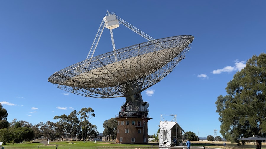
The NASA Camp Century Radar is designed to address a spectrum of critical scientific questions, ranging from the fundamental mechanics of ice sheet behavior to the potential presence of past life and resources. The data collected promises to revolutionize our understanding of the Arctic’s dynamic environment.
Mapping Ice Sheet Dynamics and Subglacial Hydrology
One of the primary objectives is to create a detailed, three-dimensional map of the Greenland ice sheet’s internal structure and its base. This includes identifying the thickness of the ice, its flow patterns, and the presence of any meltwater or subglacial lakes. Understanding the hydrological system beneath the ice is paramount, as it plays a significant role in the ice sheet’s stability and its contribution to sea-level rise. The radar can detect channels, conduits, and cavities, providing insights into how water flows and lubricates the base of the ice, influencing its movement towards the ocean.
The Role of Subglacial Water in Ice Sheet Stability
Subglacial water is a critical, yet often poorly understood, factor in ice sheet dynamics. It can reduce friction between the ice and the bedrock, allowing the ice to flow faster towards the sea. The NASA Camp Century Radar aims to precisely map the extent and distribution of this water, which is crucial for improving predictions of future ice loss. By identifying areas where meltwater accumulates or channels efficiently, scientists can better assess the vulnerability of different parts of the ice sheet to accelerated melting and calving.
Identifying Ancient Ice Formations and Their Climatic Archives
Within the ice sheet lie vast archives of past climate information. The radar can help identify and map ancient ice layers, some dating back tens of thousands of years. These layers contain trapped air bubbles and isotopic signatures that record atmospheric composition, temperature, and precipitation patterns of bygone eras. By analyzing these deep ice formations, scientists can reconstruct past climate variability with unprecedented detail, providing valuable context for understanding current climate change.
Searching for Subglacial Life and Geologic Features
Beyond its climatic significance, the Arctic’s icy depths may hold clues to the existence of life and hidden geological formations. The radar’s advanced capabilities could potentially detect anomalies that suggest the presence of subglacial lakes or even porous rock formations that could support microbial life. Furthermore, the radar can map bedrock topography beneath the ice, revealing ancient river valleys, mountain ranges, and fault lines that were shaped long before the ice sheet formed. This information is invaluable for understanding the geological history of the region.
The Potential for Discovering Extant or Extinct Life in Extreme Environments
The discovery of life in extreme environments, such as deep-sea hydrothermal vents, has broadened our understanding of where life can exist. Subglacial environments, with their low temperatures, high pressure, and limited nutrient availability, present a unique set of challenges. The NASA Camp Century Radar, by mapping potential subglacial habitats like lakes and water-filled cavities, provides crucial targets for future biological sampling missions. The potential discovery of extant or even fossilized life forms in these isolated environments would have profound implications for astrobiology and the search for life beyond Earth.
Illuminating the Geologic History of the Arctic Continent
The Greenland ice sheet covers a vast area of land with a complex geological history. The radar’s ability to penetrate the ice and map the underlying bedrock allows scientists to reconstruct the topography and geological structures that existed before glaciation. This can reveal ancient mountain ranges, volcanic activity, and tectonic features that have shaped the Arctic region over millions of years. Understanding this geological foundation is essential for comprehending the region’s mineral resources and its role in Earth’s tectonic evolution.
The Implications of Camp Century Radar Findings
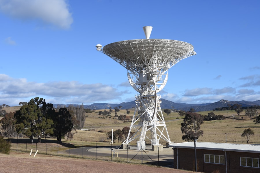
The data gathered by the NASA Camp Century Radar will have far-reaching implications across various scientific disciplines and for global policy decisions. The insights gained will contribute to a more comprehensive understanding of Earth’s climate system and its future trajectory.
Enhancing Climate Models and Predicting Sea-Level Rise
Accurate predictions of future sea-level rise are crucial for coastal communities worldwide. The detailed data on ice sheet thickness, flow, and subglacial hydrology provided by the radar will significantly improve the accuracy of climate models. By better understanding how the Greenland ice sheet is responding to warming temperatures, scientists can refine projections of its contribution to global sea-level rise, enabling better planning for adaptation and mitigation strategies.
The Crucial Link Between Ice Sheet Melt and Global Sea Levels
The melting of polar ice sheets is a primary driver of global sea-level rise. The Greenland ice sheet alone holds enough ice to raise global sea levels by approximately seven meters. Understanding the rate at which this ice is melting and the factors that influence this process is therefore of paramount importance. The Camp Century Radar’s comprehensive mapping of the ice sheet’s internal structure and dynamics will provide the critical data needed to quantify melt rates and project future contributions to sea-level rise with greater confidence.
Assessing the Impact of Arctic Warming on Global Weather Patterns
The Arctic acts as a crucial regulator of global weather patterns. Changes in the Arctic, such as the reduction in sea ice and warming temperatures, can have cascading effects on atmospheric circulation and weather systems in lower latitudes. The data from Camp Century, by providing a deeper understanding of ice sheet dynamics, can contribute to improved forecasting of these global weather impacts.
Informing Resource Management and Arctic Policy
The potential for discovering mineral resources beneath the Arctic ice, coupled with the region’s growing geopolitical significance, makes the Camp Century Radar’s findings relevant to resource management and policy development. While scientific exploration is the primary focus, the detailed mapping of subsurface geology can indirectly inform future assessments of resource potential. Moreover, a clearer understanding of the Arctic’s environmental sensitivity and the impacts of climate change will be vital for informed policy decisions regarding sustainable development and environmental protection in the region.
The Growing Geopolitical Significance of the Arctic Region
As sea ice diminishes, new shipping routes and access to previously inaccessible resources are emerging in the Arctic. This has led to increased geopolitical interest and competition among Arctic nations. The scientific understanding gained from projects like the Camp Century Radar can inform international discussions and agreements regarding the governance and sustainable management of this rapidly changing region.
The Importance of Scientific Data for Sustainable Arctic Development
Any future development in the Arctic must be undertaken with a thorough understanding of the region’s delicate ecosystems and the impacts of climate change. The comprehensive data provided by the Camp Century Radar will be invaluable for assessing the environmental risks associated with potential resource extraction or infrastructure development, ensuring that any such activities are conducted sustainably and with minimal environmental impact.
In 2024, NASA’s Camp Century radar project is set to make significant advancements in understanding climate change and ice sheet dynamics. This initiative is crucial for monitoring the effects of global warming on polar regions. For those interested in the intersection of technology and environmental science, a related article discusses the importance of skilled engineering talent in various fields, including aerospace and environmental engineering. You can read more about this topic in the article on Mexico’s skilled engineering talent.
Challenges and Future Prospects of Arctic Exploration
| Metrics | Value |
|---|---|
| Location | Greenland |
| Radar Installation | Camp Century |
| Year | 2024 |
| Purpose | Monitoring ice sheet changes |
Despite the technological advancements, exploring the Arctic presents inherent challenges. The harsh environment, remoteness, and the vastness of the ice sheet demand innovative solutions and sustained commitment. The success of the NASA Camp Century Radar initiative will pave the way for future, even more ambitious Arctic exploration endeavors.
Navigating the Extreme Arctic Environment
The Arctic is characterized by extreme cold, high winds, limited daylight hours during winter, and the constant presence of ice. These conditions pose significant logistical and operational challenges for scientific missions. The NASA Camp Century Radar, while deployed from a stable base, requires robust engineering and careful planning to ensure its continued operation and data acquisition in such a demanding environment.
The Logistical Complexities of Remote Operations
Deploying and maintaining sophisticated scientific equipment in remote Arctic locations requires meticulous logistical planning. This includes coordinating transportation, ensuring power supply, communication links, and the safety of personnel. The success of the Camp Century Radar mission hinges on the efficient management of these complex logistical operations.
The Importance of International Collaboration in Arctic Research
The Arctic is a shared global resource, and its challenges transcend national borders. International collaboration is essential for pooling resources, sharing expertise, and developing comprehensive strategies for Arctic research and conservation. The NASA Camp Century Radar initiative, while led by NASA, benefits from and contributes to a broader international effort to understand this critical region.
The Long-Term Vision for Arctic Scientific Endeavors
The NASA Camp Century Radar is not an isolated project but part of a long-term vision for Arctic scientific exploration. The data collected will serve as a foundation for future research, guiding the development of new technologies and scientific questions. The prospect of further exploring the deep ice, understanding the subglacial landscape, and potentially discovering evidence of past life continues to drive innovation and inspire future generations of Arctic scientists. The ongoing evolution of radar technology promises even greater penetration and resolution, opening up new frontiers for discovery beneath the ice.
The Potential for Future Subglacial Exploration Missions
The insights gained from the Camp Century Radar will undoubtedly fuel the ambition for future, more direct subglacial exploration. This could involve deploying autonomous underwater vehicles (AUVs) into subglacial lakes or even developing specialized drilling technologies to access deep ice cores and subglacial sediments. The radar’s mapping capabilities will be essential for identifying the most promising targets for these future missions.
The Ongoing Evolution of Radar Technology and its Arctic Applications
Radar technology is continuously advancing, offering ever-increasing resolution, penetration depth, and data processing capabilities. The Camp Century Radar represents the current state-of-the-art, but future iterations will likely push the boundaries even further, enabling scientists to “see” even deeper and with greater clarity into the Arctic’s frozen heart. This ongoing technological evolution promises to unlock even more profound secrets of this vital region.
The NASA Camp Century Radar project in 2024 represents a pivotal moment in our quest to understand the Arctic. By peering beneath the ice, scientists are not only unraveling the secrets of Earth’s past climate but are also gaining critical insights into the forces shaping our planet’s future. The dedication to this ambitious endeavor underscores humanity’s enduring drive for knowledge and our commitment to safeguarding the delicate balance of our global environment.
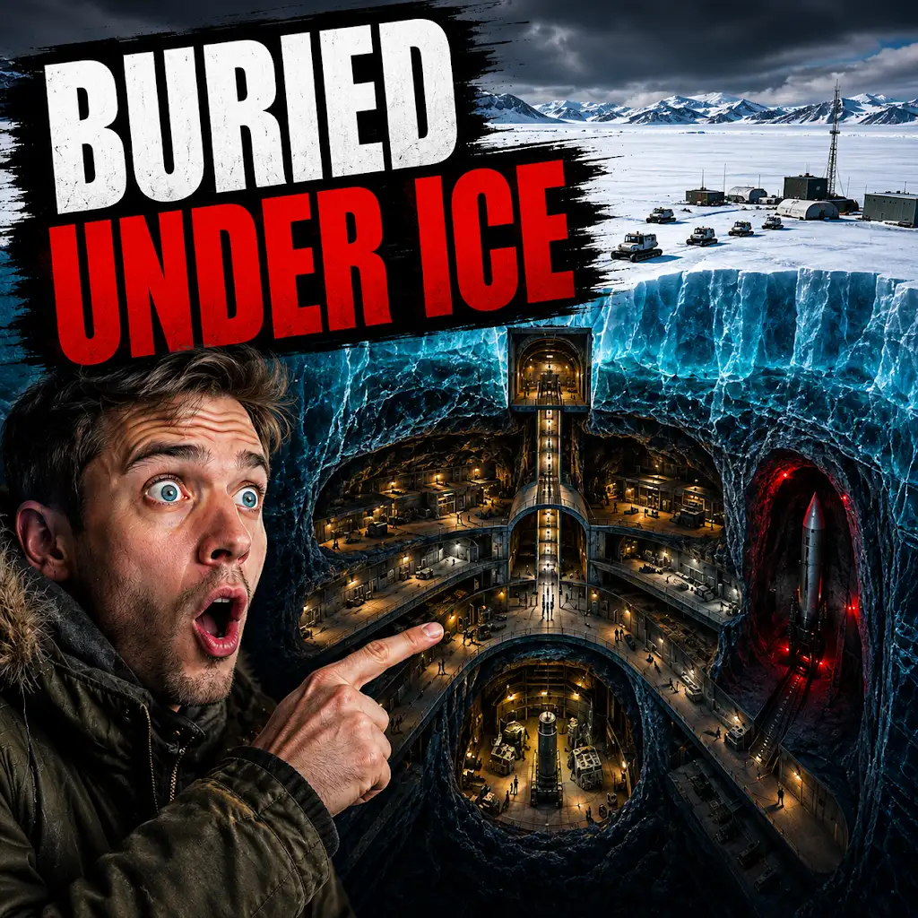
The U.S. Built a Nuclear City Under Greenland. The Ice Won.
FAQs
What is NASA Camp Century radar 2024?
NASA Camp Century radar 2024 is a radar system developed by NASA to study ice sheets and glaciers in Greenland. It is designed to provide detailed information about the structure and movement of ice in the region.
How does the NASA Camp Century radar 2024 work?
The radar system uses advanced technology to penetrate the ice and gather data about its thickness, density, and internal structure. It operates from aircraft flying over the ice sheets, sending and receiving signals that provide valuable insights into the dynamics of the ice.
What are the goals of the NASA Camp Century radar 2024 mission?
The primary goal of the mission is to improve our understanding of how ice sheets and glaciers in Greenland are responding to climate change. By studying the ice in detail, scientists hope to gain insights into the potential impact of melting ice on sea level rise.
How will the data collected by the NASA Camp Century radar 2024 be used?
The data collected by the radar system will be used to create detailed maps of the ice sheets and glaciers in Greenland. This information will help scientists and policymakers make more accurate predictions about future sea level rise and develop strategies to mitigate its impact.
When is the NASA Camp Century radar 2024 mission scheduled to take place?
The mission is scheduled to take place in 2024, with NASA planning to deploy the radar system to gather crucial data about the state of the ice in Greenland.