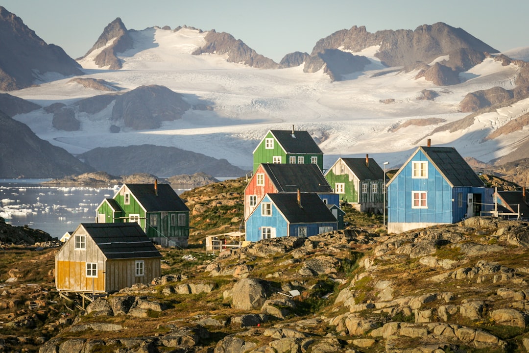
The stark, icy expanse of Greenland has long held secrets beneath its frozen veneer. Among these hidden histories lies Camp Century, a Cold War-era U.S. Army base established in 1959. Ostensibly a research station, the camp harbored a clandestine and ultimately abandoned plan: Project Iceworm, an ambitious but never realized scheme to construct a network of nuclear missile launch tunnels beneath the ice sheet, capable of striking the Soviet Union. For decades, Camp Century has been a ghost town, slowly being consumed by glacial movement. However, 2024 marks a significant moment in its unveiling, as advanced radar imaging techniques have penetrated the ice with unprecedented clarity, offering a new perspective on this forgotten relic of the Cold War.
The Genesis of Camp Century: A Cold War Anomaly
The establishment of Camp Century was a product of the intense geopolitical climate of the Cold War. The United States, locked in a strategic arms race with the Soviet Union, sought innovative and hidden methods to project its military power. Greenland, with its vast, uninhabited ice sheet and strategic location, presented an intriguing, albeit challenging, canvas for such ambitions.
The Strategic Imperative
The overarching objective behind Camp Century’s creation was rooted in the strategic thinking of the era. The notion of placing nuclear missiles within the Greenland ice sheet was born from a desire for a secure, mobile, and difficult-to-detect launch platform. The ice, in theory, would provide a natural shield against Soviet reconnaissance and potential attacks, while the sheer scale of the ice sheet offered vast potential for expansion.
The “Davy Crockett” Concept
While Project Iceworm was the most ambitious and secretive aspect of Camp Century, the base itself was presented to the world as a hub for scientific research. This dual-purpose facade served to mask its true military potential. Researchers were encouraged to study glaciology, atmospheric science, and even drilling techniques, all of which contributed to the understanding of the ice sheet – knowledge that could, in turn, inform military operations.
A City Under the Ice
Camp Century was an engineering marvel for its time. It was designed to be a self-sustaining city built entirely within tunnels excavated in the ice. Power was generated by a small nuclear reactor, and a complex network of tunnels housed living quarters, laboratories, and even a chapel. The sheer audacity of building a permanent base in such an extreme environment speaks volumes about the resources and determination poured into the project.
The Illusion of Science
The scientific endeavors at Camp Century were not entirely fabricated. Significant research was conducted, contributing valuable data to our understanding of ice dynamics and polar environments. However, the military applications of this research were never far from the minds of its planners. The ability to drill deep into the ice and to withstand extreme cold and pressure were skills directly transferable to military objectives.
Recent advancements in radar imaging technology have shed light on Camp Century in Greenland, revealing insights into the region’s ice cover and its implications for climate change. For a deeper understanding of how such technological developments intersect with global dynamics, you can explore the article on the US-China space rivalry, which discusses the competitive landscape of space exploration and its impact on scientific research. To read more, visit this article.
Project Iceworm: The Subterranean Shadow
While the surface facilities of Camp Century were visible, the true strategic significance lay beneath. Project Iceworm, the brainchild of U.S. Army Corps of Engineers, envisioned a vast network of tunnels, extending for hundreds of miles, capable of housing and launching nuclear missiles. This was a strategic gamble, a testament to the lengths to which the superpowers would go in their pursuit of military dominance.
The Scale of Ambition
The sheer scale of Project Iceworm was staggering. The plan was to excavate a labyrinth of ice tunnels, each capable of housing missile launchers and their support infrastructure. The ice would act as a natural insulator and a difficult-to-penetrate barrier, making it incredibly challenging for the Soviets to locate or target the missile sites.
Tunneling Through Time
The construction of these tunnels was a monumental undertaking. Specialized drilling equipment was developed to bore through the solid ice, creating stable pathways for the proposed missile infrastructure. The idea was to create a mobile and adaptable launch system, allowing the U.S. to shift missile positions to maintain a tactical advantage.
The Evolving Threat Landscape
The feasibility of Project Iceworm was constantly being re-evaluated as the Cold War evolved. The development of intercontinental ballistic missiles (ICBMs) and submarine-launched ballistic missiles (SLBMs) by both sides began to shift the strategic landscape. The perceived advantages of a fixed, albeit mobile, missile base within Greenland started to diminish as new technologies offered greater flexibility and survivability.
The Soviet Response (or Lack Thereof)
While the U.S. was developing Project Iceworm in secret, there is little evidence to suggest that the Soviet Union ever discovered the true extent of its ambitions. The secrecy surrounding the project, coupled with the vastness of the ice sheet, likely kept it well hidden. However, the mere existence of such a project, even if unrealized, highlights the paranoia and strategic maneuvering that characterized the Cold War.
The Unforeseen Consequences: A Frozen Legacy
Despite the immense effort and resources invested, Project Iceworm was ultimately abandoned. The logistical challenges, the rapid glacial movement, and the evolving military technologies rendered the project impractical. However, the abandonment of Camp Century did not mean its disappearance. The base, and its buried secrets, were left to the mercy of the ever-moving ice.
The Relentless March of Ice
The Greenland ice sheet is not static. It is a dynamic entity, constantly flowing towards the coast. As the ice sheet moved, it gradually encased and distorted the structures of Camp Century. The tunnels, once a marvel of engineering, began to deform and collapse under the immense pressure of the ice.
A Slow Entombment
The abandonment of the base meant that its infrastructure, including the nuclear reactor, was left behind. This posed an environmental concern, though fortunately, the reactor was removed before the base was fully abandoned. Nevertheless, the buried structures and potential contaminants from decades of military and scientific activity remained a lingering concern.
The Shifting Landscape and Environmental Concerns
As the climate changes, the Greenland ice sheet is experiencing accelerated melting. This has raised new concerns about the potential release of contaminants from buried Cold War sites, including Camp Century. The melting ice could expose buried materials, potentially impacting the fragile Arctic environment.
The Ghost of the Past
The frozen remnants of Camp Century serve as a stark reminder of the Cold War’s legacy. The base, a symbol of ambition and strategic thinking, is now a decaying monument being slowly reclaimed by nature. Its story highlights the impermanence of human endeavors in the face of natural forces.
2024 Radar Imaging: A New Dawn of Discovery
The advent of sophisticated radar imaging technology has unlocked the ability to peer beneath the ice with remarkable detail. These advanced techniques are now providing unprecedented insights into the buried structures and hidden history of Camp Century, offering a unique opportunity to study this Cold War relic without further disturbing the ice.
Penetrating the Frozen Veil
Radar imaging, particularly Ground Penetrating Radar (GPR), works by sending electromagnetic waves into the ground or ice and analyzing the reflected signals. Different materials and structures reflect these waves differently, allowing scientists to create detailed subsurface maps.
The Power of Waves
The effectiveness of radar imaging in Greenland is amplified by the unique properties of ice. While water can absorb and scatter radar signals, solid ice allows them to penetrate to significant depths, revealing what lies beneath.
Mapping the Forgotten City
The 2024 radar imaging campaigns have focused on systematically scanning the area where Camp Century was located. These efforts have yielded astonishingly clear images, revealing the outlines of the buried tunnels, the footprint of buildings, and even the remnants of vehicles.
Unveiling the Layout
The radar data has allowed for the reconstruction of Camp Century’s original layout, providing a virtual blueprint of the base. This detailed mapping is crucial for understanding the scale and complexity of the operations that took place there.
Identifying Key Structures
Beyond the general layout, the radar images have helped to identify specific structures within the buried complex. This includes the distinct signatures of the main habitation tunnels, storage areas, and potentially even the locations of specialized equipment.
The Reactor’s Shadow
One of the key structures of interest is the location of the nuclear reactor. While the reactor itself was removed, its footprint and the surrounding infrastructure would have left a distinct signature in the ice, which radar imaging can now help pinpoint.
Recent advancements in radar imaging have shed light on Camp Century in Greenland, revealing intriguing insights about this once-secret military base. As researchers analyze the 2024 radar images, they are uncovering the complex interplay between climate change and historical military operations. For those interested in the broader implications of territorial claims in outer space, a related article discusses the concept of the moon as a sovereign territory, which can be explored further in this thought-provoking piece. This connection highlights the ongoing debates surrounding ownership and governance in both earthly and extraterrestrial realms.
The Significance of the 2024 Revelations
The detailed radar images from 2024 are not merely a scientific curiosity; they offer invaluable insights into a critical period of history and present unique opportunities for future study and environmental monitoring.
A Historical Re-examination
The clarity of the new images allows for a more nuanced understanding of Camp Century and Project Iceworm. They provide tangible evidence of the scale of the underground construction and the logistical challenges faced by the U.S. military. This can inform historical narratives and our comprehension of Cold War strategies.
Beyond the Declassified Documents
While many documents related to Camp Century have been declassified, radar imaging offers a physical, visual confirmation of their contents. It allows historians and researchers to move beyond written records and engage with the physical remnants of the past.
Environmental Monitoring and Assessment
As concerns about the environmental impact of buried Cold War sites grow, the detailed radar maps of Camp Century are invaluable. They provide a precise understanding of what is buried, where it is located, and how it is being affected by glacial movement and potential melting.
Tracking the Ice’s Influence
The radar data can be used to monitor how the ice sheet’s movement is affecting the buried structures over time. This information is crucial for assessing potential risks of contamination and for planning any future remediation efforts.
Future Research Opportunities
The 2024 radar imaging data opens up new avenues for future research. Scientists can now plan more targeted investigations, potentially using smaller, less intrusive methods to study specific areas of interest revealed by the radar.
The Promise of Further Exploration
The ongoing advancements in radar technology suggest that even more detailed insights may be possible in the future. The current revelations are likely just the beginning of a deeper understanding of what lies beneath the Greenland ice.
The 2024 radar images have effectively brought a forgotten chapter of history back into focus. Camp Century, once a shadowy presence beneath the ice, is now being revealed in unprecedented detail. This technological leap not only illuminates the ambitions and challenges of the Cold War but also underscores the importance of understanding and monitoring these buried legacies in a changing world. The icy depths of Greenland continue to yield their secrets, reminding us that history, even when frozen, can still be brought to light.
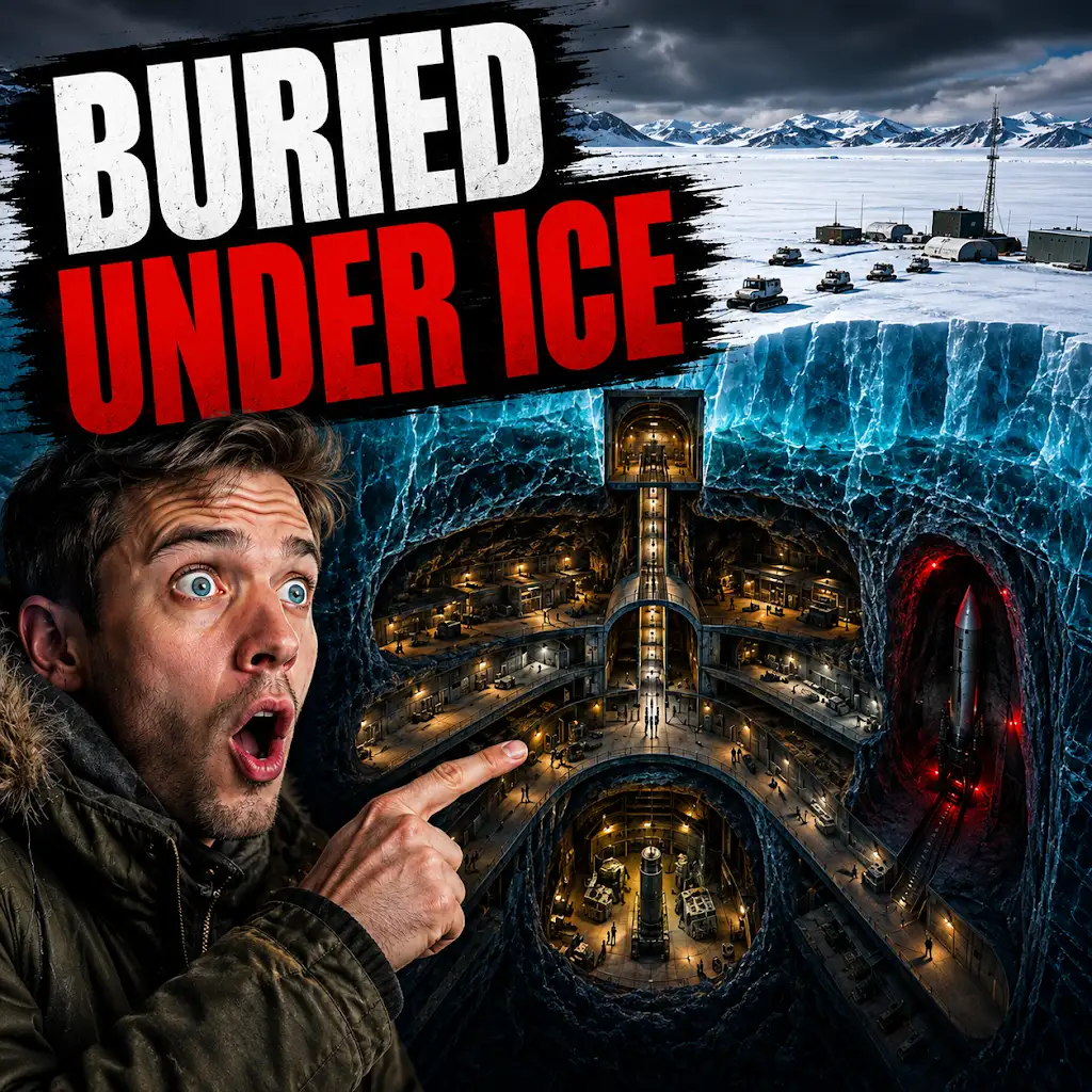
The U.S. Built a Nuclear City Under Greenland. The Ice Won.
FAQs
What are the 2024 radar images of Camp Century Greenland?
The 2024 radar images of Camp Century Greenland are a collection of radar scans taken by researchers to study the ice and bedrock beneath the Camp Century site in Greenland.
Why were the radar images taken?
The radar images were taken to better understand the ice and bedrock conditions beneath Camp Century, a former military base that was abandoned in the 1960s. The scans help researchers assess the potential environmental impact of the base’s decommissioned nuclear reactor and other waste.
What do the radar images reveal about Camp Century Greenland?
The radar images reveal the thickness and structure of the ice sheet above Camp Century, as well as the topography of the bedrock below. This information is crucial for assessing the potential release of pollutants as the ice sheet melts due to climate change.
Who conducted the radar imaging study?
The radar imaging study was conducted by a team of researchers from [insert name of institution or organization], using advanced radar technology to scan the ice and bedrock beneath Camp Century Greenland.
What are the implications of the radar imaging study for Camp Century Greenland?
The radar imaging study has important implications for understanding the environmental risks associated with Camp Century. The data collected will help inform future decisions about how to address the potential release of pollutants as the ice sheet melts, and how to mitigate the environmental impact of the abandoned military base.