Satellite imagery, once primarily a tool for environmental monitoring and military surveillance, is rapidly transforming the landscape of archaeological discovery. Through sophisticated analysis and innovative interpretation, these high-resolution orbital perspectives are now peeling back the layers of time, revealing secrets long buried beneath the Earth’s surface. Recent breakthroughs have demonstrated the remarkable capacity of satellite technology to pinpoint ancient human settlements, forgotten trade routes, and, most compellingly, vast networks of ancient graves. This technological leap is not merely augmenting traditional archaeological methods; it is, in many instances, revolutionizing them, opening up previously inaccessible or overlooked sites and offering a broader, more comprehensive understanding of past civilizations.
The fundamental principle behind satellite imagery’s archaeological prowess lies in its ability to detect subtle variations in the Earth’s surface that are imperceptible to the naked eye or even to ground-based surveys. These variations can be caused by a multitude of factors related to human activity, particularly the construction and use of burial sites. Centuries of decomposition, soil accumulation, and the passage of time can create distinctive patterns, and satellites, equipped with a range of sensors, are adept at spotting these tell-tale signs.
Electromagnetic Spectrum: Beyond Visible Light
Multispectral Imaging and its Applications
Multispectral imaging is a cornerstone of archaeological remote sensing. Satellites capture reflected light across multiple narrow bands of the electromagnetic spectrum, far beyond what human vision can perceive. Different materials reflect and absorb light in unique ways, and these spectral signatures can be used to identify anomalies. For instance, soil disturbed by ancient grave digging can have a different moisture content, mineral composition, or organic matter concentration than the surrounding undisturbed soil. These differences translate into distinct spectral responses that can be highlighted and analyzed. Researchers can create false-color composites by assigning different colors to various spectral bands, making subtle variations in vegetation health or soil composition visually apparent. Areas where ancient graves lie can sometimes exhibit altered vegetation patterns, with plants growing differently due to changes in soil aeration or nutrient availability.
Hyperspectral Imaging: Unveiling Finer Details
Hyperspectral imaging takes this one step further, capturing hundreds of very narrow spectral bands. This allows for incredibly precise identification of materials and their subtle variations. While more data-intensive and computationally demanding, hyperspectral data can differentiate between soil types, mineral assemblages, and even the remnants of ancient organic materials that might have been incorporated into burial pits. This level of detail is crucial for identifying features that might otherwise be masked by vegetation or erosion. For archaeologists, it means the potential to not only detect the presence of graves but also to infer details about the burial practices themselves, such as the types of materials used in the grave or the depth of the excavation.
Thermal Infrared Imaging: Detecting Temperature Anomalies
Geomorphological Clues in Infrared
Thermal infrared imaging detects the heat emitted by the Earth’s surface. Buried features, including graves, can alter the thermal properties of the soil above them. During the day, disturbed soil might heat up or cool down differently than undisturbed soil due to changes in moisture content and thermal conductivity. Conversely, at night, these features can exhibit unique cooling patterns. This allows archaeologists to identify anomalies that might not be visible in optical imagery, particularly in arid or semi-arid environments where vegetation cover is sparse. The presence of a buried grave can create subtle temperature differences that can be picked up by thermal sensors, offering another layer of evidence for the existence of subsurface features.
LiDAR: Peering Through Vegetation
Digital Elevation Models and Surface Reconstruction
Light Detection and Ranging (LiDAR) is a powerful technique that uses laser pulses to measure distances to the Earth’s surface. By flying over an area, a LiDAR scanner can generate incredibly detailed three-dimensional maps. Crucially, LiDAR can penetrate vegetation, allowing archaeologists to see the ground surface beneath dense forest canopies. This has been revolutionary for discovering ancient sites in heavily wooded regions that were previously considered inaccessible. For grave sites, LiDAR can reveal subtle earthworks, mounds, or depressions that indicate the presence of burial grounds, even if they are no longer obvious on the ground. The resulting high-resolution Digital Elevation Models (DEMs) can highlight even the slightest undulations, pointing to the tell-tale signs of human disturbance.
Recent advancements in satellite imagery have unveiled the locations of ancient graves, shedding light on long-lost civilizations and their burial practices. This fascinating discovery not only enhances our understanding of historical societies but also raises questions about the technology they may have possessed. For a deeper exploration of how ancient civilizations might have utilized advanced technology, you can read more in the article here.
Case Studies: Unearthing the Past from Orbit
The theoretical capabilities of satellite imagery are continually being validated by practical applications. Numerous archaeological projects around the world have leveraged orbital perspectives to achieve significant discoveries, including the identification of extensive ancient burial grounds. These case studies serve as compelling evidence of the technology’s transformative potential.
The Sahara’s Hidden Necropolises
Nomadic Cultures and Subterranean Burials
In the vast and arid landscapes of the Sahara Desert, nomadic cultures developed unique burial traditions, often involving subterranean tombs or simple grave markers that are easily eroded by wind and sand. Satellite imagery has played a pivotal role in locating these ephemeral sites. For example, researchers have used high-resolution optical imagery to identify patterns of circular depressions or subtle variations in surface reflectivity that correspond to the locations of ancient grave fields. The sheer scale of these desert civilizations means that their burial sites can cover vast areas, making ground-based surveys logistically challenging and time-consuming. Satellites provide a synoptic view, allowing for the rapid identification of potential areas of interest over hundreds or even thousands of square kilometers.
Detecting Anomalies in Arid Environments
In environments with minimal vegetation, subtle changes in soil moisture, albedo (reflectivity), and micro-topography become magnified. Satellite sensors are particularly adept at picking up these changes. Subtle tonal variations on the desert floor, or slight depressions that might indicate disturbed earth, can be highlighted through advanced image processing techniques. The absence of dense vegetation means that any subtle surface expression of a buried feature is more likely to be preserved and detectable from orbit. This has allowed for the discovery of burial grounds belonging to peoples who lived and died in these harsh but historically significant regions, shedding light on their migratory patterns, social structures, and funerary customs.
European Landscapes: Traces of Prehistoric Societies
Agricultural Practices and Earthen Mounds
In Europe, the impact of millennia of human activity, including agriculture, has often obscured ancient features. However, satellite imagery, particularly when combined with historical aerial photography and LiDAR data, can reveal subtle crop marks or soil marks that indicate the presence of buried structures. Prehistoric burial mounds, or barrows, are often characterized by subtle circular or linear features that can be accentuated by variations in crop growth due to differences in soil depth and moisture. These differences, often imperceptible on the ground, become visible from an aerial perspective.
Identifying Ring Ditches and Stone Circles
Many ancient burial sites, particularly in regions like Britain and Ireland, are characterized by ring ditches – circular ditches dug around burial monuments. These ditches, once filled with soil, can create distinct soil or crop marks. Satellites can identify these circular patterns, revealing the extent and layout of ancient cemeteries. Similarly, LiDAR has been instrumental in identifying the subtle outlines of stone circles and henges, many of which served as ceremonial or burial sites, even when the stones themselves are no longer visible or have been removed. The ability of satellites to map these features over large areas is crucial for understanding the spatial organization and territorial extent of prehistoric communities.
The Archaeology of Death: Understanding Ancient Burial Practices

The discovery of ancient graves through satellite imagery is not merely about locating remains; it is about understanding the complex rituals, social structures, and beliefs surrounding death in past societies. The patterns and arrangements of graves can reveal a wealth of information about how ancient peoples viewed their dead and their place in the cosmos.
Social Stratification and Hierarchical Burials
Grave Goods and Status Indicators
The distribution and nature of grave goods can be powerful indicators of social stratification within ancient societies. The presence of elaborate artifacts, precious metals, or imported goods in certain graves suggests a higher social status for the deceased. Satellite imagery, by revealing the overall layout and density of burial sites, can help archaeologists identify clusters of graves that might exhibit variations in their associated material culture. While satellites cannot directly detect grave goods, their ability to map the broader cemetery landscape allows for more targeted ground-based investigations, where the excavation and analysis of grave goods can then be conducted. This macro-level perspective from orbit provides the context for micro-level discoveries on the ground.
Communal vs. Individual Burials
The arrangement of graves within a cemetery can also speak to communal or individualistic burial practices. The presence of tightly packed, uniform graves might suggest communal burial, perhaps for members of a particular social group or in times of epidemic. Conversely, the presence of isolated, elaborately constructed tombs could indicate the importance placed on individual lineage or status. Satellite imagery can reveal the overall morphology of burial grounds, identifying areas of concentrated burials versus more dispersed or segregated interments, offering clues about the social organization of the community.
Ritual Landscapes and Sacred Spaces
Alignments and Astronomical Orientations
Many ancient burial sites are not randomly placed but are intentionally aligned with celestial bodies or geographical features. The orientation of graves, particularly prominent individuals, can sometimes reflect beliefs about the afterlife or cosmic order. While direct measurement of alignment is a ground-based task, satellite imagery can identify the overall layout of burial grounds and reveal potential patterns or alignments that warrant further investigation. For instance, a series of graves oriented in a specific direction might suggest a shared belief system or a connection to a particular astronomical event.
Proximity to Settlements and Water Sources
The location of burial grounds in relation to settlements and vital resources like water sources can also reveal important cultural information. Proximity might suggest a connection to a living community, while separation could indicate a desire for ritual purity or a distinct sacred landscape. Satellites, with their broad geographical coverage, can map the spatial relationships between burial sites, ancient settlements, and natural resources, providing insights into how past societies integrated their funerary practices into their broader landscape.
Technological Advancements and Future Prospects
The field of archaeological remote sensing is in constant evolution. New sensor technologies, more powerful analytical algorithms, and integrated data platforms are continually expanding the capabilities of satellite imagery, promising even more profound discoveries in the future.
Artificial Intelligence and Machine Learning in Data Analysis
Automated Feature Detection and Pattern Recognition
The sheer volume of data generated by modern satellites is immense. Artificial intelligence (AI) and machine learning (ML) are becoming indispensable tools for sifting through this data. AI algorithms can be trained to recognize specific patterns associated with ancient graves, such as the subtle tonal variations, textural anomalies, or topographical depressions that indicate buried features. This automation significantly speeds up the identification process, allowing archaeologists to focus their attention on the most promising areas. ML can also identify complex correlations between different spectral bands and geographical features that might not be apparent to human analysts.
Predictive Modeling and Site Prediction
Beyond identifying known features, AI and ML are also being used for predictive modeling. By analyzing the characteristics of known archaeological sites, including burial grounds, researchers can develop models that predict the likelihood of discovering similar sites in unexplored areas. This allows for more efficient allocation of resources and targeted surveys, significantly increasing the chances of uncovering new and significant discoveries. The ability to predict where ancient graves might be located, based on environmental factors and historical patterns, is a game-changer for archaeological exploration.
The Synergy of Multi-Sensor Data Fusion
Integrating Optical, Radar, and LiDAR Datasets
The future of satellite archaeology lies in the synergistic integration of data from multiple sensor types. Combining optical imagery (which captures visible and infrared light) with radar imagery (which can penetrate cloud cover and provide information about surface texture and moisture) and LiDAR data (which provides high-resolution topographical information) creates a more comprehensive and robust picture of the subsurface. This multi-sensor data fusion allows for cross-validation of findings and the identification of features that might be subtle in one dataset but become clearer when analyzed in conjunction with others. This integrated approach is crucial for overcoming the limitations of individual sensor types and increasing the confidence in identified archaeological features, especially for complex features like large burial grounds.
Citizen Science and Public Engagement
Crowdsourcing Data Analysis and Discovery
The growing accessibility of satellite imagery and the development of user-friendly analytical tools are opening up exciting possibilities for citizen science. Projects can be designed to engage the public in the process of analyzing satellite data, allowing amateur archaeologists and enthusiasts to contribute to the discovery and documentation of ancient sites, including potential grave locations. Crowdsourcing the analysis of vast datasets can significantly accelerate research and foster a broader appreciation for heritage preservation. This democratization of archaeological exploration, powered by satellite technology, promises to unlock a wealth of knowledge about our shared past.
Recent advancements in satellite imagery have unveiled ancient graves, shedding light on the burial practices of long-lost civilizations. This discovery not only enhances our understanding of historical societies but also raises questions about the factors that contributed to their decline. For a deeper exploration of the causes behind the downfall of ancient civilizations, you can read more in this insightful article on the downfall of ancient civilizations. Such findings remind us of the intricate connections between cultural practices and societal sustainability throughout history.
Ethical Considerations and Future Directions
| Location | Number of Graves | Age of Graves |
|---|---|---|
| Valley of the Kings, Egypt | Over 60 | 3,000 years old |
| Machu Picchu, Peru | Approximately 100 | 500 years old |
| Stonehenge, England | More than 300 | 4,500 years old |
As satellite imagery reveals more about our ancient past, it also brings to the forefront important ethical considerations regarding the discovery, management, and presentation of cultural heritage, particularly concerning human remains.
Respect for the Deceased and Cultural Sensitivities
Minimizing Disturbance and Preserving Context
The discovery of ancient graves, especially through remote sensing, raises critical questions about how to proceed with further investigation and preservation. While the desire for knowledge is powerful, it must be balanced with profound respect for the deceased and the cultural sensitivities of descendant communities, where applicable. Satellite imagery can identify potential burial sites without physically disturbing them, offering a less intrusive initial step. However, any subsequent ground-based investigation must be conducted with the utmost care, prioritizing minimal disturbance and the preservation of the archaeological context. This includes careful planning, ethical excavation techniques, and collaboration with relevant communities and heritage authorities.
The Role of Satellites in Heritage Protection
Monitoring and Safeguarding Against Looting and Destruction
Satellite imagery can also play a vital role in the protection of ancient heritage. By regularly monitoring known archaeological sites, including burial grounds, satellite surveillance can help detect and deter looting and unauthorized excavation. Anomalous activity, such as the appearance of new tracks or disturbed ground in sensitive areas, can be flagged for further investigation by heritage authorities. Furthermore, satellite data can aid in long-term site management by documenting environmental changes, erosion, or the impact of development, providing valuable information for conservation efforts. The ability to remotely monitor these fragile sites from orbit offers a powerful tool in the ongoing battle to safeguard our global archaeological legacy.
The advent of satellite imagery as a tool for archaeological discovery marks a profound shift in how we can explore and understand our past. From revealing the hidden necropolises of the Sahara to unearthing the subtle traces of prehistoric communities in Europe, these orbital perspectives are unlocking secrets buried for millennia. As technology continues to advance, and as we refine our analytical methods, the potential for satellite imagery to illuminate the archaeology of death and the lives of those who came before us is virtually limitless. The silent sentinels in orbit are not just capturing images; they are capturing history, offering us an unprecedented window into the human story.
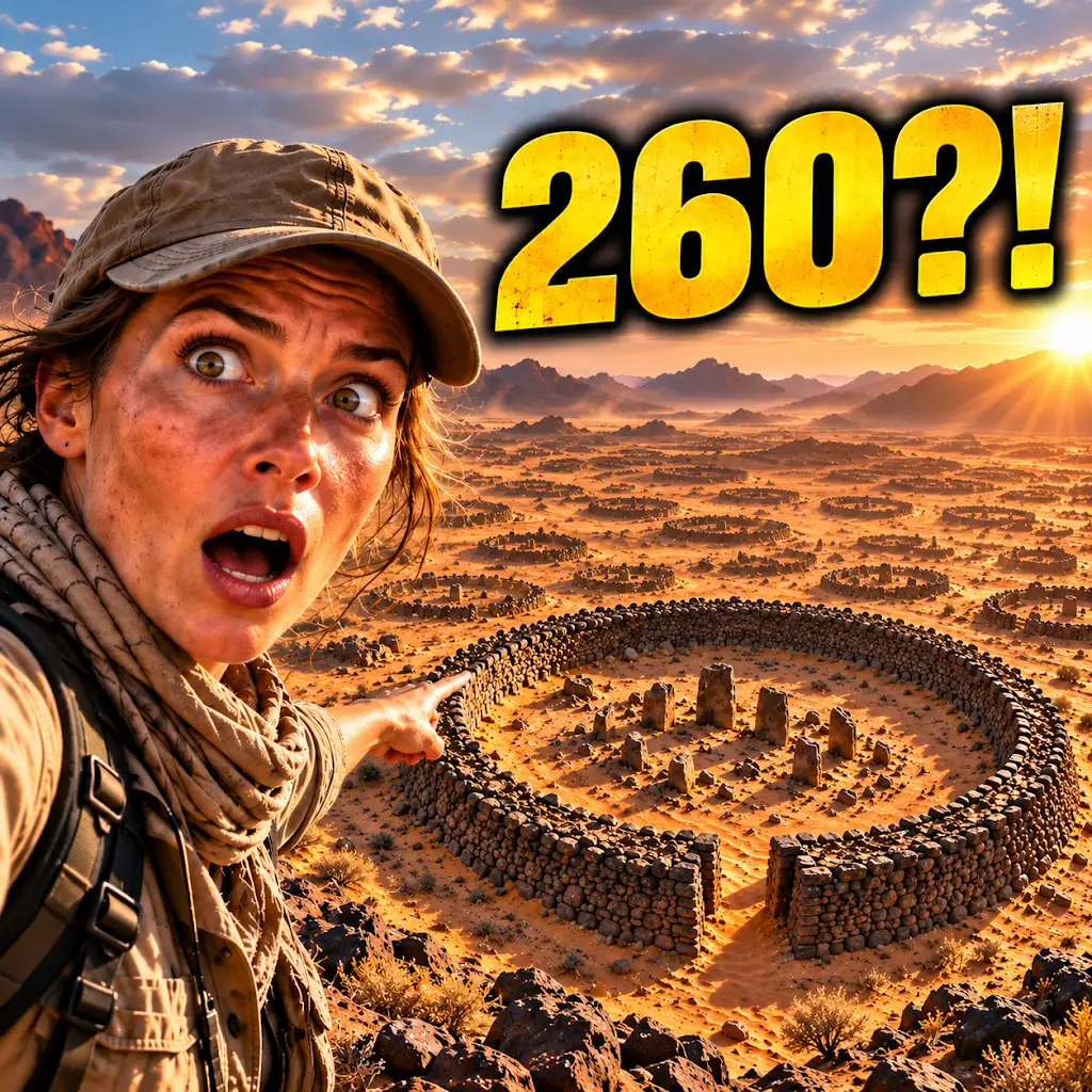
260 Ancient Graves Were Hiding in This “Empty” Desert
FAQs
What is satellite imagery?
Satellite imagery refers to photographs or images of the Earth taken by satellites orbiting the planet. These images are used for various purposes, including mapping, environmental monitoring, and archaeological research.
How does satellite imagery reveal ancient graves?
Satellite imagery can reveal ancient graves by capturing changes in the landscape that may indicate the presence of burial sites. These changes can include differences in vegetation, soil color, or topography that may be caused by the presence of buried human remains.
What are the benefits of using satellite imagery to discover ancient graves?
Using satellite imagery to discover ancient graves allows researchers to identify burial sites without disturbing the physical landscape. This non-invasive approach helps preserve archaeological sites and provides valuable information about ancient civilizations and burial practices.
What are some limitations of using satellite imagery to discover ancient graves?
Limitations of using satellite imagery to discover ancient graves include the inability to see underground structures or artifacts with high precision. Additionally, weather conditions and vegetation cover can sometimes obstruct the view of the ground, making it challenging to identify burial sites.
How is satellite imagery used in archaeological research beyond discovering ancient graves?
Satellite imagery is used in archaeological research beyond discovering ancient graves for purposes such as mapping ancient settlements, monitoring changes in archaeological sites over time, and studying the impact of human activity on the environment.