The rustle of parchment, the glint of unearthed pottery, the whisper of winds across forgotten landscapes – these are the traditional hallmarks of archaeology. For centuries, uncovering the past has been a painstaking process of manual excavation, relying on careful observation and the slow, deliberate removal of earth. Yet, a revolutionary shift has been quietly underway, one that peers not just beneath the soil, but from the very edge of space. Satellite remote sensing, once the domain of military intelligence and environmental monitoring, has emerged as an indispensable tool, unlocking ancient mysteries with an unprecedented scope and precision. This article explores how the silent watch of satellites is transforming our understanding of human history, revealing hidden sites, illuminating past landscapes, and providing new avenues for archaeological discovery.
The fundamental principle of remote sensing is simple: gathering information about an object or phenomenon without making physical contact. In the context of archaeology, this translates to using sensors mounted on satellites orbiting the Earth to detect subtle variations in the landscape that might indicate the presence of ancient human activity. These variations can manifest in numerous ways, from subtle changes in soil moisture and vegetation patterns to anomalies in temperature and the detection of specific materials.
Understanding the Electromagnetic Spectrum
Satellites are equipped with a diverse array of sensors, each designed to capture different portions of the electromagnetic spectrum. Visible light, the light we see with our eyes, is only a small fraction of this spectrum. Remote sensing technologies delve into infrared, microwave, and even radar wavelengths, which can penetrate cloud cover and vegetation, offering a unique perspective on the Earth’s surface.
Visible and Near-Infrared (VNIR) Imagery
These sensors capture light in the wavelengths that are visible to humans and slightly beyond. Variations in color and reflectance in VNIR imagery can highlight differences in soil composition, vegetation health, and the presence of man-made structures that might absorb or reflect light differently than their natural surroundings. For instance, ancient walls or foundations, even when buried, can influence the moisture content of the soil above them, leading to subtle changes in vegetation growth that are visible in VNIR images.
Short-Wave Infrared (SWIR)
SWIR bands are particularly useful for distinguishing different types of minerals and soil types. This can be crucial for identifying areas where ancient peoples may have quarried stone or processed materials. It can also help differentiate between natural soil variations and those altered by human activity, such as the presence of ash or charcoal from ancient hearths.
Thermal Infrared (TIR)
Thermal sensors detect the heat emitted by objects. Ancient structures, especially those made of stone or brick, often retain heat longer than the surrounding soil, particularly after sunset. This thermal signature can reveal the outlines of buried buildings, roads, and even burial mounds that would otherwise be invisible.
Microwave and Radar Imagery
Microwave and radar sensors, such as Synthetic Aperture Radar (SAR), have the remarkable ability to penetrate vegetation cover and even thin layers of sand or soil. This is a game-changer for archaeologists working in dense jungles or arid desert environments where traditional ground surveys are exceptionally difficult. SAR can detect subtle topographical changes, indicating the presence of ancient mounds, canals, or agricultural terraces hidden beneath dense foliage.
Data Acquisition and Processing
The process begins with the satellite capturing vast amounts of data over specific regions of interest. This raw data is then subjected to rigorous processing and analysis. Sophisticated software algorithms are employed to enhance images, correct for atmospheric distortions, and identify anomalies.
Geometric and Radiometric Correction
Before interpretation, satellite imagery must undergo geometric correction to remove distortions caused by the satellite’s angle and the Earth’s curvature. Radiometric correction adjusts for variations in sensor sensitivity and atmospheric conditions.
Image Enhancement Techniques
Techniques like contrast stretching, filtering, and band ratios are applied to highlight subtle features and patterns that might be missed in the raw imagery. For example, a false-color composite can be created by assigning different spectral bands to red, green, and blue, making certain features more visually prominent.
Anomaly Detection
Advanced algorithms are used to automatically identify unusual patterns or deviations from the expected natural landscape. These anomalies can then be flagged for further investigation by archaeologists.
Satellite remote sensing archaeology has revolutionized the way researchers explore ancient civilizations, allowing them to uncover hidden structures and landscapes without the need for extensive excavation. A related article that delves into the complexities of power dynamics during ancient crises is available at this link: Elite Control During Ancient Famine: Power and Privilege in Crisis. This article provides insights into how elite groups managed resources and maintained control during periods of famine, highlighting the intersection of environmental factors and social hierarchies in ancient societies.
Revealing the Invisible: Detecting Buried Sites and Features
One of the most significant contributions of satellite remote sensing to archaeology is its capacity to reveal sites and features that are hidden beneath the surface, obscured by vegetation, or eroded by time. This ability to “see through” obstacles has opened up vast swathes of land for potential discovery.
Identifying Crop Marks and Soil Marks
In agricultural landscapes, subtle differences in soil moisture and nutrient content can lead to variations in crop growth. Ancient features like ditches, pits, or buried walls can alter the underlying soil, either retaining more moisture or having different nutrient profiles. This results in discernible patterns in the vegetation, known as crop marks. Similarly, soil marks can be visible in bare ground, where buried features affect the color and texture of the soil.
Vegetation Indices
By analyzing vegetation indices, such as the Normalized Difference Vegetation Index (NDVI), archaeologists can quantify the health and density of vegetation. Areas with healthier or more vigorous growth might indicate nutrient-rich soil above buried features, while areas with stunted growth could point to compacted soil or the presence of stone.
Soil Moisture Anomalies
Variations in soil moisture, detectable through certain remote sensing bands, can also betray the presence of buried archaeological features. Ancient ditches, for instance, may act as reservoirs, holding more moisture than the surrounding drier soil.
Detecting Geomorphological Signatures
Beyond direct evidence of human activity, satellite imagery can reveal the subtle geomorphological signatures left by past human interactions with the landscape. This includes evidence of ancient irrigation systems, agricultural terracing, or even large-scale earthworks that have been largely leveled by natural processes.
Identifying Palimpsests of Human Landscape Modification
A palimpsest refers to something with a history of repeated alterations or superimposed elements. In archaeology, this can describe landscapes that have been extensively modified by human activity over long periods, with older features being covered or altered by newer ones. Satellite imagery allows for the identification of these layered modifications, providing insights into the evolution of human settlement and land use.
Mapping Ancient Waterways and Drainage Systems
The presence of ancient settlements is often tied to water sources. Satellite remote sensing can help map historical river courses, ancient canals, and drainage systems that may no longer be visible on the ground. These can guide archaeologists to areas where settlements are likely to have existed.
Case Studies: Unveiling Lost Cities and Settlements
Numerous archaeological discoveries have been attributed to satellite remote sensing. From the sprawling metropolises of the Maya civilization to the intricate networks of ancient settlements in Europe and Asia, satellites have provided crucial starting points for ground-based investigation. The ability to survey vast areas quickly and efficiently has allowed archaeologists to identify promising sites that might have otherwise remained undiscovered for generations.
The Maya Lowlands: Rediscovering Lost Cities
The dense jungles of the Maya region have long presented a formidable barrier to exploration. However, satellite imagery, particularly LiDAR (Light Detection and Ranging), a remote sensing technique that uses laser pulses to measure distances, has revolutionized Maya archaeology. LiDAR has revealed an astonishing network of Maya settlements, agricultural systems, and causeways hidden beneath the forest canopy, fundamentally reshaping our understanding of their civilization’s scale and complexity.
Investigating Ancient Trade Routes in Arid Environments
In arid regions like the Sahara Desert, ancient trade routes and settlements can be buried under sand. Radar imagery has proven invaluable in detecting subtle topographical changes indicative of these buried features, allowing archaeologists to map previously unknown caravanserais and waystations.
Beyond the Site: Reconstructing Past Environments and Landscapes
Archaeology is not solely about uncovering artifacts and structures; it is also about understanding the context in which ancient peoples lived. Satellite remote sensing provides a powerful lens through which to reconstruct past environments, revealing how landscapes have changed and how ancient societies interacted with their surroundings.
Analyzing Vegetation and Land Cover Changes
By comparing satellite imagery from different time periods, archaeologists can track changes in vegetation and land cover. This can reveal evidence of deforestation, agricultural expansion, or the impact of climate change on ancient landscapes. Understanding these changes is crucial for interpreting settlement patterns and resource management strategies.
Historical Land Use Mapping
Through the analysis of historical satellite imagery, researchers can create detailed maps of land use over time. This allows them to understand how ancient populations managed their resources, cultivated land, and shaped their environment.
Identifying Areas of Past Deforestation and Reforestation
Changes in forest cover, detectable through satellite data, can provide clues about human impact on the environment. Areas showing significant deforestation might indicate areas of intense resource extraction or agricultural expansion by ancient populations.
Mapping Ancient Agricultural Systems and Water Management
The success of ancient civilizations was often dependent on their ability to manage water and cultivate land effectively. Satellite remote sensing can reveal the subtle, often degraded, remnants of ancient agricultural systems, such as terraces, irrigation canals, and field boundaries.
Tracing Ancient Irrigation Networks
The detection of subtle linear features in satellite imagery can indicate the presence of ancient irrigation canals, even if they are no longer visible on the ground. This helps archaeologists understand how ancient societies managed water resources and supported their populations.
Identifying Evidence of Ancient Terracing and Field Systems
Terracing, a technique used to create flat planting surfaces on slopes, leaves distinct patterns in the landscape. Satellite imagery can effectively map these terraced fields, providing insights into ancient agricultural practices and the scale of food production.
Understanding the Impact of Environmental Factors on Human Settlement
Satellite data allows archaeologists to correlate ancient settlement locations with environmental factors like proximity to water, soil fertility, and topographical features. This helps to build a more nuanced understanding of why people settled where they did and how they adapted to their environment.
Paleoenvironmental Reconstruction
By combining satellite data with other paleoenvironmental proxies, such as sediment cores and pollen analysis, archaeologists can create detailed reconstructions of past climates and ecosystems, offering a comprehensive picture of the environmental challenges and opportunities faced by ancient peoples.
Enhancing Archaeological Fieldwork and Survey
While satellites provide a broad overview, their data is also instrumental in guiding and refining traditional archaeological fieldwork. By identifying promising areas of interest, remote sensing significantly increases the efficiency and effectiveness of on-the-ground surveys and excavations.
Prioritizing Areas for Ground-Based Investigation
Satellite imagery allows archaeologists to conduct “desk-top archaeology” before setting foot in the field. By identifying areas with high potential for archaeological remains, survey teams can focus their efforts more strategically, saving time and resources.
Identifying Anomalies for Targeted Ground Truthing
The anomalies detected in satellite imagery are not definitive proof of archaeological sites. Instead, they serve as strong indicators that warrant further investigation through ground-truthing, where archaeologists visit the locations to confirm the presence of human-made features.
Optimizing Survey Routes
By analyzing the terrain and potential archaeological signatures revealed by satellite data, archaeologists can plan more efficient and effective survey routes, ensuring that they cover the most promising areas.
Improving the Accuracy of Excavation Planning
Once a potential site is identified, satellite imagery can provide valuable context for excavation planning. Understanding the spatial relationships between different features and the broader landscape can help archaeologists make informed decisions about where to excavate and how to interpret their findings.
Digital Elevation Models (DEMs) for Site Interpretation
DEMs derived from satellite data provide detailed topographical information, allowing archaeologists to understand the natural contours of the land and how ancient peoples may have modified them. This is crucial for interpreting the layout of settlements and the function of different features.
Remote Sensing as a Complement to Traditional Methods
It is important to emphasize that satellite remote sensing is not a replacement for traditional archaeological methods. Instead, it is a powerful complementary tool that enhances and informs them. The insights gained from satellite imagery are ultimately validated and enriched by careful ground-based investigation and excavation.
Satellite remote sensing archaeology has become an invaluable tool for uncovering ancient civilizations and landscapes that are often hidden beneath vegetation or other obstructions. A fascinating article discusses how the melting ice caps in Antarctica are not only impacting global sea levels but also revealing previously unseen archaeological sites that were once buried under ice. This connection between climate change and archaeological discovery highlights the importance of satellite technology in understanding our past. To learn more about this intriguing intersection, you can read the article here: Antarctica’s Melting Ice Caps.
The Future of Archaeological Discovery: AI and Advanced Sensing
| Year | Study Area | Technique | Findings |
|---|---|---|---|
| 2015 | Peru | Lidar | Discovered ancient structures hidden by vegetation |
| 2018 | Egypt | Multi-spectral imaging | Identified buried pyramids and tombs |
| 2020 | Mexico | Thermal imaging | Revealed hidden Mayan settlements |
The integration of artificial intelligence (AI) and increasingly sophisticated satellite sensing technologies promises to further revolutionize archaeological discovery. As computational power grows and sensor capabilities expand, the ability to extract meaningful archaeological information from satellite data will only become more profound.
Artificial Intelligence in Archaeological Data Analysis
AI algorithms are increasingly being developed to automate the detection and classification of archaeological features in satellite imagery. This can significantly speed up the analysis of vast datasets and identify patterns that might be missed by human analysts.
Machine Learning for Feature Recognition
Machine learning models can be trained on existing archaeological data to recognize specific types of features, such as ancient walls, roads, or agricultural fields, in new satellite imagery, making the identification process more efficient and accurate.
Predictive Modeling for Site Discovery
AI can also be used to develop predictive models that forecast the likelihood of archaeological sites existing in specific areas based on a combination of environmental factors, known settlement patterns, and remote sensing data.
Next-Generation Satellite Sensors and Technologies
The development of new satellite sensors and platforms will continue to push the boundaries of what is possible in archaeological remote sensing. This includes higher spatial resolution, enhanced spectral capabilities, and more advanced radar technologies.
Hyperspectral Imaging for Material Identification
Hyperspectral sensors capture data across hundreds of narrow spectral bands, allowing for the detailed identification of different materials. This could potentially be used to identify ancient building materials or distinct soil types associated with specific human activities.
LiDAR and 3D Reconstruction
The continued development and deployment of LiDAR technology will further enhance our ability to create highly detailed 3D models of landscapes, revealing subtle archaeological features that are otherwise imperceptible. This will be particularly transformative for understanding complex ancient settlements and their relationships with the surrounding topography.
Global Archaeological Databases and Citizen Science
The vast amounts of data generated by satellite remote sensing are fostering the development of global archaeological databases. Furthermore, the potential for citizen science initiatives, where trained volunteers can assist in analyzing satellite imagery, offers exciting possibilities for accelerating discovery on a global scale.
Collaborative Platforms for Data Sharing and Analysis
The creation of open-access platforms for sharing and analyzing satellite-derived archaeological data will foster collaboration among researchers worldwide, accelerating the pace of discovery and promoting a more holistic understanding of human history.
Empowering Citizen Archaeologists
By providing accessible tools and training, citizen science initiatives can empower individuals to contribute to archaeological research by assisting in the interpretation of satellite imagery, thereby expanding the human capacity for discovery.
In conclusion, satellite remote sensing has moved beyond being a mere supplementary tool in archaeology. It is now a fundamental pillar, enabling us to see further, understand more, and uncover the silent narratives etched into the Earth’s surface. From revealing the faint signatures of buried civilizations to reconstructing the vanished environments of our ancestors, the eye in the sky is not just observing the past; it is actively unlocking its profoundest mysteries, ushering in a new era of discovery for the field of archaeology.
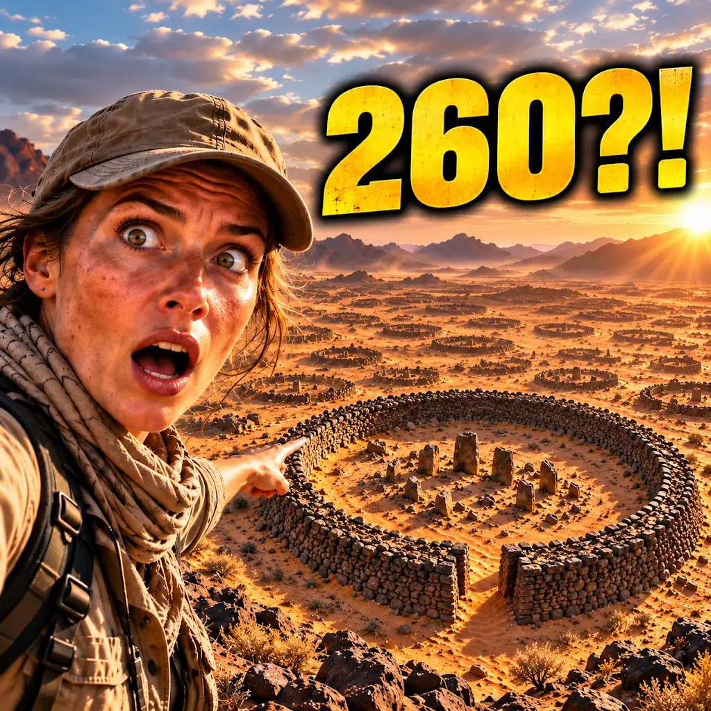
260 Ancient Graves Were Hiding in This “Empty” Desert
FAQs
What is satellite remote sensing archaeology?
Satellite remote sensing archaeology is the use of satellite imagery and other remote sensing technologies to study and analyze archaeological sites from a distance.
How does satellite remote sensing archaeology work?
Satellite remote sensing archaeology works by capturing images of the Earth’s surface using satellites equipped with various sensors, such as optical, infrared, and radar. These images are then analyzed to identify and map archaeological features and sites.
What are the benefits of using satellite remote sensing in archaeology?
The benefits of using satellite remote sensing in archaeology include the ability to survey large areas quickly, the non-invasive nature of the technology, and the potential for discovering new archaeological sites that may not be visible from the ground.
What are some examples of satellite remote sensing archaeology being used in practice?
Satellite remote sensing archaeology has been used to study ancient civilizations in Egypt, map ancient roads and settlements in the Roman Empire, and identify potential archaeological sites in remote or inaccessible areas.
What are the limitations of satellite remote sensing in archaeology?
Limitations of satellite remote sensing in archaeology include the inability to see beneath dense vegetation or deep layers of soil, the need for ground-truthing to confirm findings, and the potential for misinterpretation of features in the imagery.