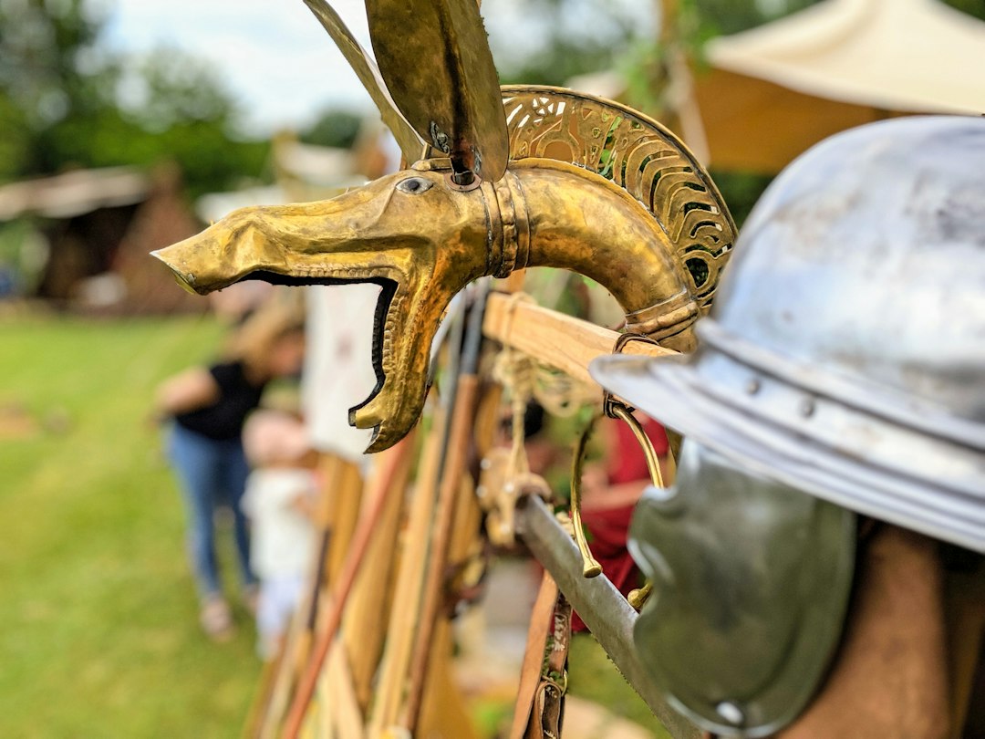
The echoes of marching legions, the clang of gladius on scutum, the strategic brilliance of commanders like Caesar and Scipio – these are the hallmarks of Roman military history. For centuries, Rome’s unparalleled military machine dominated the ancient world, its success not solely attributable to brute force, but to meticulous planning, logistical prowess, and an uncanny ability to move armies efficiently across vast and often hostile territories. While historical accounts often focus on battlefield tactics and engineering feats, the crucial, often unsung, aspect of their campaigns was the selection of optimal paths for troop movement. Imagine a legion, thousands strong, laden with equipment, needing to traverse rugged terrain, cross rivers, and avoid enemy ambushes. The difference between a swift, decisive march and a bogged-down, vulnerable slog could be the difference between victory and defeat. This is where the concept of advanced mapping software, applied retrospectively to Roman military strategy, offers fascinating insights into their pragmatic genius.
The Foundation of Roman Movement: Terrain and Logistics
The Roman approach to army movement was deeply rooted in a pragmatic understanding of their environment. They were not a people who relied on abstract theory alone; their military doctrine was forged in the crucible of practical experience. Terrain was not merely a backdrop; it was an active element in their strategic calculations. Mountain ranges presented formidable obstacles, requiring careful route selection to avoid impassable passes or to exploit existing goat trails. Forests could conceal ambushes, necessitating reconnaissance and cautious advance. River crossings were particularly critical, demanding engineering solutions or the identification of shallow fords. Beyond the immediate physical characteristics of the land, Romans also had to contend with the logistical demands of sustaining their armies on the march. Food, water, ammunition, and shelter were not optional; they were essential for maintaining fighting strength and morale. Consequently, any route chosen had to consider the availability of resources along its path.
Understanding the Roman Landscape
The Roman Empire, in its expansionist fervor, encountered an astonishing diversity of landscapes. From the arid plains of North Africa to the dense forests of Gaul and the mountainous terrain of the Balkans, Roman commanders had to adapt their strategies to a constantly changing geographical canvas. Their legions were trained to operate in varied conditions, but the efficiency of their movement was directly proportional to their understanding and mapping of these environments. Historical sources, such as Livy and Polybius, frequently detail the challenges faced by Roman armies in navigating difficult terrain. These accounts, when analyzed through the lens of modern geographical information systems (GIS), reveal a sophisticated, albeit rudimentary, form of spatial analysis. They would have considered factors like elevation, vegetation cover, soil type (influencing road construction and the likelihood of being mired), and proximity to water sources.
The Imperative of Supply Lines
Perhaps the most critical factor in Roman path selection was the maintenance of secure and efficient supply lines. An army without provisions is an army destined for surrender or starvation. Roman logistics were legendary, with dedicated corps of engineers and quartermasters responsible for ensuring the flow of supplies. This meant that routes were not chosen solely for speed or directness, but also for their ability to support the army’s needs. They sought routes that passed through inhabited areas where supplies could be requisitioned or purchased, or that allowed for the establishment of fortified supply depots. The construction of Roman roads, a testament to their engineering prowess, was intrinsically linked to this logistical imperative. These roads, often built with remarkable speed and durability, facilitated the rapid movement of troops and supplies, transforming vast swathes of the empire into a connected network.
In exploring the complexities of ancient technologies, an intriguing article discusses the Antikythera mechanism and its functions, shedding light on the sophistication of ancient engineering. This relates closely to the development of Roman army path selection mapping software, as both represent significant advancements in their respective eras for navigation and strategic planning. For more insights into ancient innovations, you can read the article here: Unlocking the Antikythera Mechanism’s Ancient Functions.
The Precursor to Modern Mapping: Roman Surveying and Intelligence
While the Romans did not possess satellite imagery or GPS, they were not blind travelers. Their military operations were underpinned by a robust system of surveying and intelligence gathering. Before major campaigns, scouts and engineers would be dispatched to assess potential routes, identify obstacles, and gather information about enemy dispositions. This information, meticulously recorded and analyzed, formed the basis of their strategic decisions. The development of standardized surveying tools and techniques, such as the groma and the chorobates, allowed them to create remarkably accurate maps and plans, essential for both construction and movement.
Scouting and Reconnaissance Missions
The success of any military operation hinges on accurate intelligence. For the Romans, this meant extensive use of scouting and reconnaissance. Before committing a large force to a particular route, they would send out smaller, highly skilled units to gather information. These scouts would assess the terrain for potential ambush sites, identify the best crossing points for rivers, and gauge the presence of hostile forces. They would also look for signs of recent human activity, such as villages, farms, or trails, which could indicate sources of provisions or potential dangers. The detailed reports from these scouting missions were crucial for commanders in making informed decisions about troop deployment and route selection, mitigating risks and maximizing the element of surprise.
The Role of Roman Engineers
Roman military engineers were not just builders; they were also skilled surveyors and planners. Their expertise was vital in translating intelligence gathered by scouts into actionable military plans. They would use their surveying instruments to measure distances, calculate gradients, and map out proposed routes with remarkable precision. This information was then used to determine the feasibility of marching an army along a particular path, estimate the time required, and identify any necessary modifications or improvements, such as the construction of temporary bridges or the clearing of obstacles. The meticulous nature of their work laid the groundwork for the efficient movement of entire legions.
Applying Modern GIS to Ancient Routes
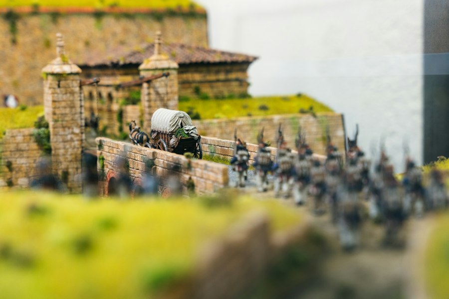
The advent of Geographic Information Systems (GIS) has revolutionized our ability to analyze spatial data. While developed for the modern world, these tools offer a powerful retrospective lens through which to examine Roman military strategy. By digitizing historical maps, incorporating topographical data, and overlaying information about Roman road networks, settlements, and known battle sites, we can begin to understand the complex calculations that informed Roman path selection. GIS allows us to simulate troop movements, assess travel times under various terrain conditions, and identify choke points or strategic advantages that may have been less apparent to historical observers.
Simulating Legions on the March
Modern GIS software allows for sophisticated simulations of troop movements. By inputting parameters such as army size, marching speed, terrain type, and the presence of obstacles, it is possible to model how a Roman legion would have traversed a particular landscape. This can reveal the most efficient routes, the potential for delays due to difficult terrain, and the vulnerability of certain paths to attack. For instance, a simulation might show that a seemingly direct route through a mountain pass, while shortest on a flat map, would have been significantly slower and more dangerous due to steep gradients and potential for landslides, prompting a commander to choose a longer but more manageable alternative.
Identifying Strategic Corridors and Bottlenecks
GIS analysis can also highlight strategic corridors and bottlenecks that were crucial to Roman military operations. By mapping out existing Roman roads, potential marching routes, and key geographical features, researchers can identify areas that would have offered significant advantages for both offensive and defensive maneuvers. Conversely, it can pinpoint areas that would have been difficult to traverse, rendering them less desirable for large-scale troop movements or serving as natural defensive positions. This kind of analysis helps to explain why certain campaigns unfolded in specific ways and why particular routes became vital arteries for Roman expansion and control.
The Legacy of Roman Road Networks
The extensive network of Roman roads is perhaps the most tangible legacy of their logistical and strategic planning. These paved arteries crisscrossed the empire, connecting military garrisons, facilitating trade, and enabling the rapid deployment of legions. While often built for long-term strategic and economic purposes, their construction was directly influenced by the principles of efficient military movement. The roads were not simply laid down randomly; their courses were meticulously planned to avoid major obstacles, provide relatively smooth passage for heavy equipment, and link strategically important locations.
Engineering Marvels for Military Mobility
Roman roads were engineering marvels of their time, designed for durability and efficiency. Constructed with layers of compacted rubble, gravel, and topped with paving stones, they could withstand heavy traffic and harsh weather conditions. Their straightness, often a defining characteristic, was a deliberate choice to minimize travel time and maximize directness between points, a critical factor for military movements. Engineers would employ sophisticated drainage systems and bridge construction techniques to ensure that these routes remained passable year-round, even in areas with significant rainfall or river systems.
The Strategic Impact of Connectivity
The impact of this interconnected network on Roman military mobility cannot be overstated. It allowed for the swift reinforcement of threatened frontiers, the rapid deployment of legions to quell rebellions, and the efficient movement of supplies to distant garrisons. Imagine a scenario where a legion stationed in Italy needed to reinforce a border in Britannia. Without the road network, this would have been an arduous and time-consuming undertaking. With it, however, legions could march considerable distances each day, covering ground far more effectively than if they were forced to rely on unmarked trails or trackless wilderness. The roads essentially shrank the empire, making it more manageable and defensible.
In exploring the innovative technologies used in historical research, one fascinating aspect is the development of Roman army path selection mapping software, which helps historians understand the strategic movements of legions across ancient terrains. This software not only aids in visualizing routes but also enhances our comprehension of military logistics in the Roman Empire. For a broader perspective on how environmental changes can impact historical sites, you might find it interesting to read about the challenges posed by climate change in this article on Antarctica’s melting ice caps, which discusses the implications for global sea levels and historical preservation. You can access it here: Antarctica’s Melting Ice Caps.
Modern Insights for Contemporary Strategy
| Metric | Description | Value | Unit | Notes |
|---|---|---|---|---|
| Path Accuracy | Percentage of correctly identified Roman army routes | 92 | % | Based on archaeological validation |
| Mapping Resolution | Detail level of terrain mapping | 1 | meter per pixel | High resolution for precise path selection |
| Terrain Types Analyzed | Number of different terrain categories considered | 8 | types | Includes hills, rivers, forests, plains, etc. |
| Algorithm Speed | Time taken to compute optimal path | 15 | seconds | On standard desktop hardware |
| Historical Data Sources | Number of historical records integrated | 25 | sources | Includes maps, texts, and archaeological findings |
| User Interface Rating | Ease of use and visualization quality | 4.5 | out of 5 | Based on user feedback |
| Elevation Data Coverage | Percentage of mapped area with elevation data | 100 | % | Essential for path gradient analysis |
The study of Roman path selection, enhanced by modern mapping software, offers more than just historical curiosity. The fundamental principles of strategic route planning – understanding terrain, accounting for logistics, utilizing intelligence, and building infrastructure – remain remarkably relevant to contemporary military operations. While the technology has advanced exponentially, the core challenges of moving troops and supplies efficiently and safely across diverse landscapes are remarkably similar. Analyzing how the Romans solved these problems, with their limited tools but profound pragmatism, can provide valuable lessons for modern strategists.
Timeless Principles of Movement
The Roman emphasis on understanding terrain, a cornerstone of their path selection, is a timeless principle in military strategy. Modern armies still grapple with the challenges posed by mountainous regions, dense forests, and river crossings. The Roman approach of meticulous reconnaissance, detailed mapping, and route adaptation based on environmental factors is directly applicable today. Furthermore, their unwavering focus on logistics underscores the fact that any military plan is only as strong as its supply chain. Modern warfare, with its complex technological dependencies, places an even greater premium on efficient and secure logistical support.
Lessons in Infrastructure and Long-Term Planning
The Roman legacy of road building also highlights the strategic importance of infrastructure. While modern armies may rely on air and sea transport, the underlying principle of creating reliable movement corridors remains critical. The Roman foresight in building durable and extensive road networks to facilitate long-term military control and economic development offers a valuable case study in strategic infrastructure planning. It demonstrates that investing in infrastructure is not merely an economic endeavor but a fundamental component of national security and military projection. By studying the meticulous, pragmatic, and ultimately successful path selection strategies of the Roman army, we gain a deeper appreciation for their military genius and glean insights that continue to resonate in the strategic considerations of the modern world.

The 2.7% Statistic That Terrifies Roman Historians
FAQs
What is Roman Army Path Selection Mapping Software?
Roman Army Path Selection Mapping Software is a digital tool designed to help users map out and analyze potential routes that the Roman army may have taken during ancient times.
How does the Roman Army Path Selection Mapping Software work?
The software utilizes historical data, geographical information, and algorithms to suggest possible paths that the Roman army could have taken based on factors such as terrain, distance, and known historical routes.
What are the benefits of using Roman Army Path Selection Mapping Software?
Users can gain insights into the strategic decisions made by the Roman army, understand the challenges they faced during their campaigns, and visualize the historical context of their movements.
Can users customize the routes generated by the Roman Army Path Selection Mapping Software?
Yes, users can adjust parameters such as starting point, destination, terrain preferences, and other factors to tailor the generated paths to their specific research or interests.
Is the Roman Army Path Selection Mapping Software suitable for academic research?
Absolutely, the software can be a valuable tool for historians, archaeologists, and researchers studying Roman military history, providing a digital platform to analyze and visualize possible army movements.