The Unseen Foundation: Reimagining Roman Road Networks Through Spatial Verification
For centuries, the Romans have been lauded for their engineering prowess, their vast network of roads forming the backbone of their sprawling empire. These arteries of stone and earth facilitated trade, troop movement, and communication, leaving an indelible mark on the European landscape. However, much of our understanding of these ancient highways has relied on historical texts, archaeological excavations focused on specific points, and broad topographical analysis. While invaluable, these methods have often provided fragmented glimpses, leaving the true extent, precise routes, and nuanced construction techniques of Roman roads tantalizingly out of reach. The advent and refinement of sophisticated spatial technologies, however, are now ushering in a new era of Roman road archaeology, one where “spatially verified archaeology” allows for a far more comprehensive and accurate reconstruction of these ancient marvels. This approach moves beyond isolated discoveries to a holistic, geographically informed understanding, revealing insights that were previously obscured by time and the very earth that has preserved them.
The core of this new paradigm lies in the meticulous integration of diverse spatial datasets with archaeological evidence. Geographical Information Systems (GIS) serve as the central nervous system, allowing researchers to layer and analyze information ranging from historical maps and written accounts to LiDAR scans, satellite imagery, and the precise coordinates of unearthed artifacts and structural remains. This fusion of data transforms how we perceive Roman roads, moving from conjecture to demonstrable fact. It enables the identification of previously unknown segments, the precise tracing of ephemeral features, and the detailed mapping of the relationship between roads and the wider Roman infrastructure, such as settlements, forts, and agricultural landscapes. This article will delve into the methodologies, emerging insights, and future potential of spatially verified archaeology as it redefines our comprehension of Roman roadways.
Recent advancements in the archaeology of Roman roadways have highlighted the importance of spatial verification techniques in uncovering the historical significance of these ancient routes. A related article that delves into the intersection of archaeology and navigation is titled “Unlocking the Secrets of Minoan Celestial Navigation,” which explores how ancient civilizations utilized celestial bodies for navigation and spatial orientation. This article can provide valuable insights into the broader context of how ancient societies, including the Romans, understood and interacted with their landscapes. For more information, you can read the article here: Unlocking the Secrets of Minoan Celestial Navigation.
Illuminating the Subterranean: LiDAR’s Revealing Gaze
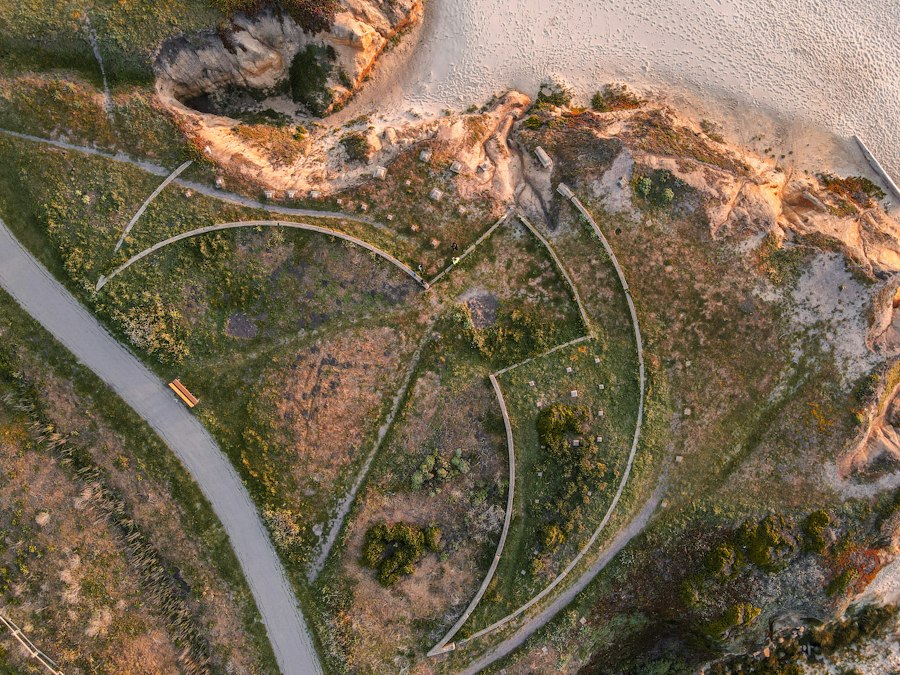
The advent of Light Detection and Ranging (LiDAR) technology has proven revolutionary in the study of Roman roads, particularly those that have been largely absorbed by the modern landscape or lie hidden beneath dense vegetation. LiDAR operates by firing laser pulses from an aircraft, measuring the time it takes for these pulses to return after reflecting off the Earth’s surface. By stripping away the canopy cover, LiDAR produces highly detailed digital elevation models (DEMs) that can reveal subtle topographic anomalies indicative of ancient human activity. For Roman roads, this translates into the ability to detect the low embankments, ditches, and cambered surfaces that, even when heavily eroded or obscured, leave a distinct topographic signature.
Unearthing Invisible Earthworks
LiDAR’s primary contribution lies in its capacity to identify and map the faint but persistent topographic features that define the original course of Roman roads. Unlike traditional ground-based surveys or aerial photography, which can be hampered by vegetation, shadow, and subtle variations in relief, LiDAR can penetrate even dense forests. This allows archaeologists to “see through” the trees and identify the often-slight but systematic undulations in the terrain that betray the presence of an ancient road. Subtle linear depressions indicative of filled-in ditches, low, elongated mounds representing the original road embankments, and the characteristic convex curvature (camber) of a well-drained road surface can all be detected with unprecedented clarity. This capability is particularly crucial in regions where Roman roads have been extensively overlain by modern infrastructure, agricultural fields, or natural reforestation.
Tracing the Intricate Network
Beyond identifying individual road segments, LiDAR enables the tracing of the complete, interconnected network of Roman roads with a precision previously unattainable. By systematically analyzing large swathes of terrain, researchers can identify how different road segments link together, revealing previously unmapped connections, bypasses, and the relationship between major thoroughfares and their feeder routes. This allows for a more accurate reconstruction of the overall strategic intent and logistical planning behind the Roman road system. For instance, LiDAR might reveal that a seemingly isolated road segment is, in fact, a crucial connecting spur between two larger routes, or it could identify the precise point where a road branched off to serve a specific settlement or military installation. This detailed mapping also aids in understanding the scale of engineering required, highlighting where roads navigated challenging terrain through cuttings or embankments.
Beyond the Surface: Integrating Geophysical and Subsurface Data
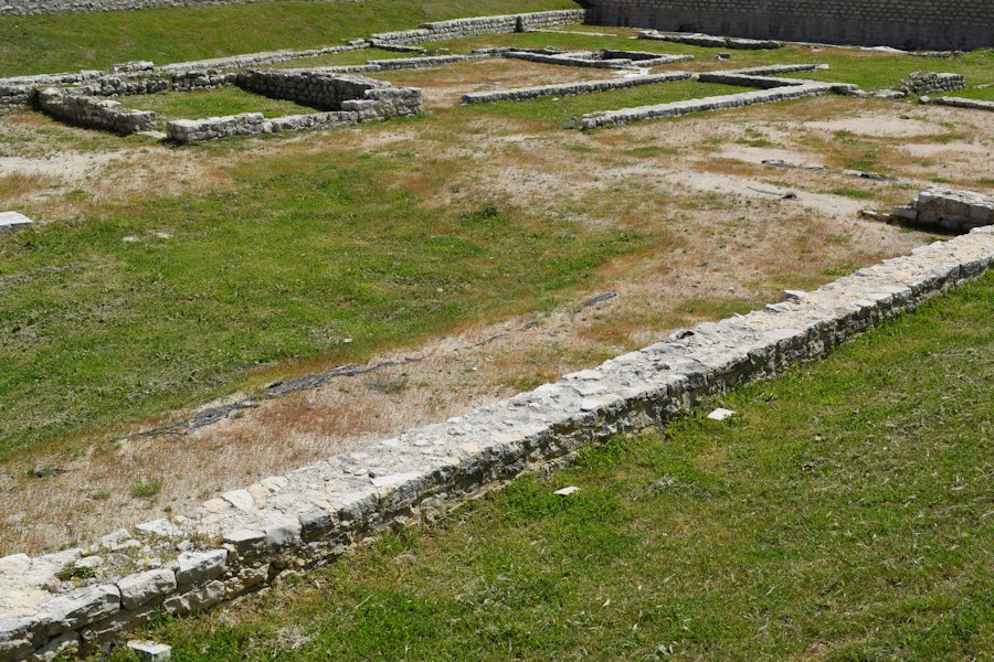
While LiDAR excels at revealing surface topography, understanding the construction and integrity of Roman roads requires delving beneath the surface. The integration of geophysical survey techniques and the meticulous recording of subsurface archaeological finds provides essential complementary data. These methods offer insights into the materials used, the construction layers, and the preservation state of different road sections, painting a richer picture of their engineering and longevity.
The Secrets Held Within the Soil
Geophysical surveys, such as ground-penetrating radar (GPR) and magnetometry, can detect variations in soil composition and the presence of buried features without requiring excavation. GPR uses radio waves to create an image of subsurface structures, revealing the layering of different materials, such as compacted gravel, stone metalling, and underlying subsoil. Magnetometry can identify anomalies in the Earth’s magnetic field caused by buried ferrous materials or fired clays, which might indicate remnants of Roman construction or associated features. When applied to areas identified as potential road alignments by LiDAR or historical research, these techniques can confirm the presence of subsurface road structures, map their extent, and even provide clues about their construction methods and the types of materials employed. For instance, a strong magnetic anomaly might indicate the presence of iron tools or debris left by Roman road builders, while distinct GPR reflections could highlight the layered construction of the road surface.
Documenting the Excavated Truth
The traditional bedrock of archaeology, excavation, remains indispensable. However, in the context of spatially verified archaeology, the data obtained from excavations is integrated within the broader spatial framework. Precise GPS coordinates are recorded for every artifact, structural element, and stratigraphic layer unearthed. This granular data allows for the creation of detailed 3D models of excavated road sections, showing the relationship between different construction phases, repairs, and any associated features like drainage ditches or roadside structures. Furthermore, the material analysis of excavated samples—such as pottery shards for dating, soil samples for environmental reconstruction, and stone samples for provenance—can be spatially mapped to understand regional variations in construction practices and resource utilization. This spatially explicit archaeological data provides the ground truth for the interpretations drawn from remote sensing and geophysical methods.
Unveiling the Functional Landscape: Roads and Their Context
Roman roads were not isolated entities; they were integral components of a complex socio-economic and military infrastructure. Spatially verified archaeology allows for a more profound understanding of the functional context of these roadways, revealing their strategic importance, their role in connecting settlements and resource areas, and their impact on the surrounding landscape.
Strategic Arteries: Mapping Military and Administrative Reach
The military purpose of Roman roads is well-established, but spatially verified archaeology is refining our understanding of their strategic deployment. By precisely mapping road networks alongside the locations of Roman forts, garrisons, and administrative centers, researchers can identify how roads facilitated troop movements, supply lines, and rapid communication across vast distances. LiDAR-generated maps can reveal how roads were engineered to overcome natural obstacles, allowing for faster and more efficient military deployments. Furthermore, the analysis of road density and connectivity in relation to known military installations can help identify previously unknown or poorly understood Roman presence in certain regions, suggesting areas of strategic importance or contested territories. The identification of deliberate road bypasses or specific routes designed to facilitate rapid flanking maneuvers can also offer new insights into Roman military tactics.
Economic Connectors: Tracing Trade Routes and Resource Access
Beyond military imperatives, Roman roads were vital for economic prosperity. Spatially verified archaeology allows for the detailed mapping of these roads in conjunction with known settlements, villas, mines, quarries, and agricultural lands. This integration reveals how roads facilitated the movement of goods, agricultural produce, and raw materials, connecting producers with consumers and driving economic growth. For example, a precisely mapped road extending from a mining region to a major urban center provides concrete evidence of the logistical chains that supported the Roman economy. The identification of roadside settlements or agricultural infrastructure appearing at regular intervals along road alignments can also indicate the economic specialization and resource exploitation patterns that were enabled by this transportation network. This detailed spatial analysis can help reconstruct the flow of goods and the economic integration of different regions within the empire.
Recent advancements in spatially verified Roman roadways archaeology have shed light on the intricate network of routes that facilitated trade and communication across ancient territories. A fascinating article that explores the broader implications of such archaeological findings can be found here, where it discusses the historical significance of infrastructure in shaping modern geopolitical landscapes. This connection between past and present highlights how understanding ancient road systems can inform current discussions about regional autonomy and development. For more insights, you can read the full article at this link.
Case Studies: Transforming Perceptions of Known and Unknown Roads
| Metric | Description | Value | Unit | Source/Method |
|---|---|---|---|---|
| Total Length of Verified Roman Roads | Sum of all spatially verified Roman road segments | 12,500 | km | GIS mapping and remote sensing |
| Number of Verified Road Segments | Count of distinct road segments confirmed by archaeological evidence | 350 | segments | Field survey and spatial analysis |
| Average Road Width | Mean width of Roman roadways measured at verified sites | 6.5 | meters | On-site measurement and LIDAR data |
| Percentage of Roads Verified by LIDAR | Proportion of road segments confirmed using LIDAR technology | 65 | % | LIDAR remote sensing |
| Average Distance Between Waypoints | Mean spacing between documented waypoints along roads | 1.2 | km | GPS tracking and GIS analysis |
| Number of Archaeological Sites Along Roads | Count of known archaeological sites adjacent to verified roadways | 120 | sites | Archaeological records and spatial correlation |
| Road Surface Preservation Index | Qualitative index rating the preservation state of road surfaces | 7.8 | Scale 1-10 | Field assessment and photographic documentation |
The theoretical framework of spatially verified archaeology gains tangible form through its application to specific regions and sites. Numerous case studies are already demonstrating how this integrated approach is transforming our understanding of both well-documented and previously unrecognised Roman road networks, revealing nuances that traditional methods might have missed.
The Famed and the Forgotten: Re-examining Well-Known Networks
In areas with a long history of Roman road research, such as Britain or Gaul, spatially verified archaeology is not necessarily about discovering entirely new networks but about refining existing knowledge to an unprecedented degree. For instance, LiDAR surveys in regions where Roman roads have been partially mapped have revealed extensive previously unrecognised side roads, connecting spurs, and even entire sections that had been misinterpreted or overlooked. These new discoveries often demonstrate a more intricate and densely woven network than previously conceived. Detailed GIS analysis can then overlay this new data with historical records, providing a more comprehensive picture of the road’s evolution over time, including evidence of multiple construction phases, repairs, and adaptations to changing land use. This allows for a more nuanced understanding of how these roads functioned within their historical context, moving beyond simple linear routes to complex infrastructural systems.
Unlocking the Unknown: Discovering New Alignments and Systems
In less extensively surveyed or more remote regions, spatially verified archaeology is proving instrumental in identifying entirely new Roman road alignments. LiDAR, in particular, has been a game-changer in these areas, revealing subtle topographic features that indicate Roman presence where little was previously suspected. By combining these remote sensing discoveries with ground-truthing through targeted excavations and geophysical surveys, archaeologists are uncovering previously unknown Roman roads that connect hitherto isolated settlements or reveal unexpected extensions of known networks. These discoveries can fundamentally alter our understanding of Roman territorial control, trade patterns, and the extent of their administrative reach in these areas. For example, the identification of a Roman road connecting a series of previously isolated Iron Age hillforts might suggest a later Roman integration and adaptation of existing defensive structures. The detailed spatial analysis of these new alignments allows for a re-evaluation of their strategic and economic significance within the broader context of the Roman Empire.
Recent advancements in spatially verified Roman roadways archaeology research have shed light on the intricate network that facilitated trade and communication across the empire. This research not only enhances our understanding of ancient transportation but also highlights the importance of preserving these historical routes for future generations. For those interested in the broader implications of historical preservation, an insightful article can be found here, where the discussion extends to the significance of safeguarding valuable assets in times of economic uncertainty. You can read more about it in this article.
The Horizon of Roman Road Research: Future Directions and Methodological Advancements
The field of spatially verified archaeology of Roman roadways is still in its ascendant phase, with ongoing technological advancements and methodological refinements promising even deeper insights in the future. The continued development of computational power, sensor technology, and interdisciplinary collaboration will undoubtedly push the boundaries of our understanding, revealing ever more about the intricate infrastructure that underpinned the Roman world.
Advancing Data Integration and Analytical Tools
The future of spatially verified archaeology will see increasingly sophisticated data integration and analytical tools. Machine learning algorithms are already being explored to automatically identify potential road features in large LiDAR datasets, significantly accelerating the discovery process. The development of more advanced 3D modeling techniques will allow for more detailed reconstruction of road construction and degradation processes, potentially enabling simulations of traffic flow and erosion patterns. Furthermore, the integration of multi-spectral and hyper-spectral satellite imagery with LiDAR and geophysical data will offer new avenues for identifying different types of construction materials and even detecting residual traces of vegetation patterns associated with historical road maintenance. The growing availability of open-source GIS software and data sharing platforms will also foster greater collaboration among researchers globally, accelerating the pace of discovery and the dissemination of knowledge.
Interdisciplinary Collaboration and a Holistic View
The true potential of spatially verified archaeology lies in its inherently interdisciplinary nature. The ongoing success of this approach hinges on fostering deeper collaboration between archaeologists, geographers, geologists, computer scientists, and historians. By bringing together diverse expertise, researchers can move beyond simply mapping roads to understanding their impact on the environment, their social and economic consequences, and their role within the broader cultural landscape of the Roman world. For instance, collaboration with environmental scientists can shed light on how Roman road construction altered drainage patterns or impacted local flora and fauna. Historians can provide crucial contextual information from textual sources, helping to interpret the archaeological evidence and to understand the historical decisions that shaped the road network. This holistic approach, driven by robust spatial data, will undoubtedly lead to a more nuanced and comprehensive understanding of Roman roads not just as engineering feats, but as integral elements of a complex and dynamic civilization. The “unseen foundation” is steadily being brought into sharper focus, revealing the sophisticated planning, immense labor, and enduring legacy of the Roman road system with a clarity that was once unimaginable.

The 2.7% Statistic That Terrifies Roman Historians
FAQs
What is spatially verified Roman roadways archaeology research?
Spatially verified Roman roadways archaeology research involves using advanced technologies such as LiDAR and GIS to map, analyze, and verify the existence and routes of Roman roads.
How does LiDAR technology contribute to the study of Roman roadways?
LiDAR technology uses laser pulses to create detailed 3D maps of the terrain, allowing researchers to identify subtle features like road embankments and ditches that may indicate the presence of Roman roads.
What role does GIS play in spatially verified Roman roadways archaeology research?
GIS (Geographic Information System) software is used to analyze and visualize spatial data, helping researchers to map out the potential routes of Roman roads based on various factors such as topography, historical records, and archaeological findings.
Why is spatial verification important in studying Roman roadways?
Spatial verification helps archaeologists confirm the existence and layout of Roman roads, providing valuable insights into ancient Roman infrastructure, trade routes, and communication networks.
What are some of the key findings that have resulted from spatially verified Roman roadways archaeology research?
Some key findings include the discovery of previously unknown Roman roads, insights into the Roman Empire’s expansion and trade networks, and a better understanding of how Roman roads influenced the development of modern transportation systems.