Coastal mapping is a critical endeavor that involves the systematic collection and analysis of data pertaining to coastal regions. This process is essential for understanding the dynamic interactions between land and sea, as well as the various ecological, economic, and social factors that influence coastal environments. Disciplined coastal mapping not only provides a comprehensive view of coastal landscapes but also serves as a foundation for effective management and conservation efforts.
By employing rigorous methodologies and advanced technologies, coastal mapping can yield valuable insights that inform decision-making and policy development. The significance of disciplined coastal mapping extends beyond mere cartography; it encompasses a wide range of applications, from environmental monitoring to urban planning. As coastal areas face increasing pressures from climate change, urbanization, and resource exploitation, the need for accurate and reliable mapping becomes ever more pressing.
This article will explore the multifaceted aspects of coastal mapping, highlighting its importance, methodologies, tools, and the collaborative efforts required to ensure its success.
Key Takeaways
- Accurate coastal mapping is essential for environmental protection, planning, and disaster management.
- Selecting appropriate tools and technologies enhances the precision and efficiency of coastal mapping.
- A systematic approach combined with rigorous data collection and analysis ensures reliable mapping results.
- Collaboration with stakeholders and adherence to environmental regulations are critical for successful coastal mapping projects.
- Continuous improvement and quality control measures help adapt to challenges and evolving coastal conditions.
Understanding the Importance of Accurate Coastal Mapping
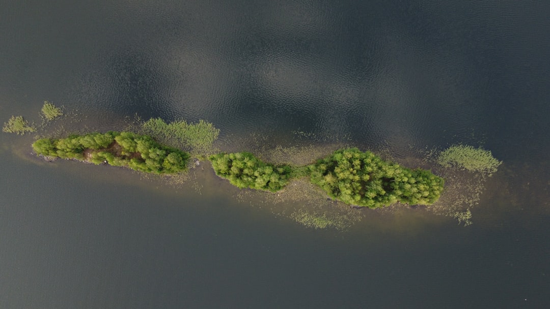
Accurate coastal mapping is paramount for several reasons. First and foremost, it provides essential data for understanding coastal processes such as erosion, sediment transport, and habitat distribution. These processes are influenced by a variety of factors, including wave action, tidal fluctuations, and human activities.
By accurately mapping these dynamics, researchers and policymakers can better predict changes in coastal environments and develop strategies to mitigate adverse impacts. Moreover, accurate coastal mapping plays a crucial role in resource management.
By having precise maps that delineate habitats and resource distributions, stakeholders can make informed decisions that balance economic development with environmental conservation. This balance is increasingly important in light of the challenges posed by climate change, which threatens to alter coastal landscapes and ecosystems dramatically.
Choosing the Right Tools for Coastal Mapping
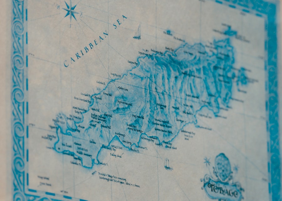
Selecting appropriate tools for coastal mapping is a fundamental step in ensuring the accuracy and reliability of the data collected. Various technologies are available, each with its strengths and weaknesses. Traditional methods such as aerial photography and ground surveys have long been used in coastal mapping; however, advancements in technology have introduced more sophisticated options.
For instance, satellite imagery offers a broad perspective of coastal areas, allowing for large-scale assessments that would be impractical with ground-based methods alone. In addition to satellite imagery, Geographic Information Systems (GIS) have become indispensable in the field of coastal mapping. GIS enables the integration of various data types—such as topographic, hydrological, and ecological information—into a cohesive framework.
This capability allows researchers to analyze spatial relationships and visualize complex data sets effectively. Furthermore, tools like LiDAR (Light Detection and Ranging) provide high-resolution elevation data that can reveal subtle changes in coastal topography, enhancing the overall quality of mapping efforts.
Establishing a Systematic Approach to Coastal Mapping
A systematic approach to coastal mapping is essential for ensuring consistency and reliability in data collection and analysis. This approach typically begins with defining clear objectives that outline the specific goals of the mapping project. Whether the aim is to assess habitat health, monitor erosion rates, or support urban planning initiatives, having well-defined objectives helps guide the entire process.
Once objectives are established, researchers must develop a comprehensive methodology that includes site selection, data collection techniques, and analysis protocols. This methodology should be adaptable to different coastal environments while maintaining rigorous standards for accuracy and precision. By following a systematic approach, researchers can ensure that their findings are robust and can be used effectively in decision-making processes.
Incorporating Data Collection and Analysis in Coastal Mapping
| Metric | Description | Typical Value/Range | Unit | Importance |
|---|---|---|---|---|
| Shoreline Position Accuracy | Precision of the mapped shoreline location relative to true position | ±0.5 to ±2 | meters | High |
| Spatial Resolution | Minimum distinguishable distance between two points on the map | 0.5 to 5 | meters | High |
| Temporal Frequency | Interval between successive coastal mapping surveys | Monthly to annually | time | Medium |
| Vertical Accuracy | Accuracy of elevation or depth measurements along the coast | ±0.1 to ±0.5 | meters | High |
| Data Source | Type of technology used for mapping | LiDAR, Satellite Imagery, UAV, Sonar | N/A | High |
| Mapping Extent | Length of coastline covered in mapping | 1 to 1000+ | kilometers | Variable |
| Data Update Rate | Frequency of data refresh or update in the mapping database | Quarterly to annually | time | Medium |
| Classification Accuracy | Accuracy in identifying coastal features (e.g., beach, marsh, rock) | 85% to 98% | percent | High |
Data collection is a cornerstone of effective coastal mapping. Various methods can be employed to gather data, including field surveys, remote sensing technologies, and citizen science initiatives. Field surveys allow researchers to collect firsthand information about specific sites, while remote sensing technologies provide broader coverage and can capture changes over time.
Citizen science initiatives engage local communities in data collection efforts, fostering a sense of ownership and stewardship over coastal resources. Once data is collected, rigorous analysis is necessary to derive meaningful insights. Statistical methods can be employed to identify trends and patterns within the data, while spatial analysis techniques can reveal relationships between different variables.
The integration of qualitative data—such as local knowledge and community input—can further enrich the analysis process. By combining quantitative and qualitative approaches, researchers can develop a more comprehensive understanding of coastal dynamics.
Overcoming Challenges in Coastal Mapping
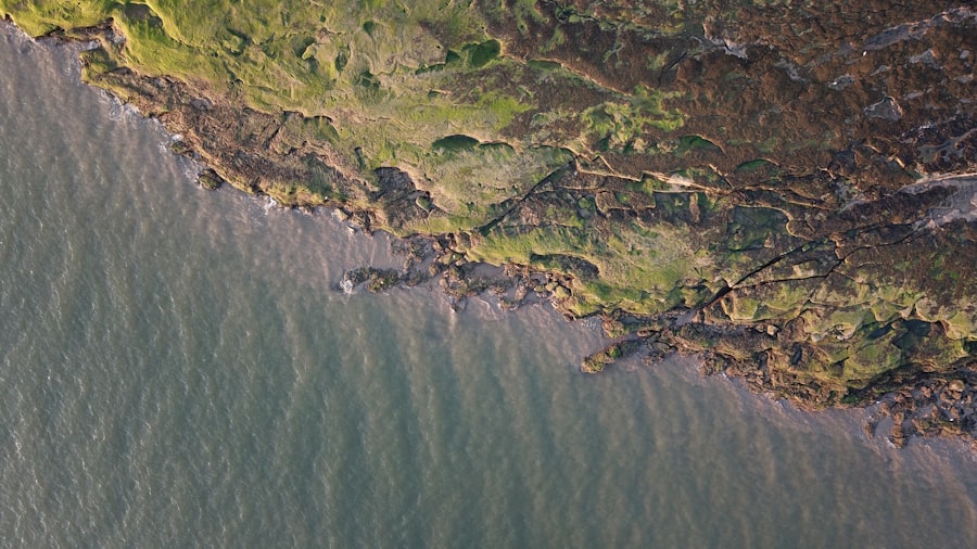
Coastal mapping is not without its challenges. One significant hurdle is the inherent variability of coastal environments. Factors such as changing tides, seasonal weather patterns, and human activities can all influence the accuracy of mapping efforts.
To address these challenges, researchers must adopt flexible methodologies that account for variability while maintaining rigorous standards for data collection. Another challenge lies in the accessibility of certain coastal areas. Some regions may be difficult to reach due to geographical barriers or environmental conditions.
In such cases, innovative solutions such as drone technology or remote sensing can provide valuable alternatives for data collection. By leveraging these technologies, researchers can overcome physical limitations and gather essential information from otherwise inaccessible locations.
Utilizing Technology for Enhanced Coastal Mapping
The integration of technology into coastal mapping practices has revolutionized the field in recent years. Advanced tools such as drones equipped with high-resolution cameras allow for detailed aerial surveys that capture intricate features of coastal landscapes. These unmanned aerial vehicles (UAVs) can cover large areas quickly and efficiently while providing high-quality imagery that enhances mapping accuracy.
Additionally, machine learning algorithms are increasingly being applied to analyze vast datasets generated by remote sensing technologies. These algorithms can identify patterns and anomalies within the data that may not be immediately apparent through traditional analysis methods. By harnessing the power of artificial intelligence, researchers can gain deeper insights into coastal processes and improve predictive modeling capabilities.
Implementing Quality Control Measures in Coastal Mapping
Quality control is an essential component of any disciplined coastal mapping effort. Implementing robust quality control measures ensures that the data collected is accurate, reliable, and suitable for decision-making purposes. This process typically involves establishing standardized protocols for data collection, analysis, and reporting.
Regular calibration of equipment used in data collection is crucial for maintaining accuracy over time. Additionally, conducting peer reviews of methodologies and findings can help identify potential biases or errors in the analysis process. By fostering a culture of transparency and accountability within research teams, organizations can enhance the overall quality of their coastal mapping efforts.
Collaborating with Stakeholders in Coastal Mapping
Collaboration among stakeholders is vital for successful coastal mapping initiatives. Engaging local communities, government agencies, non-profit organizations, and academic institutions fosters a holistic approach to understanding coastal dynamics. Each stakeholder brings unique perspectives and expertise that can enrich the mapping process.
Involving local communities in coastal mapping efforts not only enhances data collection but also promotes stewardship of coastal resources. Community members often possess valuable knowledge about their local environments that can inform research efforts. Furthermore, collaboration with government agencies ensures that mapping initiatives align with regulatory frameworks and policy objectives.
Adhering to Environmental and Regulatory Considerations in Coastal Mapping
Coastal mapping must be conducted with careful consideration of environmental impacts and regulatory requirements. Researchers must adhere to local laws governing land use, environmental protection, and resource management when planning their mapping initiatives. This adherence ensures that mapping efforts do not inadvertently harm sensitive ecosystems or violate legal frameworks.
Moreover, ethical considerations should guide all aspects of coastal mapping practices. Researchers must prioritize transparency in their methodologies and findings while respecting the rights and interests of local communities. By fostering ethical practices within coastal mapping initiatives, researchers can build trust with stakeholders and promote sustainable management of coastal resources.
Continuous Improvement and Adaptation in Coastal Mapping Practices
The field of coastal mapping is constantly evolving due to advancements in technology and changing environmental conditions. As such, continuous improvement and adaptation are essential for maintaining relevance in this dynamic landscape. Researchers must remain open to new methodologies, tools, and collaborative approaches that enhance their understanding of coastal processes.
Regularly reviewing past projects allows researchers to identify lessons learned and areas for improvement in future initiatives. By fostering a culture of innovation within research teams, organizations can stay at the forefront of coastal mapping practices while effectively addressing emerging challenges. In conclusion, disciplined coastal mapping is an essential practice that provides valuable insights into the complex interactions between land and sea.
By understanding its importance, choosing appropriate tools, establishing systematic approaches, incorporating robust data collection methods, overcoming challenges through technology integration, implementing quality control measures, collaborating with stakeholders, adhering to regulatory considerations, and committing to continuous improvement, researchers can contribute significantly to effective coastal management and conservation efforts.
For further insights into the importance of structured approaches in coastal studies, you can read the article on this topic at this link. This resource delves into various methodologies and technologies that enhance the accuracy and reliability of coastal mapping efforts.
WATCH THIS! 🗺️ The Map That Proves Humans Explored Earth 5,000 Years Too Early
FAQs
What is disciplined coastal mapping?
Disciplined coastal mapping is a systematic approach to charting coastal areas using precise methods and technologies to ensure accurate and reliable data collection.
Why is disciplined coastal mapping important?
It is important because it helps in coastal management, navigation safety, environmental monitoring, and disaster preparedness by providing detailed and accurate information about coastal features and changes.
What technologies are used in disciplined coastal mapping?
Common technologies include GPS, LiDAR, sonar, aerial and satellite imagery, and Geographic Information Systems (GIS) for data analysis and visualization.
How often should coastal mapping be updated?
The frequency depends on the rate of coastal change, but updates are typically conducted annually or after significant events like storms or erosion to maintain current and accurate data.
Who conducts disciplined coastal mapping?
It is usually carried out by government agencies, research institutions, environmental organizations, and sometimes private companies specializing in geospatial data.
What are the challenges in disciplined coastal mapping?
Challenges include dealing with dynamic coastal environments, weather conditions, data accuracy, high costs, and integrating data from multiple sources.
How does disciplined coastal mapping benefit environmental conservation?
It helps monitor habitat changes, assess the impact of human activities, guide restoration projects, and support sustainable coastal development.
Can disciplined coastal mapping help in disaster management?
Yes, it provides critical information for flood risk assessment, evacuation planning, and post-disaster damage evaluation, enhancing community resilience.
Is disciplined coastal mapping accessible to the public?
Many coastal maps and data sets are publicly available through government portals and research databases, promoting transparency and community engagement.
What skills are required for professionals in disciplined coastal mapping?
Professionals need expertise in geospatial technologies, data analysis, environmental science, and often fieldwork skills to collect and interpret coastal data accurately.