The Earth’s climate is a dynamic and ever-changing system, subject to prolonged periods of warming and cooling. Among the most dramatic of these shifts were the glacial periods, epochs characterized by vast ice sheets and significantly altered global landscapes. The Last Glacial Maximum (LGM), a period of profound climatic transition, stands as a stark testament to the planet’s capacity for dramatic change. This era, approximately 26,500 to 19,000 years ago, witnessed the apex of ice sheet expansion and a consequential plummet in sea levels, reshaping coastlines and influencing the distribution of life across continents. Understanding the LGM provides crucial insights into the mechanisms of climate change, the resilience of ecosystems, and the migratory patterns of early human populations.
The Architects of Ice: The Formation and Extent of Glacial Sheets
The immense scale of ice accumulation during the Last Glacial Maximum was the defining feature of this period. These colossal frozen masses, far exceeding any contemporary glaciers, sculpted the very bedrock of continents and exerted a profound influence on global climate. Their formation was a complex interplay of atmospheric conditions, orbital mechanics, and feedback loops, culminating in a world dominated by ice.
Orbital Forcing: The Subtle Hand of Astronomy
The primary driver behind the onset and progression of glacial-glacial cycles, including the LGM, lies in the subtle variations of Earth’s orbit around the Sun. These variations, known as Milankovitch cycles, influence the amount and distribution of solar radiation reaching different parts of the planet. Specifically, changes in Earth’s axial tilt (obliquity), the shape of its orbit (eccentricity), and its wobble (precession) alter the intensity and seasonality of sunlight. During glacial periods, these orbital parameters aligned in a way that favored cooler summers in the Northern Hemisphere. Less snow melted during these cooler summers, allowing snow accumulation to build up year after year. This persistent snowpack, under immense pressure, compacted and transformed into glacial ice. The feedback mechanisms kicked in as the ice itself began to influence climate.
Feedback Loops: Amplifying the Chill
Once ice sheets began to form, a powerful series of feedback loops amplified the cooling trend. Albedo, the reflectivity of a surface, is a key factor. Ice and snow are highly reflective, meaning they bounce a significant portion of incoming solar radiation back into space. As the ice sheets expanded, they covered vast swathes of land and ocean, increasing the Earth’s overall albedo. This reduced the amount of solar energy absorbed by the planet, leading to further cooling and enabling even more ice to accumulate. Furthermore, as temperatures dropped, the atmosphere could hold less water vapor. Water vapor is a potent greenhouse gas, so its reduction further diminished the planet’s ability to trap heat, accelerating the cooling process. The oceans, too, played a role. Cooler ocean waters absorbed more atmospheric carbon dioxide, a crucial greenhouse gas, further contributing to a colder climate.
Geographic Reach: A Frozen Landscape
The geographical extent of the ice sheets during the LGM was truly staggering. In North America, the Laurentide Ice Sheet covered most of Canada and extended deep into the northern United States, reaching as far south as the Missouri and Ohio Rivers. This colossal ice mass was thousands of meters thick in places, its immense weight pressing down on the continental crust. Similarly, the Fennoscandian Ice Sheet dominated northern Europe, engulfing Scandinavia, the Baltic regions, and extending into parts of northern Germany and Poland. In mountainous regions, ice caps and glaciers expanded considerably. The Alps, for instance, were significantly larger, with outlet glaciers reaching into the surrounding lowlands. Even in the Southern Hemisphere, ice accumulated, though to a lesser extent than in the north. Ice caps covered parts of Patagonia and Tasmania, and the Antarctic Ice Sheet, while already vast, likely experienced some expansion around its margins. These ice sheets were not static entities; they advanced and retreated over millennia, but at the LGM, they reached their maximum extent, shaping landscapes with their erosive power.
During the Last Glacial Maximum, approximately 26,500 years ago, vast ice sheets covered significant portions of North America and Eurasia, dramatically altering the landscape and climate. This period not only impacted the flora and fauna but also influenced human migration patterns as early humans adapted to the harsh conditions. For a deeper understanding of how historical shifts can affect modern economic strategies, you might find it interesting to read about the implications of nearshoring for U.S. companies in the article available at Maximizing Benefits of Nearshoring for U.S. Companies.
The Vanishing Waters: Sea Levels in a Frozen World
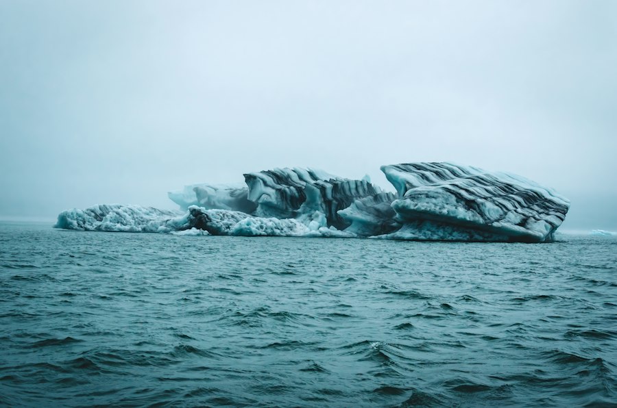
The immense volume of water locked away in the continental ice sheets during the Last Glacial Maximum had a direct and dramatic consequence: a significant drop in global sea levels. This phenomenon fundamentally altered coastlines, exposed new land bridges, and had profound implications for both marine and terrestrial ecosystems.
Ice as a Water Sink: The Global Depletion
The most straightforward explanation for the dramatic drop in sea level is the simple accounting of water. The formation of the massive ice sheets required an enormous quantity of water, which was drawn directly from the world’s oceans. Glaciers and ice sheets are essentially reservoirs of frozen freshwater. As these reservoirs grew to their LGM peak, an unprecedented amount of the Earth’s water was sequestered on land. Scientific estimates suggest that global sea levels may have been as much as 120 to 130 meters (approximately 400 feet) lower than they are today. This vast depletion of oceanic water led to a dramatic reshaping of the planet’s hydrography.
Exposed Continental Shelves: A New Landscape Emerges
The most striking consequence of lowered sea levels was the exposure of continental shelves. These submerged regions, which lie at the edge of continents and are typically covered by relatively shallow ocean water, became dry land. This created vast new expanses of territory, effectively merging landmasses that are now separated by considerable stretches of ocean. The most significant and widely discussed example is Beringia, the land bridge that connected Siberia and Alaska across what is now the Bering Strait. This broad, steppe-like plain was a crucial corridor for the migration of both animals and humans between Asia and North America. Similarly, many islands that are now isolated were once connected to larger landmasses. The North Sea, for example, was a vast, ice-free tundra landscape known as Doggerland, connecting Britain to mainland Europe. The exposure of these shelves not only altered geography but also revealed new terrestrial ecosystems that thrived in the colder, drier conditions.
Marine Ecosystems Under Stress: Adapting to a Drier Ocean
The dramatic reduction in sea volume and the altered coastline had significant impacts on marine ecosystems. The shallower oceans became warmer in some areas due to increased exposure to solar radiation, while the overall reduction in ocean surface area likely affected ocean currents and nutrient distribution. Many marine organisms that are adapted to specific depths and salinity levels would have faced considerable challenges. Coastal habitats, such as mangrove forests and coral reefs, would have retreated significantly or disappeared altogether in many regions as the shoreline moved far inland. Organisms that relied on the extensive continental shelves for spawning or foraging would have had their habitats drastically reduced. While some species would have adapted to the new conditions, others may have experienced significant population declines or even local extinctions. The changes in ocean circulation, driven by altered coastlines and temperature gradients, would have further impacted marine life.
Life on the Edge: Human Migrations and Adaptations
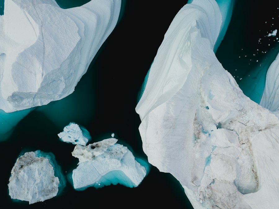
The dramatic environmental shifts of the Last Glacial Maximum profoundly influenced the lives and movements of early human populations. The altered geography, the availability of new resources, and the challenges posed by a colder climate all played a role in shaping human migration patterns and adaptations.
The Beringia Connection: A Gateway to the Americas
The exposed land bridge of Beringia represents one of the most significant geographical features for understanding early human migration. As sea levels dropped, this vast region, potentially hundreds of kilometers wide, provided a terrestrial corridor between Northeast Asia and North America. It is widely accepted that human populations, following game animals, crossed Beringia during the LGM, eventually populating the Americas. The timing of these migrations is a subject of ongoing research, but evidence suggests that humans were present in the Americas well before the end of the LGM. The environmental conditions on Beringia itself are also a topic of study; while often depicted as a barren ice waste, evidence suggests it may have supported a surprisingly rich tundra ecosystem, capable of sustaining both large herbivores and the human hunters who pursued them. The existence and eventual submergence of Beringia highlight the dynamic nature of coastlines and the opportunities and challenges they present for human dispersal.
Adapting to the Cold: Survival Strategies
Surviving in the harsh, cold environments of the LGM required significant ingenuity and adaptation. Early humans developed sophisticated technologies and social strategies to cope with the challenging conditions. This included the development of specialized clothing made from animal hides to provide insulation. The construction of more substantial shelters, often utilizing natural features like caves or constructing semi-subterranean dwellings, offered protection from the elements. The mastery of fire was undoubtedly crucial for warmth, cooking, and protection from predators. Hunting large game animals, such as mammoths, woolly rhinoceros, and bison, was a primary source of food, fuel, and materials. This required advanced hunting techniques, including the use of projectile weapons like spears and later, bows and arrows. The social organization of hunter-gatherer groups likely became more important for coordinated hunting efforts, resource sharing, and mutual defense in a landscape where resources could be scarce and unpredictable.
Resource Abundance and Scarcity: A Shifting Landscape of Opportunity
The LGM presented a landscape of both extreme scarcity and localized abundance. While ice sheets covered vast areas, the exposed continental shelves and the extensive tundra regions offered new habitats and resources. Large herbivores thrived in these environments, providing a significant food source for human hunters. The availability of freshwater, though potentially locked up in glaciers, would have been present in rivers and lakes, particularly in ice-free refugia. However, resource distribution was likely patchy and unpredictable. Communities would have needed to be mobile, following animal herds and seasonal availability of plant resources. The reduced biodiversity in many regions, due to the cold and the dominance of ice, may have also presented challenges, requiring reliance on a narrower range of food sources. Understanding these shifts in resource availability is key to reconstructing the subsistence strategies and territorial ranges of LGM human populations.
The Rewriting of Geography: Sculpting the Land and Shaping the Future
The sheer scale of ice accumulation and the subsequent melting during and after the Last Glacial Maximum left an indelible mark on the Earth’s surface. The forces of glaciation reshaped landscapes, creating iconic geological features that continue to define our planet.
Glacial Erosion: A Sculpting Powerhouse
The immense weight and slow, relentless movement of glacial ice acted as a powerful erosional force, fundamentally altering the topography of glaciated regions. As glaciers flowed downhill, they scraped, abraded, and plucked rock from the underlying bedrock. This process carved out U-shaped valleys, a characteristic feature of glaciated mountain ranges, in contrast to the V-shaped valleys carved by rivers. The grinding action of rocks embedded in the ice produced fine sediment known as glacial flour, which can contribute to the distinctive turquoise color of some glacial lakes. Glaciers also carved out cirques, bowl-shaped depressions at the heads of valleys, and arêtes, sharp, knife-edge ridges formed where two cirques meet. Fjords, deep, steep-sided inlets formed when glaciers carve out valleys that extend below sea level, are another dramatic testament to glacial erosion, particularly prominent in Norway, Chile, and New Zealand.
Deposition and Landforms: The Legacy of Meltwater
As the glaciers of the LGM began to retreat, they deposited the vast quantities of sediment they had carried. This glacial till, a heterogeneous mixture of clay, sand, gravel, and boulders, formed a variety of distinctive landforms. Moraines, ridges of till deposited at the edges or terminus of a glacier, mark the farthest extent of ice advance. Terminal moraines are particularly prominent, often forming arc-shaped ridges that delineate the maximum reach of the ice sheet. Lateral moraines are found along the sides of valleys, and ground moraines form a blanket of till across the landscape. Meltwater streams flowing from retreating glaciers also played a significant role in shaping the landscape, depositing sorted sediments to form outwash plains, eskers (long, winding ridges of sand and gravel deposited by meltwater streams flowing within or beneath the ice), and kames (irregular mounds or conical hills of sand and gravel). Kettle lakes formed in depressions left by buried blocks of ice that melted after the glacier retreated.
Isostatic Rebound: The Earth’s Slow Recovery
The immense weight of the LGM ice sheets had a profound effect on the Earth’s crust, causing it to sag under the colossal pressure. This phenomenon is known as isostatic depression. As the ice melted and the weight was removed, the land began to slowly rebound, a process called isostatic rebound or glacial isostatic adjustment. This uplift is still occurring in many regions that were once covered by ice, such as Scandinavia and Canada. The rate of rebound varies depending on the thickness of the ice sheet and the properties of the Earth’s mantle. This slow, ongoing geological process continues to subtly alter coastlines and influence geological activity in formerly glaciated areas. The evidence of isostatic rebound is visible in raised beaches and shorelines that are now found at considerable elevations above present-day sea level.
During the Last Glacial Maximum, vast ice sheets covered significant portions of the Northern Hemisphere, profoundly impacting both the environment and human populations. This period not only shaped the landscape but also influenced social structures and migration patterns. For a deeper understanding of how ancient societies adapted to environmental changes, you can explore an insightful article on social dynamics in historical contexts at uncovering social fractures in ancient cities. This connection highlights the resilience of human communities in the face of climatic challenges.
Echoes of the Past: Lessons from the Last Glacial Maximum
| Aspect | Description | Data / Metrics |
|---|---|---|
| Time Period | Last Glacial Maximum (LGM) | Approximately 26,500 to 19,000 years ago |
| Global Temperature | Average global temperature decrease compared to present | About 4-7°C cooler |
| Ice Sheet Coverage | Extent of continental ice sheets | Covered ~30% of Earth’s land surface, including North America, Northern Europe, and Asia |
| Sea Level | Global sea level change due to ice volume | Approximately 120 meters lower than present |
| Atmospheric CO2 | Concentration of carbon dioxide in the atmosphere | About 180-190 ppm (parts per million) |
| Vegetation | Dominant vegetation types and distribution | Expansion of tundra and steppe; reduction of forests |
| Human Migration | Impact on human populations and migration routes | Land bridges exposed (e.g., Bering Land Bridge), facilitating migration to Americas |
| Precipitation | Changes in global precipitation patterns | Generally drier conditions in many regions |
The Last Glacial Maximum, a period of dramatic climatic and geological transformation, offers invaluable insights into the Earth’s past, its inherent variability, and its capacity for profound change. Studying this epoch provides a crucial lens through which to understand the complex interactions of Earth systems and the long-term consequences of climatic shifts.
Understanding Climate Variability: A Natural Laboratory
The LGM serves as a powerful reminder of Earth’s natural capacity for significant climatic fluctuations. The transition from a glacial period to an interglacial period, such as the one we currently inhabit, involves complex feedback mechanisms and a substantial redistribution of heat and water across the planet. By studying the causes and consequences of the LGM, scientists can refine climate models, better understand the role of orbital forcing, greenhouse gases, and albedo in driving climate change. This historical perspective allows for a more nuanced understanding of future climate projections, providing a benchmark against which to assess the pace and scale of contemporary warming. The LGM demonstrates that Earth’s climate is not static and that substantial shifts can occur over geological timescales.
Predicting Future Sea Level Rise: Lessons from the Melt
The dramatic drop in sea levels during the LGM, followed by a significant rise as the ice melted, offers crucial lessons for understanding and predicting future sea level change. The vast quantities of water stored in ice sheets represent a significant potential for future sea level rise as global temperatures increase. By studying the rate of sea level rise during the deglaciation period following the LGM, scientists can gain a better understanding of the potential timescales and magnitudes of future sea level changes. The exposed continental shelves and the subsequent inundation of these areas provide a tangible example of how significant sea level fluctuations can alter coastlines and impact human settlements. This historical perspective underscores the urgent need to mitigate greenhouse gas emissions to limit the extent of future ice melt and subsequent sea level rise.
Human Resilience and Adaptation: A Story of Survival
The story of human survival and migration during the Last Glacial Maximum is a testament to the remarkable resilience and adaptability of our species. Early humans faced unprecedented environmental challenges, yet they developed innovative technologies, complex social structures, and sophisticated survival strategies that allowed them to not only endure but to thrive and expand across the globe. Studying their adaptations provides valuable lessons about resourcefulness, ingenuity, and the capacity of human societies to respond to environmental pressures. The migrations that occurred during this period laid the foundation for the diverse human populations that inhabit the Earth today. The challenges faced and overcome by our ancestors during this epoch offer an inspiring narrative of human perseverance in the face of a dynamic and often unforgiving planet. The Last Glacial Maximum, therefore, is not merely a chapter in Earth’s geological history; it is a profound lesson in the interconnectedness of our planet’s systems and the enduring spirit of life.
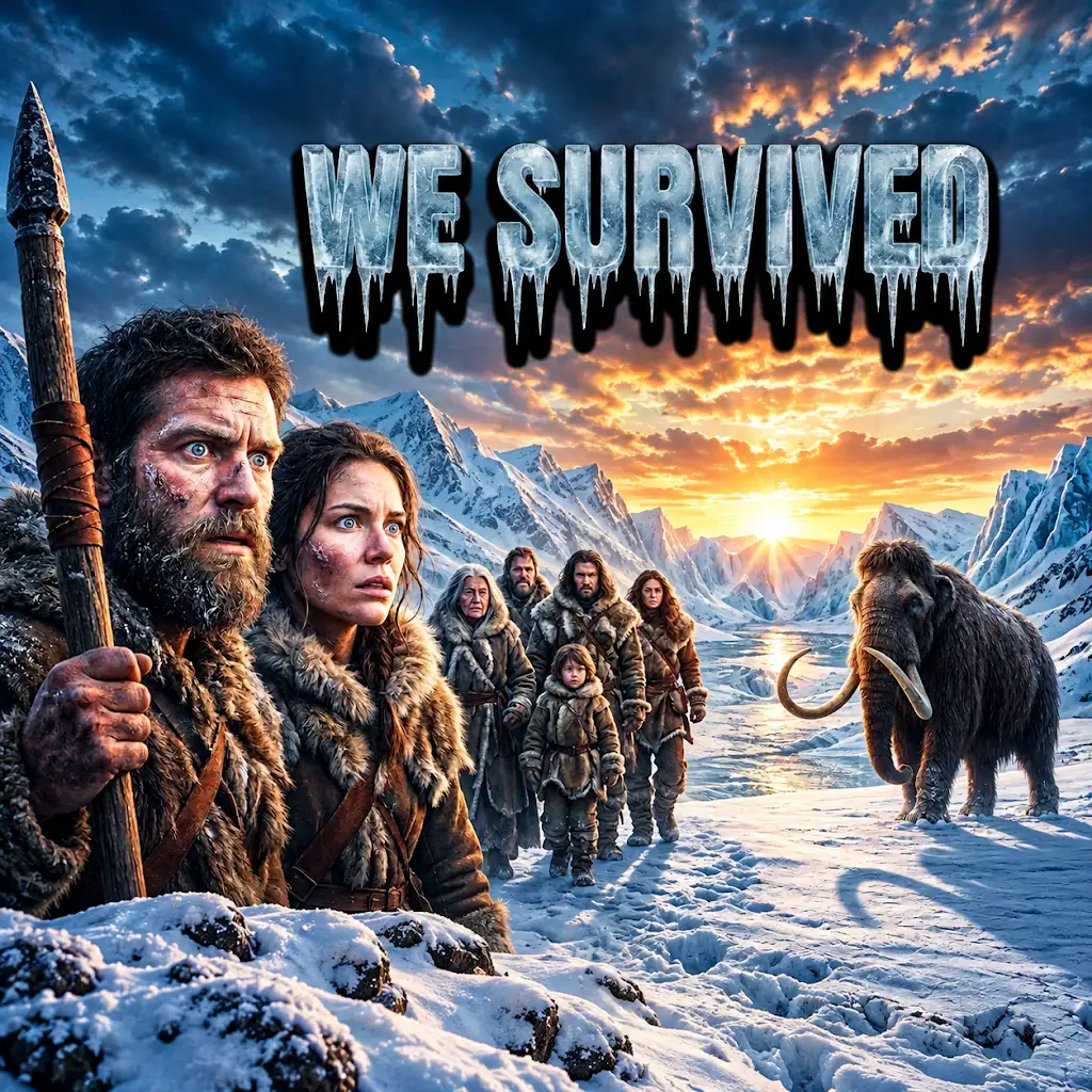
20,000 Years Ago | The Coldest Journey in Human History
FAQs
1. What was the Last Glacial Maximum?
The Last Glacial Maximum (LGM) was a period of the most recent glacial advance when ice sheets were at their greatest extent during the last ice age, approximately 26,500 to 19,000 years ago.
2. How did the Last Glacial Maximum impact sea levels?
During the Last Glacial Maximum, global sea levels were about 130 meters lower than they are today due to the large amount of water being locked up in ice sheets and glaciers.
3. What were the environmental conditions like during the Last Glacial Maximum?
During the Last Glacial Maximum, the Earth’s climate was much colder and drier, with vast ice sheets covering large portions of North America, Europe, and Asia. Many regions experienced harsh conditions and extensive permafrost.
4. How did human populations adapt during the Last Glacial Maximum?
Human populations during the Last Glacial Maximum adapted by developing new technologies, such as tailored clothing, shelters, and tools, to survive in the challenging glacial environment. They also migrated to more hospitable regions.
5. What evidence do scientists use to study the Last Glacial Maximum?
Scientists study the Last Glacial Maximum using various sources of evidence, including ice core samples, sediment records, fossil pollen, and geological data, to reconstruct past climates and understand the environmental changes that occurred during this period.