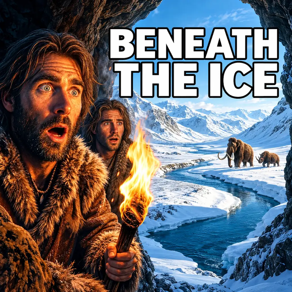
The Earth, in its long and dynamic history, has experienced periods of intense cold and vast glaciation. Among these, the Last Glacial Period, often colloquially referred to as the “Ice Age,” stands out as a time of dramatic climatic shifts, profoundly shaping the planet’s landscapes and influencing the trajectory of life, including early human evolution. This epoch, characterized by harsh, frigid conditions and the immense spread of continental ice sheets, presented a formidable challenge to all living organisms, forcing adaptation, migration, and in some cases, extinction.
The Frozen Canopy: Ice Sheet Dynamics and Their Global Reach
The defining feature of the Last Glacial Period was the presence of colossal ice sheets, vast expanses of accumulated snow and ice that covered significant portions of the Northern Hemisphere. These frozen monoliths were not merely static blankets; they were dynamic geological forces, constantly growing, advancing, and receding in response to intricate climatic feedbacks. Understanding their formation, extent, and eventual demise is crucial to grasping the full scope of this frigid era.
Genesis of the Giants: Snow Accumulation and Glacial Growth
The initial trigger for the formation of these immense ice sheets is believed to be a combination of astronomical cycles and atmospheric composition. Subtle variations in Earth’s orbit, known as Milankovitch cycles, influence the amount of solar radiation reaching different parts of the globe. During glacial periods, these cycles resulted in cooler summers in the Northern Hemisphere, preventing the complete melting of winter snow. Over thousands of years, this persistent snow accumulation began to compress under its own weight. The lower layers of snow transformed into granular ice (firn), and eventually, under immense pressure, into solid glacial ice.
As the ice thickened, its own immense weight caused it to spread outwards. Gravity played a significant role, with the ice flowing like a very viscous fluid from higher elevations towards lower ones. This outward movement, known as glacial flow, was the engine that drove the expansion of the ice sheets. Areas that received consistently more snowfall and experienced lower temperatures were more conducive to glacial growth. Major centers of ice accumulation included North America, where the Laurentide Ice Sheet formed, and Scandinavia and northern Europe, which were largely covered by the Fennoscandian Ice Sheet. These ice sheets were not uniform; they had central domes of greatest thickness and complex patterns of ice flow, often influenced by the underlying topography.
The Great White Mantle: Extent and Thickness of Ice Sheets
At their peak, approximately 20,000 years ago, the ice sheets of the Last Glacial Period reached awe-inspiring proportions. The Laurentide Ice Sheet covered all of Canada and extended south into the northern United States, reaching as far as the Missouri and Ohio Rivers. The Fennoscandian Ice Sheet enveloped Scandinavia, parts of northwestern Russia, and the British Isles. Smaller ice caps also existed in mountainous regions worldwide, such as the Alps and the Himalayas.
The sheer thickness of these ice sheets was remarkable, often exceeding several kilometers. In the central regions of the Laurentide and Fennoscandian Ice Sheets, the ice could be over 3,000 meters (nearly 10,000 feet) thick. This immense weight exerted tremendous pressure on the Earth’s crust, causing it to subside under the load. This phenomenon, known as glacial isostasy, has long-lasting geological consequences that are still observable today in areas that were once covered by thick ice. The ice sheets also sculpted the landscape beneath them, carving out U-shaped valleys, fjords, and vast moraines composed of glacial debris.
Climate Feedback Loops: The Snow-Albedo Effect and its Consequences
The presence of these vast ice sheets had profound and far-reaching effects on global climate, primarily through the phenomenon of the snow-albedo feedback. Albedo refers to the reflectivity of a surface. Snow and ice have a very high albedo, meaning they reflect a large proportion of incoming solar radiation back into space. In contrast, darker surfaces like bare ground or open water absorb more solar energy.
During the Last Glacial Period, the extensive snow and ice cover significantly increased Earth’s overall albedo. This meant that less solar energy was absorbed by the planet, leading to further cooling. This created a powerful positive feedback loop: cooler temperatures led to more snow and ice, which increased albedo, which further reduced solar energy absorption, leading to even cooler temperatures and more ice formation. This self-reinforcing cycle helped to maintain the frigid conditions and sustain the growth of the ice sheets for millennia. This feedback loop also meant that as the ice began to melt, the opposite effect took hold: exposed darker surfaces absorbed more solar radiation, accelerating the warming process and the retreat of the ice.
The last glacial period, which lasted from approximately 115,000 to 11,700 years ago, significantly shaped the Earth’s environment, leading to drastic changes in climate, vegetation, and animal habitats. Understanding these conditions is crucial for comprehending the evolution of human societies during that time. For a deeper exploration of how ancient civilizations may have adapted to such environmental challenges, you can read the article on uncovering evidence of a lost advanced civilization at this link.
A World Transformed: Landscapes Shaped by Ice and Cold

The immense power of glaciers was a relentless sculptor of the Earth’s surface during the Last Glacial Period. As these colossal rivers of ice advanced and retreated, they dramatically reshaped topography, creating distinctive landforms that are still evident across vast swathes of the planet today. The impact of glaciation extended far beyond the immediate vicinity of the ice, influencing sea levels, drainage patterns, and even geological processes.
Sculpting the Earth: Glacial Erosion and Deposition
The abrasive action of ice, laden with rock fragments and debris, was a primary mechanism of glacial erosion. As the ice sheets flowed over the land, they scraped and ground away bedrock, carving out deep valleys and basins. Sharp, jagged peaks were rounded, and existing river valleys were transformed into characteristic U-shaped troughs. The immense pressure and the sheer volume of ice allowed glaciers to move even the largest boulders, transporting them for hundreds of kilometers before depositing them.
When the ice sheets eventually melted, they left behind vast quantities of sediment, known as glacial till. This till was deposited in various forms, creating a diverse range of landforms. Terminal moraines, accumulations of debris at the furthest extent of glacial advance, often form distinctive arc-shaped ridges. Lateral moraines are found along the sides of former glacial valleys, and ground moraines form widespread, undulating plains of deposited till. Meltwater streams, carrying sediment from the retreating ice, also played a crucial role, forming outwash plains and eskers – long, winding ridges of sand and gravel deposited by subglacial rivers. Kettle lakes, formed by the melting of isolated blocks of ice buried in till, are also a common feature of glaciated landscapes.
The Shifting Seas: Sea Level Fluctuations and Exposed Continental Shelves
One of the most significant global consequences of the vast ice sheets was the dramatic reduction in sea level. During the peak of the Last Glacial Period, an estimated 60 million cubic kilometers of water was locked up in continental ice sheets. This massive sequestration of water from the oceans caused global sea levels to drop by as much as 120 meters (approximately 400 feet) below present levels.
This dramatic drop in sea level had profound implications for coastal regions and landmass connectivity. Vast areas of what are now continental shelves were exposed, creating land bridges that connected continents and islands. The English Channel, for instance, was a dry valley, and the North Sea was a terrestrial landscape. Beringia, the land bridge between Siberia and Alaska, was a wide expanse of tundra and steppe, allowing for the migration of animals and, crucially, early humans between Asia and North America. The reduced volume of water in the oceans also led to less pressure on the Earth’s crust in oceanic regions, contributing to a slight rebound in formerly glaciated areas.
Altered Drainage Systems: Rivers Re-routed and Lakes Formed
The advance and retreat of ice sheets profoundly disrupted and re-routed existing river systems. As glaciers advanced, they dammed rivers, creating vast proglacial lakes that could persist for centuries. These lakes were often short-lived, prone to catastrophic outbursts when the ice dam eventually failed, releasing enormous floods. The formation and subsequent draining of these glacial lakes left behind characteristic features such as varved sediments (layers of sediment deposited annually in lakes) and ancient shorelines.
In areas where glaciers covered the land, the post-glacial landscape was often pockmarked with depressions and irregularities, leading to the formation of countless new lakes as meltwater filled these basins. The Great Lakes of North America, for example, are a direct legacy of glacial action, carved out by the Laurentide Ice Sheet and subsequently filled with meltwater. Even in areas not directly covered by ice, changes in precipitation patterns and the freezing and thawing cycles influenced river flow and the development of ephemeral streams and wetlands.
The Struggle for Survival: Life Adapting to Extreme Cold
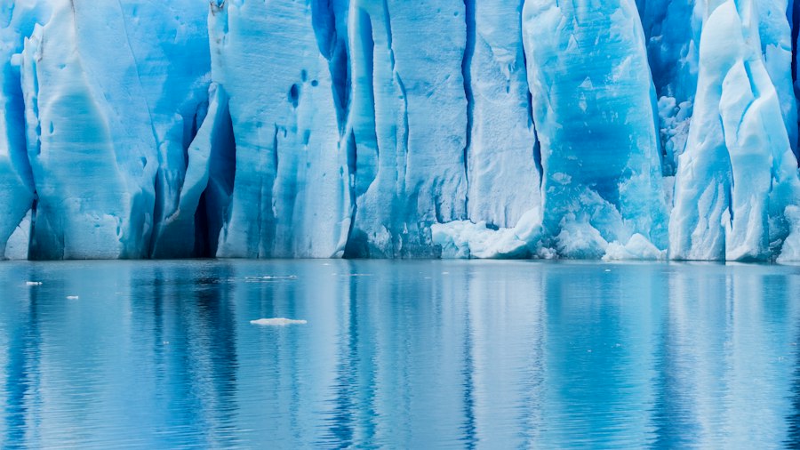
The harsh, frigid conditions of the Last Glacial Period presented an extraordinary evolutionary crucible for life on Earth. Vast swathes of the planet were rendered inhospitable, forcing organisms to adapt in remarkable ways or face extinction. This period of intense cold drove significant shifts in biodiversity, migration patterns, and the development of unique survival strategies.
Flora in a Frozen World: Tundra, Steppe, and Boreal Forests
Plant life underwent dramatic transformations. The temperate forests that characterize much of the world today were pushed southwards or replaced by more resilient ecosystems. In the regions adjacent to the ice sheets, vast expanses of treeless tundra emerged. These cold-tolerant environments were dominated by low-growing vegetation such as mosses, lichens, sedges, grasses, and dwarf shrubs, all adapted to survive short growing seasons, permafrost (permanently frozen ground), and harsh winds.
Further south, and in more continental interiors, extensive grasslands and steppe environments flourished. These open landscapes were rich in grasses and forbs, supporting large populations of grazing herbivores. In some areas, boreal forests, characterized by coniferous trees like pines, spruces, and firs, managed to survive in more southerly latitudes or in sheltered valleys, offering some refuge for forest-dwelling species. The distribution of these plant communities was directly dictated by the extent of the ice sheets, temperature gradients, and precipitation patterns.
Fauna’s Frozen Footprints: Megafauna and Migratory Patterns
The animal kingdom responded to the glacial environment with a mix of adaptation and migration. Many species that thrive in cold climates today, such as reindeer, wolves, and arctic foxes, likely expanded their ranges significantly. However, it was the Pleistocene megafauna – large mammals that roamed the Earth during this era – that are most emblematic of glacial period life.
Mammoths, woolly rhinoceroses, cave bears, and giant ground sloths were well-adapted to the cold with thick fur coats and subcutaneous fat layers. Their large body sizes also helped them to conserve heat (Bergmann’s Rule). These animals were often herbivores, feeding on the abundant grasses and sedges of the tundra and steppe. Their migrations were dictated by the availability of food and the changing seasons, often following vast territories in search of sustenance. However, many of these iconic megafauna species would eventually face extinction at the end of the Last Glacial Period, a topic of ongoing scientific debate involving climate change and potential human influence.
Prehistoric Humans in a Chilly Realm: Survival Strategies and Migrations
The Last Glacial Period was a critical time for early human evolution and dispersal. Hominin species, including Homo sapiens, had to contend with extreme cold, limited resources, and a dramatically altered landscape. Survival depended on a suite of innovations and adaptations.
The development of more sophisticated stone tools allowed for more efficient hunting and processing of animals. The mastery of fire was crucial for warmth, cooking, and protection from predators. The creation of warm, durable clothing from animal hides provided essential insulation against the frigid temperatures. Humans also likely formed more cohesive social groups, facilitating cooperation in hunting and sharing of resources.
The exposed land bridges, particularly Beringia, played a pivotal role in human migration. Early humans, likely following game animals, crossed from Asia into North America, marking a significant expansion of the human range. Evidence from archaeological sites across Eurasia and the Americas provides glimpses into the lives of these resilient ancestors, revealing their hunting strategies, tool technologies, and adaptation to diverse glacial environments. These prehistoric populations were not static; they were dynamic groups constantly adapting to the ever-changing environmental conditions.
The Echoes of Ice: Post-Glacial Transitions and Lasting Legacies
The conclusion of the Last Glacial Period, a gradual process that unfolded over thousands of years, ushered in a new era of warming and significant environmental change. While the immediate effects were dramatic, the retreat of the ice sheets left behind a landscape permanently altered, with consequences that continue to shape our planet and influence human history. The transition from a glacial to an interglacial world was not a sudden flip of a switch but a complex series of shifts.
The Great Thaw: Rapid Warming and Ice Sheet Retreat
As Milankovitch cycles shifted and atmospheric greenhouse gas concentrations began to rise (partly due to natural processes and later influenced by human activity), the Earth’s climate began to warm. This warming led to the accelerated melting of the vast ice sheets. The process of deglaciation was not uniform; it occurred in pulses, with periods of rapid melting interspersed with temporary cooling events.
The melting of the ice sheets released enormous quantities of freshwater into the oceans, leading to a rapid rise in global sea levels. This inundation of coastal areas transformed coastlines, submerged land bridges, and fundamentally altered the geography of continents. The immense weight of the ice had also compressed the Earth’s crust; as the ice melted, the land began to rebound in a process known as isostatic rebound, a slow but significant geological adjustment that continues in some regions to this day. The vast amounts of meltwater also created new drainage systems and reshaped river courses, contributing to the formation of many of the lakes and wetlands we see today.
Reshaping the Biosphere: New Habitats and Extinctions
The warming climate and rising sea levels triggered profound changes in ecosystems worldwide. As the ice retreated, new habitats opened up, allowing plant and animal communities to recolonize vast areas. Temperate forests began to expand their range northwards, replacing the cold-adapted tundra and steppe. Different species migrated and adapted to these new conditions, leading to shifts in biodiversity.
However, this period of rapid change was also accompanied by significant extinctions. Many of the Pleistocene megafauna, already stressed by environmental shifts and potentially by human hunting pressures, were unable to adapt quickly enough to the changing climate and habitat. The extinction of these large mammals had cascading effects on ecosystems, altering predator-prey dynamics and the dispersal of plant seeds. The faunal composition of many regions shifted dramatically, setting the stage for the biodiversity we recognize today.
Human Civilization and the Dawn of the Holocene
The end of the Last Glacial Period marked the beginning of the Holocene epoch, the current geological period characterized by relatively stable and warmer climates. This transition had a profound impact on the development of human civilization. The warming climate and the increased availability of fertile land, particularly in areas that were previously covered by ice, facilitated the transition from nomadic hunter-gatherer lifestyles to settled agriculture.
The availability of new resources and the more predictable climate allowed for the growth of human populations, the development of permanent settlements, and the rise of complex societies. The post-glacial landscape, with its newly formed lakes and rivers, provided essential water resources for agriculture and transportation. The legacies of the Last Glacial Period are still visible in our landscapes, our geology, and in the very trajectory of human history, reminding us of the planet’s capacity for dramatic change and the resilience of life in the face of extreme conditions.
The last glacial period, characterized by extensive ice sheets and drastically altered ecosystems, had profound effects on both flora and fauna, shaping the environment in ways that are still being studied today. Understanding these ancient conditions can provide valuable insights into how early human civilizations adapted to their surroundings. For instance, the techniques used by ancient societies to survive harsh climates can be seen in the article about surviving drought, which highlights various methods that were employed to cope with environmental challenges. You can read more about these fascinating strategies in the article surviving drought.
Scientific Tools for Peering into the Frozen Past
| Parameter | Value/Condition | Unit | Notes |
|---|---|---|---|
| Time Period | 115,000 – 11,700 | years ago | Duration of the Last Glacial Period |
| Global Temperature Anomaly | -4 to -7 | °C | Compared to pre-industrial levels |
| Ice Sheet Coverage | ~30 | % of Earth’s surface | Maximum extent during Last Glacial Maximum |
| Sea Level | 120 | meters below present | Due to water locked in ice sheets |
| Atmospheric CO2 Concentration | 180 – 200 | ppm | Lower than current levels (~420 ppm) |
| Vegetation Zones | Shifted equatorward | N/A | Forests replaced by tundra and steppe in many regions |
| Average Annual Precipitation | Reduced by 10-30% | % | Varied regionally, generally drier conditions |
| Dust Concentration in Atmosphere | Increased 2-5 times | Relative to Holocene | Indicative of drier and windier conditions |
Reconstructing the conditions of the Last Glacial Period, a time that predates written records and extensive human observation, relies heavily on a variety of scientific disciplines and sophisticated analytical techniques. Paleoclimatologists, geologists, biologists, and archaeologists work collaboratively, piecing together a remarkable picture of this distant, frigid era through indirect evidence preserved in the Earth’s archives.
Ice Cores: Frozen Libraries of Past Climates
One of the most powerful tools for understanding past climates is the analysis of ice cores. These long cylinders of ice, extracted from deep within glaciers and ice sheets, particularly in Greenland and Antarctica, contain trapped air bubbles and layers of dust and volcanic ash that act as invaluable historical records. The air bubbles, compressed over millennia, provide samples of the Earth’s atmosphere from past eras, allowing scientists to directly measure concentrations of greenhouse gases like carbon dioxide and methane.
The isotopic composition of the ice itself, particularly the ratio of oxygen isotopes, serves as a proxy for past temperatures. Warmer periods result in a higher proportion of heavier oxygen isotopes, while colder periods show a greater abundance of lighter isotopes. By analyzing ice cores from different depths, scientists can construct detailed temperature records spanning hundreds of thousands of years, clearly delineating the glacial and interglacial cycles, including the Last Glacial Period and its preceding and succeeding intervals. Layers of dust indicate aridity and wind strength, while volcanic ash layers can help to synchronize records from different locations.
Sedimentary Archives: Unlocking Paleoclimate Secrets
Beyond ice cores, sedimentary deposits, found in lake beds, ocean floor sediments, and terrestrial soils, offer another rich source of paleoclimate information. Lake sediments, for instance, can contain fossilized pollen, which provides insights into the types of vegetation that existed in the past. The abundance of different pollen types can indicate shifts in temperature and precipitation, allowing scientists to reconstruct past plant communities and infer climatic conditions.
Ocean floor sediments contain the fossilized remains of marine organisms, such as foraminifera. The shells of these single-celled creatures incorporate elements from the surrounding seawater, and the isotopic composition of these elements can reveal information about past ocean temperatures and the volume of ice sheets. Layers of sediment can also indicate periods of erosion and deposition, reflecting changes in climate and landscape stability. Similarly, terrestrial sediments, such as loess (wind-blown silt), can provide evidence of arid and windy conditions often associated with glacial periods.
Geomorphological Evidence: The Landscape as a Record
The very landforms sculpted by glaciers serve as direct evidence of the Last Glacial Period. Geologists study features like moraines, U-shaped valleys, fjords, and drumlins to understand the extent, thickness, and movement of past ice sheets. The striations and scratches on exposed bedrock indicate the direction of ice flow and the abrasive power of glaciers.
The presence of erratics – large boulders transported by glaciers far from their original source – provides clues about the distances glaciers traveled and the rock types they encountered. The study of glacial deposits, such as outwash plains and glacial lakes, helps to reconstruct the processes of melting and deglaciation. By mapping and analyzing these features across vast regions, scientists can create detailed reconstructions of past glacial extents and understand the dynamics of ice sheet behavior.
Dating Techniques: Placing the Past in Time
To accurately understand the chronology of the Last Glacial Period, scientists employ various dating techniques. Radiocarbon dating, which measures the decay of the radioactive isotope carbon-14, is crucial for dating organic materials up to around 50,000 years old, making it invaluable for studying the late Pleistocene and early Holocene. This technique has been instrumental in dating the remains of megafauna and early human artifacts.
For older periods, other dating methods are employed, such as potassium-argon dating or uranium-lead dating, which are used to date volcanic rocks that can provide a geological timeframe. Thermoluminescence dating, which measures the energy stored in sediments or artifacts due to exposure to radiation, can be used to date materials that are not amenable to radiocarbon dating. By combining evidence from multiple dating techniques and different types of archives, scientists can build a robust and detailed timeline of the Last Glacial Period, allowing for a comprehensive understanding of its duration, phases, and the timing of significant events.