The Earth’s ancient past is a tapestry woven with dramatic events, and among the most awe-inspiring are the colossal floods that reshaped landscapes during the Pleistocene epoch, commonly known as the Ice Age. These were not mere river overflows, but cataclysmic deluges unleashed by the thawing and collapse of massive glacial ice dams. The sheer volume of water released was staggering, carving canyons, depositing immense gravel bars, and leaving behind landscapes that still bear the indelible marks of these prehistoric torrents. Understanding the depth of these ancient lake floods is crucial for comprehending the powerful forces that shaped our planet and for informing our understanding of paleoclimates and hydrological processes.
The Genesis of Ice Age Megafloods
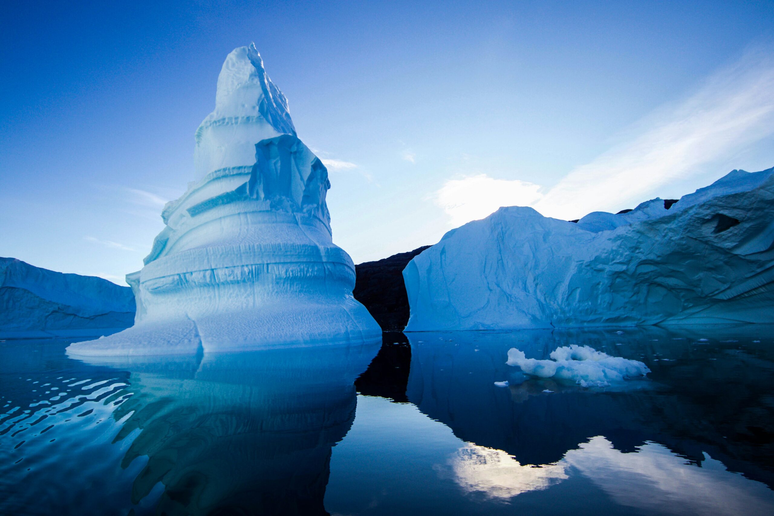
The Ice Age, a period characterized by vast ice sheets covering significant portions of the Northern Hemisphere, also gave rise to enormous proglacial lakes. These lakes formed when retreating glaciers blocked natural drainage routes, impounding meltwater behind walls of ice. The sheer scale of these ice dams was often immense, capable of holding back volumes of water comparable to or exceeding that of modern-day Great Lakes. The stability of these ice dams was precarious, however. Natural processes, such as gradual melting, basal melting due to geothermal heat, or more sudden catastrophic events like seismic activity or glacial calving, could lead to their eventual failure. The breaching of these dams was not a gentle seep; it was an apocalyptic event, unleashing pent-up waters in a surge of unimaginable power.
The Formation of Proglacial Lakes
During glacial periods, ice sheets advanced, pushing vast quantities of ice across continents. As these ice sheets began their inevitable retreat, they sculpted the land, leaving behind depressions and valleys. When these retreating ice margins intersected existing river systems or valleys, they acted as natural barriers, preventing meltwater from flowing to the sea. This trapped meltwater accumulated behind the ice, forming immense lakes that could persist for centuries or even millennia. The Great Lakes of North America, for instance, owe their existence in large part to the scouring and damming effects of the Laurentide Ice Sheet. Other regions, like the Channeled Scablands of eastern Washington and the Cordilleran region of Canada, were also profoundly shaped by these ancient glacial lakes. The size and depth of these proglacial lakes were dictated by the topography of the land, the extent of the ice dam, and the rate of meltwater input.
Triggers for Ice Dam Failure
The stability of an ice dam was a temporary condition. A multitude of factors could contribute to its eventual collapse. The most common trigger was gradual melting. As temperatures fluctuated, even within the context of a glacial period, the ice dam could weaken at its base or along its edges. Basal melting, facilitated by geothermal heat from the Earth’s crust or friction from moving ice, could also undermine the dam’s integrity. More sudden and dramatic failures could be initiated by earthquakes, which could fracture the ice, or by large-scale glacial calving events, where massive chunks of ice detached from the main ice sheet, creating openings. The precise trigger for any given megaflood is often difficult to ascertain, but the cumulative effect of these destabilizing forces was the inevitable breaching of the icy barrier.
During the Ice Age, the floods caused by the sudden melting of glacial lakes were often catastrophic, with depths varying significantly depending on the region and the volume of water released. These floods could reach depths of several hundred feet, reshaping landscapes and creating new geological features. For a deeper understanding of how such environmental changes can impact economies and markets today, you might find the article on the potential threat of Chinese electric vehicles to the U.S. market insightful. You can read it here: Chinese EVs Threat to U.S. Market.
Quantifying the Deluge: Evidence of Immense Water Volumes
Reconstructing the sheer volume of water released during these ancient floods is a monumental task, relying on meticulous geological investigation and sophisticated modeling. Scientists pore over the landscape, searching for telltale signs of catastrophic erosion, massive sediment deposition, and the physical limits of where water could have reached. These ancient floodwaters did not simply flow; they surged, carrying debris, carving channels, and inundating vast areas. The evidence left behind paints a picture of a planet temporarily transformed by liquid fury.
Geomorphic Indicators of Flood Intensity
The most compelling evidence for the scale of these floods lies in the landforms they created. The Channeled Scablands of Washington State, a vast network of dry canyons, coulees, and immense gravel bars, is perhaps the most iconic example. These features are too large and too regularly spaced to be explained by normal river erosion. They are the direct result of repeated, colossal outburst floods from glacial Lake Missoula. Similarly, the Bonneville Flood, originating from glacial Lake Bonneville in Utah, carved spectacular features like the Bonneville Salt Flats and deposited enormous gravel bars downstream. The presence of giant ripple marks, some hundreds of meters long and tens of meters high, further testifies to the immense flow velocities and the sheer depth of the water. These ancient floodplains, often miles wide, reveal the lateral extent of the inundation, indicating how far inland these surging waters reached.
Estimating Water Discharge and Depth
Estimating the precise discharge of these ancient floods is challenging but achievable through scientific inference. By analyzing the dimensions of the carved channels, the size of deposited sediment, and the height of erosional scours, geologists can apply hydraulic principles to calculate the volume of water that must have passed through. The scablands, for instance, show evidence of water depths in some areas exceeding 100 meters. For the Bonneville Flood, estimates suggest peak discharges on the order of one million cubic meters per second, a figure that dwarfs even the largest modern river floods like the Amazon. This requires careful study of the hydraulic geometry of the ancient flood pathways and the physics of sediment transport under extreme flow conditions.
The Lake Missoula Cataclysm: A Case Study in Extreme Flooding
The story of glacial Lake Missoula and the Missoula Floods is one of the most dramatic and well-studied examples of Ice Age megaflooding. Located in present-day Montana, this proglacial lake was periodically dammed by an ice lobe extending from the Cordilleran Ice Sheet. When the ice dam failed, it unleashed a series of colossal floods that scoured the landscape of eastern Washington and beyond, leaving behind a region of unparalleled geological significance. The sheer repetition of these events over thousands of years amplified their impact, creating the unique landscape we see today.
The Birth and Death of Glacial Lake Missoula
Glacial Lake Missoula formed when the Cordilleran Ice Sheet advanced south across the Columbia River valley in northern Idaho and western Montana. This ice lobe acted as a dam, impounding meltwater from the Clark Fork River and its tributaries. The lake grew to an immense size, with a surface elevation reaching potentially over 1,200 meters above sea level, holding a volume of water estimated to be comparable to that of Lake Michigan. The ice dam, however, was not a permanent fixture. As it periodically melted or shifted, it would fail. Evidence suggests that the lake filled and drained multiple times over a period of several thousand years during the late Pleistocene.
The Scour Marks of a Planetary Deluge
When the ice dam failed, water would surge westward down the Clark Fork River valley, then into the Columbia River valley, and out towards the Pacific Ocean. These floods were not single events but a series of massive outbursts. The initial surge, a wall of water estimated to be hundreds of meters high, would have been incredibly destructive. As it flowed through the narrow passes of the Rocky Mountains, it would have excavated massive canyons and coulees. In the broader valleys of eastern Washington, the floodwaters would have spread out, depositing vast quantities of sediment, forming the characteristic giant ripple marks, and leaving behind the immense gravel bars that characterize the Channeled Scablands. The sheer erosive power is evident in the smoothness of the bedrock in many of these scabland features, a testament to the unfathomable force of the water. The repetitive nature of these floods ensured that the landscape was continually reshaped, each event adding to the dramatic geological record.
Other Notable Ice Age Lake Flood Events
While the Missoula Floods are perhaps the most famous, they were not the only significant Ice Age lake flood events. Across the globe, similar scenarios unfolded, leaving behind their own unique geological signatures. Understanding these other events provides a broader perspective on the prevalence and impact of glacial outburst floods during the Pleistocene. Each had its own specific geographic context, ice dam dynamics, and resulting geomorphic expressions.
The Bonneville Flood: A Utah Catastrophe
Glacial Lake Bonneville, a vast pluvial lake that once covered much of western Utah, also experienced a dramatic outburst flood. As the climate warmed and glacial meltwater increased, the lake level rose. Eventually, it overtopped the Red Rock Pass, a relatively low point in its northern basin. The resulting flood, the Bonneville Flood, is estimated to have had a peak discharge comparable to the Missoula Floods, though likely less frequent. This event carved a spectacular canyon, the Bonneville Shoreline, which can still be seen today, and deposited enormous volumes of sediment downstream, contributing to the formation of the Bonneville Salt Flats. The scale of Lake Bonneville itself, at its highest stand, covered an area larger than modern-day Lake Erie.
Siberian and European Ice Dams
Evidence of large-scale glacial outburst floods has also been found in Siberia and parts of Europe. In Siberia, the collapse of ice dams formed by the vast Siberian Ice Sheet is thought to have created immense temporary lakes and triggered significant floods that shaped river valleys and deposited large alluvial fans. Similarly, in Europe, the retreat of the Scandinavian Ice Sheet likely led to the formation of proglacial lakes and subsequent outburst floods in regions like the Baltic Sea basin and along major river systems. While the specific details and scale of these events are still being researched, they underscore the widespread nature of glacial outburst flooding as a geomorphic process during the Ice Age.
During the Ice Age, the floods caused by the melting of glacial lakes could reach astonishing depths, often reshaping landscapes and creating new geological features. These catastrophic events were not only significant in terms of their immediate impact but also provide valuable insights into how climate change can influence our environment today. For a deeper understanding of these historical phenomena and their implications for our current climate challenges, you can explore a related article that discusses the lessons we can learn from history at this link.
Understanding Ancient Water Levels: Implications and Legacy
| Flood Event | Estimated Depth (meters) | Location | Time Period | Notes |
|---|---|---|---|---|
| Missoula Floods | 30 – 120 | Pacific Northwest, USA | Late Pleistocene (~15,000 – 13,000 years ago) | Repeated cataclysmic floods from Glacial Lake Missoula |
| Bonneville Flood | 30 – 60 | Great Basin, USA | Late Pleistocene (~14,500 years ago) | Flood from Lake Bonneville overflow |
| Lake Agassiz Floods | 10 – 50 | Central North America | Late Pleistocene (~13,000 – 8,000 years ago) | Multiple outburst floods from glacial Lake Agassiz |
| Scablands Floods | Up to 120 | Eastern Washington, USA | Late Pleistocene (~15,000 years ago) | Part of Missoula Flood events, created unique landscape |
The study of Ice Age lake floods is more than just an academic exercise in understanding ancient geology. It provides invaluable insights into paleoclimates, the dynamics of ice sheets, and the potential for rapid and dramatic environmental change. The legacy of these floods continues to shape landscapes and influence our understanding of Earth’s history, reminding us of the immense power of natural forces.
Paleoclimate Reconstruction and Ice Sheet Dynamics
The scale and frequency of Ice Age lake floods are directly linked to glacial cycles and climate change. The formation of proglacial lakes and the stability of ice dams are sensitive indicators of temperature fluctuations and the waxing and waning of ice sheets. By studying the sedimentary records of these lakes and the geomorphic evidence of their catastrophic drainage, scientists can reconstruct past climate conditions with greater accuracy. Furthermore, the dynamics of ice dam failures offer insights into the physical properties of glaciers and the processes that govern their stability. Understanding how these massive ice structures could fail provides crucial data for modeling the behavior of modern glaciers and ice sheets in response to a warming climate.
Lessons for a Changing Planet
The dramatic evidence of Ice Age megafloods serves as a potent reminder of the Earth’s capacity for rapid and transformative environmental change. While the direct causes of these ancient events—massive ice dams and glacial meltwater—are unique to the Pleistocene, the underlying principles of water accumulation, dam failure, and catastrophic release have relevance today. Studying these past events can help us to better understand the potential consequences of melting ice caps and glaciers in a warming world, and the potential for similar, albeit perhaps less extreme, outburst flood events from newly forming or destabilizing glacial lakes. The geomorphology left behind by these ancient floods also provides natural laboratories for studying fluid dynamics and sediment transport under extreme conditions, offering valuable lessons for engineering and disaster preparedness. The immense power unleashed by these Ice Age floods continues to be a source of scientific inquiry and a humbling testament to the dynamic history of our planet.