The Chill of the Ice Age: Navigating Shifting Landscapes
The Last Glacial Period, a span of time stretching from approximately 115,000 to 11,700 years ago, presented humanity with an unparalleled environmental challenge. Vast ice sheets sculpted the continents, dramatically altering coastlines, reshaping river systems, and shrinking habitable zones. Within this dynamic and often unforgiving world, early human groups, hunter-gatherer societies reliant on the natural resources around them, faced the perpetual need to adapt. Their survival hinged on their ability to understand, predict, and respond to the ever-changing boundaries imposed by the glacial environment. These boundaries were not merely geographical markers; they were fluid, often perilous, and dictated by the presence or absence of vital resources, the flow of game, and the encroaching dominion of ice. Negotiating these tribal boundaries, therefore, was a complex interplay of ecological pressures, social dynamics, and strategic adaptation.
The sheer scale of glacial advance and retreat meant that established territories could become impassable or resource-barren in relatively short periods. This forced populations to consider new hunting grounds, potentially leading to encounters with neighboring groups. Conversely, periods of glacial retreat could open up previously inaccessible areas, presenting opportunities for expansion but also necessitating the establishment of new territorial claims and the negotiation of their interfaces with other established communities. The concept of “tribal boundaries” during this era is likely a nuanced one, far removed from the fixed, demarcated lines of modern nation-states. Instead, it represented spheres of influence, zones of customary resource use, and understood territorial limits, often defined by natural features like river valleys, mountain ranges, or the edges of glacial moraines. These boundaries were likely fluid and subject to renegotiation based on seasonal shifts, migratory patterns of prey, and the pressures exerted by neighboring groups. The ability of these early humans to successfully navigate these ever-shifting boundaries directly impacted their long-term survival and the genetic and cultural diffusion across vast geographical areas.
Negotiating tribal boundaries during the last glacial period was a complex process influenced by environmental changes and resource availability. As tribes adapted to shifting landscapes and climates, their interactions often led to the establishment of new territorial agreements. For a deeper understanding of how ancient civilizations navigated complex systems, you can explore the article on the Antikythera mechanism, which sheds light on the intricate functions of ancient technology and its implications for societal organization. For more information, visit this article.
Resource Landscapes and Their Influence on Territoriality
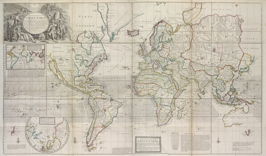
The defining characteristic of the Last Glacial Period was the immense terrestrial transformation wrought by advancing and retreating ice sheets. This glacial dynamism directly shaped the availability and distribution of crucial resources, thereby profoundly influencing the territorial strategies of early human populations. Understanding these resource landscapes is paramount to comprehending how tribal boundaries were conceived and maintained.
The Tundra-Steppe Ecosystem: A Continent of Plenty and Peril
During the peak of the Last Glacial Maximum, much of the landmass now occupied by temperate forests and grasslands was transformed into a vast, open tundra-steppe. This biome, characterized by low-lying vegetation, grasses, sedges, and scattered shrubs, supported enormous herds of migratory herbivores. Mammoth, woolly rhinoceros, bison, horse, and reindeer were the cornerstones of the Paleolithic diet and economy. These animals, in turn, dictated the movements of human groups. Tribes would likely have followed the predictable migratory routes of these herds, establishing temporary or semi-permanent encampments in areas that offered reliable access to water, shelter, and, most importantly, the animals themselves.
The “boundaries” in such a landscape were inherently linked to the spatial and temporal patterns of these megafauna. A tribe’s territory might be defined by a particular river system that served as a migration corridor, or by a series of valleys known to host wintering herds. The presence of these abundant food sources would have created zones of intense resource utilization, effectively acting as magnetics for human activity. Consequently, the edges of these resource-rich zones would naturally become points of interaction, and potentially conflict or cooperation, with neighboring groups who also sought to exploit the same bounty. The concept of territoriality here is less about claiming static land and more about asserting access rights to dynamic, mobile resources. The vastness of the tundra-steppe, while offering immense potential, also meant that human populations were relatively dispersed, and the interactions between distant groups might have been infrequent but significant when they occurred.
Glacial Margins: Barriers and Opportunities
The colossal ice sheets themselves represented formidable physical barriers, yet their margins also created unique ecological niches and, in some instances, provided opportunities. The fringes of glaciers were often characterized by outwash plains, glacial lakes, and meltwater rivers, which could support specialized flora and fauna. These environments might have offered different sets of resources, such as fish from glacial rivers, smaller game adapted to colder climes, or mineral deposits useful for tool production.
Tribal boundaries would have been significantly influenced by the proximity and stability of these glacial margins. For groups living in direct contact with the ice, their territories might have been defined by the edge of the ice sheet itself, with the understanding that venturing too far onto the ice was an act of extreme danger, if not outright suicide. Conversely, areas that experienced periodic glacial retreat could have opened up new territories for exploitation, leading to expansion and the establishment of new boundaries. The stability of these glacial margins was also a factor. A rapidly advancing glacier could abruptly cut off access to resources or force populations to relocate, necessitating a renegotiation of their territorial claims and interactions with neighbors. The dynamic nature of glacial retreat and advance created shifting landscapes of opportunity, forcing constant adaptation in how tribal territories were defined and defended.
Refuge Zones and Resource Islands
Beyond the widespread tundra-steppe and the immediate glacial margins, certain geographical features would have served as critical refuge zones or resource islands. These could include sheltered valleys, cave systems, or areas with more temperate microclimates that persisted despite the overall glacial conditions. These areas would have been particularly attractive due to their more stable and diverse resource base, offering a respite from the harshness of the open landscape.
Tribal territories might have been centered around these refuge zones, with surrounding areas serving as foraging grounds. The boundaries of these territories would likely have been defined by the extent of the reliable resource base provided by these islands. Groups occupying such areas would have had a strategic advantage, potentially allowing them to support larger populations or maintain more stable social structures. However, these desirable locations would also have been highly contested, leading to the necessity for clear, understood, and perhaps even defended boundaries with neighboring groups who might have sought to access these vital refuges. The concept of exclusive access to these resource-rich pockets would have been a significant driver in defining and maintaining tribal territoriality.
Social Dynamics and Intergroup Relations
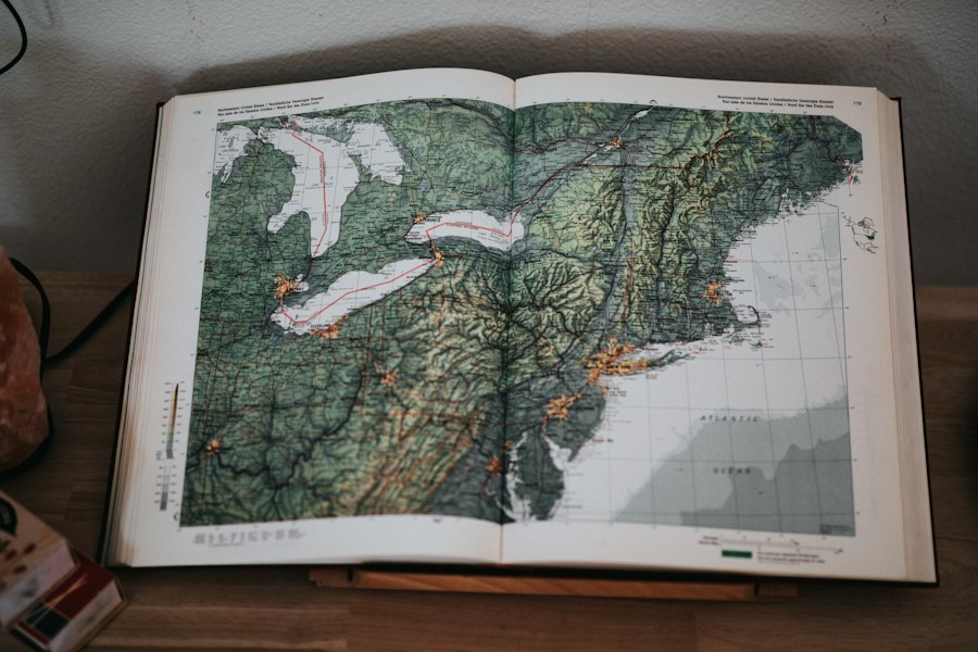
While environmental pressures undoubtedly shaped the physical contours of territoriality, the social dynamics and intergroup relations among early human populations played an equally crucial role in defining and negotiating tribal boundaries during the Last Glacial Period. These interactions were multifaceted, ranging from peaceful exchange to outright conflict, each leaving its indelible mark on the territorial landscape.
The Nature of Paleolithic Societies: Small, Mobile Groups
The prevailing archaeological evidence suggests that human societies during the Last Glacial Period were primarily composed of small, mobile, kinship-based groups. These bands, likely numbering a few dozen individuals, were highly adaptable and moved frequently to exploit dispersed resources. This inherent mobility and relatively small group size had significant implications for their territorial organization.
In such a context, territorial boundaries were unlikely to be rigid or formally enforced in the way we understand them today. Instead, they were more akin to understood spheres of influence and customary use areas. These boundaries were maintained through a combination of social mechanisms, including shared knowledge of the landscape, established routes of travel, and the social recognition of neighboring groups. The small scale of these societies meant that most individuals within a group would have known each other intimately, and their interactions with individuals from other groups, while perhaps less frequent, would have been within a framework of established social norms. The “boundaries” were thus more permeable and negotiated through ongoing social interactions rather than through overt acts of territorial defense. The fluidity of these boundaries reflected the fluid nature of their subsistence strategies.
Exchange Networks: Cooperation Across Boundaries
Despite the potential for competition, evidence suggests that exchange networks played a vital role in the lives of Paleolithic peoples. The movement of goods, such as high-quality lithic materials for tool manufacture, exotic shells, or even foodstuffs, across significant distances indicates a degree of intergroup cooperation and communication. These exchange networks would have necessitated regular interaction between different tribal groups, fostering a degree of familiarity and establishing channels for negotiation.
The existence of these exchange routes would have carved pathways through the landscape, effectively influencing the perceived and actual boundaries between groups. A river valley that served as a major artery for trade might have been a shared resource or a recognized neutral zone. The prestige associated with certain exotic materials, such as obsidian or chert from distant quarries, could have motivated groups to maintain peaceful relations with those in control of these valuable resources. In this sense, exchange acted as a form of social glue, bridging territorial divides and promoting a degree of stability in intergroup relations. The very act of trading implied a shared understanding of territory and access rights, even if these were not explicitly defined.
Conflict and Competition: Asserting Claims
While exchange fostered cooperation, competition for scarce or highly desirable resources undoubtedly led to conflict. The intense pressure to secure food, shelter, and other vital necessities in the challenging glacial environment would have occasionally erupted into intergroup violence. Such conflicts, whether localized skirmishes or larger confrontations, would have served to solidify territorial claims and delineate more forcefully the boundaries between groups.
Archaeological evidence, such as skeletal remains with projectile point injuries or fortifications at certain sites, provides glimpses into these conflicts. The nature and scale of these conflicts would have varied depending on the specific environmental conditions and the density of human populations in a given area. In resource-rich but spatially limited areas, competition could have been particularly fierce, leading to more defined and potentially defended boundaries. The outcomes of these conflicts would have determined which groups had precedence in certain territories, further shaping the territorial map of the glacial landscape. These episodes of conflict, while destructive, served to clarify the unwritten rules of territorial possession and to reinforce the sense of “us” versus “them.”
Archaeological Evidence and Interpretive Challenges
Reconstructing the nature of tribal boundaries and intergroup negotiations during the Last Glacial Period presents significant challenges for archaeologists. The ephemeral nature of hunter-gatherer societies and the immense timescale involved mean that direct evidence is often scarce and subject to interpretation. However, by employing a range of analytical techniques and focusing on specific types of evidence, researchers can glean valuable insights.
Settlement Patterns: Clues to Territoriality
The distribution of archaeological sites, including campsites, kill sites, and artifact scatters, offers crucial clues about how early humans utilized and organized their territories. By mapping these sites and analyzing their spatial relationships, archaeologists can infer patterns of movement, resource exploitation, and potential territorial boundaries. For example, a concentration of sites within a particular valley might suggest a primary territory for a group, while isolated sites in surrounding areas could indicate foraging expeditions or ephemeral camps.
The density and clustering of sites can also provide insights into territorial demarcation. Areas with high site density might represent core territories with intensive use, while sparser distributions could indicate peripheral zones or areas of limited resource availability. Furthermore, the presence of distinct artifact assemblages at different sites can suggest the presence of different cultural groups, with the transitional zones between these assemblages potentially marking the edges of their respective territories. However, it is important to acknowledge that settlement patterns are also influenced by environmental factors and the natural distribution of resources, making it challenging to disentangle purely social or territorial influences from ecological ones.
Lithic Sourcing: Tracing Material Flows
The study of lithic artifacts, particularly the raw materials used to make stone tools, has proven invaluable in understanding intergroup relations and territorial extents. By analyzing the geological provenance of stone tools found at archaeological sites, researchers can determine the distances over which these materials were transported. This “lithic sourcing” allows for the reconstruction of exchange networks and migration routes.
If tools made from a specific type of chert are found widely dispersed across a region, it suggests that either the raw material source was highly prized and actively traded, or that human groups moved extensively between the source and distant locations. The presence of exotic lithic materials at a site far from its origin strongly indicates interaction with other groups, potentially through trade or migration. By mapping the distribution of specific lithic sources, archaeologists can identify potential areas of interaction and the perceived “boundaries” that these material flows had to cross. Conversely, areas where only locally sourced lithic materials are found might represent more insular territories. The effort involved in acquiring and transporting such materials highlights the value placed on them and the social networks required to obtain them.
Paleoenvironmental Reconstruction: Contextualizing Human Behavior
Understanding the paleoenvironmental conditions of the Last Glacial Period is absolutely essential for interpreting archaeological evidence related to tribal boundaries. The dramatic environmental shifts, including ice sheet advances and retreats, changes in vegetation, and altered sea levels, directly impacted human settlement patterns, resource availability, and migratory routes.
Archaeological interpretations must be grounded in detailed reconstructions of the past environment. For instance, if a particular valley was a glacial outwash plain during the Last Glacial Maximum, it would have supported a different ecosystem and different game than a sheltered, forested area. A site located in a now-submerged coastal region can only be understood in the context of drastically lowered sea levels. By integrating archaeological data with paleoenvironmental proxies, such as pollen analysis, ice core data, and sediment cores, researchers can build a more comprehensive picture of how human groups navigated and claimed territories within a constantly changing world. This interdisciplinary approach is crucial for moving beyond speculation and for developing robust interpretations of Paleolithic territoriality.
During the last glacial period, the negotiation of tribal boundaries was heavily influenced by shifting landscapes and resource availability, as communities adapted to the changing environment. This complex interplay of geography and social dynamics can be further explored in a related article that discusses contemporary territorial disputes, such as those in the South China Sea, which highlight the ongoing challenges of boundary negotiations. For more insights into these modern issues, you can read about the challenges and opportunities in this region by following this link.
Long-Term Impacts and Evolutionary Legacies
| Metric | Description | Estimated Value/Range | Notes |
|---|---|---|---|
| Time Period | Duration of the Last Glacial Period | ~115,000 to 11,700 years ago | Also known as the Wisconsin Glaciation in North America |
| Tribal Groups | Number of distinct tribal groups involved in boundary negotiations | Varied by region; estimated 10-50 groups in studied areas | Dependent on archaeological and anthropological evidence |
| Territory Size | Average size of tribal territories negotiated | 100 to 1,000 square kilometers | Varied with resource availability and population density |
| Negotiation Frequency | Estimated frequency of boundary negotiations or conflicts | Every 5-20 years | Based on ethnographic analogies and archaeological findings |
| Resource Scarcity | Impact of glacial climate on resource availability | High scarcity during peak glaciation | Increased competition influenced boundary negotiations |
| Conflict Incidence | Estimated percentage of negotiations resulting in conflict | 30-50% | Reflects tension over limited resources and territory |
| Peace Treaties | Instances of formalized agreements or alliances | Documented in some regions, estimated 10-20% | Often involved marriage alliances or trade agreements |
The ways in which early human groups negotiated their tribal boundaries during the Last Glacial Period had profound and lasting impacts, not only on their immediate survival but also on the long-term trajectory of human evolution and cultural development. These adaptations laid the groundwork for subsequent human expansions and societal complexities.
Population Dispersal and Genetic Diversity
The need to adapt to fluctuating and often challenging environmental conditions during the Ice Age spurred significant human dispersal. As ice sheets advanced and retreated, and as resource availability shifted, populations were forced to move across vast landscapes. This movement, driven by the necessity to find and exploit new territories and resources, led to the colonization of new regions and the gradual expansion of the human range.
The negotiation of tribal boundaries, whether through cooperation or competition, influenced the patterns of gene flow between populations. Periods of increased interaction, facilitated by exchange networks or shared resource areas, would have led to greater genetic mixing. Conversely, periods of intense territoriality or conflict might have temporarily isolated groups, leading to localized genetic differentiation. Ultimately, these patterns of dispersal and interaction contributed to the broad genetic diversity observed in human populations today. The resilience and adaptability required to navigate these shifting boundaries became an ingrained characteristic of our species.
Development of Social Complexity and Cultural Innovation
The challenges posed by the Last Glacial Period, including the need to manage resource competition and maintain social cohesion across potentially dispersed groups, likely fostered the development of more complex social structures and cultural innovations. The successful negotiation of territorial boundaries required sophisticated communication, cooperation, and conflict resolution skills.
In areas of high resource concentration or limited space, groups may have developed more elaborate systems of social organization to manage access and prevent conflict. The development of shared understandings of territorial rights, customs, and reciprocal obligations would have been crucial for maintaining stability. Furthermore, the need to adapt to diverse environments and exploit a range of resources spurred technological innovation, from the development of more sophisticated hunting tools to advancements in shelter construction and the use of fire. These innovations, often spread through intergroup contact facilitated by the negotiation of boundaries, contributed to the cumulative cultural heritage of humanity. The very act of defining and defending a territory, however fluid, necessitated a degree of social and cognitive sophistication.
Shaping the Cultural Landscape of Today
The territorial dynamics of the Last Glacial Period left an enduring imprint on the cultural and geographical landscape we inhabit today. The migratory routes and settlement patterns established by our Ice Age ancestors influenced the distribution of human populations for millennia to come. The foundations of many cultural traditions, social structures, and even linguistic patterns can be traced back to the adaptations and interactions of these early peoples.
The legacy of negotiating boundaries, of learning to share and compete for resources, is deeply embedded in the human experience. While the specific environmental pressures have changed, the fundamental need to manage intergroup relations and define spatial claims persists. Understanding how our ancestors navigated these complex dynamics in the face of extreme environmental challenges provides invaluable insights into the resilience, adaptability, and social ingenuity that have characterized our species throughout its history. The echoes of those ancient negotiations, played out across the vast, ice-scoured landscapes of the Pleistocene, continue to resonate in the diverse and interconnected world of today.
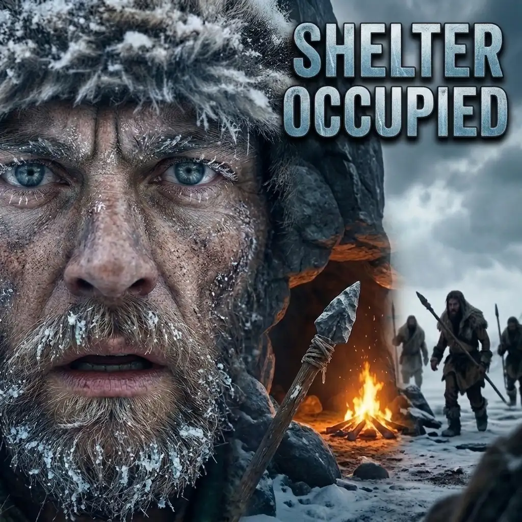
➡️Life 20,000 Years Ago | When Strangers Claim Your Winter Shelter 🚨
FAQs
What were the primary factors influencing tribal boundaries during the last glacial period?
During the last glacial period, tribal boundaries were primarily influenced by environmental factors such as climate, availability of resources, and migration patterns. As glaciers expanded, they altered landscapes, affecting the distribution of flora and fauna, which in turn impacted where tribes could settle and hunt. Additionally, competition for resources and the need for strategic positioning against other tribes also played significant roles in defining these boundaries.
How did tribes negotiate boundaries in the context of changing climates?
Tribes negotiated boundaries through a combination of diplomacy, conflict, and adaptation to changing climates. As the climate warmed and glaciers retreated, tribes often engaged in discussions to establish new territories that reflected the shifting availability of resources. This could involve formal agreements or informal understandings, and sometimes conflicts arose when tribes encroached on each other’s newly available lands.
What role did migration play in the establishment of tribal boundaries?
Migration was a crucial factor in the establishment of tribal boundaries during the last glacial period. As tribes moved in response to changing environmental conditions, they often encountered other groups, leading to negotiations or conflicts over territory. These migrations were typically driven by the search for more hospitable climates and abundant resources, which necessitated the re-evaluation and re-negotiation of existing boundaries.
Were there any specific tribes known for their boundary negotiations during this period?
While specific tribes from the last glacial period are not well-documented due to the lack of written records, archaeological evidence suggests that various hunter-gatherer groups in regions such as North America and Eurasia engaged in boundary negotiations. These groups likely included early forms of what would become recognized tribes, adapting their territories in response to glacial movements and resource availability.
How did the last glacial period impact the long-term boundaries of tribes?
The last glacial period had a lasting impact on the long-term boundaries of tribes by shaping their cultural and territorial identities. As tribes adapted to the post-glacial environment, the boundaries established during this time often influenced future territorial claims and social structures. The patterns of migration and resource use established during this period laid the groundwork for the development of more permanent tribal boundaries in subsequent millennia.