Arab astronomy navigation tables represent a remarkable intersection of science, culture, and history. These tables, meticulously crafted by scholars during the Islamic Golden Age, served as essential tools for navigation and timekeeping. They were not merely mathematical constructs; they embodied the rich intellectual tradition of the Arab world, where astronomy was deeply intertwined with religion, trade, and exploration.
The tables provided mariners and travelers with the means to traverse vast distances across deserts and seas, relying on the stars as their guides. The significance of these navigation tables extends beyond their practical applications. They reflect a sophisticated understanding of celestial mechanics and a commitment to empirical observation.
As such, they played a crucial role in shaping the navigational practices of the time and laid the groundwork for future advancements in astronomy. The legacy of Arab astronomy navigation tables continues to resonate today, reminding us of the profound impact that ancient scholars had on our understanding of the cosmos.
Key Takeaways
- Arab astronomy navigation tables were crucial tools for star-based navigation in historical Arab culture.
- These tables evolved over centuries, reflecting advancements in astronomical observations and calculations.
- Notable Arab astronomers made significant contributions to the precision and usability of navigation tables.
- The structure of these tables combined detailed star positions and celestial data to aid maritime and desert navigation.
- The legacy of Arab astronomy navigation tables continues to influence modern astronomy and navigation techniques.
The History of Arab Astronomy Navigation Tables
The history of Arab astronomy navigation tables is deeply rooted in the broader context of Islamic scholarship.
Scholars such as Al-Khwarizmi and Al-Battani began to compile and refine astronomical knowledge from earlier civilizations, including the Greeks and Indians.
This synthesis of knowledge laid the foundation for the development of navigation tables that would be used for centuries. By the 9th century, Arab astronomers had begun to create comprehensive star catalogs and tables that detailed the positions of celestial bodies. These early works were instrumental in improving navigational accuracy.
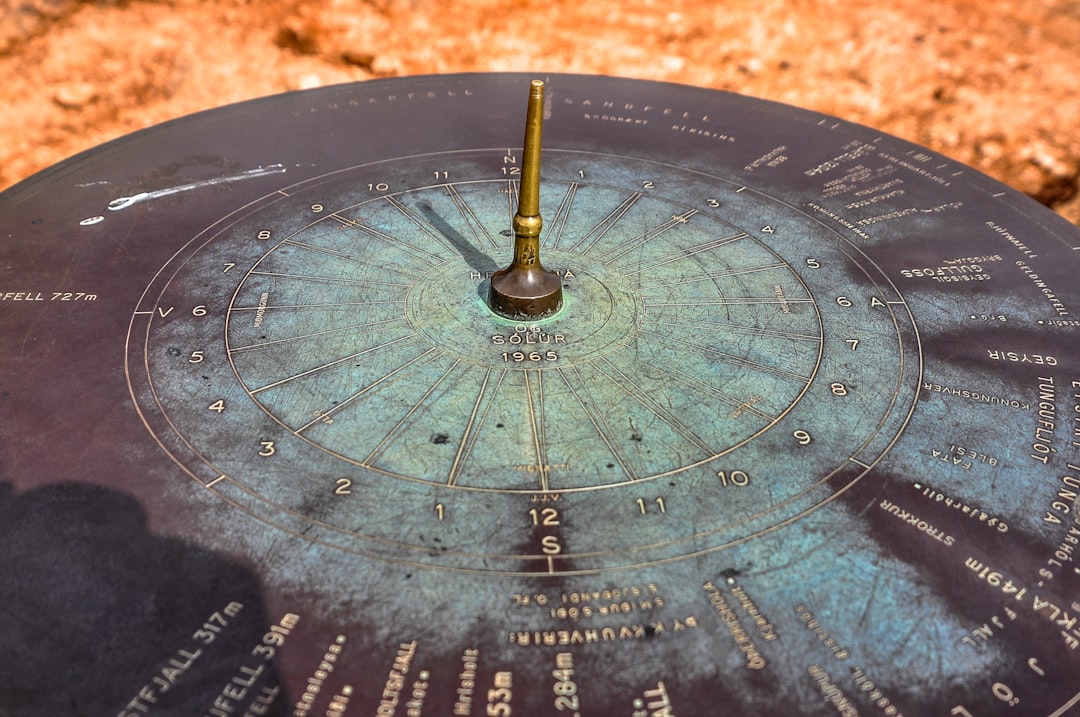
The introduction of instruments like the astrolabe allowed astronomers to measure the altitude of stars above the horizon, facilitating more precise calculations. As trade routes expanded and maritime exploration flourished, the demand for reliable navigation tools grew, prompting further refinements in these tables.
The Importance of Navigating the Stars in Arab Culture
In Arab culture, navigating the stars held profound significance that transcended mere practicality. The stars were not only seen as celestial bodies but also as symbols of guidance and enlightenment. For many communities, particularly those engaged in trade and travel, the ability to read the night sky was essential for survival.
The stars served as a compass, guiding merchants across treacherous deserts and vast oceans. This reliance on celestial navigation fostered a deep appreciation for astronomy as both a science and an art. Moreover, the stars were often intertwined with spiritual beliefs and practices.
Many Arab cultures viewed celestial phenomena as manifestations of divine will, leading to a reverence for the heavens that permeated their literature, poetry, and philosophy. The act of navigating by the stars was not merely a technical skill; it was also a way to connect with the cosmos and understand one’s place within it. This cultural significance further motivated scholars to develop accurate navigation tables that could enhance their understanding of the universe.
The Development of Arab Astronomy Navigation Tables
The development of Arab astronomy navigation tables was marked by a series of innovations that reflected both mathematical prowess and observational skill. Early astronomers began by compiling data from various sources, including Greek texts and Indian astronomical works. They meticulously recorded observations of celestial events, such as eclipses and planetary movements, which were crucial for refining their tables.
This process involved not only gathering information but also critically analyzing and synthesizing it to create more accurate models of the heavens. One notable advancement was the introduction of trigonometric methods to calculate celestial positions. Scholars like Al-Battani made significant contributions by employing sine and cosine functions to improve the accuracy of their calculations.
This mathematical sophistication allowed for more precise predictions of celestial events, which were essential for navigation. As these tables evolved, they became increasingly detailed, incorporating information about star positions, rising and setting times, and even seasonal variations.
The Use of Arab Astronomy Navigation Tables in Navigation
| Metric | Description | Value/Example |
|---|---|---|
| Time Period | Era during which Arab astronomy navigation tables were developed | 8th to 14th Century CE |
| Primary Use | Navigation and astronomical calculations | Determining latitude, time, and direction |
| Key Astronomical Tables | Types of tables included in navigation manuscripts | Zij al-Sindhind, Zij al-Malik, Zij al-Sultani |
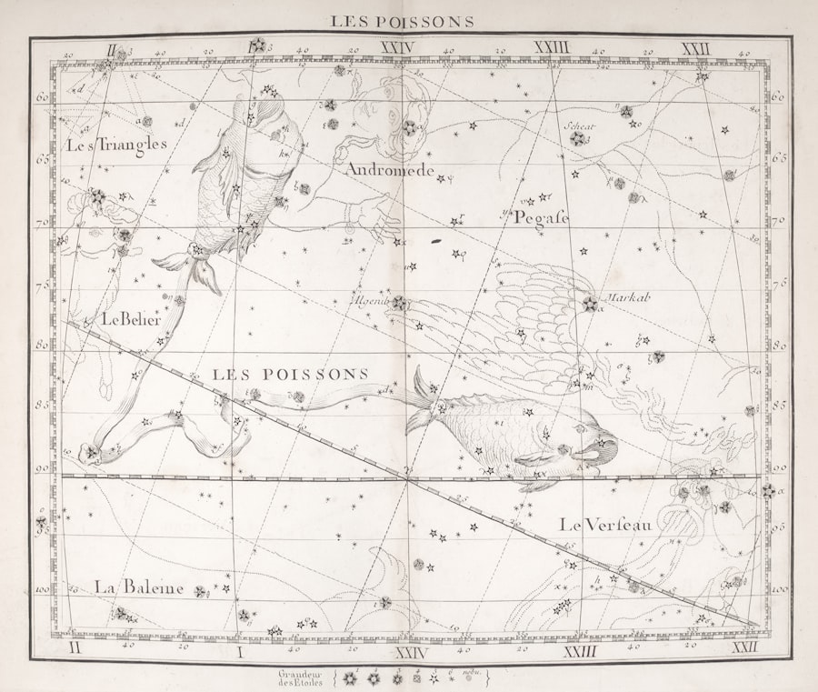
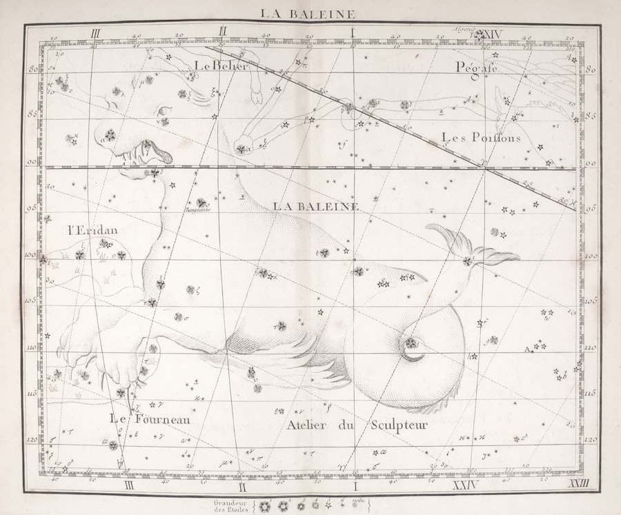
| Star Catalog Size | Number of stars cataloged in major Arab astronomical works | ~1,000 stars (e.g., Al-Sufi’s Book of Fixed Stars) |
| Accuracy of Latitude Calculation | Precision in determining latitude using tables | Within 1° of actual latitude |
| Instruments Used | Tools referenced in conjunction with navigation tables | Astrolabe, Quadrant, Sundial |
| Influence | Impact on later navigation and astronomy | Basis for European Renaissance astronomy and navigation |
Arab astronomy navigation tables were indispensable tools for navigators during the medieval period. Mariners relied on these tables to determine their position at sea by observing the stars’ positions relative to their own location. By using instruments such as the astrolabe or quadrant, sailors could measure the altitude of specific stars above the horizon and consult their navigation tables to ascertain their latitude.
This practice was particularly vital for long-distance voyages across open waters where landmarks were scarce. In addition to aiding maritime navigation, these tables were also employed by desert travelers who needed to traverse vast arid landscapes. The ability to identify constellations and celestial bodies allowed them to maintain their bearings during long journeys.
The use of navigation tables thus facilitated trade routes that connected distant regions, fostering cultural exchange and economic growth throughout the Islamic world and beyond.
The Influence of Arab Astronomy Navigation Tables on Modern Astronomy
The influence of Arab astronomy navigation tables extends far beyond their original context; they have left an indelible mark on modern astronomy. As European scholars began to rediscover ancient texts during the Renaissance, they encountered these sophisticated navigation tables and recognized their value. The mathematical techniques developed by Arab astronomers were integrated into European astronomical practices, leading to significant advancements in navigation and celestial mechanics.
Furthermore, many terms used in modern astronomy have their roots in Arabic. Words such as “algebra,” “zenith,” and “nadir” reflect the linguistic legacy of Arab scholars who contributed to these fields. The preservation and translation of Arabic astronomical works played a crucial role in bridging ancient knowledge with contemporary scientific understanding.
As a result, modern astronomers continue to build upon the foundations laid by their Arab predecessors.
Notable Arab Astronomers and their Contributions to Navigation Tables
Several notable Arab astronomers made significant contributions to the development of navigation tables, each leaving a unique mark on this field. One such figure is Al-Khwarizmi, often referred to as the “father of algebra.” His work on mathematical calculations laid the groundwork for more complex astronomical computations. Al-Khwarizmi’s texts were instrumental in introducing systematic methods for solving equations, which proved invaluable for creating accurate navigation tables.
Another prominent figure is Al-Battani, whose observations and calculations significantly improved existing astronomical models. He is best known for his work “Kitab al-Zij,” which included detailed star catalogs and precise calculations of celestial phenomena. Al-Battani’s contributions not only enhanced navigational accuracy but also influenced later European astronomers like Copernicus and Tycho Brahe.
These scholars built upon his findings, demonstrating how interconnected the history of astronomy truly is.
The Structure and Content of Arab Astronomy Navigation Tables
The structure and content of Arab astronomy navigation tables were characterized by meticulous organization and comprehensive detail. Typically, these tables included columns that listed various celestial bodies alongside their corresponding coordinates, rising and setting times, and other relevant data. This systematic arrangement allowed navigators to quickly reference information while at sea or on land.
In addition to basic star positions, many tables incorporated advanced calculations related to lunar phases and planetary movements. Some even included diagrams illustrating constellations or celestial events such as eclipses. This multifaceted approach ensured that users had access to a wealth of information that could aid them in various navigational scenarios.
The clarity and precision with which these tables were constructed reflect the high level of scholarship prevalent during this period.
The Accuracy and Reliability of Arab Astronomy Navigation Tables
The accuracy and reliability of Arab astronomy navigation tables were paramount for their effectiveness in guiding travelers across vast distances. Scholars employed rigorous observational techniques to ensure that their data was as precise as possible. By utilizing instruments like astrolabes and quadrants, they could measure celestial positions with remarkable accuracy for their time.
Moreover, continuous refinement through empirical observation contributed to enhancing reliability. As astronomers gathered more data over time, they adjusted their calculations accordingly, leading to increasingly accurate predictions of celestial events. This commitment to precision not only bolstered confidence among navigators but also established a standard for future astronomical work.
The Legacy of Arab Astronomy Navigation Tables
The legacy of Arab astronomy navigation tables is profound and enduring. They represent a critical chapter in the history of science that highlights the contributions of Arab scholars to global knowledge systems. Their work laid essential groundwork for subsequent developments in both navigation and astronomy, influencing generations of scientists across cultures.
Today, as modern astronomers continue to explore the cosmos using advanced technology, they stand on the shoulders of giants like Al-Khwarizmi and Al-Battani. The principles established through these ancient navigation tables remain relevant in contemporary scientific discourse, reminding us that our understanding of the universe is built upon centuries of inquiry and discovery.
The Continued Relevance of Navigating the Stars through Arab Astronomy Navigation Tables
In conclusion, Arab astronomy navigation tables serve as a testament to human ingenuity and curiosity about the cosmos. Their historical significance is matched only by their continued relevance in today’s world. As society grapples with challenges related to navigation—whether through technological advancements or environmental changes—the lessons learned from these ancient tools remain invaluable.
The ability to navigate by the stars is not merely a relic of the past; it is a skill that connects humanity with its shared heritage while fostering a deeper appreciation for our place in the universe. As modern explorers look toward new frontiers—be it through space travel or oceanic exploration—the wisdom embedded within Arab astronomy navigation tables will undoubtedly continue to inspire future generations seeking guidance among the stars.
Arab astronomy played a crucial role in the development of navigation tables, which were essential for maritime exploration and trade. These tables, based on intricate calculations and observations, allowed navigators to determine their position at sea with remarkable accuracy. For a deeper understanding of the historical context and significance of these navigation tools, you can read more in this related article on the topic: Arab Astronomy and Navigation.
WATCH THIS! 🗺️ The Map That Proves Humans Explored Earth 5,000 Years Too Early
FAQs
What are Arab astronomy navigation tables?
Arab astronomy navigation tables are historical astronomical charts and tables developed by Arab scholars to aid in celestial navigation. These tables include data on the positions of stars, planets, and other celestial bodies, which were used to determine direction and latitude during sea voyages.
When were Arab astronomy navigation tables developed?
These tables were primarily developed during the Islamic Golden Age, roughly between the 8th and 14th centuries, when Arab astronomers made significant advancements in astronomy and navigation.
Who were some key figures in the development of Arab astronomy navigation tables?
Notable figures include Al-Battani, Al-Sufi, and Al-Zarqali, who contributed to the refinement of astronomical observations and the creation of precise tables for navigation and timekeeping.
How were these navigation tables used in practice?
Navigators used the tables to calculate their position by measuring the altitude of stars or the sun above the horizon, allowing them to determine latitude and direction while at sea.
What instruments complemented the use of Arab astronomy navigation tables?
Instruments such as the astrolabe, quadrant, and sextant were commonly used alongside the tables to measure celestial angles accurately.
What impact did Arab astronomy navigation tables have on navigation?
These tables significantly improved maritime navigation by providing more accurate celestial data, which helped sailors travel longer distances with greater confidence and safety.
Did Arab astronomy navigation tables influence other cultures?
Yes, the knowledge contained in these tables was transmitted to Europe and other regions, influencing the development of navigation and astronomy during the Renaissance and beyond.
Are any original Arab astronomy navigation tables preserved today?
Some manuscripts and copies of these tables are preserved in libraries and museums around the world, providing valuable insight into medieval Islamic science and navigation techniques.