The dense, verdant canopy of the Amazon rainforest has long guarded its secrets, a formidable natural fortress that has thwarted extensive archaeological exploration for centuries. Traditional methods of excavation and survey are often rendered impractical or even impossible by the sheer scale of the jungle, making its history a tantalizing but elusive puzzle. However, a technological revolution is now peeling back the layers of this verdant shroud, bringing to light the remarkable architectural achievements and complex societies that once flourished within its embrace. This advancement is primarily driven by the innovative application of Light Detection and Ranging (LIDAR) technology, a tool that is proving to be a veritable key to unlocking lost Amazonian cities.
For generations, the prevailing narrative of Amazonian prehistory painted a picture of sparse, transient populations subsisting in a challenging environment. The idea of large, sedentary civilizations capable of monumental construction was often relegated to myth or dismissed as colonial fantasy. However, accumulating evidence, now dramatically amplified by LIDAR surveys, is forcing a profound reevaluation of this perspective. These technological advancements are not merely uncovering scattered artifacts; they are revealing the intricate blueprints of entire urban landscapes, complete with sophisticated infrastructure, agricultural systems, and defensive fortifications.
The Promise of the Canopy: Traditional Challenges in Amazonian Archaeology
The Amazon basin, a vast and biologically rich region spanning multiple South American countries, presents a unique set of archaeological challenges. Its dense vegetation acts as a powerful obfuscating agent, a natural veil that conceals surface features and makes aerial or ground-based reconnaissance incredibly difficult.
The Limits of Ground Surveys
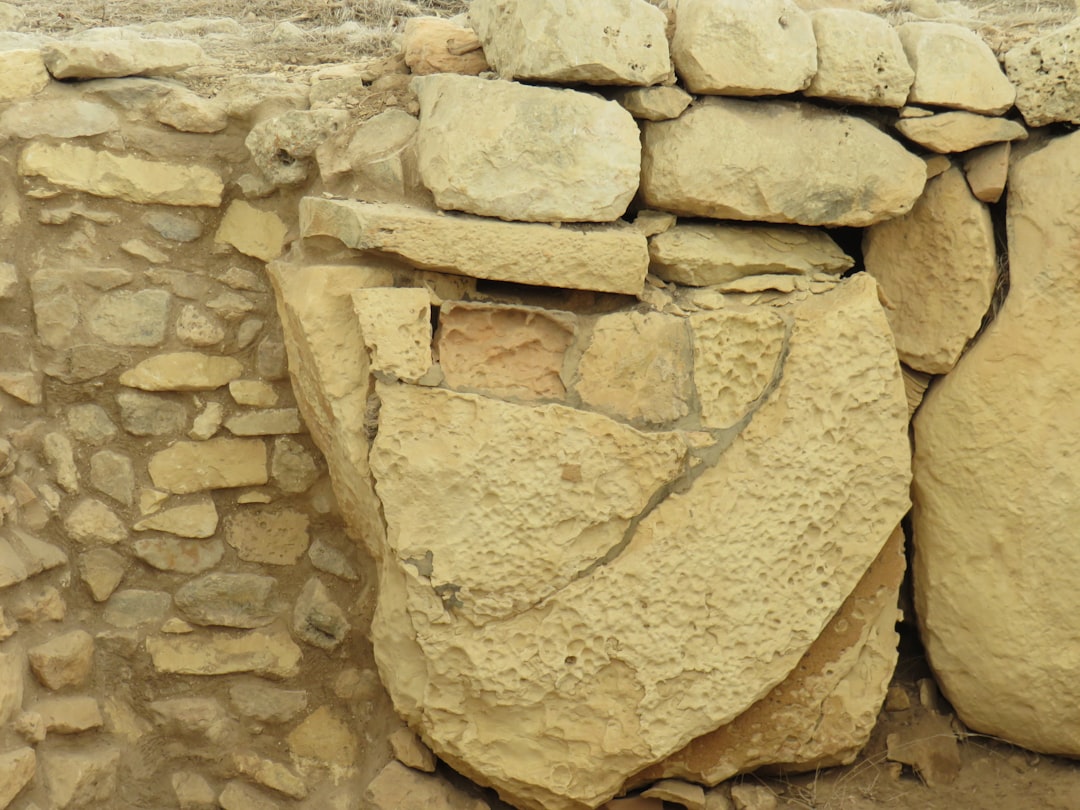
Historically, archaeologists relied on painstaking ground surveys. This involved clearing vegetation, meticulously mapping any visible remains, and conducting targeted excavations. This approach, while valuable, is inherently slow, labor-intensive, and limited in scope. The sheer size of the Amazon means that even a comprehensive ground survey would likely cover only a minuscule fraction of the potential archaeological landscape. Furthermore, the constant cycle of growth and decay in the rainforest can quickly reclaim any exposed sites, making them difficult to relocate.
Hindrances of Aerial Photography
While aerial photography offered an improved perspective, it too was largely hampered by the impenetrable forest canopy. Gaps in the foliage could occasionally reveal hints of ancient structures, such as crop marks or subtle changes in vegetation patterns, but these were often fleeting and difficult to interpret definitively. The dense leaf cover meant that many significant structures remained hidden from view, their presence only discernible through the laborious process of direct observation from the ground.
LIDAR: A Revolution in Seeing Through the Green
LIDAR, an acronym for Light Detection and Ranging, has emerged as a transformative technology for archaeologists working in the Amazon. This remote sensing method uses pulsed laser light to measure distances to the Earth’s surface, effectively creating highly detailed three-dimensional models of the terrain, even beneath dense vegetation.
How LIDAR Works to Reveal the Unseen
The fundamental principle of LIDAR involves a sensor emitting laser pulses towards the ground and measuring the time it takes for these pulses to return after reflecting off surfaces. By calculating the distance based on the speed of light and the return time, LIDAR creates a vast dataset of accurate elevation points. When flown over forested areas, the laser pulses can penetrate the canopy, bouncing off branches, leaves, and ultimately the ground below. Sophisticated algorithms then process this point cloud data, filtering out the vegetation returns and reconstructing a bare-earth digital elevation model (DEM). This DEM is akin to removing the forest digitally, revealing the underlying topography and any subtle human-made features that have been sculpted into it over millennia.
The Digital Archaeology Toolkit
The data generated by LIDAR surveys is processed using specialized Geographical Information System (GIS) software. This allows archaeologists to visualize, analyze, and interpret the revealed landscape. Features like raised platforms, defensive ditches, straight-line causeways, and even the faint outlines of ancient settlements can be identified with unprecedented clarity. It is as if LIDAR provides a high-resolution blueprint of the past, hidden beneath the present-day jungle.
Uncovering Lost Civilizations: Case Studies in Revelation
The application of LIDAR in the Amazon has already yielded remarkable discoveries, challenging long-held assumptions about the scale and complexity of pre-Columbian societies in the region. These findings are not isolated incidents but represent a growing body of evidence pointing towards extensive, organized, and populous civilizations.
The Llanos de Mojos: A Precursor to Urbanism
In Bolivia’s Beni Department, the vast savanna known as the Llanos de Mojos has long been recognized as a region of significant archaeological interest. LIDAR surveys conducted here have revealed an astonishing network of complex earthworks, including extensive causeways, raised fields, and canals. These features indicate a highly sophisticated understanding of landscape engineering and water management.
The Scale of Earthworks
The sheer magnitude of the earthworks in the Llanos de Mojos is what truly astounds. LIDAR mapping has shown that these are not mere agricultural terraces but vast, interconnected systems designed to manage vast areas of land for agriculture and habitation. The scale suggests a significant population engaged in organized labor for landscape modification.
Understanding Water Management
The intricate network of canals and reservoirs uncovered by LIDAR in the Llanos de Mojos points to advanced hydrological engineering. These systems likely served multiple purposes: irrigation for crops, drainage of waterlogged areas, and potentially even navigation. They represent a deliberate and sustained effort to shape the environment to support a large sedentary population.
The Upano Valley: A Glimpse of Eastern Ecuador’s Ancient Metropolis
Perhaps one of the most significant LIDAR discoveries to date has been in the Upano Valley of eastern Ecuador. Here, the technology has unveiled a sprawling network of interconnected settlements, roads, and agricultural terraces dating back approximately 2,500 years. This represents one of the oldest and most extensive examples of urbanism found in the Amazon.
A Network of Cities and Towns
The LIDAR data reveals not just isolated clusters of buildings but a finely tuned urban fabric. Numerous interconnected settlements, ranging in size from small hamlets to larger centers, are evident, linked by an impressive system of straight, wide roads. This suggests a highly integrated society with a complex social and political structure.
The Significance of Monumental Architecture
Within these settlements, LIDAR has identified numerous platform mounds, some of considerable size, topped with what appear to be residential and ceremonial structures. These monumental constructions indicate a society capable of mobilizing considerable labor and resources for public works, a hallmark of complex civilizations. The meticulous planning and construction of these sites speak to a sophisticated understanding of architecture and urban design.
Rethinking Amazonian Societies: Implications for Pre-Columbian History
The discoveries facilitated by LIDAR are not just adding new sites to an archaeological map; they are fundamentally reshaping our understanding of Amazonian pre-Columbian history. The narrative is shifting from one of simple subsistence to one of complex, organized societies with significant demographic and environmental impact.
Challenging the “Empty Amazon” Paradigm
For a long time, the prevailing view of the Amazon was that of a sparsely populated wilderness, incapable of supporting large, sedentary populations. The evidence, now amplified by LIDAR, directly contradicts this “empty Amazon” paradigm. It reveals a landscape that was, in many areas, actively shaped and managed by human societies, leading to what some researchers refer to as “cultural landscapes.”
The Scale of Human Impact
The scale of the earthworks and settlements uncovered by LIDAR demonstrates a significant and sustained human impact on the Amazonian environment. These were not ephemeral settlements but long-lived, organized communities that actively modified their surroundings for agriculture, habitation, and defense. This challenges the notion of the Amazon as a pristine wilderness untouched by human hands prior to European arrival.
Indigenous Knowledge and LIDAR Collaboration
The increasing use of LIDAR in Amazonian archaeology also highlights the crucial importance of collaborating with Indigenous communities. These communities possess invaluable ancestral knowledge about their territories, which can complement and enrich the findings from technological surveys.
The Guardians of the Land
Indigenous peoples have lived in and stewarded the Amazon for millennia, and their descendants often hold a deep understanding of the landscape. This can include knowledge of ancient trails, forgotten agricultural practices, and the cultural significance of certain sites, information that can be vital in interpreting LIDAR data and guiding further research.
A Symbiotic Relationship
The relationship between LIDAR technology and Indigenous knowledge is becoming increasingly symbiotic. LIDAR provides a broad, high-resolution overview of the landscape, identifying features that might otherwise remain hidden. Indigenous knowledge then provides context, cultural understanding, and historical depth to these findings, preventing them from being viewed in a purely technical or decontextualized manner. This collaborative approach is essential for responsible and ethical archaeological practice in the Amazon.
The Future of Amazonian Archaeology: A New Dawn
The advent of LIDAR technology has ushered in a new era for Amazonian archaeology. The ability to penetrate the dense forest canopy and reveal the hidden architectural and agricultural landscapes is opening up unprecedented avenues of research.
Expanding the Frontier of Discovery
As LIDAR technology becomes more accessible and widespread, it is poised to reveal many more lost cities and complex societies throughout the Amazon basin. The sheer scale of the region suggests that the discoveries made thus far are only scratching the surface of what lies hidden beneath the trees.
Towards a Holistic Understanding
The integration of LIDAR data with traditional archaeological methods, ethnohistorical research, and Indigenous knowledge offers the potential for a truly holistic understanding of Amazonian pre-Columbian history. This integrated approach promises to paint a far more nuanced and accurate picture of the diverse and sophisticated human societies that once thrived in this remarkable region. The secrets of the Amazon, once locked away by its verdant embrace, are now beginning to emerge, thanks to the keen eye of technology.

STOP: Why They Erased 50 Impossible Inventions From Your Textbooks
FAQs

What is LiDAR technology and how is it used in archaeology?
LiDAR (Light Detection and Ranging) is a remote sensing technology that uses laser pulses to create detailed 3D maps of the Earth’s surface. In archaeology, LiDAR is used to detect and map ancient structures, settlements, and landscape modifications hidden beneath dense vegetation, such as in the Amazon rainforest.
What significant archaeological discoveries have been made in the Amazon using LiDAR?
LiDAR has revealed extensive ancient urban centers, complex road networks, agricultural terraces, and large-scale earthworks in the Amazon. These discoveries have challenged previous assumptions about the region’s pre-Columbian societies, showing they were more advanced and densely populated than once believed.
Why is the Amazon rainforest a challenging environment for traditional archaeological surveys?
The dense vegetation and thick canopy of the Amazon rainforest make it difficult to visually identify archaeological sites from the ground or through aerial photography. Traditional excavation is also challenging due to the remote and often inaccessible terrain. LiDAR technology overcomes these obstacles by penetrating the canopy to reveal hidden structures.
How has LiDAR changed our understanding of pre-Columbian civilizations in the Amazon?
LiDAR has demonstrated that pre-Columbian civilizations in the Amazon were capable of large-scale urban planning and environmental management. The technology has uncovered evidence of complex societies with sophisticated infrastructure, contradicting earlier views that the region was sparsely inhabited by small, nomadic groups.
Are there any limitations to using LiDAR in archaeological research in the Amazon?
While LiDAR is highly effective at mapping surface features, it cannot directly date sites or reveal artifacts beneath the surface. Ground verification and excavation are still necessary to confirm findings and understand the cultural context. Additionally, LiDAR surveys can be expensive and require specialized equipment and expertise.