Dead reckoning is a fundamental navigation technique that has been employed by mariners and aviators for centuries. It involves calculating one’s current position based on a previously determined position, taking into account speed, time, and course. This method is particularly useful when other navigational aids are unavailable or unreliable.
By relying on dead reckoning, navigators can maintain a sense of direction and distance traveled, which is crucial for reaching their intended destination. The essence of dead reckoning lies in its simplicity and practicality. Navigators begin with a known position, often referred to as a “fix,” and then project their course forward based on their speed and the elapsed time.
This technique allows for continuous updates to one’s position, even in the absence of landmarks or celestial bodies. However, while dead reckoning is a powerful tool, it is not infallible. Factors such as wind, currents, and human error can significantly impact the accuracy of the calculations, making it essential for navigators to understand the principles behind this method thoroughly.
Key Takeaways
- Dead reckoning involves estimating current position using course, speed, time, and previous position without external references.
- Accurate tools like compasses, logbooks, and charts are essential for effective dead reckoning.
- Adjusting for currents, drift, and environmental factors is crucial to maintain navigation accuracy.
- Combining dead reckoning with celestial navigation and electronic aids enhances reliability.
- Regular practice and awareness of common errors improve dead reckoning proficiency, especially in poor visibility.
Tools and Equipment for Dead Reckoning
To effectively utilize dead reckoning, navigators require specific tools and equipment that facilitate accurate calculations and measurements. The most fundamental instrument is the compass, which provides direction and helps maintain a steady course. A reliable compass allows navigators to determine their heading and make necessary adjustments as they progress along their route.
Additionally, a log or speedometer is essential for measuring the vessel’s speed over time, which is crucial for calculating distance traveled. In conjunction with these basic tools, navigators often employ charts and maps to visualize their journey. Nautical charts provide detailed information about waterways, including depths, hazards, and navigational aids.
By plotting their course on these charts, navigators can better understand their surroundings and make informed decisions about their navigation strategy. Furthermore, a stopwatch or timer is invaluable for tracking elapsed time accurately, ensuring that speed calculations remain precise throughout the journey.
Calculating Course and Speed for Dead Reckoning

Calculating course and speed is a critical aspect of dead reckoning that requires careful attention to detail. To determine the course, navigators must establish their intended heading based on their destination and any potential obstacles along the way. This involves using a compass to set the desired direction while considering factors such as wind direction and strength, which may necessitate adjustments to maintain the intended path.
Speed calculations are equally important in dead reckoning. Navigators typically measure their speed in knots, which represents nautical miles per hour. By using a log or speedometer, they can monitor their vessel’s speed over time.
Once the speed is established, it can be multiplied by the time traveled to calculate the distance covered. For example, if a vessel travels at a speed of 5 knots for 2 hours, it would cover a distance of 10 nautical miles. This distance can then be plotted on a chart to update the navigator’s position accordingly.
Compensating for Currents and Drift in Dead Reckoning
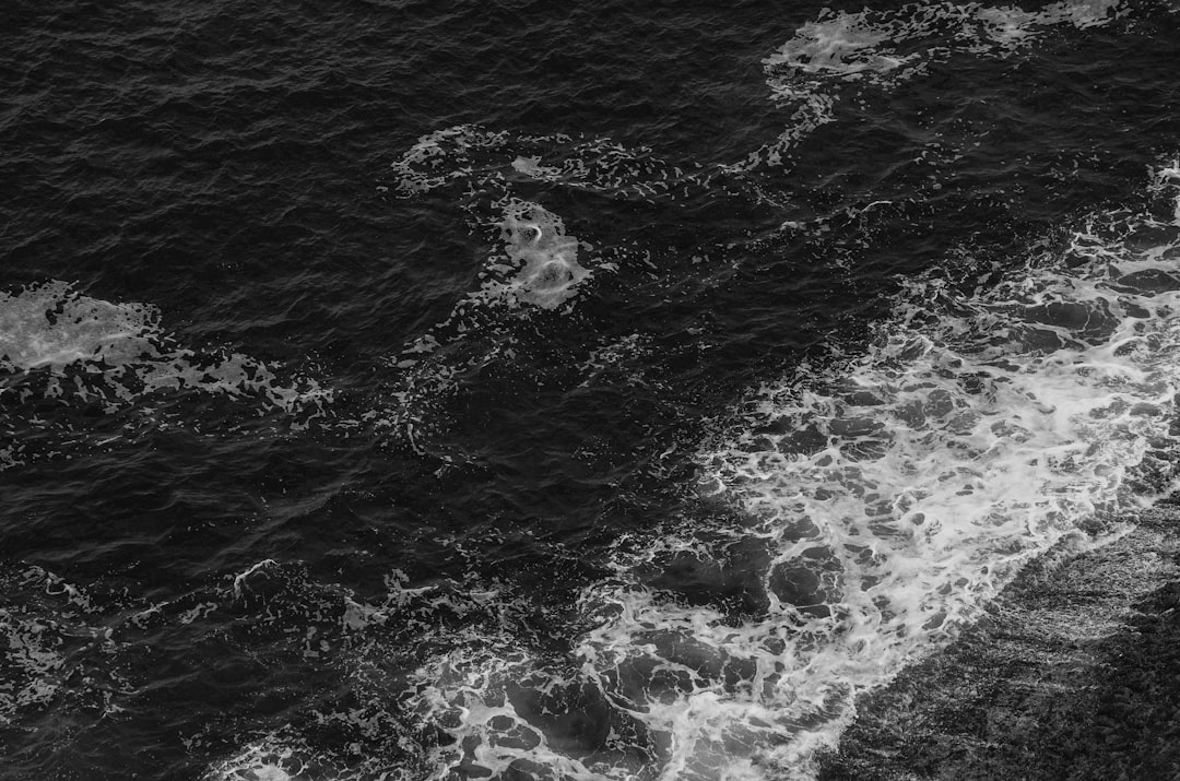
One of the significant challenges in dead reckoning is compensating for external factors such as currents and drift. Water currents can significantly affect a vessel’s actual path, causing it to drift off course even if the navigator maintains a steady heading. To account for these influences, navigators must be aware of local current patterns and adjust their calculations accordingly.
To compensate for currents, navigators often use vector analysis to determine the resultant course. This involves plotting both the intended course and the current’s direction on a chart to visualize how they interact. By adjusting their heading to counteract the current’s influence, navigators can maintain a more accurate course toward their destination.
Additionally, keeping a close eye on drift allows them to make real-time adjustments as conditions change, ensuring that they remain on track despite external forces.
Using Celestial Navigation in Dead Reckoning
| Metric | Description | Typical Values | Units | Importance in Dead Reckoning |
|---|---|---|---|---|
| Speed | Vessel’s speed through water | 0 – 30 | knots | Essential for calculating distance traveled over time |
| Course | Direction vessel is steered | 0 – 360 | degrees (true or magnetic) | Determines direction of travel for position estimation |
| Time Interval | Duration between position updates | Minutes to hours | minutes/hours | Used to calculate distance traveled from speed |
| Distance Traveled | Distance covered since last known position | Varies with speed and time | nautical miles | Key component in updating dead reckoning position |
| Set and Drift | Effect of current on vessel’s course and speed | 0 – 5 | knots and degrees | Adjusts dead reckoning position for current influence |
| Heading | Direction vessel’s bow points | 0 – 360 | degrees | Used to maintain intended course and correct dead reckoning |
| Position Fix Accuracy | Accuracy of last known position | ±0.1 – ±1.0 | nautical miles | Baseline for dead reckoning calculations |
Celestial navigation can serve as a valuable complement to dead reckoning, particularly when navigating over open water where landmarks are scarce. By observing celestial bodies such as the sun, moon, stars, and planets, navigators can determine their position relative to these fixed points in the sky. This method provides an additional layer of accuracy that can help verify or correct dead reckoning calculations.
To utilize celestial navigation effectively, navigators must be familiar with various techniques such as sight reduction and using sextants to measure angles between celestial bodies and the horizon. By taking these measurements at specific times and comparing them with published astronomical data, they can calculate their latitude and longitude with remarkable precision. Integrating celestial navigation with dead reckoning allows navigators to cross-check their position and make necessary adjustments based on celestial observations.
Tips for Accurate Dead Reckoning

Achieving accuracy in dead reckoning requires diligence and attention to detail. One essential tip is to regularly update calculations based on new information or observations. As conditions change—whether due to shifts in wind or current—navigators should reassess their position and make adjustments accordingly.
Regularly plotting positions on charts helps maintain awareness of any discrepancies between calculated and actual locations.
When navigating as part of a team, clear communication ensures that everyone is aware of the current course, speed, and any changes made during the journey.
This collaborative approach minimizes errors and enhances overall situational awareness, allowing for more effective navigation.
Common Errors in Dead Reckoning and How to Avoid Them
Despite its effectiveness, dead reckoning is susceptible to various errors that can compromise navigation accuracy. One common mistake is failing to account for changes in speed or course due to environmental factors such as wind or currents. To mitigate this risk, navigators should regularly monitor conditions and adjust their calculations accordingly.
Another frequent error occurs when navigators neglect to update their position frequently enough. Relying solely on initial calculations without considering subsequent changes can lead to significant discrepancies over time. To avoid this pitfall, it is essential for navigators to establish a routine for updating positions at regular intervals or after significant changes in course or speed.
Incorporating Electronic Navigation Aids with Dead Reckoning
In today’s technologically advanced world, electronic navigation aids have become invaluable tools for enhancing dead reckoning accuracy. Devices such as GPS (Global Positioning System) provide real-time positioning data that can complement traditional dead reckoning methods. By integrating electronic aids with manual calculations, navigators can cross-check their positions and ensure greater accuracy throughout their journey.
While electronic navigation aids offer numerous advantages, it is crucial for navigators to remain proficient in traditional dead reckoning techniques. Technology can fail or become unreliable due to various factors such as signal loss or equipment malfunction. Therefore, maintaining skills in manual navigation ensures that navigators are prepared to navigate effectively even when electronic aids are unavailable.
Using Dead Reckoning in Conjunction with GPS
Combining dead reckoning with GPS technology creates a powerful navigation strategy that enhances overall accuracy and reliability. While GPS provides precise positioning data based on satellite signals, dead reckoning allows navigators to maintain situational awareness during periods when GPS signals may be weak or interrupted. Navigators can use GPS data to verify their dead reckoning calculations periodically.
For instance, if a navigator has been tracking their position using dead reckoning but suspects they may have drifted off course due to currents or other factors, they can consult GPS data to confirm their actual location. This dual approach not only increases confidence in navigation but also serves as a valuable learning tool for understanding how different methods complement one another.
Navigating in Poor Visibility Using Dead Reckoning
Navigating in poor visibility conditions—such as fog, rain, or darkness—presents unique challenges that make dead reckoning an essential skill for mariners and aviators alike. In these situations, visual references are often limited or nonexistent, making it crucial for navigators to rely on their calculations and instruments. To navigate effectively in low visibility conditions using dead reckoning, it is vital for navigators to maintain a steady pace and keep track of time accurately.
Regularly updating positions based on elapsed time and speed becomes even more critical when visual cues are lacking. Additionally, using sound signals or radar can help detect nearby vessels or obstacles that may not be visible but could pose risks during navigation.
Practicing and Refining Dead Reckoning Skills
Like any skill set, proficiency in dead reckoning requires consistent practice and refinement over time. Navigators should engage in regular drills that simulate various scenarios—such as navigating through challenging weather conditions or using celestial navigation techniques—to build confidence and competence in their abilities. Furthermore, seeking feedback from experienced navigators can provide valuable insights into areas for improvement.
Participating in workshops or training sessions focused on navigation techniques allows individuals to learn from others’ experiences while honing their skills in real-world situations. By committing to ongoing practice and education, navigators can ensure they remain adept at using dead reckoning effectively throughout their careers. In conclusion, dead reckoning remains an essential navigation technique that combines traditional skills with modern technology.
By understanding its principles, utilizing appropriate tools, compensating for external factors, and practicing regularly, navigators can enhance their ability to navigate accurately across various environments and conditions.
Dead reckoning is a crucial technique in maritime navigation, allowing sailors to estimate their current position based on a previously determined location, speed, and course. For those interested in exploring more about the intricacies of navigation methods, a related article can be found at this link, which delves into various navigation strategies and their historical significance. Understanding these methods not only enhances navigational skills but also provides insight into the evolution of maritime practices.
WATCH THIS! 🗺️ The Map That Proves Humans Explored Earth 5,000 Years Too Early
FAQs
What is dead reckoning in maritime navigation?
Dead reckoning is a method of estimating a ship’s current position by using a previously known position and advancing that position based on the ship’s course, speed, time, and direction traveled.
How does dead reckoning work?
Dead reckoning involves plotting a course from a known starting point and calculating the ship’s new position by accounting for speed, heading, and elapsed time. This method does not rely on external references like landmarks or celestial observations.
What instruments are used in dead reckoning navigation?
Common instruments include a compass for direction, a log or speedometer for speed measurement, a chronometer or clock for time, and charts for plotting the estimated position.
What are the limitations of dead reckoning?
Dead reckoning is prone to cumulative errors due to factors like currents, wind, steering inaccuracies, and instrument errors. Over time, these errors can cause significant discrepancies between the estimated and actual positions.
Why is dead reckoning still used today?
Despite advances in GPS and electronic navigation, dead reckoning remains a valuable backup method when electronic systems fail or are unavailable. It also helps navigators understand and verify their position.
How often should dead reckoning positions be updated?
Dead reckoning positions should be updated regularly, typically every few minutes or after any change in course or speed, to maintain the most accurate estimate possible.
Can dead reckoning be combined with other navigation methods?
Yes, dead reckoning is often combined with celestial navigation, radar fixes, GPS, and visual bearings to improve accuracy and confirm the vessel’s position.
What is the historical significance of dead reckoning?
Dead reckoning has been a fundamental navigation technique for centuries, enabling mariners to traverse oceans before the advent of modern electronic navigation tools. It laid the groundwork for the development of more advanced navigation methods.