In the 1500s, navigational accuracy was paramount for explorers and traders alike. The age of exploration was in full swing, with European powers seeking new trade routes and territories across the globe.
Ships that strayed off course could easily become lost at sea, leading to disastrous consequences for both crew and cargo. The stakes were high, as voyages often lasted months, and the vastness of the oceans posed significant risks. A single miscalculation could result in ships running aground on uncharted shores or drifting into hostile waters.
Moreover, the quest for new lands and resources fueled competition among nations. Spain, Portugal, England, and France were all vying for dominance in trade and colonization. Navigational accuracy became a tool of power, enabling nations to claim territories and establish trade routes that would enrich their coffers.
The ability to navigate effectively not only determined the success of individual voyages but also shaped the geopolitical landscape of the time. As such, the importance of navigational accuracy in the 1500s cannot be overstated; it was a critical factor that influenced exploration, trade, and the very course of history.
Key Takeaways
- Navigational accuracy was crucial for successful sea voyages and trade in the 1500s.
- Mariners relied heavily on stars, rudimentary tools, and emerging nautical charts to navigate.
- Determining longitude remained a significant challenge, impacting voyage precision.
- Weather conditions frequently affected navigational accuracy and expedition outcomes.
- Advances in navigation during the 1500s laid the foundation for future exploration and maritime success.
Tools and Methods for Navigating at Sea
Navigators in the 1500s relied on a variety of tools and methods to chart their courses across the unpredictable seas. One of the most fundamental instruments was the compass, which provided sailors with a reliable means of determining direction. The magnetic compass, having been introduced to Europe from the East, became an indispensable tool for mariners.
It allowed them to maintain a steady course even when visibility was poor or when they were far from familiar landmarks. However, while the compass indicated direction, it did not provide information about a ship’s position or distance traveled. In addition to the compass, navigators employed dead reckoning as a primary method for determining their position at sea.
This technique involved calculating one’s current position based on a previously known location, taking into account speed, time traveled, and direction. While dead reckoning was useful, it was not infallible; errors could accumulate over time due to factors such as ocean currents and wind. To supplement this method, navigators also used celestial navigation, which involved observing the positions of celestial bodies like the sun and stars to ascertain their latitude.
This combination of tools and methods formed the backbone of maritime navigation during this era, allowing sailors to venture further into uncharted waters.
The Role of the Stars in Navigational Accuracy

The stars played a crucial role in enhancing navigational accuracy during the 1500s. Celestial navigation relied heavily on the observation of stars to determine latitude, which is essential for establishing a ship’s position on the globe. Sailors learned to identify key constellations and celestial bodies that would guide them on their journeys.
For instance, the North Star, or Polaris, served as a reliable point of reference for navigators in the Northern Hemisphere. Its fixed position in the sky made it an invaluable tool for determining northward direction. Navigators also utilized other celestial phenomena, such as the sun’s position at noon, to calculate their latitude more precisely.
By measuring the angle between the horizon and the sun using a quadrant or astrolabe, sailors could determine how far they were from the equator. However, while stars provided essential guidance for latitude, they did not assist in determining longitude—a challenge that would remain unresolved for centuries. Despite this limitation, the ability to navigate by stars significantly improved maritime exploration and trade during this period, allowing sailors to traverse vast distances with greater confidence.
The Challenge of Determining Longitude
While navigators made significant strides in determining latitude using celestial bodies, the challenge of calculating longitude remained a formidable obstacle in the 1500s. Longitude is defined as a measure of how far east or west a ship is from a reference point, typically the Prime Meridian. Unlike latitude, which could be determined by observing the sun or stars at specific times, longitude required precise timekeeping—a technology that was still in its infancy during this era.
To calculate longitude accurately, navigators needed to know their exact time at sea compared to a known reference point on land. This required an accurate marine chronometer, which did not exist until much later. As a result, sailors often relied on dead reckoning and estimations based on speed and direction traveled.
Unfortunately, these methods were prone to error and could lead to significant discrepancies in a ship’s actual position.
The Impact of Weather on Navigational Accuracy
| Year | Region | Typical Navigational Accuracy | Primary Navigation Tools | Notes |
|---|---|---|---|---|
| 1500 | Europe | Approx. 50-100 nautical miles | Magnetic compass, dead reckoning, portolan charts | Limited longitude determination; latitude estimated by sun height |
| 1520 | Portugal/Spain | Approx. 30-50 nautical miles | Improved portolan charts, astrolabe, quadrant | Better latitude measurements; longitude still problematic |
| 1550 | Europe | Approx. 20-40 nautical miles | Cross-staff, improved compass, early marine chronometers (rudimentary) | Incremental improvements in latitude; longitude accuracy remains poor |
| 1590 | Europe | Approx. 10-30 nautical miles | Backstaff, improved charts, early attempts at longitude calculation | Longitude determination still unreliable; latitude more precise |
Weather conditions posed another significant challenge to navigational accuracy in the 1500s. Sailors had to contend with unpredictable storms, fog, and changing winds that could alter their course dramatically. Inclement weather could obscure visibility and make it difficult to take celestial readings or maintain a steady course.
As a result, navigators had to develop skills in reading weather patterns and understanding how they affected their voyages. Moreover, adverse weather conditions could lead to delays or even shipwrecks if navigators were unable to adjust their routes accordingly. The impact of weather on navigation was particularly pronounced during long voyages when sailors were far from land and reliant on their skills to navigate through treacherous conditions.
As such, understanding weather patterns became an essential aspect of maritime navigation during this period, influencing not only individual voyages but also broader trade routes and exploration efforts.
The Influence of Trade Routes on Navigational Accuracy
Trade routes played a pivotal role in shaping navigational accuracy during the 1500s. As European powers sought new markets and resources across the globe, established trade routes became vital arteries for commerce and exploration. Navigators needed to be acutely aware of these routes to ensure they could transport goods efficiently and safely.
The competition for control over lucrative trade routes often led to conflicts between nations and private enterprises alike. Navigators relied on accumulated knowledge from previous voyages along these routes to enhance their own navigational accuracy. Maps and charts created by earlier explorers provided valuable insights into coastal features, currents, and potential hazards along established paths.
However, as new territories were discovered and trade expanded into uncharted waters, navigators faced the challenge of adapting their skills to unfamiliar environments. The interplay between trade routes and navigational accuracy thus became a dynamic relationship that influenced both economic prosperity and exploration during this transformative period.
The Development of Nautical Charts and Maps
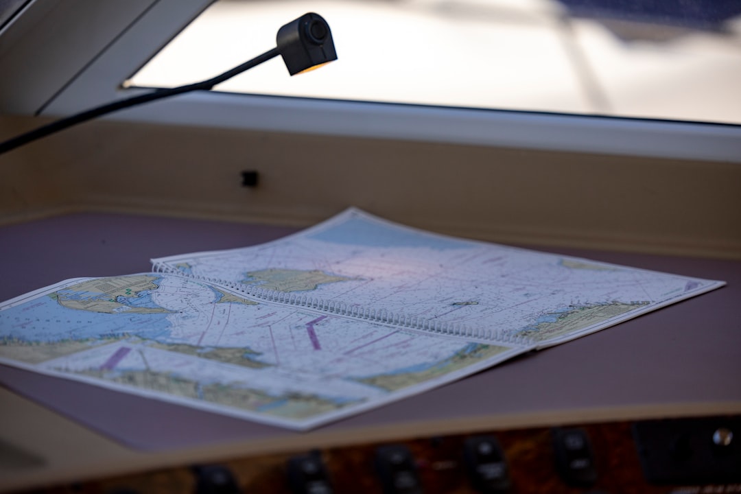
The 1500s witnessed significant advancements in the development of nautical charts and maps that greatly enhanced navigational accuracy. Early maps were often rudimentary and lacked detail; however, as exploration intensified, cartographers began to create more sophisticated representations of coastlines, currents, and other geographical features. These charts became essential tools for navigators seeking to traverse vast oceans with greater confidence.
One notable advancement was the introduction of portolan charts—detailed maps that depicted coastlines with remarkable accuracy and included information about harbors and navigational hazards. These charts were often based on firsthand accounts from sailors who had traversed specific routes, making them invaluable resources for future voyages. Additionally, advancements in printing technology allowed for wider distribution of these charts, enabling more sailors to access critical navigational information that would improve their chances of success at sea.
The Role of Navigational Errors in Historical Expeditions
Navigational errors played a significant role in shaping historical expeditions during the 1500s. Despite advancements in tools and methods, mistakes were common due to various factors such as human error, equipment limitations, and environmental challenges. These errors often had profound consequences for explorers and their missions.
For instance, Christopher Columbus’s initial voyages were marked by miscalculations regarding distance and direction that led him to believe he had reached Asia when he had actually discovered the Americas. Such errors not only altered the course of individual expeditions but also had far-reaching implications for global trade and colonization efforts. Similarly, other explorers faced challenges stemming from navigational inaccuracies that resulted in lost ships or unintended encounters with hostile territories.
The Evolution of Navigational Techniques in the 1500s
The 1500s marked a period of significant evolution in navigational techniques as explorers sought to refine their skills amid growing competition for overseas territories. As knowledge accumulated through exploration and trade expanded across continents, navigators began to adopt more systematic approaches to navigation. One notable development was the increased emphasis on empirical observation—navigators began documenting their experiences more rigorously and sharing insights with one another.
This collaborative spirit fostered innovation as sailors experimented with new techniques and tools to improve their accuracy at sea. Additionally, advancements in mathematics played a crucial role in refining navigational calculations; trigonometry became increasingly important for determining angles between celestial bodies and horizons.
The Influence of Exploration on Navigational Accuracy
Exploration itself served as both a catalyst for advancements in navigational accuracy and a reflection of its importance during the 1500s. As explorers ventured into uncharted territories seeking new lands and resources, they faced numerous challenges that necessitated improvements in navigation techniques. The desire for accurate navigation drove innovations such as more precise instruments like sextants and improved methods for calculating latitude and longitude over time.
Furthermore, explorers’ experiences contributed significantly to cartographic knowledge; their discoveries prompted updates to existing maps that reflected newfound geographical realities. This reciprocal relationship between exploration and navigation underscored how each influenced the other throughout this transformative period.
The Legacy of Navigational Accuracy in the 1500s
The legacy of navigational accuracy established during the 1500s continues to resonate today within maritime practices and exploration endeavors worldwide. The advancements made during this era laid foundational principles that would shape future developments in navigation technology—culminating eventually in modern GPS systems that rely on satellite technology. Moreover, lessons learned from navigational errors experienced by explorers have informed contemporary practices regarding safety protocols at sea—emphasizing thorough preparation before embarking on voyages into unknown waters.
Ultimately, understanding how navigational accuracy evolved during this pivotal century provides valuable insights into humanity’s enduring quest for exploration while highlighting its profound impact on global history.
In the 1500s, navigational accuracy was crucial for explorers as they ventured into uncharted waters. The advancements in cartography and the development of navigational instruments significantly improved maritime travel during this period. For a deeper understanding of the historical context and the evolution of navigation, you can read more in this related article on navigational techniques and their impact on exploration: Navigational Techniques in the 1500s.
WATCH THIS! 🗺️ The Map That Proves Humans Explored Earth 5,000 Years Too Early
FAQs
What was navigational accuracy like in the 1500s?
Navigational accuracy in the 1500s was limited compared to modern standards. Mariners primarily relied on dead reckoning, celestial navigation using the sun and stars, and rudimentary instruments like the compass and astrolabe. Precise longitude measurement was not yet possible, which often led to errors in determining exact positions at sea.
What tools were used for navigation in the 1500s?
Common navigational tools in the 1500s included the magnetic compass, astrolabe, cross-staff, and later the backstaff. Mariners also used portolan charts, which were detailed coastal maps, and relied heavily on celestial bodies for determining latitude.
How did sailors determine their position at sea during the 1500s?
Sailors primarily determined their latitude by measuring the angle of the sun at noon or the altitude of the North Star (Polaris) at night using instruments like the astrolabe or cross-staff. However, determining longitude was much more challenging and often estimated through dead reckoning, which involved calculating speed, direction, and time traveled.
Why was longitude difficult to measure accurately in the 1500s?
Longitude measurement required knowing the exact time difference between a reference location and the ship’s current position. Since accurate marine chronometers had not yet been invented, sailors could not keep precise time at sea, making longitude calculations unreliable and leading to navigational errors.
What impact did navigational accuracy have on exploration in the 1500s?
Limited navigational accuracy affected the safety and success of voyages during the Age of Discovery. Explorers sometimes became lost or landed far from intended destinations. Despite these challenges, advancements in navigation during the 1500s enabled significant exploration, including transoceanic voyages that expanded European knowledge of the world.
Were there any significant advancements in navigation during the 1500s?
Yes, the 1500s saw improvements such as the refinement of the magnetic compass, better sea charts (portolan charts), and the development of more accurate instruments like the backstaff. These advancements gradually improved navigational accuracy, although precise longitude measurement remained elusive until later centuries.