The vast, unforgiving continent of Antarctica, a land presently draped in an impenetrable mantle of ice, has long captivated the human imagination. Its remote, desolate nature seemingly precludes any significant human presence, yet whispers and theories persist regarding a hidden past, one that potentially involves advanced civilizations and a history far more dynamic than conventional understanding permits. This article delves into the various facets of these claims, scrutinizing archaeological oddities, geological anomalies, and historical accounts that challenge the established narrative of Antarctica as a perpetually barren wasteland.
For centuries, Antarctica has been perceived as a land of extreme cold, inhospitable to all but the hardiest forms of life. Its immense ice sheet, reaching depths of several kilometers in places, is presumed to be a relatively recent geological feature, having formed over millions of years. This conventional wisdom dictates that any possibility of advanced civilizations existing on the continent is utterly preposterous, as such societies require temperate climates, accessible resources, and stable environments – none of which are associated with present-day Antarctica.
The accepted geological timeline
Geologists generally agree that the Antarctic ice sheet began to form around 34 million years ago, during the Eocene-Oligocene transition, gradually expanding to its current immense size over subsequent millennia. This glaciation event is attributed to changes in atmospheric carbon dioxide levels and the breakup of the supercontinent Gondwana, which led to the formation of the Circumpolar Current, thermally isolating Antarctica.
Paleoclimatic data and its interpretations
Scientific consensus on Antarctica’s past climate is largely derived from ice core samples, marine sediments, and fossil evidence. These data consistently point to a significantly warmer past for Antarctica, with parts of the continent experiencing temperate rainforests as recently as 50 million years ago. However, the prevailing view is that this warmth predates any plausible emergence of advanced human civilization, which is commonly dated to the last 10,000 to 12,000 years, following the last glacial maximum.
The human element in Antarctic history
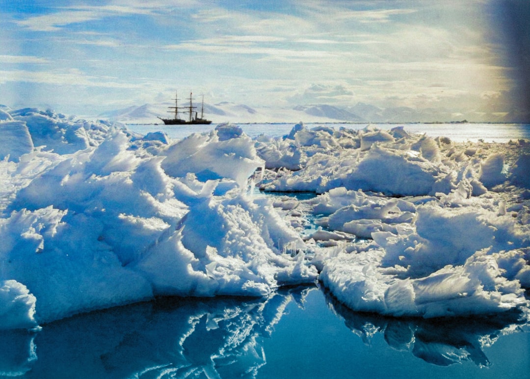
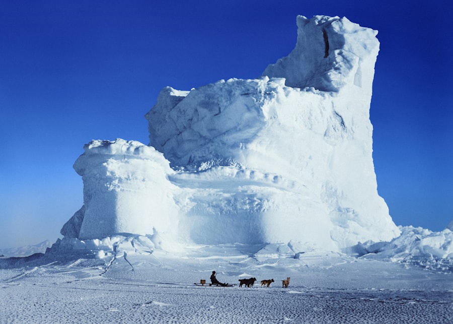
From an anthropological perspective, the earliest confirmed human presence in Antarctica dates to the early 19th century with the arrival of sealers and explorers. No indigenous populations are known to have ever inhabited the continent. The prevailing understanding of human migration patterns and technological development places the cradles of civilization in much warmer, more hospitable regions of the globe.
The mysteries surrounding Antarctica and its potential connections to ancient history have long fueled speculation and debate among historians and enthusiasts alike. One intriguing article that delves into the historical lies and myths associated with this icy continent is available at this link. It explores various theories about lost civilizations and the implications of these narratives on our understanding of human history, challenging the conventional perspectives that have been widely accepted.
Cartographic Anomalies: Maps That Defy Explanation
Amidst the prevailing scientific consensus, certain historical maps have surfaced, presenting an intriguing challenge to the accepted narrative. These maps, particularly the Piri Reis map and the Oronteus Finaeus map, appear to depict Antarctica with remarkable accuracy hundreds of years before its official discovery and, more astonishingly, in a deglaciated state.
The Piri Reis Map (1513)
The Piri Reis map, compiled by the Ottoman admiral and cartographer Piri Reis in 1513, is one of the most enigmatic cartographic artifacts. It depicts the coastlines of North and South America, Africa, and a landmass believed by some to be Antarctica, specifically Queen Maud Land, free of ice. This depiction is significant because Queen Maud Land, as we know it today, is entirely covered by a thick ice sheet.
Claims of pre-glacial accuracy
Proponents of an ancient Antarctic civilization often cite the Piri Reis map as evidence of advanced ancient cartography or knowledge passed down from earlier, unknown civilizations. They suggest that the map’s accuracy regarding an ice-free Antarctica could only have been achieved through aerial surveys or highly sophisticated surveying techniques, implying a technological capacity far beyond what is attributed to 16th-century explorers or even earlier societies. Critics, however, argue that the “Antarctica” depicted on the Piri Reis map is either a misidentified portion of South America or a speculative, imagined land.
The source material controversy
Piri Reis himself stated that his map was compiled from twenty older maps, including some dating back to the time of Alexander the Great. This admission opens the door to the possibility that the accurate depiction of an ice-free Antarctica could have been derived from much older source material, predating the formation of the current ice sheet or depicting a period when portions of the continent were indeed exposed.
The Oronteus Finaeus Map (1531)
Another map often cited in this context is the Oronteus Finaeus map, created by the French cartographer Oronteus Finaeus in 1531. This map explicitly labels a large southern continent as “Terra Australis,” depicting rivers, mountain ranges, and ice-free coastlines that bear a striking resemblance to the underlying topography of Antarctica, particularly the region of Dronning Maud Land.
Detailed features of a deglaciated continent
The Oronteus Finaeus map is particularly compelling due to its inclusion of detailed features such as river systems and mountain ranges, all currently buried under ice. For some, these details are irrefutable proof that the map’s creators possessed knowledge of Antarctica’s true landmass beneath the ice, knowledge that could only have been obtained when those features were exposed.
The mystery of precise longitudes
Both the Piri Reis and Oronteus Finaeus maps exhibit a level of accuracy in longitude that was supposedly impossible without precise chronometers, a technology not available until the 18th century. This perceived anachronism further fuels speculation about advanced ancient navigators or the transference of lost knowledge. Mainstream cartographic historians, however, often attribute such accuracy to serendipity, compensatory errors, or adjustments made to earlier, less accurate data.
Subglacial Anomalies: Unearthing the Unseen
Beyond cartographic curiosities, modern scientific investigations of Antarctica have inadvertently revealed intriguing features beneath the ice sheet, some of which fuel speculation about artificial structures or pre-existing landforms that deviate from natural geological processes.
Lake Vostok and its potential secrets
Lake Vostok, one of the largest subglacial lakes in Antarctica, lies beneath approximately four kilometers of ice. Its isolation from the surface for millions of years makes it a prime candidate for hosting unique ecosystems, but also sparks broader imaginations about what might lie beneath the vast expanse of the ice.
Geophysical surveys and unexpected shapes
Geophysical surveys, using radar and seismic imaging, have revealed complex topography on the bedrock beneath Lake Vostok. While most of these features are interpreted as natural geological formations, the sheer scale and remoteness of such discoveries inevitably lead some to hypothesize about structures that might hint at a non-natural origin, even if such claims are unsupported by direct evidence.
The question of access and untouched environments
The profound depth and isolation of Lake Vostok present an almost insurmountable barrier to direct human exploration. This inaccessibility transforms the lake into a symbolic repository of the unknown, a tabula rasa upon which theories about hidden histories can be projected. The notion of an “untouched” environment, millions of years in cryogenic stasis, invites reveries of perfectly preserved relics awaiting discovery.
Radar imagery and geometrical patterns
Advances in ice-penetrating radar technology have allowed scientists to peer through the ice sheet, revealing the contours of the subglacial landscape. While most of these images depict expected geological features – mountains, valleys, and plains – some enthusiasts point to specific patterns or linear arrangements as potential evidence of artificiality.
Interpreting “unnatural” formations
The interpretation of radar imagery is inherently complex and often requires sophisticated algorithms to differentiate genuine geological structures from artifacts or noise. Nevertheless, some individuals have identified what they perceive as “geometric” or “arranged” patterns in subglacial radar data, suggesting foundations, walls, or remnants of structures buried beneath the ice. Such interpretations are widely dismissed by the scientific community as pareidolia, the human tendency to perceive meaningful patterns in random data.
The challenges of definitive identification
The limitations of radar technology mean that definitive identification of artificial structures is exceedingly difficult, if not impossible, without direct drilling or excavation. The sheer scale of Antarctica, coupled with the immense thickness of the ice, renders such endeavors logistically and financially prohibitive for widespread exploration, leaving most subglacial anomalies as points of unresolved curiosity rather than concrete evidence.
The Pole Shift Hypothesis and Cataclysmic Events
A central argument for an advanced civilization in ancient Antarctica often hinges on the concept of rapid geochronological shifts, such as sudden pole shifts or catastrophic geological events. These theories propose that Antarctica was once located in a more temperate zone, enabling the flourishing of complex societies, before a cataclysmic shift plunged it into its current icy predicament.
Charles Hapgood’s pole shift theory
One of the most widely referenced theories is that of Charles Hapgood, presented in his book “Earth’s Shifting Crust” (1958) and later supported by Albert Einstein. Hapgood posited that the Earth’s crust can periodically shift, causing continents to rapidly relocate to different latitudes. In his model, Antarctica was once located much further north, nearer the equator, enjoying a mild climate conducive to life and potentially, civilization.
Evidence from ancient coastlines and sediments
Hapgood based his theory, in part, on evidence of past sea levels and geological formations that he believed to be inconsistent with gradual tectonic plate movement. He argued that sudden shifts could better explain the rapid glaciation and deglaciation events observed in paleoclimate records.
The scientific critique of crustal displacement
While the concept of plate tectonics explains continental drift over millions of years, Hapgood’s theory of rapid “crustal displacement” or “pole shift” is not supported by mainstream geology. Geologists emphasize the enormous forces required to rapidly shift the entire lithosphere and the absence of any credible mechanism for such a phenomenon within observable geological processes.
Edgar Cayce and the Atlantis connection
The psychic Edgar Cayce, known for his “readings,” made numerous predictions and pronouncements about ancient civilizations, including Atlantis. Interestingly, Cayce’s readings also touched upon Antarctica, suggesting a past connection to vanished lands and advanced knowledge.
Prophecies of rediscovered technology
Cayce’s readings sometimes alluded to the eventual discovery of ancient records or advanced technologies hidden beneath the ice of Antarctica, linking the continent to a grander narrative of lost civilizations and forgotten knowledge. These prophecies contribute to the mystical allure of Antarctica, weaving it into a tapestry of global Atlantean lore.
The challenge of empirical verification
However, like all psychic pronouncements, Cayce’s readings lack empirical verification and are not considered scientific evidence. They contribute to the cultural narrative surrounding ancient Antarctica but do not provide testable hypotheses for scientific inquiry.
Throughout history, numerous myths and misconceptions have emerged regarding Antarctica and its ancient past, often fueled by a blend of speculation and intrigue. A fascinating exploration of these historical lies can be found in a related article that delves into the enigmatic narratives surrounding this icy continent. For those interested in uncovering the truth behind these tales, the article offers a compelling examination of the evidence and theories that have shaped our understanding of Antarctica’s role in ancient history. You can read more about it in this insightful piece on historical misconceptions.
The Modern Antarctic Enigma: A Legacy of Rumors and Speculations
| Claim | Description | Origin | Debunking Evidence | Impact on Ancient History Theories |
|---|---|---|---|---|
| Antarctica was known to ancient civilizations | Claims that ancient maps show Antarctica without ice, suggesting early knowledge | Popularized by interpretations of the Piri Reis map (1513) | Modern analysis shows the map depicts South America, not Antarctica; no evidence of ice-free continent knowledge | Used to support theories of advanced ancient civilizations or lost knowledge |
| Ancient civilizations lived on Antarctica | Claims that Antarctica was once inhabited by ancient peoples before ice age | Speculative theories from fringe authors and conspiracy theorists | No archaeological evidence; Antarctica has been covered by ice for millions of years | Supports pseudoscientific ideas about lost civilizations like Atlantis |
| Antarctica as the location of Atlantis | Theory that Plato’s Atlantis was located in Antarctica | Modern reinterpretations of Plato’s texts combined with Antarctica myths | Geological and historical data do not support this; Atlantis is widely considered a myth | Influences alternative history narratives and pseudoarchaeology |
| Secret ancient bases under Antarctic ice | Claims of hidden ancient or alien bases beneath the ice | Conspiracy theories popularized in 20th and 21st centuries | No credible scientific evidence; satellite and research data show no such structures | Feeds into conspiracy culture and misinformation about Antarctica |
Even in contemporary times, Antarctica remains a fertile ground for rumors, conspiracies, and speculation, fueled by its inaccessibility and the occasional release of intriguing, yet often ambiguous, scientific data.
Allegations of secret bases and hidden agendas
The sheer remoteness of Antarctica and its status as an international territory have made it a magnet for conspiracy theories. Allegations of secret Nazi bases, extraterrestrial activity, and hidden repositories of advanced technology abound. These narratives often intertwine with the idea of a lost ancient civilization, suggesting that contemporary powers are either concealing or exploiting ancient secrets discovered on the continent.
“Operation Highjump” and the Nazi conspiracy
One of the most enduring theories involves “Operation Highjump,” a large-scale US Navy expedition to Antarctica in 1946-1947. Conspiracy theorists often claim that this expedition was, in fact, a mission to seek out and destroy a secret Nazi base established during World War II, a base supposedly built to house advanced technology or even artifacts from ancient civilizations. These claims are unsupported by declassified documents, which indicate the expedition’s primary goals were training, mapping, and scientific research.
UFO sightings and anomalous aerial phenomena
Reports of UFO sightings and unexplained aerial phenomena over Antarctica also contribute to its reputation as a place of hidden mysteries. While such sightings often have conventional explanations, their occurrence in an already enigmatic region only serves to deepen the sense of the unknown.
The persistent lure of the unexplored
Ultimately, the enduring fascination with a deceptive history of Antarctica and ancient civilizations stems from the primordial human desire to explore, to uncover secrets, and to challenge established paradigms. Antarctica, with its vast ice sheet acting as a colossal veil, serves as the perfect canvas for these intellectual and imaginative endeavors.
The psychological comfort of grand narratives
The idea of a lost, advanced civilization existing beneath Antarctica’s ice offers a compelling and often romantic narrative that satisfies a deep human need for wonder and meaning. It acts as a counterpoint to the sometimes mundane realities of modern scientific understanding, providing a sense of grandeur and mystery that resonates with many.
The future of Antarctic exploration
As technology advances, and both satellite imagery and subglacial drilling techniques improve, the scientific community continues to peel back the layers of Antarctica’s history. While direct evidence of ancient advanced civilizations remains elusive, the ongoing exploration of this frozen continent promises to continually reveal new insights into its geological and climatic past, perhaps even unearthing surprises that may yet challenge our perceptions of humanity’s true antiquity. The ice, then, is not merely an obstacle; it is a repository, a slow-motion archive holding secrets that may, or may not, align with our current understandings.

SHOCKING: New Radar Reveals City Under Antarctica
FAQs
What are some common historical misconceptions about Antarctica?
Many historical misconceptions about Antarctica include the belief that it was always a frozen wasteland or that ancient civilizations never had any contact with the continent. In reality, Antarctica’s climate has changed significantly over millions of years, and some theories suggest that ancient peoples may have had knowledge of or even visited the continent during warmer periods.
Is there any evidence of ancient civilizations in Antarctica?
Currently, there is no credible scientific evidence supporting the existence of ancient civilizations in Antarctica. The continent has been covered by ice for millions of years, making sustained human habitation highly unlikely. Most claims about ancient civilizations in Antarctica are based on misinterpretations or pseudoscientific theories.
Why do some people believe in historical lies about Antarctica?
Beliefs in historical lies about Antarctica often stem from conspiracy theories, misinterpretations of scientific data, or fictional accounts. The continent’s remote and mysterious nature fuels speculation, but these ideas lack support from the scientific community and credible historical research.
How has Antarctica’s climate changed throughout history?
Antarctica was once part of the supercontinent Gondwana and had a much warmer climate, supporting forests and diverse wildlife millions of years ago. Over time, geological shifts and changes in Earth’s atmosphere led to the continent becoming the icy environment we know today, starting around 34 million years ago.
What role does scientific research play in understanding Antarctica’s history?
Scientific research, including ice core sampling, geological surveys, and climate modeling, plays a crucial role in uncovering Antarctica’s past. These studies provide accurate data about the continent’s climate history, geological changes, and its role in Earth’s environmental systems, helping to dispel myths and misconceptions.