The phenomenon of densely concentrated human corridors represents a complex interplay of geographical, historical, economic, and social factors. These linear arrangements of high population density, distinct from diffuse urban sprawl, often trace pathways forged by trade, transportation, or natural features. Understanding their genesis requires a multifaceted approach, akin to deciphering a geological cross-section, where each layer reveals a different contributing force. This article explores the primary reasons behind these remarkable concentrations, offering insights into their formation and persistence.
The physical landscape often acts as the initial template upon which human settlements are etched, dictating the most efficient or viable pathways for sustained habitation.
A. River Valleys and Waterways
Historically, rivers have been the lifeblood of civilizations, providing essential resources and facilitating transportation. Their floodplains offer fertile agricultural land, while the water itself is indispensable for drinking, sanitation, and industrial processes.
1. Fertile Alluvial Plains
The regular deposition of nutrient-rich silt by rivers creates highly productive agricultural areas. These plains can sustain large populations, enabling a surplus of food that frees a portion of the populace for other endeavors. Examples include the Nile River Valley, the Indus River Basin, and the Yellow River Plain, all cradles of ancient civilizations and present-day population centers.
2. Transportation and Trade Routes
Rivers served as natural highways long before the advent of modern infrastructure. Barges and boats could transport goods and people more efficiently than overland routes, fostering trade and communication between communities along their banks. This linear connectivity naturally encourages settlement along these conduits. The Rhine, Danube, and Mississippi River corridors exemplify this historical role in shaping population density.
3. Water Availability and Resource Concentration
Access to freshwater is a fundamental human need. River corridors offer a consistent and abundant supply, particularly in arid or semi-arid regions. This concentration of a vital resource directly translates to the concentration of human settlements.
B. Coastlines and Harbors
The interface between land and sea offers unique advantages, particularly for societies reliant on maritime trade and resources.
1. Maritime Trade and Port Development
Natural harbors provide sheltered anchorages, crucial for shipping and the establishment of port cities. These ports become nodal points for international trade, attracting commerce, industry, and a diverse workforce. Cities like Singapore, Hong Kong, and London (historically, along the Thames estuary) demonstrate the profound impact of maritime access on population density.
2. Fishing and Marine Resources
Coastal areas offer a rich bounty of marine life, providing food and economic opportunities through fishing industries. This sustained resource availability can support significant local populations.
3. Climate Moderation
Coastal regions often experience more moderate climates compared to inland areas, with less extreme temperature fluctuations, making them attractive for habitation.
C. Mountain Passes and Natural Corridors
Even formidable geographical barriers can channel human movement, creating linear concentrations where obstacles diminish.
1. Strategic Chokepoints
Mountain passes, narrow valleys, and strategic defiles act as chokepoints, funneling trade, armies, and migratory populations through constricted pathways. Along these routes, settlements spring up to provide services, defense, and trade opportunities. The Khyber Pass connecting Afghanistan and Pakistan, and various Alpine passes, illustrate this principle.
2. Resource-Rich Linear Zones
Certain geological formations can lead to linear distributions of valuable resources, such as mineral veins or fertile strips within otherwise barren landscapes. Population concentrations can then form along these resource-rich corridors.
The phenomenon of densely populated human corridors can be attributed to various factors, including urban planning, economic opportunities, and social interactions. A related article that delves into the reasons behind these concentrations is available at this link. It explores how infrastructure, cultural hubs, and accessibility contribute to the clustering of people in specific areas, ultimately shaping the dynamics of urban life.
II. Historical Trajectories: Echoes of the Past
The evolution of human societies and their interactions with the environment have left indelible marks on population distribution, often creating corridors that persist through centuries.
A. Ancient Trade Routes
Long-standing trade networks, often predating modern nation-states, established pathways that became arteries of commerce and cultural exchange.
1. Silk Road and its分支
The various branches of the Silk Road connected East and West, fostering trade in goods, ideas, and technologies. Cities and settlements naturally arose at strategic points along these routes, such as oases, mountain passes, and river crossings, forming linear population clusters.
2. Roman Roads and Imperial Networks
The Roman Empire’s extensive network of meticulously constructed roads facilitated military movement, administration, and trade. These roads often became foundational axes for subsequent settlement patterns, with towns and cities developing along their courses. The remnants of these ancient arteries can still be observed in the linear concentration of settlements in parts of Europe.
B. Colonial Expansion and Infrastructure Development
The era of colonialism dramatically reshaped global population distributions, often creating corridors designed to extract resources and connect ports to interior regions.
1. Railway Lines and Resource Extraction
Colonial powers built extensive railway networks to transport raw materials from interior mines or agricultural lands to coastal ports for export. Settlements and service towns grew up along these rail lines, developing into new population corridors. The railway lines in parts of Africa and India serve as enduring examples.
2. Canal Construction and Interregional Links
Canals, such as the Suez and Panama Canals, created new shortcuts for maritime trade, profoundly impacting global shipping routes and fostering intense development and population growth along their banks and approaches.
III. Economic Impulses: The Magnet of Opportunity
Economic forces are powerful drivers of human migration and settlement, often shaping linear concentrations by attracting labor, capital, and enterprise.
A. Industrialization and Manufacturing Centers
The Industrial Revolution fundamentally altered human settlement patterns, leading to the rapid growth of urban centers and the formation of industrial corridors.
1. Access to Raw Materials and Energy
Industries
often cluster near sources of raw materials (e.g., coal, iron ore) or energy (e.g., hydropower). These resource-rich zones, when linear in nature, naturally attract industries and the associated workforce, creating density corridors. The coal fields of the Ruhr Valley in Germany and the industrial belt of the Great Lakes region in North America exemplify this.
2. Proximity to Transportation Networks
Efficient transportation is crucial for industrial output, facilitating the movement of raw materials in and finished goods out. Industrial enterprises historically located along navigable rivers, canals, and later, railway lines, giving rise to linear industrial and residential corridors.
3. Labor Markets and Agglomeration Effects
The presence of a large labor pool, combined with the economic advantages of clustering (e.g., shared infrastructure, specialized services, knowledge spillovers), known as agglomeration effects, encourages further growth and density along established industrial axes.
B. Commercial and Service Hubs
Just as manufacturing creates corridors, so too do the ancillary economic activities that support modern societies.
1. Retail and CBD Development Along Arterials
Major commercial arteries within and between cities often develop into linear concentrations of retail and service establishments. Shoppers and businesses gravitate to these accessible routes, further reinforcing their attractiveness and density.
2. Specialized Economic Zones and Technology Corridors
Governments and private entities often designate specific linear zones for specialized economic activities, such as technology parks, innovation corridors, or logistics hubs. These planned developments attract businesses and their employees, creating new, high-density linear settlements. Examples include Silicon Valley in California and various technology corridors in Asian nations.
IV. Social Dynamics and Policy Decisions: The Human Factor

Beyond geographical and economic imperatives, human social structures, cultural preferences, and governmental policies play a significant role in shaping where people choose to settle and how densely they populate certain areas.
A. Cultural and Ethnic Homogeneity
People often gravitate towards areas where they can share cultural values, language, and social networks, leading to the concentration of specific groups along certain axes.
1. Migratory Pathways and Settlement Patterns
Historical migration routes, whether driven by economic opportunity, conflict, or natural disaster, often result in linear settlements where communities of shared heritage establish themselves, perpetuating the linear pattern.
2. Religious or Linguistic Enclaves
In some instances, communities united by religion or language may form linear concentrations, either for mutual support or as a consequence of historical segregation or settlement patterns.
B. Government Policy and Urban Planning
Intentional planning and policy decisions exert a powerful influence on population distribution, sometimes explicitly fostering linear concentrations.
1. Infrastructure Development Plans
Major governmental investments in linear infrastructure, such as highways, high-speed rail lines, or new towns planned along transportation axes, directly sculpt population patterns. The development of new towns along expressways or dedicated transit corridors is a contemporary example.
2. Zoning Regulations and Land Use Planning
Zoning policies that restrict certain activities to specific linear areas (e.g., commercial strips, industrial zones along rail lines) can drive population density in those corridors. Similarly, policies encouraging high-density housing along transit routes foster linear urban growth.
3. National and Regional Development Strategies
Large-scale national or regional development strategies often aim to create “growth corridors” to promote economic development. These strategies direct investment, infrastructure, and population to specific linear regions, such as the proposed economic corridors in developing nations.
The phenomenon of densely populated human corridors can be attributed to various factors, including urban planning, socioeconomic conditions, and cultural practices. For a deeper understanding of these dynamics, you might find it interesting to explore an article that discusses the implications of urban density on social interactions and infrastructure. This insightful piece can be found at Real Lore and Order, where it delves into how these concentrated areas influence daily life and community engagement.
V. Technological Advancements: The Modern Catalyst
| Reason | Description | Example Locations | Impact on Human Corridor Density |
|---|---|---|---|
| Urbanization | High concentration of people living and working in cities | New York City, Tokyo, Mumbai | Creates dense pedestrian corridors due to high population and infrastructure |
| Transportation Hubs | Areas with major transit stations and interchanges | Grand Central Terminal (NYC), Shinjuku Station (Tokyo) | Increases foot traffic and corridor density around transit points |
| Commercial Centers | Regions with concentrated shopping, dining, and entertainment venues | Times Square (NYC), Oxford Street (London) | Attracts large crowds, leading to dense pedestrian corridors |
| Tourist Attractions | Popular landmarks and cultural sites drawing visitors | Eiffel Tower (Paris), Colosseum (Rome) | Seasonal spikes in corridor density due to visitor influx |
| Residential Density | High population density in residential neighborhoods | Manhattan (NYC), Kowloon (Hong Kong) | Leads to continuous pedestrian movement and corridor concentration |
| Economic Activity | Areas with high employment and business activities | Financial District (NYC), Canary Wharf (London) | Generates peak hour corridor density from commuting workers |
While many factors contributing to human corridors have ancient roots, modern technological progress has amplified some trends and introduced new mechanisms for the formation of dense linear populations.
A. Advanced Transportation Networks
The evolution of transportation technology has continually reshaped the efficiency and speed of movement, profoundly impacting where people can live and work.
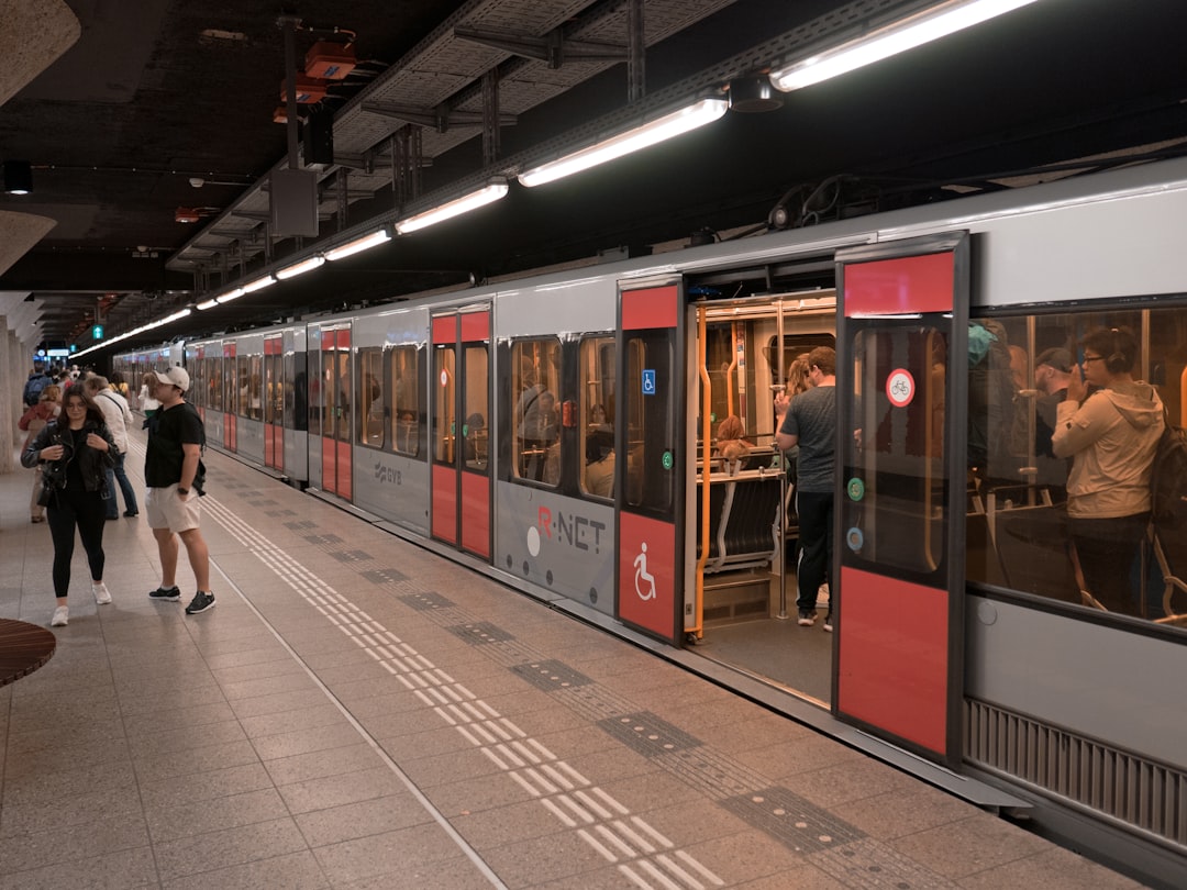
1. High-Speed Rail and Commuter Corridors
The advent of high-speed rail has enabled larger distances to be covered efficiently, fostering “commuter corridors” where individuals live in one city or town and work in another, often in a linear arrangement connecting major urban centers. European and Asian high-speed rail networks provide numerous examples of this phenomenon.
2. Highway Systems and Exurban Growth
Extensive highway networks have facilitated automobile-dependent exurban growth, sometimes leading to linear development along major thoroughfares as people seek cheaper land further from city centers while maintaining vehicular access.
B. Communication and Digital Connectivity
Modern communication technologies, while seemingly decentralizing, also play a role in reinforcing the attractiveness of certain linear spaces.
1. Fiber Optic Conduits and Data Centers
The physical infrastructure of global digital communication, particularly fiber optic cables, often follows existing infrastructure corridors (e.g., railway lines, highways). This can contribute to the growth of data centers and related industries along these digital arteries, attracting a specialized workforce.
2. Remote Work and “Lifestyle Corridors”
While often portrayed as decentralizing, remote work can also enable individuals to choose to live in more attractive linear locations (e.g., coastal strips, scenic river valleys) while maintaining connectivity to urban job markets, potentially forming new types of “lifestyle corridors.”
Conclusion: A Tapestry of Interacting Forces
The formation of dense human corridors is not a singular phenomenon but rather a complex tapestry woven from the threads of geography, history, economy, social dynamics, and technology. From the fertile embrace of river valleys to the strategic pathways of ancient trade, and from the relentless pull of industrial engines to the intricate planning of modern urban designers, these forces converge, often reinforcing one another, to sculpt the linear patterns of human habitation we observe today. Understanding these corridors is crucial for effective urban planning, resource management, and the sustainable development of human societies, ensuring that future growth is both efficient and equitable. To truly grasp their enduring nature, one must appreciate the continuous interplay of these myriad factors, each adding a unique brushstroke to the evolving portrait of human settlement.
FAQs
What are human corridors in the context of population density?
Human corridors refer to geographic areas or pathways where there is a high concentration of people living or moving through, often due to economic, social, or environmental factors that attract dense populations.
What factors contribute to the formation of densest human corridors?
Key factors include economic opportunities such as jobs and trade, availability of infrastructure like transportation and housing, historical settlement patterns, and natural geographic features that facilitate movement and habitation.
Which regions are known for having the densest human corridors?
Some of the densest human corridors are found in parts of South Asia (e.g., the Indo-Gangetic Plain), East Asia (e.g., the Yangtze River Delta), and parts of Europe (e.g., the Rhine-Ruhr region), where large populations are concentrated along rivers, coasts, or major transportation routes.
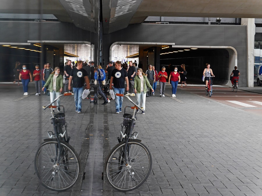
How do transportation networks influence human corridor density?
Efficient transportation networks such as highways, railways, and ports enable easier movement of people and goods, encouraging urbanization and economic activity, which in turn increases population density along these corridors.
What are the challenges associated with densely populated human corridors?
Challenges include overcrowding, strain on infrastructure and resources, environmental degradation, increased pollution, and social issues such as housing shortages and traffic congestion.