Throughout history, the allure of uncharted territories has captivated explorers, scientists, and adventurers alike. These mysterious landmasses, often shrouded in myth and legend, have sparked the imagination of countless individuals. From the fabled islands of Atlantis to the elusive continent of Mu, tales of undiscovered lands have persisted through the ages.
The very notion that there are still places on Earth yet to be explored ignites a sense of wonder and curiosity, prompting many to ponder what secrets these hidden realms might hold. In recent years, advancements in technology have allowed researchers to delve deeper into the unknown. Satellite imagery and aerial surveys have revealed previously hidden landforms, leading to the discovery of new islands and landmasses.
For instance, the emergence of new land due to volcanic activity or shifting tectonic plates has added to the complexity of Earth’s geography. As scientists continue to study these enigmatic regions, they uncover not only geographical features but also potential ecosystems and biodiversity that have remained untouched by human influence.
Key Takeaways
- Mysterious landmasses continue to exist in uncharted territories, waiting to be discovered.
- Hidden cities and lost civilizations are being revealed through archaeological discoveries and advanced technology.
- Bizarre geographical anomalies present unexplained phenomena that challenge our understanding of the world.
- Mind-boggling cartographic errors have led to misplaced locations on maps throughout history.
- Unbelievable underwater discoveries continue to reveal sunken secrets and ancient mysteries.
Hidden Cities: Lost Civilizations Revealed
The discovery of hidden cities has long fascinated archaeologists and historians, as these lost civilizations often provide invaluable insights into human history. From the ancient city of Petra in Jordan to the ruins of Machu Picchu in Peru, these sites reveal the ingenuity and resilience of past societies.
Recent archaeological advancements have led to the unearthing of even more hidden cities, often buried beneath layers of earth and vegetation. Technologies such as LiDAR (Light Detection and Ranging) have enabled researchers to penetrate dense jungles and uncover ancient urban layouts that were previously invisible to the naked eye. These discoveries not only challenge existing historical narratives but also highlight the complexity and sophistication of civilizations that thrived long before modern society emerged.
Bizarre Geographical Anomalies: Unexplained Phenomena
The Earth is home to a myriad of bizarre geographical anomalies that continue to baffle scientists and geographers alike. From the mysterious Bermuda Triangle to the peculiar magnetic hill in Ladakh, India, these phenomena challenge conventional understanding of natural laws. The Bermuda Triangle, for instance, has gained notoriety for the unexplained disappearances of ships and aircraft, leading to numerous theories ranging from magnetic anomalies to extraterrestrial activity.
Another fascinating anomaly is the phenomenon known as “sailing stones” in California’s Death Valley. These stones appear to move across the desert floor without any apparent force, leaving behind long trails in their wake. Researchers have conducted extensive studies to understand this phenomenon, ultimately attributing it to a combination of ice formation and wind patterns.
Such geographical oddities not only pique curiosity but also serve as reminders of the mysteries that still exist within our planet’s diverse landscapes.
Mind-boggling Cartographic Errors: Misplaced Locations
| Error Type | Description | Impact |
|---|---|---|
| Incorrect Labeling | Places labeled in the wrong location on the map | Confusion for travelers and researchers |
| Misplaced Boundaries | Incorrect placement of country or state borders | Political and legal implications |
| Wrong Coordinates | Geographic coordinates inaccurately represented | Navigational challenges |
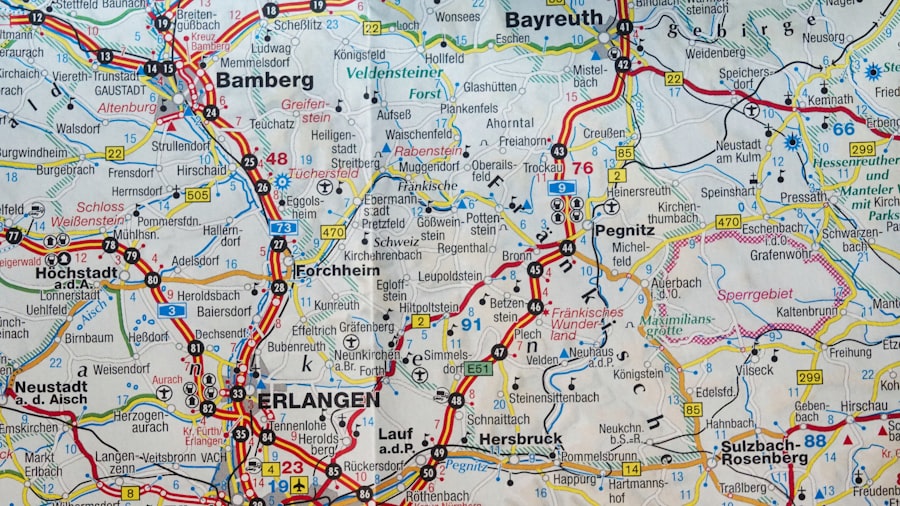
Cartography has evolved significantly over the centuries, yet it is not without its share of errors and inaccuracies. Historical maps often reflect the limited knowledge and understanding of geography at the time they were created. One notable example is the Ptolemaic maps from ancient Greece, which inaccurately depicted the size and shape of continents based on flawed calculations and assumptions.
These early cartographers relied heavily on secondhand accounts and speculation, leading to a host of misplaced locations. In more recent times, technological advancements have improved mapping accuracy; however, errors still persist. The infamous “phantom island” of Sandy Island off the coast of Australia was included on maps for over a century before it was discovered that it did not exist.
Such cartographic blunders highlight the challenges faced by mapmakers throughout history and serve as a reminder that even in an age of advanced technology, inaccuracies can still occur.
Unbelievable Underwater Discoveries: Sunken Secrets
The ocean’s depths hold countless secrets waiting to be uncovered, with underwater discoveries revealing remnants of ancient civilizations and lost treasures. Shipwrecks from bygone eras tell tales of maritime exploration, trade routes, and even warfare. The discovery of the Titanic in 1985 marked a significant moment in underwater archaeology, as it provided insights into early 20th-century society and maritime practices.
Beyond shipwrecks, underwater archaeology has unveiled entire cities submerged beneath the waves. The ancient city of Dwarka in India is believed to be one of the oldest submerged cities in history, with archaeological evidence suggesting it was once a thriving center of trade and culture. As technology continues to advance, researchers are able to explore deeper into the ocean’s depths, revealing more about our planet’s history and the civilizations that once flourished along its shores.
Uncharted Territories: Mapping the Unknown
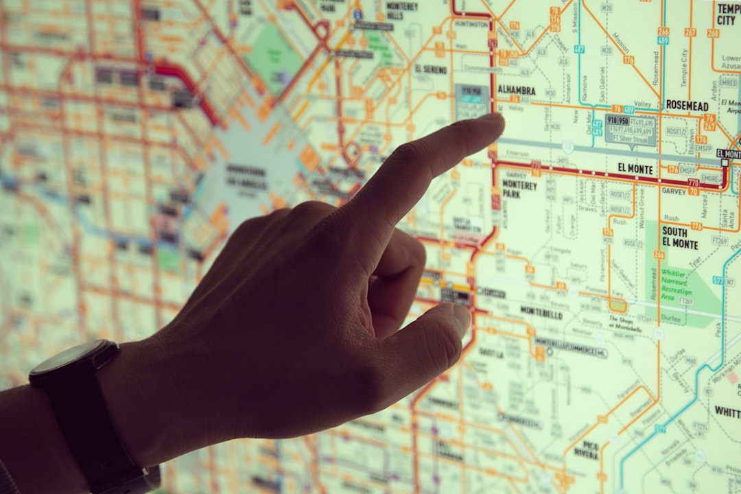
The quest for mapping uncharted territories remains an ongoing endeavor for explorers and scientists alike. Despite significant advancements in technology and satellite imagery, there are still regions on Earth that remain largely unexplored. The Amazon rainforest, for instance, is home to vast areas that have yet to be thoroughly mapped or studied due to its dense vegetation and challenging terrain.
In addition to terrestrial exploration, uncharted territories also exist beneath the ocean’s surface. The deep-sea environment is one of the least understood areas on Earth, with vast expanses remaining unmapped and unexplored. Researchers are utilizing advanced submersibles and remotely operated vehicles (ROVs) to venture into these depths, uncovering new species and geological formations that challenge existing knowledge about marine ecosystems.
Astonishing Historical Revelations: Ancient Maps Unearthed
The unearthing of ancient maps has provided historians with astonishing revelations about how past civilizations viewed their world. These historical artifacts offer a glimpse into the geographical knowledge and cultural perspectives of societies long gone. For instance, the Mappa Mundi from medieval Europe illustrates not only geographical features but also religious beliefs and mythological elements that shaped people’s understanding of their surroundings.
Recent discoveries have shed light on previously unknown cartographic traditions from various cultures around the globe. The Vinland Map, believed by some to depict Viking explorations in North America before Columbus, has sparked intense debate among historians regarding its authenticity and implications for understanding trans-oceanic contact. Such revelations challenge established narratives about exploration and trade routes throughout history.
Unbelievable Topographic Features: Natural Wonders
Nature has sculpted some truly unbelievable topographic features across the globe that leave observers in awe.
The unique formations found in places like Cappadocia in Turkey or Antelope Canyon in Arizona highlight nature’s artistic capabilities through erosion and sedimentation.
One particularly striking feature is Mount Roraima in South America, a flat-topped mountain that rises dramatically from the surrounding landscape. Its sheer cliffs and unique ecosystem have inspired countless legends and scientific studies alike. These topographic wonders not only serve as breathtaking sights but also play crucial roles in local ecosystems and cultural identities.
Extraordinary Cartographic Artifacts: Unique Maps
Throughout history, cartographers have created extraordinary maps that reflect not only geographical knowledge but also artistic expression. These unique artifacts often blend science with creativity, resulting in visually stunning representations of the world. The Hereford Mappa Mundi is one such example; this medieval map intricately details biblical events alongside geographical features, showcasing how intertwined religion and geography were during that era.
In addition to historical maps, contemporary artists continue to push boundaries by creating innovative cartographic works that challenge traditional notions of mapping. Artists like Julie Mehretu use abstract forms to represent urban landscapes while exploring themes of migration and globalization. These extraordinary cartographic artifacts serve as reminders that maps are not merely tools for navigation but also powerful expressions of culture and identity.
Shocking Political Boundaries: Controversial Divisions
Political boundaries often reflect complex histories filled with conflict and negotiation. Shocking divisions can arise from colonial legacies or territorial disputes that continue to shape global politics today. The arbitrary borders drawn during colonial times have led to ongoing tensions in regions such as Africa and the Middle East, where ethnic groups find themselves divided by lines on a map rather than cultural or historical affiliations.
One particularly contentious example is the border between India and Pakistan, which was established during partition in 1947. This division has resulted in decades of conflict over territory and identity, highlighting how political boundaries can have profound implications for people’s lives. As nations grapple with their histories and seek resolutions to longstanding disputes, understanding these controversial divisions becomes essential for fostering peace and cooperation.
Unbelievable Astronomical Maps: Celestial Surprises
Astronomical maps have played a crucial role in humanity’s understanding of the cosmos throughout history. From ancient star charts used by navigators to modern celestial maps employed by astronomers, these artifacts reveal how different cultures have interpreted the night sky. The Almagest by Ptolemy is one such influential work that laid the groundwork for future astronomical studies by cataloging stars and planets visible from Earth.
Recent advancements in technology have allowed astronomers to create increasingly detailed astronomical maps that unveil celestial surprises beyond our solar system. The Hubble Space Telescope has captured breathtaking images of distant galaxies while mapping cosmic phenomena such as black holes and supernovae. These astronomical discoveries not only expand our knowledge of the universe but also inspire awe at its vastness and complexity.
In conclusion, exploring uncharted territories—whether they be mysterious landmasses or hidden cities—offers a glimpse into humanity’s past while igniting curiosity about what lies ahead. From bizarre geographical anomalies to astonishing historical revelations through ancient maps, each discovery contributes to a richer understanding of our world. As technology continues to advance, so too does humanity’s ability to uncover secrets long buried beneath land or sea, reminding us that there is still much left to explore in both our physical environment and our collective history.
In the realm of cartography, “Shocking Maps” offers a fascinating glimpse into the unexpected and often overlooked aspects of our world. For those intrigued by the stories maps can tell, a related article on the same website delves deeper into the historical and cultural narratives that maps can reveal. You can explore this further by visiting the article on Real Lore and Order’s website. Check out the related article to uncover more about how maps have shaped our understanding of history and society.
WATCH THIS! Shocking Borders: Ten Countries Whose Existence Makes No Sense in Today’s World
FAQs
What are Shocking Maps?
Shocking maps are maps that depict information or data in a way that is intended to surprise or shock the viewer. These maps often use visual techniques to emphasize a particular point or to highlight a specific issue.
What types of information can be depicted on Shocking Maps?
Shocking maps can depict a wide range of information, including social, economic, environmental, and political data. They can be used to highlight disparities, inequalities, or other important issues.
How are Shocking Maps created?
Shocking maps are created using various data visualization techniques, such as color coding, shading, and other visual elements to emphasize the information being presented. They are often created using GIS (Geographic Information Systems) software or other mapping tools.
What is the purpose of Shocking Maps?
The purpose of shocking maps is to draw attention to important issues and to provoke a reaction from the viewer. They are often used to raise awareness about social, economic, or environmental problems and to advocate for change.
Where can Shocking Maps be found?
Shocking maps can be found in a variety of places, including news articles, research studies, advocacy campaigns, and educational materials. They are often shared on social media and other online platforms to reach a wide audience.