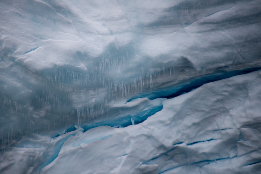
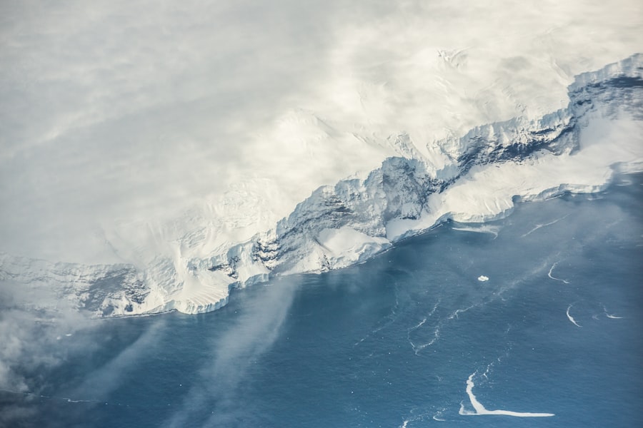
Antarctica, a continent shrouded in ice, has long held its secrets close. Beneath its vast glacial sheets, a complex world of mountains, valleys, and lakes lies hidden, inaccessible to direct observation. For centuries, cartographers and explorers could only speculate about the topography beneath the ice, but advancements in subglacial mapping techniques have begun to peel back these frozen layers, revealing a geological tapestry as intricate and dynamic as any on Earth’s surface. This article delves into the methodologies employed to survey this buried landscape, the profound discoveries made, and the implications of this newfound knowledge for understanding Earth’s climate history, glacial dynamics, and even the potential for extraterrestrial life.
The earliest attempts to understand Antarctica’s subglacial landscape were largely theoretical, based on gravitational anomalies and seismic observations. However, these methods provided only generalized insights into the continent’s underlying structure. The true era of subglacial mapping began with the advent of remote sensing technologies, particularly airborne radar.
Early Geophysical Techniques
Before advanced radar, researchers relied on gravimetry and seismology. Gravimetric surveys measured variations in Earth’s gravitational field, which can indicate differences in subsurface density, thus hinting at the presence of mountains or basins. Seismic reflection, employing sound waves to probe the Earth’s interior, offered more detailed insights but was labor-intensive and limited in its spatial coverage.
The Dawn of Radar Sounding
The game-changer arrived with ice-penetrating radar. This technology transmits radio waves into the ice, which then reflect off the bedrock interface and return to a receiver. By measuring the time it takes for these reflections to return, scientists can determine the thickness of the ice and, by extension, the elevation of the bedrock beneath. Airborne radar systems, mounted on aircraft, can survey vast areas rapidly, transforming the scale and resolution of subglacial mapping.
Recent advancements in subglacial mapping of Antarctica have unveiled intriguing insights into the continent’s hidden structures, raising questions about their origins and implications for our understanding of climate change. A related article that delves deeper into these discoveries can be found at this link, where researchers discuss the significance of these subglacial features and their potential impact on global sea levels. As scientists continue to explore the mysteries beneath the ice, the findings could reshape our perspective on Antarctica’s role in the Earth’s climate system.
Methods of Subglacial Mapping
Uncovering Antarctica’s hidden structures is a multidisciplinary endeavor, relying on sophisticated technologies and intricate data analysis. Each method offers a unique perspective, contributing a piece to the larger puzzle of the subglacial landscape.
Airborne Ice-Penetrating Radar (IPR)
Airborne IPR remains the workhorse of subglacial mapping. Aircraft fitted with specialized radar equipment fly systematic grids across the Antarctic ice sheet. The radar emits pulses that penetrate the ice, and a receiver records the echoes. The strength and time delay of these echoes provide information about the depth of the ice-bedrock interface, as well as internal ice layers, which are invaluable for understanding ice flow dynamics and paleoclimate.
Data Acquisition and Processing
The process involves meticulously planned flight paths to ensure comprehensive coverage. Raw radar data then undergo extensive processing to correct for atmospheric effects, aircraft motion, and signal attenuation within the ice. Sophisticated algorithms are employed to interpret the reflected signals, distinguishing between bedrock, subglacial water, and other subsurface features.
Limitations of IPR
While powerful, IPR has its limitations. The signals can be attenuated by very thick or warm ice, making it challenging to penetrate certain regions. Furthermore, the resolution is dependent on the radar frequency and sensor altitude, meaning finer details can sometimes be missed in deep ice.
Satellite Altimetry and Gravimetry
While direct subglacial imaging is radar’s domain, satellite-based remote sensing plays a crucial role in providing broader context. Satellite altimeters, such as those aboard ICESat and CryoSat-2, measure the surface elevation of the ice sheet with remarkable precision. By combining these surface measurements with ice thickness data from IPR, scientists can infer bedrock elevations.
Gravitational Anomalies from Space
Satellites like GRACE (Gravity Recovery and Climate Experiment) measure subtle variations in Earth’s gravitational field. These anomalies can be indicative of underlying mass variations, such as the presence of large mountain ranges or deep basins below the ice. While GRACE provides a coarser resolution than IPR, it offers continental-scale insights into the overall mass distribution beneath the ice.
Seismic Sounding and Drilling
For high-resolution, localized studies, seismic techniques and direct drilling remain indispensable. These methods are more resource-intensive but provide unparalleled detail about specific subglacial features.
Active and Passive Seismic Surveys
Active seismic surveys involve generating acoustic waves at the surface and recording their reflections from subsurface layers. This method offers detailed profiles of bedrock geology and can differentiate between various rock types. Passive seismic monitoring, which listens to naturally occurring seismic waves (e.g., from earthquakes or icequakes), can also provide information about crustal structure and processes beneath the ice.
Ice Core Drilling and Subglacial Access
Drilling through the ice sheet provides direct access to the subglacial environment. Ice cores offer invaluable paleoclimate data, reconstructing past atmospheric conditions, temperature, and snowfall rates. More ambitiously, projects like the journey to Subglacial Lake Vostok involve drilling down to the lake itself, allowing for the sampling of subglacial water and sediments, offering a direct glimpse into the biological and geological processes occurring in these isolated environments.
Major Discoveries and Their Significance
The application of these mapping techniques has not merely confirmed existing theories but has unveiled an entirely new geography, rewriting our understanding of Antarctica’s past, present, and future.
Unveiling Hidden Mountain Ranges and Valleys
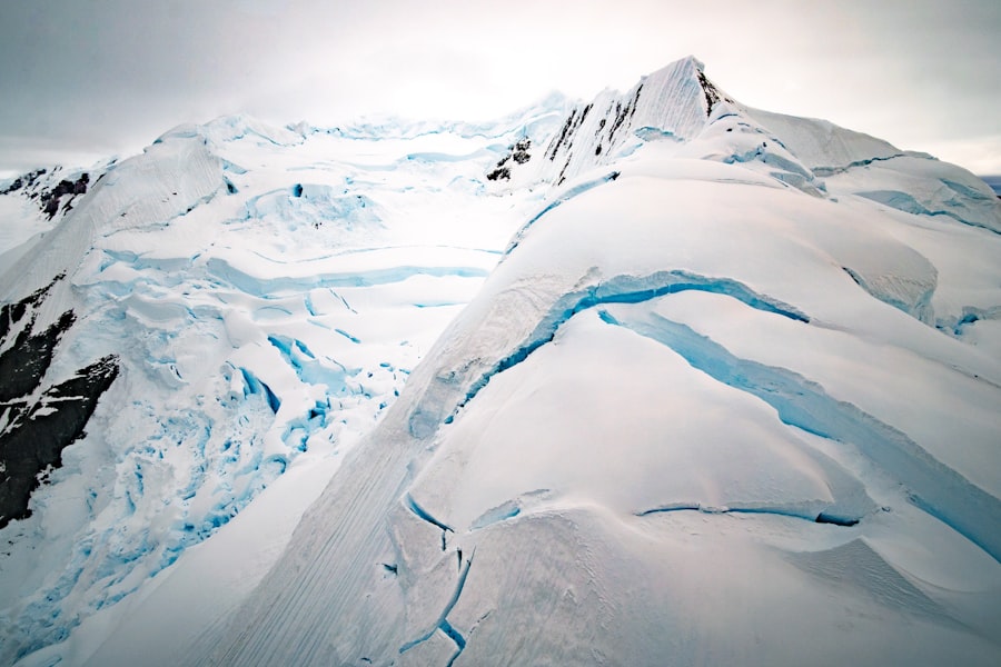
One of the most striking revelations has been the discovery of vast, previously unknown mountain ranges and deep valleys carved by ancient glaciers. The Gamburtsev Subglacial Mountains, for instance, a range comparable in size to the Alps, lie buried beneath nearly four kilometers of ice in East Antarctica. These mountains, long a geographical enigma, are believed to play a crucial role in the nucleation and stability of the East Antarctic Ice Sheet.
Implications for Ice Sheet Stability
Understanding the topography beneath the ice is critical for predicting ice sheet behavior. Subglacial mountains can act as pinning points, stabilizing ice flow, while deep valleys can serve as conduits for fast-flowing ice streams, funneling ice into the ocean. The gradient and roughness of the subglacial bed significantly influence how quickly ice can move, directly impacting global sea level rise predictions.
The Network of Subglacial Lakes and Rivers
Perhaps the most astonishing discovery is the extensive, dynamic network of subglacial lakes and rivers. Over 400 subglacial lakes have been identified to date, ranging in size from small ponds to Lake Vostok, which is comparable in area to Lake Ontario. These lakes are not static but are connected by an active hydrological system, with water periodically draining and refilling, profoundly impacting the ice sheet’s basal lubrication.
Biological and Geochemical Hotspots
These subglacial bodies of water represent unique and extreme environments. Insulated from the surface for millions of years, they are effectively Earth’s last unexplored frontiers. Sampling efforts in lakes like Whillans and Mercer have revealed evidence of microbial life—organisms adapted to perpetual darkness, high pressure, and limited nutrient availability, sustained by chemosynthesis. These discoveries have profound implications for astrobiology, offering analogues for potential life forms in similar environments on other planetary bodies, such as Jupiter’s moon Europa or Saturn’s moon Enceladus.
Reconstructing Paleogeography and Climate History
The detailed subglacial topography acts as a geological archive, offering clues about Antarctica’s ancient past. By studying the morphology of buried valleys and mountain ranges, scientists can reconstruct the extent and flow patterns of ice sheets during past glacial cycles. This information is vital for validating climate models and understanding how the continent has responded to past warming and cooling events.
Insights into Ancient Ice Sheets
For example, the discovery of ancient river systems beneath the ice provides evidence of a vastly different Antarctica millions of years ago, before it became glaciated. These paleodrainage networks indicate periods when the continent was temperate, perhaps supporting forests and diverse ecosystems. Understanding this deep past helps contextualize current climate change and predict future scenarios.
Future Directions and Unanswered Questions
Despite the remarkable progress, Antarctica’s subglacial landscape remains largely unexplored, a vast expanse awaiting further investigation. The current mapping efforts are but a prelude to a deeper understanding.
High-Resolution Mapping and Data Integration
Future efforts will focus on increasing the resolution and coverage of subglacial maps. This will involve the deployment of next-generation airborne radar systems, potentially complemented by autonomous underwater vehicles (AUVs) for targeted exploration of subglacial lakes. Integrating data from multiple sources – radar, seismic, gravity, and satellite altimetry – will create more comprehensive and accurate models of the subglacial environment.
Artificial Intelligence and Machine Learning
The sheer volume of data generated by subglacial mapping projects makes manual interpretation increasingly challenging. Artificial intelligence (AI) and machine learning algorithms are being developed to automate data processing, identify subtle patterns, and even predict the location of undiscovered features, accelerating the pace of discovery.
Understanding Subglacial Processes
A key area of future research involves unraveling the complex interactions between the ice, bedrock, and subglacial water. How does geothermal heat flux vary across the continent? What are the precise mechanisms driving subglacial hydrological systems? How do these factors influence ice dynamics and the stability of the entire ice sheet? These questions require a blend of advanced observational techniques and sophisticated numerical modeling.
Role in Global Climate System
Precisely quantifying Antarctica’s contribution to future sea level rise hinges on a robust understanding of its subglacial topography and dynamics. Improved mapping will reduce uncertainties in ice sheet models, allowing for more accurate projections of global climate change impacts.
In conclusion, the relentless pursuit of knowledge through subglacial mapping is gradually lifting the veil from Antarctica’s hidden world. From the genesis of radar sounding to the discovery of vast mountain ranges and bustling subglacial ecosystems, each step forward has reshaped our geological and biological understanding of this enigmatic continent. The journey is far from over; as technology advances and humanity’s curiosity remains insatiable, Antarctica will undoubtedly yield even more profound secrets, enriching our comprehension of Earth’s past, present, and the potential for life in extreme environments both on our planet and beyond. The bedrock beneath the ice is a time capsule, and scientists are diligently working to unlock its stories, one radar pulse at a time.

SHOCKING: New Radar Reveals City Under Antarctica
FAQs
What is subglacial mapping in Antarctica?
Subglacial mapping in Antarctica refers to the process of using various geophysical techniques, such as radar and seismic surveys, to create detailed maps of the terrain and structures located beneath the Antarctic ice sheet.
Why is subglacial mapping important for Antarctica?
Subglacial mapping is important because it helps scientists understand the geology, topography, and hidden features beneath the ice, which can influence ice flow, climate models, and the history of the continent. It also aids in identifying potential natural resources and understanding past environmental conditions.
What types of secret structures have been discovered beneath the Antarctic ice?
Secret structures beneath the Antarctic ice include subglacial lakes, mountain ranges, valleys, and ancient river systems. Some studies have also revealed unusual geological formations and potential evidence of past volcanic activity, but no confirmed man-made structures have been found.
What technologies are used for subglacial mapping in Antarctica?
Technologies used for subglacial mapping include ice-penetrating radar, seismic reflection and refraction methods, satellite remote sensing, and gravity measurements. These tools help scientists penetrate the thick ice and gather data about the underlying bedrock and features.
How does subglacial mapping contribute to climate research?
Subglacial mapping contributes to climate research by providing insights into how the Antarctic ice sheet interacts with the underlying terrain, which affects ice stability and melting patterns. Understanding these factors is crucial for predicting future sea-level rise and the impact of climate change on polar regions.