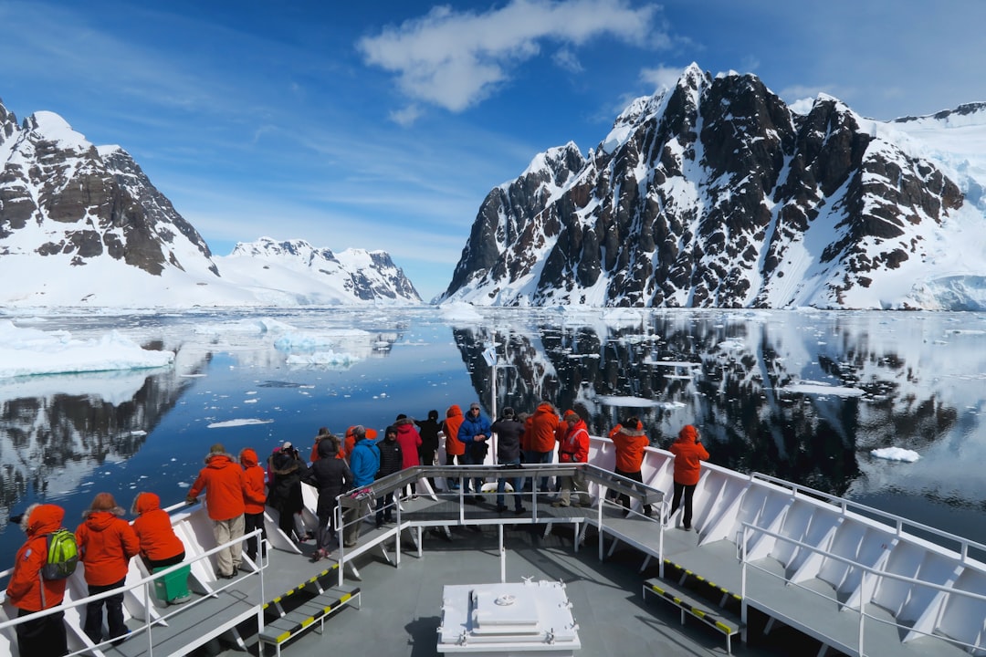
The veneer of Antarctica, a vast expanse of white that captivates the imagination, holds secrets as profound as its glacial depths. Beneath the seemingly immutable ice, an entire continent waits to be understood, a hidden world that has remained largely untouched by human curiosity for millennia. Scientists, armed with advanced technology and an unyielding spirit of exploration, are slowly pulling back the curtain on this submerged realm, revealing a landscape shaped by forces both ancient and ongoing, teeming with potential discoveries that could fundamentally alter our understanding of Earth’s history and future.
Antarctica, the fifth-largest continent, is characterized by its extreme cold and the immense ice sheets that cover over 98% of its surface. This frozen shell, a testament to the planet’s climatic history, acts as a formidable barrier, obscuring much of the underlying topography and geological features. For centuries, it was a continent of myth and speculation, a vast white desert at the bottom of the world. However, as scientific understanding and technological capabilities advanced, the allure of what lay beneath the ice grew. The sheer scale of the ice sheets, some reaching over 4 kilometers in thickness, meant that conventional geological surveying methods were rendered virtually useless. This necessitated the development of innovative approaches to penetrate the icy veil and begin the process of uncovering the secrets it concealed.
The Immensity of the Ice Sheets
The ice sheets of Antarctica are not merely passive blankets of frozen water; they are dynamic entities, constantly in motion, carving out valleys, shaping mountains, and influencing global sea levels. These colossal ice masses are the largest single reservoir of fresh water on Earth, a frozen testament to countless snowfall events over hundreds of thousands of years. Their formation and evolution are intrinsically linked to global climate cycles, making them invaluable archives of past environmental conditions. The study of these ice sheets allows scientists to peer into Earth’s climate history, much like reading the rings of a tree.
Historical Perceptions and Early Explorations
Early explorers, braving treacherous conditions, offered tantalizing glimpses of the Antarctic coastline, their accounts fueling a growing fascination with the continent. These pioneers, often driven by national pride and geographical curiosity, laid the groundwork for future scientific endeavors. While their primary focus was often geographical discovery and mapping, their observations hinted at a complex and varied landscape beneath the ice. The sheer logistical challenges of reaching and surviving in Antarctica meant that detailed investigations of the subglacial environment were beyond the scope of these early expeditions.
Recent studies have revealed that beneath the thick ice sheets of Antarctica lies a treasure trove of ancient ecosystems and geological formations that could provide valuable insights into Earth’s climate history. For a deeper understanding of what is hidden under the ice and the implications of these discoveries, you can read a related article at this link.
Peering Beneath the Surface: Technologies of Discovery
The quest to understand the hidden continent has demanded ingenious technological solutions, employing methods that can traverse or penetrate the thick ice. These tools act as electronic eyes and ears, allowing scientists to “see” through the frozen expanse and map the unseen. Without these advancements, the subglacial realm would remain largely a matter of conjecture.
Radar and Seismic Surveys: Mapping the Unseen Topography
Ground-penetrating radar (GPR) and seismic surveying have been instrumental in revealing the contours of the Antarctic bedrock. By sending radio waves or seismic waves into the ice and analyzing their reflections, scientists can construct detailed three-dimensional maps of the subglacial landscape, identifying mountains, valleys, and potential lakes. This information provides a crucial framework for understanding the geological processes that have shaped the continent over millions of years. Think of it as an ultrasound for the Earth’s crust, revealing the underlying structures without direct physical contact.
The Principles of Ice-Penetrating Radar
Ice-penetrating radar works by transmitting electromagnetic pulses into the ice. These pulses travel downwards, reflecting off interfaces, such as the bedrock, ice veins, or subglacial water. The returning signals are then detected by antennas, and the time it takes for the pulses to return is used to determine the depth of these features. Different radar frequencies are employed to achieve varying resolutions and penetration depths, allowing for comprehensive mapping.
Seismic Methods for Subglacial Structure
Seismic surveys utilize sound waves, often generated by controlled explosions or vibrating sources, to probe the Earth’s interior. When these waves encounter different rock layers or geological structures beneath the ice, they are reflected or refracted. By analyzing the travel times and amplitudes of these seismic waves, scientists can infer the composition and structure of the subglacial bedrock, providing crucial data on the continent’s geological history and tectonic activity.
Drilling Through the Ice: Direct Access to Subglacial Environments
Perhaps the most direct method of uncovering subglacial secrets involves drilling. Scientific endeavors have successfully bored through meters and even kilometers of ice to reach the bedrock and any water bodies that may exist there. These exceptionally challenging projects often involve specialized equipment designed to operate in extreme cold and maintain sterile conditions to prevent contamination of pristine environments.
Subglacial Lake Exploration: The Accidental Oceans
The discovery of numerous subglacial lakes has been one of the most significant breakthroughs in Antarctic research. These vast bodies of liquid water, trapped beneath the ice for potentially millions of years, are isolated from the surface world and may harbor unique ecosystems. Reaching these lakes through drilling is a delicate operation, akin to opening a time capsule.
Lake Vostok: The Sentinel of the Ice
Lake Vostok, the largest and most famous of Antarctica’s subglacial lakes, has been a focal point of scientific interest for decades. Drilling operations have provided samples of the lake water and sediment, offering tantalizing clues about its formation, the potential for life, and the geological processes occurring in isolation. The pristine nature of these environments makes them exceptionally valuable for studying life in extreme conditions.
Other Subglacial Lakes and Their Significance
Beyond Lake Vostok, dozens of other subglacial lakes have been identified, each with its own unique characteristics and scientific potential. Studying these diverse water bodies can reveal variations in their formation, salinity, sediment composition, and even the potential for microbial life. These lakes serve as natural laboratories for understanding the limits of life and adaptability.
Remote Sensing and Satellite Technology
Satellites orbiting Earth provide a bird’s-eye view of Antarctica, enabling continuous monitoring of ice thickness, flow, and surface features. Technologies like altimetry and interferometric synthetic aperture radar (InSAR) offer valuable data for understanding ice sheet dynamics and detecting changes that might indicate subglacial processes. These technologies offer a broad, synoptic perspective, complementing the localized insights gained from ground-based surveys and drilling.
Altimetry: Measuring Ice Sheet Elevation Changes
Satellite altimetry uses radar or laser pulses to measure the height of the ice sheet surface. By comparing measurements taken over time, scientists can detect changes in ice sheet elevation, which can be indicative of ice accumulation, melting, or the flow of ice towards the coast. These changes are crucial for understanding the current and future impact of Antarctica on global sea levels.
Interferometric Synthetic Aperture Radar (InSAR): Tracking Ice Flow
InSAR techniques compare multiple radar images of the same area taken at different times. By analyzing the subtle shifts in the interference patterns, scientists can precisely measure the movement of ice across the continent. This allows for detailed mapping of ice flow velocities, crucial for understanding the dynamics of the ice sheets and their contribution to sea level rise.
Unveiling Subglacial Landscapes: Mountains, Valleys, and Bedrock
The exploration of Antarctica’s subglacial terrain has revealed a continent far more varied and complex than previously imagined. The ice acts as a sculptor, but the underlying bedrock dictates the fundamental form of the land. Discoveries have overturned previous assumptions about the continent’s geological structure, hinting at a history of tectonic activity and significant erosional processes.
The Gamburtsev Subglacial Mountains: An Ancient Spine
The discovery of the Gamburtsev Subglacial Mountains, a range comparable in size to the European Alps, buried beneath kilometers of ice, was a revelation. These ancient peaks offer a glimpse into Antarctica’s geological past, suggesting a history of mountain-building events that predated the formation of the present-day ice sheets. Their existence has profound implications for understanding the tectonic evolution of the continent.
Geological Significance of the Gamburtsev Range
The presence of such a massive mountain range beneath the ice suggests a complex tectonic history for East Antarctica. Understanding the formation and composition of these mountains can shed light on the processes that shaped Gondwana, the ancient supercontinent that included Antarctica, and its subsequent breakup.
Impact on Ice Sheet Dynamics
The topography of the subglacial bedrock – including the Gamburtsev Mountains – plays a crucial role in how the ice sheets flow and behave. Mountains can act as barriers, slowing down ice flow, while valleys can channel ice towards the coast. Understanding this interaction is vital for predicting how the ice sheets will respond to future climate change.
Subglacial Drainage Systems: Hidden Rivers and Waterways
Beneath the ice, a complex network of subglacial rivers and drainage systems transports meltwater from the interior towards the ocean. These hidden waterways are critical for the lubrication of the ice sheets, influencing their speed and stability. Mapping these systems is essential for understanding the overall hydrology of the continent and its impact on ice flow.
The Role of Meltwater in Ice Sheet Movement
Surface meltwater on the Antarctic ice sheet can percolate down through crevasses and moulins, eventually reaching the bedrock. This water can form a lubricating layer between the ice and the bedrock, accelerating the flow of the ice. Subglacial drainage systems are the conduits for this meltwater, and their efficiency can significantly influence the rate at which ice is transported to the ocean.
Implications for Ice Shelf Stability
Subglacial water systems can also impact the stability of the floating ice shelves that fringe the Antarctic continent. If meltwater accumulates beneath an ice shelf, it can lead to increased fracturing and calving, potentially accelerating the rate at which ice sheets lose mass to the ocean.
Subglacial Sediments: Archives of Past Environments
The sediments found at the base of the ice sheets contain invaluable information about past climates, geological processes, and even potential biological activity. Studying these ancient layers is like deciphering a cryptic message from Earth’s deep past, offering insights into periods before the continent was entirely encased in ice or when its climate was significantly different.
Paleoclimatic Reconstruction from Sediments
Analysis of the mineralogy, grain size, and chemical composition of subglacial sediments can reveal details about the erosion sources, transport mechanisms, and the paleoenvironmental conditions that prevailed when these sediments were deposited. This information is crucial for reconstructing past climate variations and understanding the long-term climate sensitivity of the Antarctic region.
Potential for Ancient Life and Biomarkers
The possibility of discovering preserved organic material or biomarkers within subglacial sediments and water samples has generated significant scientific interest. If life existed in Antarctica before it was glaciated, or if microbial communities have persisted in isolated subglacial environments, these sediments could hold the key to understanding their survival and evolution.
Life Under the Ice: The Persistence of Organisms
The notion of life thriving in the frigid, dark, and high-pressure environments beneath Antarctica’s ice sheets may seem improbable, yet evidence suggests that life can indeed exist in these extreme conditions. These discoveries push the boundaries of our understanding of habitability and the resilience of life on Earth.
Subglacial Microbial Ecosystems: Resilience in the Dark
Microbial life has been found in subglacial lakes and in the sediment beneath the ice, demonstrating remarkable adaptability to environments devoid of sunlight. These organisms, often chemotrophs, derive energy from chemical reactions rather than photosynthesis, showcasing diverse metabolic strategies for survival.
Chemosynthesis: Energy from Chemical Reactions
In the absence of sunlight, subglacial microbes often rely on chemosynthesis, a process where organisms convert chemical compounds into energy. This can involve the oxidation of sulfur, iron, or methane, providing a vital energy source in these perpetually dark ecosystems.
Genetic Diversity and Evolutionary Adaptations
Studies of subglacial microbial communities are revealing unique genetic adaptations that allow them to survive and reproduce under extreme pressure, low temperatures, and nutrient limitations. Understanding these adaptations offers insights into the evolution of life in Earth’s most challenging environments.
The Search for Complex Life in Subglacial Lakes
While microbial life is a certainty, the potential for more complex organisms in subglacial lakes remains a subject of intense research and speculation. The long isolation of these environments raises the intriguing possibility of unique evolutionary pathways.
Food Webs and Nutrient Cycling in Subglacial Environments
Investigating the food webs and nutrient cycling within subglacial lakes is crucial for understanding how life is sustained. Even simple ecosystems require intricate interactions between different organisms and their environment to persist.
Future Prospects for Discovery
As technology advances, the ability to sample and analyze subglacial environments with greater precision increases, opening new avenues for discovering potentially novel forms of life. The challenges are immense, but the potential rewards for understanding habitability are equally vast.
Recent studies have revealed fascinating insights into what lies hidden beneath the ice in Antarctica, sparking interest among scientists and researchers alike. The thick ice sheets are believed to conceal ancient ecosystems and geological formations that could provide valuable information about Earth’s climate history. For a deeper understanding of these discoveries, you can read more in this related article that explores the mysteries of Antarctica’s icy depths. Check it out here.
Antarctica’s Future: Climate Change and the Melting Ice
| Category | Details | Metrics / Data |
|---|---|---|
| Subglacial Lakes | Water bodies trapped beneath the ice sheet | Over 400 known lakes; Lake Vostok is the largest (~15,690 km²) |
| Mountain Ranges | Ranges buried under ice, such as Gamburtsev Mountains | Length: ~1,200 km; Height: up to 2,700 m |
| Subglacial Rivers | Rivers flowing beneath the ice sheet | Estimated length: hundreds of kilometers; contribute to ice flow dynamics |
| Ancient Sediments | Geological layers preserved under ice | Age: up to hundreds of millions of years; provide climate history |
| Fossils | Remains of prehistoric plants and animals | Includes fossils of ancient forests and marine life from past warm periods |
| Subglacial Volcanoes | Volcanic structures beneath the ice | Over 100 identified; some active, influencing ice melting |
| Ice Thickness | Thickness of ice covering the continent | Average: ~2,160 meters; maximum: ~4,776 meters |
The secrets beneath Antarctica’s ice are not just about the past; they are also intrinsically linked to our planet’s future. The stability of the ice sheets is a critical factor in global sea level rise, and understanding the processes that govern their melt is paramount.
Ice Sheet Dynamics and Sea Level Rise
The rate at which Antarctic ice sheets melt directly influences global sea levels. Scientific models are continuously refining their predictions, but accurate forecasts depend on a thorough understanding of subglacial hydrology, ice flow, and the underlying topography.
The Role of Ice Shelves in Ice Sheet Stability
Ice shelves, the floating extensions of ice sheets, act as buttresses, slowing down the flow of ice from the interior towards the ocean. Their thinning or disintegration can lead to a significant acceleration of ice loss, with profound consequences for sea level rise.
Greenland vs. Antarctica: Differential Impacts
While both Greenland and Antarctic ice sheets contribute to sea level rise, their dynamics and vulnerabilities differ. Understanding these differences is crucial for accurate global climate projections.
Geothermal Heat and its Influence on Melting
Geothermal heat from the Earth’s interior can contribute to melting at the base of the ice sheets, influencing subglacial water systems and ice flow. While generally a minor factor compared to atmospheric warming, its localized effects can be significant.
Assessing the Contribution of Geothermal Flux
Scientists are working to map the geothermal flux beneath the Antarctic ice sheet to better understand its impact on ice sheet stability. This requires detailed geological surveys and modeling.
The Unfolding Story: Ongoing Research and Future Directions
The exploration of Antarctica’s subglacial realm is an ongoing saga, with new discoveries continually reshaping our understanding. Future research will undoubtedly focus on further detailed mapping, enhanced subglacial sampling techniques, and the continued monitoring of ice sheet behavior in response to a warming planet.
The Importance of International Collaboration
The challenges of studying Antarctica are immense, necessitating robust international collaboration. Sharing data, resources, and expertise is vital for making significant progress in this vast and remote region.
Advancements in Ice-Penetrating Robotics and Autonomous Systems
The development of specialized robots and autonomous underwater vehicles designed for subglacial exploration holds immense promise. These technologies can venture where human presence is impossible or too risky, collecting invaluable data from the deepest, darkest reaches of the continent.
The secrets beneath Antarctica’s ice are a testament to the Earth’s dynamic nature and the resilience of life. As humanity continues to unravel these frozen enigmas, it not only deepens its appreciation for this remote continent but also gains crucial insights into the planet’s past, present, and the challenges that lie ahead. The information gleaned from this frozen frontier is not merely academic; it is a vital piece of the puzzle in understanding our changing world and our place within it.

SHOCKING: New Radar Reveals City Under Antarctica
FAQs
What types of geological features are hidden under the ice in Antarctica?
Beneath Antarctica’s ice sheet lie mountain ranges, valleys, subglacial lakes, and vast plains. Notable features include the Gamburtsev Mountains and Lake Vostok, one of the largest subglacial lakes in the world.
Are there any living organisms beneath the Antarctic ice?
Yes, scientists have discovered microbial life in subglacial lakes and sediments beneath the ice. These extremophiles survive in cold, dark, and isolated environments, providing insights into life in extreme conditions.
How thick is the ice covering Antarctica?
The Antarctic ice sheet averages about 1.9 kilometers (1.2 miles) thick, with some areas exceeding 4 kilometers (2.5 miles) in thickness. This massive ice cover hides the continent’s underlying landscape.
Why is it important to study what lies beneath the Antarctic ice?
Studying the hidden features under the ice helps scientists understand Earth’s climate history, ice sheet dynamics, and potential sea-level rise. It also offers clues about past geological events and the possibility of unique ecosystems.
What technologies are used to explore beneath the Antarctic ice?
Researchers use ice-penetrating radar, seismic surveys, satellite imaging, and drilling techniques to map and study the subglacial environment. These technologies allow scientists to gather data without disturbing the fragile ecosystems.