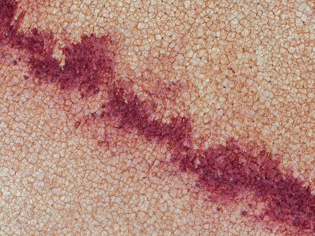
Geomorphology is the scientific study of landforms and the processes that shape them. It encompasses a wide range of topics, including the origin, evolution, and classification of various landforms found on Earth’s surface. This field of study is not merely concerned with the physical characteristics of landscapes but also delves into the underlying processes that contribute to their formation and transformation over time.
Geomorphologists examine everything from mountains and valleys to rivers and deserts, seeking to understand how these features came to be and how they continue to change. The discipline of geomorphology integrates knowledge from various scientific fields, including geology, hydrology, climatology, and ecology. By employing a multidisciplinary approach, geomorphologists can gain a comprehensive understanding of the dynamic interactions between landforms and the environmental factors that influence them.
This holistic perspective is essential for addressing complex questions about Earth’s surface and its ongoing evolution.
Key Takeaways
- Geomorphology is the study of the Earth’s landforms and the processes that shape them.
- Geomorphology plays a crucial role in understanding the Earth’s surface and how it has evolved over time.
- Various processes such as weathering, erosion, and deposition shape landforms over time.
- Tectonic activity, such as earthquakes and volcanic eruptions, significantly influences geomorphology.
- Climate, including factors like temperature and precipitation, has a profound impact on the development of landforms.
The Role of Geomorphology in Understanding Earth’s Surface
Geomorphology plays a crucial role in enhancing our understanding of Earth’s surface by providing insights into the processes that shape landscapes. By studying landforms, geomorphologists can infer past environmental conditions and predict future changes. For instance, the analysis of river valleys can reveal information about historical climate patterns, sediment transport, and even human activity over millennia.
This knowledge is invaluable for reconstructing Earth’s geological history and understanding how various factors have influenced landscape development. Moreover, geomorphology aids in the interpretation of natural phenomena such as erosion, sedimentation, and weathering. These processes are fundamental to shaping the environment and can have significant implications for ecosystems and human activities.
By understanding these processes, scientists can better assess the health of ecosystems, manage natural resources, and develop strategies for mitigating environmental degradation.
The Processes that Shape Landforms

Landforms are shaped by a variety of processes that can be broadly categorized into two main types: exogenic and endogenic processes. Exogenic processes are those that occur at or near the Earth’s surface, primarily driven by external forces such as weathering, erosion, and deposition. Weathering breaks down rocks into smaller particles through physical or chemical means, while erosion involves the removal and transportation of these particles by agents like water, wind, or ice.
Deposition occurs when these materials settle in new locations, forming features such as deltas or alluvial plains. Endogenic processes, on the other hand, originate from within the Earth and are primarily driven by tectonic forces. These processes include volcanic activity, earthquakes, and mountain-building events known as orogeny.
The interplay between exogenic and endogenic processes creates a dynamic landscape that is constantly evolving. For example, a volcanic eruption can create new landforms, while subsequent erosion can reshape these features over time. Understanding these processes is essential for geomorphologists as they seek to explain the diverse array of landforms present on Earth.
The Influence of Tectonic Activity on Geomorphology
| Metrics | Impact |
|---|---|
| Mountain Formation | Result of tectonic activity pushing the Earth’s crust upwards |
| Earthquakes | Caused by the movement of tectonic plates, leading to changes in landforms |
| Volcanic Activity | Creates new landforms and alters existing ones through lava flows and ash deposits |
| Faulting | Leads to the creation of fault lines and valleys, impacting the landscape |
Tectonic activity has a profound influence on geomorphology, as it is responsible for the formation of many major landforms.
For instance, the Himalayas were formed as a result of the collision between the Indian and Eurasian tectonic plates, resulting in one of the most prominent mountain ranges on Earth.
This tectonic activity not only shapes the physical landscape but also affects local climates and ecosystems. In addition to creating new landforms, tectonic activity can also lead to significant geological hazards such as earthquakes and volcanic eruptions. These events can dramatically alter landscapes in a matter of seconds, reshaping valleys and creating new features.
Geomorphologists study these phenomena to understand their impacts on both natural environments and human settlements. By analyzing past tectonic events, they can develop models to predict future occurrences and assess potential risks associated with living in tectonically active regions.
The Impact of Climate on Landform Development
Climate plays a critical role in shaping landforms through its influence on weathering, erosion, and sediment transport processes. Different climatic conditions lead to varying rates of weathering; for example, tropical climates with high rainfall promote chemical weathering, while arid regions experience more physical weathering due to temperature fluctuations. These differences in weathering rates can significantly affect the characteristics of landforms in different regions.
Furthermore, climate influences hydrological processes that are essential for shaping landscapes. In areas with abundant rainfall, rivers may carve deep valleys through erosion, while in drier climates, rivers may be intermittent or seasonal, leading to different landform development patterns. Glacial climates also create unique landforms through processes such as glaciation and meltwater erosion.
Understanding how climate interacts with geomorphological processes is vital for predicting how landscapes will respond to ongoing climate change.
Human Interactions with Geomorphology
Human activities have a significant impact on geomorphology, often altering natural landscapes in profound ways. Urbanization, agriculture, mining, and infrastructure development can lead to changes in landforms through processes such as deforestation, soil erosion, and sedimentation. For instance, the construction of roads and buildings can disrupt natural drainage patterns, leading to increased runoff and erosion in surrounding areas.
Moreover, human-induced changes can exacerbate natural processes, leading to increased vulnerability to hazards such as landslides or flooding. As populations grow and expand into previously undeveloped areas, understanding geomorphology becomes increasingly important for sustainable land use planning. By recognizing how human activities interact with natural processes, planners and policymakers can develop strategies to mitigate negative impacts on landscapes while promoting environmental conservation.
Geomorphology and Natural Hazards
Geomorphology is closely linked to the study of natural hazards, as many hazards are directly related to landform dynamics. For example, landslides often occur in steep terrain where geological conditions are unstable due to erosion or heavy rainfall. Similarly, flooding can result from changes in river morphology caused by sediment deposition or human activities that alter riverbanks.
Understanding geomorphological processes is essential for assessing risk and developing mitigation strategies for natural hazards. By analyzing historical data on past events and studying current landform dynamics, scientists can identify areas at risk and implement measures to reduce vulnerability. This knowledge is particularly important in regions prone to earthquakes or volcanic activity, where rapid changes in landscape can pose significant threats to communities.
Geomorphological Mapping and Analysis
Geomorphological mapping is a critical tool used by scientists to visualize and analyze landforms and their associated processes. Through detailed mapping techniques such as aerial photography, satellite imagery, and field surveys, geomorphologists can create comprehensive representations of landscapes that highlight key features and relationships between different landforms. These maps serve various purposes, from aiding in environmental assessments to guiding urban planning efforts.
By providing a clear depiction of landform distribution and characteristics, geomorphological maps help researchers identify patterns that may not be immediately apparent through observation alone. Additionally, advancements in Geographic Information Systems (GIS) technology have revolutionized geomorphological analysis by allowing for more sophisticated data integration and spatial analysis.
Advances in Geomorphological Research
Recent advances in geomorphological research have been driven by technological innovations and interdisciplinary collaboration. The use of remote sensing technologies has enabled scientists to gather data over large areas quickly and efficiently. High-resolution satellite imagery allows for detailed monitoring of landform changes over time, providing valuable insights into dynamic processes such as erosion or sediment transport.
Furthermore, advancements in computational modeling have enhanced researchers’ ability to simulate geomorphological processes under various scenarios. These models help predict how landscapes will respond to changes in climate or human activity, allowing for more informed decision-making regarding land management practices. As research continues to evolve, geomorphologists are increasingly integrating data from diverse fields such as ecology and hydrology to develop a more comprehensive understanding of landscape dynamics.
The Importance of Geomorphology in Environmental Management
Geomorphology plays a vital role in environmental management by providing essential insights into landscape dynamics that inform conservation efforts and resource management strategies. Understanding how landforms interact with ecological systems is crucial for maintaining biodiversity and ecosystem health. For instance, recognizing the importance of river morphology in supporting aquatic habitats can guide restoration efforts aimed at improving water quality and habitat availability.
Additionally, geomorphological knowledge is essential for sustainable land use planning.
This proactive approach helps mitigate risks associated with natural hazards while promoting sustainable development practices that benefit both people and the environment.
Future Directions in Geomorphological Studies
The future of geomorphological studies lies in continued innovation and interdisciplinary collaboration. As global challenges such as climate change intensify, understanding landscape dynamics will become increasingly important for addressing environmental issues. Researchers are likely to focus on developing more sophisticated models that incorporate real-time data from various sources to enhance predictive capabilities regarding landform changes.
Moreover, there is a growing recognition of the need for community engagement in geomorphological research. Involving local communities in monitoring efforts can provide valuable insights into landscape changes while fostering stewardship for natural resources. As geomorphologists continue to explore new methodologies and technologies, their work will play a crucial role in shaping sustainable futures for both people and the planet.
In conclusion, geomorphology is an essential field that provides critical insights into the processes shaping Earth’s surface. Its relevance spans across various disciplines and applications—from understanding natural hazards to informing environmental management practices—making it a vital area of study for addressing contemporary challenges facing our planet.
Geomorphology, the scientific study of landforms and the processes that shape them, is a fascinating field that delves into the dynamic nature of Earth’s surface. For those interested in exploring more about the intricate details of this discipline, a related article can be found on the Real Lore and Order website. This article provides insights into the various factors influencing geomorphological changes and the methodologies used to study them. To read more about this topic, you can visit the article by clicking on this link: Geomorphology Article.
WATCH THIS! Shocking Borders: Ten Countries Whose Existence Makes No Sense in Today’s World
FAQs
What is Geomorphology?
Geomorphology is the scientific study of the landforms and the processes that shape the Earth’s surface. It involves the investigation of the origin, evolution, and dynamics of landforms, including mountains, valleys, rivers, and coastlines.
What are the main processes studied in Geomorphology?
Geomorphology studies processes such as weathering, erosion, deposition, tectonic activity, and the impact of human activities on the Earth’s surface. These processes shape the landforms and contribute to the formation of landscapes.
Why is Geomorphology important?
Geomorphology is important because it helps us understand the Earth’s surface and how it has evolved over time. It also provides valuable insights into natural hazards, such as landslides, floods, and earthquakes, and helps in land use planning and environmental management.
What are the different subfields of Geomorphology?
Geomorphology encompasses various subfields, including fluvial geomorphology (study of rivers and streams), glacial geomorphology (study of glaciers and ice sheets), coastal geomorphology (study of coastal landforms), and tectonic geomorphology (study of the interaction between tectonic processes and landforms).
How is Geomorphology studied?
Geomorphology is studied using a combination of field observations, laboratory experiments, remote sensing techniques, and computer modeling. Researchers use these methods to analyze landforms, measure landscape changes, and understand the underlying processes that shape the Earth’s surface.