Angkor’s Ingenious Monsoon Rain Management
The jungle-clad sprawl of Angkor, once the heart of the Khmer Empire, is a testament to human ingenuity, particularly in its sophisticated approach to managing the life-giving yet destructive forces of the monsoon. Far from simply enduring the annual deluge, the ancient Khmer civilization engineered a vast and complex hydrological system that not only controlled floods but also enabled agricultural prosperity and fueled the construction of their magnificent temple complexes. This masterful manipulation of water was fundamental to Angkor’s rise and its enduring legacy, showcasing an unparalleled understanding of hydraulics and a long-term vision for their civilization.
Water was not merely a resource for the Khmer; it was imbued with spiritual significance. The very layout of Angkor’s cities and temples often mirrored cosmological beliefs, with moats and reservoirs symbolizing the cosmic oceans. This deep reverence for water undoubtedly spurred the desire to understand and harness its power, transforming a potentially chaotic force into a cornerstone of their society.
Cosmological Echoes in the Landscape
The concentric moats and reservoirs found throughout Angkor are not just utilitarian structures. They are believed to have reflected the Hindu and Buddhist cosmology that permeated Khmer life. The vast barays, for instance, can be seen as representations of the cosmic ocean, separating the earthly realm from the divine. The careful placement of temples and canals, often oriented towards cardinal directions or celestial events, further underscores the integrated nature of their spiritual beliefs and their approach to water management.
Blessing and Burden: The Dual Nature of the Monsoon
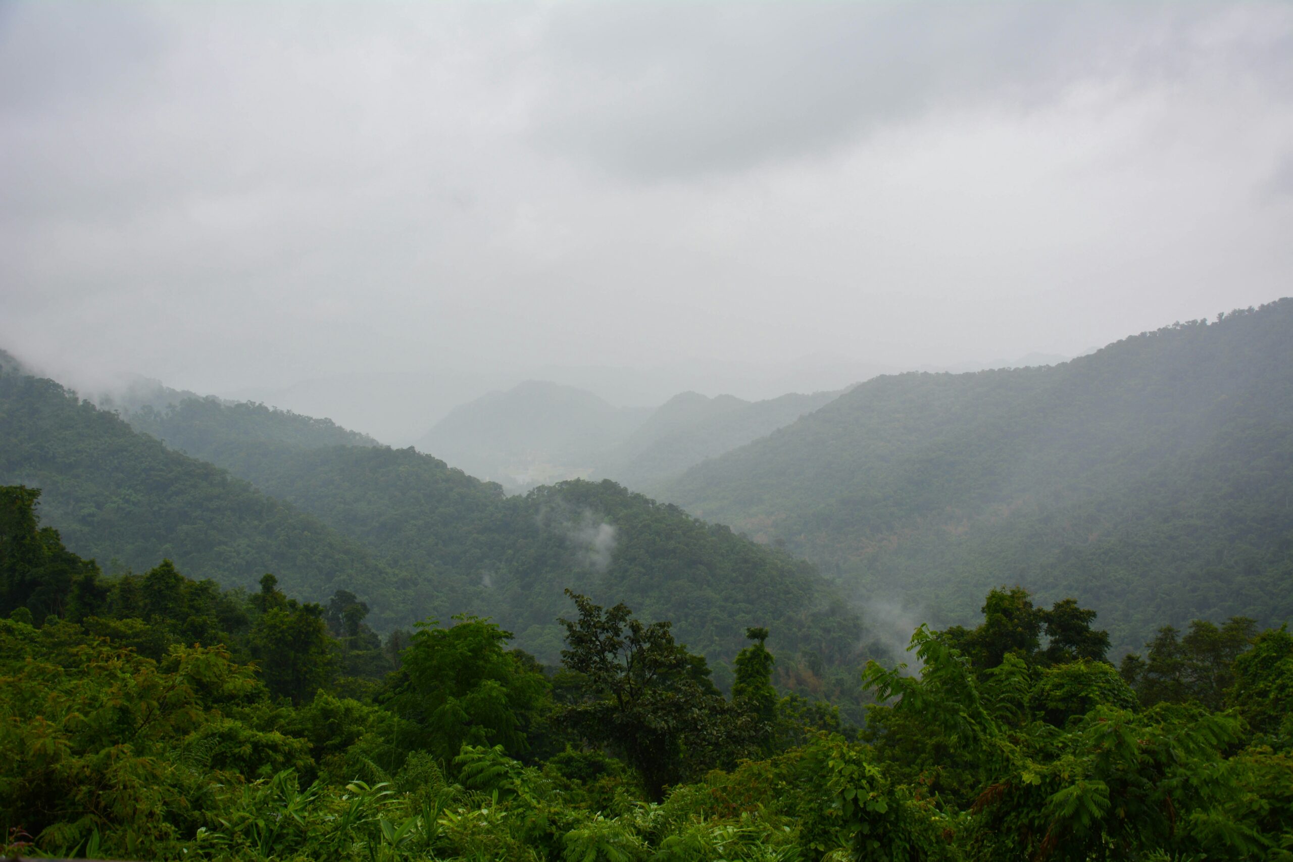
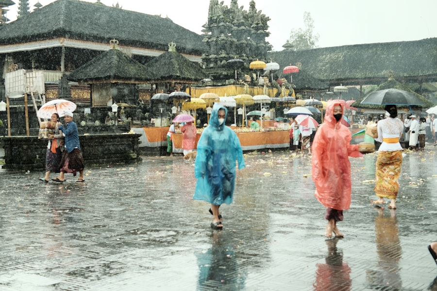
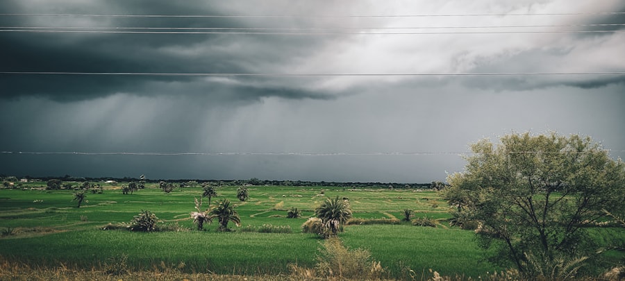
The monsoon season, bringing months of torrential rain, was a double-edged sword for the inhabitants of Angkor. On one hand, it was essential for replenishing the land, irrigating rice paddies, and sustaining the population of the sprawling empire. On the other hand, unchecked flooding could devastate crops, destroy infrastructure, and pose a significant threat to life. The Khmer recognized this duality and dedicated immense resources and intellectual effort to mitigating the risks while maximizing the benefits.
The ancient city of Angkor, known for its impressive architecture and advanced hydraulic engineering, developed sophisticated systems to manage the monsoon rains that were crucial for its agriculture and water supply. By constructing an intricate network of canals, reservoirs, and dikes, the Khmer civilization was able to harness the seasonal rains, ensuring a stable food supply and supporting a thriving population. For a deeper understanding of how historical civilizations adapt to environmental challenges, you might find the article on modern geopolitical strategies interesting, as it draws parallels between past and present resource management. You can read more about it in this article: The New Cold War: A High-Stakes Geopolitical Analysis.
The Engineering Marvel: Barays and Reservoirs
The most striking features of Angkor’s hydrological system are its immense barays, vast man-made lakes that served as colossal water storage facilities. These engineering marvels were crucial for regulating water flow, ensuring a consistent supply for agriculture and the city’s needs year-round.
The Great Barays: Monuments to Water Mastery
Two of the most prominent barays, the West Baray and the East Baray, are staggering in their scale. The West Baray, measuring approximately 8 kilometers long and 2.1 kilometers wide, could hold an astonishing volume of water. The East Baray, while slightly smaller, was equally significant. These were not just pits dug in the ground; their construction involved meticulous planning, complex earthmoving, and precise surveying, hinting at sophisticated knowledge of engineering principles.
Construction Techniques and Labor
The construction of these massive reservoirs would have required an enormous labor force, likely drawn from the populace through a corvée system. The earth excavated from the barays was likely used to build the surrounding dikes and to provide fill for the construction of temples and other structures. The scale of these projects speaks volumes about the organizational capacity and the sheer manpower available to the Khmer rulers.
The Purpose of the Barays: Beyond Simple Storage
While storing water was a primary function, the barays served multiple purposes. They acted as crucial flood control mechanisms, absorbing excess rainfall during the peak of the monsoon and slowly releasing it during drier periods. Furthermore, the evaporation from their vast surfaces could have helped moderate local temperatures, creating a more comfortable microclimate for the surrounding areas. The constant presence of water also facilitated transportation and trade via intricate canal networks.
Smaller Reservoirs and Ponds: A Network of Hydration
Beyond the colossal barays, Angkor was crisscrossed by a multitude of smaller reservoirs, ponds, and canals. This intricate network ensured that water was distributed efficiently across the landscape, reaching even the most distant agricultural lands. These smaller water bodies also played a role in local flood mitigation and provided accessible water sources for daily life.
Local Water Management Strategies
The precise management of these smaller reservoirs varied depending on their location and purpose. Some were designed to collect rainwater directly from temple courtyards and surrounding areas, while others were fed by more elaborate canal systems. This decentralized approach to water management allowed for localized adaptation to the specific needs of different communities and agricultural zones.
The Arteries of the Empire: Canals and River Diversions
Connecting the vast reservoirs and the natural river systems was an equally impressive network of canals and engineered river diversions. These arteries of water were vital for distributing resources, facilitating transportation, and further enhancing the control over water flow.
The Grand Canal Network: A Lifeline for Agriculture and Trade
The Khmers constructed an extensive system of canals that linked the major barays to each other and to the rivers. These canals served as vital irrigation channels, bringing water to the rice paddies during the dry season and draining excess water during the wet season. Beyond agriculture, these canals were the highways of the Angkorian empire, allowing for the efficient movement of goods, people, and troops across vast distances.
Hydrological Principles in Canal Design
The design of these canals likely incorporated an understanding of gradient and flow dynamics. While evidence of sophisticated mathematical calculations is scarce, the effectiveness of the canal system suggests an intuitive grasp of how to channel water efficiently. The consistent gradients, the careful selection of routes to minimize resistance, and the integration with natural waterways all point to a sophisticated understanding of hydraulics.
Diverting the Flow: Manipulating Natural Waterways
The Khmer were not afraid to alter the natural course of rivers to suit their needs. Evidence suggests they diverted or channeled rivers to fill the barays, to provide a controlled water supply to specific areas, or to manage floodwaters. These large-scale interventions demonstrate a remarkable level of ambition and engineering prowess.
The Role of the Bakheng and Other Structures
Some temple complexes, like Bakheng, were strategically built on hills and incorporated water features that may have played a role in water management. The elevation of these structures might have facilitated the channeling of water through gravity, or they might have served as observation points for monitoring water levels and flows.
Beyond the Temples: Water for a Thriving Civilization
The sophisticated water management system of Angkor was not solely for religious or monumental purposes. It was intricately woven into the fabric of daily life, supporting a massive population and enabling feats of agricultural production that sustained the empire.
Rice Cultivation: The Backbone of the Economy
Rice was the staple crop of the Khmer civilization, and its cultivation was heavily reliant on the controlled irrigation provided by the water management system. The ability to manage water levels in the rice paddies allowed for multiple harvests per year in some areas, greatly increasing food security and supporting a larger population.
Irrigation Techniques for Rice Paddies
The Khmer employed a variety of irrigation techniques, including gravity-fed systems from canals and reservoirs, as well as simpler methods like manual water lifting. The precise timing of water release and drainage was crucial for optimal rice growth, demonstrating a detailed understanding of the plant’s needs.
Providing for a Cosmopolitan City
The vast urban center of Angkor, with its estimated population of up to one million people at its height, required a constant and reliable supply of fresh water for drinking, sanitation, and industrial purposes. The hydrological system provided this essential resource, ensuring the health and functionality of the sprawling metropolis.
Sanitation and Water Quality
While direct evidence of sophisticated sanitation systems is limited, the sheer scale of the water reservoirs and the constant flow of water likely contributed to a degree of natural purification. The separation of floodwaters from potable water sources would have been a critical concern.
The ancient city of Angkor is renowned for its sophisticated water management systems that effectively harnessed monsoon rains, allowing the civilization to thrive in a challenging environment. This remarkable engineering feat is explored in depth in a related article that discusses the historical significance of water management in ancient cultures. For a fascinating look at how other civilizations navigated their own geographical challenges, you can read more about it in this article.
The Legacy of Water Management: Lessons for Today
| Aspect | Details |
|---|---|
| Reservoirs | Angkor had a sophisticated system of reservoirs to collect and store monsoon rains for agricultural use. |
| Canals | The city was connected by a network of canals that helped in managing the flow of monsoon waters and distributing it to different areas. |
| Water Management | The Khmer people developed advanced water management techniques to control the monsoon floods and ensure water supply during dry seasons. |
| Irrigation | The stored monsoon water was used for irrigation, allowing the cultivation of rice and other crops throughout the year. |
The ingenuity of Angkor’s monsoon rain management offers valuable lessons for contemporary societies grappling with water scarcity and the impacts of climate change. The Khmer civilization’s ability to harness and control water on such a grand scale, for centuries, is a testament to their foresight and engineering prowess.
Sustainable Practices and Long-Term Planning
The enduring success of Angkor’s water management system highlights the importance of sustainable practices and long-term planning. The Khmer did not simply react to the challenges of water; they proactively engineered solutions that integrated with their environment and supported their civilization for generations.
Adapting to Environmental Challenges
The Khmer demonstrated remarkable adaptability in their water management strategies, continuously refining their techniques and expanding their infrastructure. This ability to learn from their environment and to innovate is a crucial lesson for modern societies facing increasingly complex environmental challenges.
A Testament to Human Ingenuity
Angkor stands as a powerful reminder of what human civilization can achieve when it works in harmony with its environment, understanding its rhythms and harnessing its power. The magnificent monuments still standing today are not just stone structures; they are enduring symbols of a civilization built on the intelligent and masterful management of water. The echoes of their grand hydrological system continue to whisper tales of ingenuity, resilience, and a profound respect for the elemental force that shaped their world.

The Machine That Kept Angkor Alive
FAQs
1. What is Angkor and where is it located?
Angkor was the capital city of the Khmer Empire, located in present-day Cambodia. It was a major political, economic, and cultural center in Southeast Asia from the 9th to the 15th century.
2. How did Angkor manage monsoon rains?
Angkor’s engineers built an extensive system of canals, reservoirs, and moats to manage the monsoon rains. These water management systems helped to control flooding, store water for agricultural use, and provide a reliable water supply for the city’s inhabitants.
3. What were the benefits of Angkor’s water management systems?
The water management systems at Angkor allowed for the cultivation of rice and other crops, which were essential for sustaining the city’s population. Additionally, the canals and reservoirs provided a means of transportation and facilitated trade within the empire.
4. How did Angkor’s water management contribute to its decline?
While the water management systems were initially successful, they also required ongoing maintenance and management. As the Khmer Empire declined, the maintenance of these systems became more challenging, leading to the eventual abandonment of the city.
5. What is the significance of Angkor’s water management systems today?
The water management systems at Angkor are a testament to the engineering and agricultural prowess of the Khmer Empire. They also serve as a valuable historical and cultural resource, attracting tourists and researchers from around the world. Additionally, the lessons learned from Angkor’s water management continue to inform modern-day efforts to manage monsoon rains in Southeast Asia.