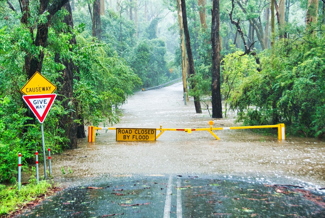
The Earth, a planet sculpted by immense forces, has a history punctuated by periods of dramatic upheaval. Among the most awe-inspiring and destructive of these events are the catastrophic deluges, vast, planet-altering floods that reshaped landscapes and extinguished life on scales almost unimaginable. These ancient inundations, far removed from the more localized floods of recent memory, represent critical chapters in Earth’s geological and biological narrative, leaving behind indelible evidence that scientists have painstakingly pieced together.
The sheer scale of ancient megafloods demands an explanation rooted in equally colossal geological processes. These weren’t mere river overflows; they were events that involved the mobilization of unimaginable volumes of water, often from sources that no longer exist in their original form or location. Understanding their origins requires delving into the planet’s dynamic geological past, where tectonic shifts, ice ages, and volcanic activity played pivotal roles. The sheer power unleashed during these moments fundamentally altered Earth’s surface, leaving behind features that continue to fascinate and puzzle geologists.
Ice Dam Failures: The Jaws of the Glacial Flood
Perhaps the most well-documented and impactful mechanism for generating catastrophic deluges is the catastrophic failure of glacial ice dams. During past ice ages, massive ice sheets, sometimes kilometers thick, advanced across continents. As these ice sheets melted and retreated, they often acted as colossal dams, impounding enormous lakes of meltwater behind them. These lakes, often held back by unstable walls of ice, could grow to be the size of modern-day seas.
The Jökulhlaup Phenomenon: Icelandic Powerhouses
Iceland, with its active volcanic and glacial interplay, provides a modern analogue for ancient ice dam failures. Jökulhlaups, as they are known locally, are subglacial volcanic eruptions that melt vast quantities of ice, releasing torrents of water and icebergs. While typically smaller in scale than the prehistoric deluges, these events showcase the raw power generated when fire meets ice. Scientists studying Iceland’s jökulhlaups have gained invaluable insights into the dynamics of glacial outburst floods. The catastrophic failure of an ice dam can be triggered by a variety of factors, including increasing hydrostatic pressure from the accumulating water, seismic activity weakening the ice, or even the inherent instability of the ice structure itself. When the dam finally gives way, the stored energy is released in an explosive surge, characterized by immense volumes of water carrying colossal ice blocks and debris.
The Missoula Floods: A North American Epic
The most famous example of an ice dam failure is undoubtedly the series of Missoula Floods that swept across the Pacific Northwest of North America. During the Pleistocene epoch, the Cordilleran Ice Sheet advanced southward, blocking the Clark Fork River in western Montana. This blockage created a colossal glacial lake, Lake Missoula, which at its peak held an estimated volume of water comparable to that of modern-day Lake Michigan. Periodically, the ice dam would fail catastrophically, releasing trillions of cubic meters of water in a surging wall that scoured the landscape.
Carving the Spokane Channel: Evidence of Fury
The evidence for these floods is etched indelibly into the landscape. Giant ripple marks, some hundreds of feet long and tens of feet high, can be found in eastern Washington. The Channeled Scablands, a vast and rugged terrain of canyons, coulees, and dry waterfalls, were carved by these immense floods. The powerful currents eroded solid bedrock, transporting enormous boulders and shaping the land in ways that defy explanation by normal fluvial processes. The sheer speed and volume of the water were such that it could overcome geological resistance, reshaping mountains and valleys in a matter of days or weeks.
The Palouse Falls: A Testament to Erosion
Palouse Falls, a spectacular waterfall in Washington State, is a testament to the erosive power of the Missoula Floods. While its current flow is significant, it pales in comparison to the colossal surges that carved its present form. The river that feeds Palouse Falls is miles away from the main path of the Missoula Floods, yet the falls themselves exhibit features indicative of extreme ancient erosional forces, suggesting the floods navigated and sculpted even the most resistant terrains.
Tectonic Tumbles and Volcanic Vents: Reshaping the Earth’s Surface
Beyond the glaciers, the very architecture of the Earth, its tectonic plates and volcanic heart, has been a source of colossal water mobilization. Massive tectonic shifts can open up new avenues for water, while volcanic activity can unleash immense volumes of water trapped beneath the surface or trigger associated glacial melt.
The Messinian Salinity Crisis: A Mediterranean Draining and Refilling
The Messinian Salinity Crisis, occurring roughly 5.96 to 5.33 million years ago, offers a dramatic example of tectonic influence on a grand scale. During this period, the Strait of Gibraltar, the only connection between the Mediterranean Sea and the Atlantic Ocean, was repeatedly closed by tectonic uplift. Without an influx of fresh ocean water, the Mediterranean began to evaporate, leaving behind massive deposits of salt and gypsum, some thousands of meters thick. Evaporation continued, transforming the basin into a vast, arid desert riddled with deep canyons at levels far below the present-day sea.
The Zanclean Flood: A Swift and Violent Return
The end of the Messinian Salinity Crisis was marked by the Zanclean Flood, an event so rapid and powerful that it is considered one of the most significant geological events of the Neogene period. A seismic event is believed to have reopened the Strait of Gibraltar, allowing Atlantic Ocean water to pour into the Mediterranean basin. This invasion was not a gentle seep; it was a cataclysmic deluge, with estimates suggesting that the entire basin was refilled in a matter of months, perhaps even weeks. The influx of water would have created immense waterfalls and torrents, rapidly erodeing coastal landscapes and leaving behind features still discernible today.
Volcanic Caldera Collapse: The Crater Lake Parallel
The collapse of large volcanic calderas can also create conditions for significant water accumulation and subsequent release. Crater Lake in Oregon, formed by the collapse of Mount Mazama, is a beautiful example of a caldera lake. However, in Earth’s deep past, similar collapses on a much grander scale, possibly involving more volatile geological conditions, could have led to the formation of super-lakes. The sudden rupture of such a lake’s damming structure, whether it be solidified lava flows or unstable caldera walls, could result in a devastating release of water.
Subglacial Lake Explosions: Hidden Reservoirs Unleashed
Beneath vast ice sheets, the immense pressure can create enormous subglacial lakes. These hidden reservoirs of liquid water, sometimes hundreds of meters deep, are highly susceptible to sudden drainage events. As ice sheets shift or melt, these lakes can find pathways to the surface, leading to explosive outbursts.
The Antarctic Subglacial Lakes: Current Day Laboratories
Antarctica boasts numerous subglacial lakes, the most famous being Lake Vostok. While these lakes are currently stable, their immense size and the pressures they are under make them theoretical candidates for future colossal flood events, perhaps triggered by climatic shifts or seismic activity. Scientists are actively studying these lakes to understand their dynamics and the potential implications of their sudden drainage, providing crucial insights into the mechanics of ancient subglacial outburst floods.
Throughout Earth’s history, great floods have played a significant role in shaping landscapes and influencing human civilization. An intriguing article that explores the remarkable properties of ancient materials, such as Roman concrete, can provide insight into how past civilizations adapted to environmental challenges, including flooding. For more information on this topic, you can read the article here: Revolutionary Roman Concrete: Self-Healing Wonders.
Evidence in the Rocks: Geological Signatures of Deluges
The history of catastrophic deluges is not solely written in scientific speculation; it is profoundly imprinted upon the very rocks and landscapes of our planet. Geologists have meticulously studied these ancient floodplains, identifying unique features that serve as undeniable markers of these immense water events.
Megaripples and Scour Marks: The Landscape’s Memory
The most striking evidence of colossal floods is the presence of massive sedimentological features that could only have been created by extreme water velocities and volumes. These include enormous ripple marks, far larger than anything produced by normal rivers, and vast, intricate scour marks etched into bedrock.
Giant Ripples in Remote Regions: Unmistakable Traces
In regions like the Pacific Northwest, where the Missoula Floods occurred, geologists have mapped ripple marks that stretch for miles and stand tens of feet high. These “mega-ripples” are formed by the movement of colossal amounts of sediment, characteristic of floodwaters carrying immense debris loads. The directional orientation of these ripples also provides valuable clues about the flow patterns of the ancient floodwaters.
Scour Channels and Giant’s Causeways: Bedrock Carved by Fury
The sheer erosive power of floodwaters can sculpt bedrock itself. Vast scour channels, often miles long and hundreds of feet deep, are testament to the relentless cutting action of these ancient torrents. In some areas, there are formations resembling colossal, irregular basalt columns or fragmented, almost melted-looking rock, nicknamed “Giant’s Kettle holes” or “Giant’s Causeways” due to their immense scale and intricate patterns, which are interpreted as being formed by whirlpools and extreme turbulence within the floodwaters.
Sedimentary Layers and Paleoflood Deposits: A Layered History
The deposition of sediments during and after a flood event creates distinct geological layers. Paleoflood studies, the examination of these ancient flood deposits, provide a chronological record of past inundations.
Stratigraphic Clues: Unraveling Flood Sequences
Geologists analyze the composition, grain size, and layering of sedimentary deposits to infer the magnitude and characteristics of past floods. Thick, poorly sorted gravels deposited rapidly indicate high-energy flows, while finer silts and clays can suggest waning floodwaters. The presence of unique sediment types, such as volcanic ash or transported fossils, can further help to correlate flood events across different regions.
Dating the Disaster: Radiocarbon and Luminescence Techniques
Precise dating of flood deposits is crucial for understanding the timing and frequency of these events. Radiocarbon dating of organic material trapped within flood deposits, along with luminescence dating of sediment grains, allows scientists to establish chronologies for past deluges.
Extinct Ecosystems and Life’s Resilience: The Biological Impact

Catastrophic deluges were not just geological events; they were biological cataclysms, reshaping the very tapestry of life on Earth. The immense destruction wrought by these floods would have caused widespread extinction, while also creating new ecological niches and, in some cases, driving evolutionary innovation.
Mass Extinctions and Survivors: A Harsh Selection Process
The sheer scale of destruction and habitat loss associated with catastrophic floods would have led to significant mass extinction events. Organisms unable to adapt to the rapid and radical environmental changes would have perished.
Aquatic Devastation: Clearing the Decks
Aquatic ecosystems would have been particularly vulnerable. Entire river systems, lakes, and even coastal marine environments could have been wiped clean by the colossal surges, eradicating countless species of fish, invertebrates, and plankton. The immense turbulence and sediment load would have choked gills and buried habitats.
Terrestrial Catastrophe: Landscape Annihilation
Terrestrial life also suffered greatly. Vast areas would have been inundated, with forests uprooted, plains scoured clean, and animal populations decimated. Movement and survival in the face of such overwhelming forces would have been incredibly challenging, with even the most adaptable species facing extinction.
The Birth of New Niches: Evolutionary Opportunities
Despite the destruction, catastrophic floods could also create new ecological opportunities. The reshaping of landscapes, the deposition of nutrient-rich sediments, and the isolation of populations could all drive evolutionary diversification.
Colonization of New Lands: Fresh Starts
As floodwaters receded, they would have left behind new, often fertile land. These newly exposed areas could have been colonized by hardy pioneer species, setting the stage for the development of new ecosystems and the evolution of novel adaptations.
Diversification in Isolation: The Island Effect
In some cases, floodwaters could have isolated populations of organisms on newly formed islands or elevated refugia. This isolation could have led to rapid evolutionary divergence, as these populations adapted to their specific environments, a phenomenon akin to the evolutionary processes observed on oceanic islands.
The Modern Echo: Lessons from Ancient Cataclysms
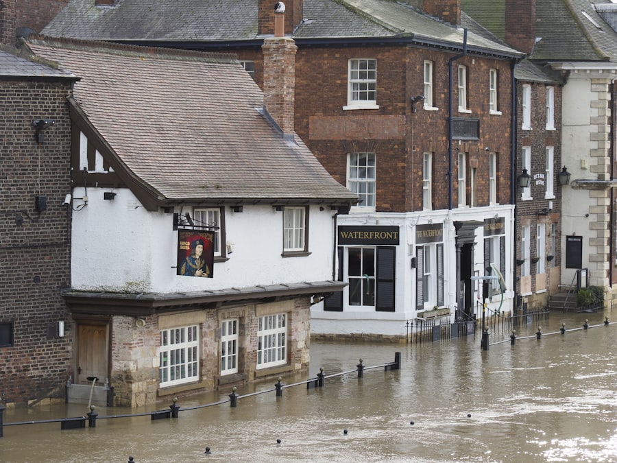
While the Earth has long since moved past the era of planet-altering deluges on the same scale as those seen in the prehistoric past, the study of these ancient events holds profound lessons for understanding our planet and our place upon it.
Understanding Earth’s Dynamics: A Long-Term Perspective
The study of catastrophic deluges provides a crucial long-term perspective on Earth’s geological and hydrological processes. It highlights the immense power of natural forces and the dynamic nature of our planet, reminding us that the landscapes we inhabit are products of eons of dramatic change.
Climate Change and Flood Potential: A Cautionary Tale
Understanding the mechanisms behind ancient megafloods can inform our understanding of future flood risks, particularly in the context of current climate change. While the triggers may differ, the potential for extreme water events remains, and historical examples offer valuable case studies for preparedness and mitigation. The study of glacial outburst floods, for instance, can inform assessments of risks associated with melting glaciers and the formation of new glacial lakes in a warming world.
The Search for Life Beyond Earth: Astrobiological Implications
The powerful reshaping of Earth’s surface by water has implications for the search for life beyond our planet. The evidence suggests that liquid water, even in extreme quantities and turbulent forms, can be a powerful agent for both destruction and the creation of environments conducive to life.
Water as a Universal Solvent: A Common Thread
The universal presence of water as a solvent and its role in geological processes across the solar system makes the study of Earth’s deluges relevant to astrobiology. If life can arise and persist in the face of such powerful hydrological events on Earth, it suggests that similar processes, even if on different scales and with different chemical compositions, could potentially foster life on other worlds. The sheer transformative power of water, from carving canyons to depositing the building blocks of life, underscores its fundamental importance in planetary evolution.
Throughout Earth’s history, great floods have shaped landscapes and influenced the course of civilizations. These cataclysmic events serve as a reminder of the planet’s dynamic nature and the impact of climate change over millennia. For a deeper understanding of how such environmental shifts have occurred, you can explore the fascinating documentary that delves into Earth’s environmental history in the article found here. This resource provides valuable insights into the interplay between climate and geological events, including the great floods that have left their mark on our planet.
Enduring Mysteries and Future Exploration: Uncharted Waters
| Flood Event | Location | Year | Estimated Casualties |
|---|---|---|---|
| Mississippi River Flood | United States | 1927 | Over 200 deaths |
| Yellow River Flood | China | 1931 | Estimated 1-4 million deaths |
| The Great Flood | Mesopotamia | Around 2900 BC | Unknown casualties |
| Central European Floods | Central Europe | 2002 | Over 100 deaths |
Despite significant advancements in our understanding of catastrophic deluges, many mysteries remain. The precise triggers for some of the most colossal events are still debated, and the full extent of their ecological and evolutionary impacts is likely yet to be fully understood.
Reassessing Past Events: New Technologies, New Insights
With the advent of advanced remote sensing technologies, geological mapping techniques, and sophisticated climate modeling, scientists are continuously revisiting and reassessing evidence of past deluges. This ongoing research promises to refine our understanding of their scale, frequency, and geographical reach.
The Unseen Archives: Subsurface Exploration
Much of the evidence for ancient deluges may lie hidden beneath layers of more recent geological deposits or in unexplored regions of the planet. Future subsurface exploration, utilizing techniques like seismic surveying and deep drilling, may reveal further clues to these epic events.
The Dynamic Planet: A Continuous Story
The Earth’s story is one of perpetual change, punctuated by periods of profound transformation. The catastrophic deluges of the past serve as powerful reminders of this inherent dynamism, shaping our planet in ways that continue to inspire awe and fuel scientific inquiry. Their legacy is not merely in the scarred landscapes and fossilized remains, but in the ongoing scientific quest to decipher the planet’s ancient whispers, a quest that continually reshapes our understanding of Earth’s incredible and often violent, past.

When the Mediterranean Became a Desert | The Messinian Salinity Crisis Explained
FAQs
1. What are great floods in Earth history?
Great floods in Earth history refer to large-scale flooding events that have occurred throughout the planet’s history. These floods are often associated with catastrophic natural events such as glacial outburst floods, tsunamis, or intense rainfall.
2. What are some examples of great floods in Earth history?
Some examples of great floods in Earth history include the Missoula Floods in North America, the Black Sea Deluge, the flooding of the Mediterranean Basin to form the Black Sea, and the flooding of the English Channel.
3. What causes great floods in Earth history?
Great floods in Earth history can be caused by a variety of factors, including glacial melting, tectonic activity, volcanic eruptions, and extreme weather events. These events can lead to the sudden release of large volumes of water, resulting in widespread flooding.
4. What impact do great floods have on the Earth’s landscape?
Great floods in Earth history have had a significant impact on the planet’s landscape, shaping valleys, canyons, and other geological features. These floods can also deposit large amounts of sediment, leading to the formation of floodplains and deltas.
5. How do scientists study great floods in Earth history?
Scientists study great floods in Earth history through a combination of geological evidence, such as sediment deposits and erosion patterns, as well as through the use of dating techniques to determine the timing of these events. Additionally, researchers use computer modeling to simulate the potential impact of these floods on the landscape.