The arid plains of the Nasca region in southern Peru, a landscape steeped in mystery and ancient artistry, have once again yielded remarkable secrets. A comprehensive survey conducted between 2023 and 2024 has unearthed an astonishing 248 new geoglyphs, adding significantly to the already vast corpus of these enigmatic earth drawings. This groundbreaking discovery, made possible by advancements in aerial imaging technology and meticulous ground-level exploration, promises to reshape our understanding of the Nasca culture and their motivations for creating these monumental figures on the desert floor. For decades, archaeologists and researchers have been captivated by the Nasca Lines, a UNESCO World Heritage site renowned for its depictions of animals, plants, and geometric shapes, many of which are only discernible from great heights. The sheer scale of the newly found geoglyphs, coupled with their diverse forms and distribution, underscores the complexity and enduring legacy of this ancient civilization. This article delves into the methodology behind this remarkable discovery, explores the types and characteristics of the new geoglyphs, examines their potential significance, and discusses the implications for future research and preservation efforts.
Unveiling the Desert’s Canvas: Methodology and Technological Advancements
The success of the 2023-2024 survey in identifying such a substantial number of new geoglyphs is a testament to the innovative integration of cutting-edge technology with traditional archaeological fieldwork. The sheer vastness of the Nasca region, coupled with the often subtle nature of geoglyphic designs, presented a formidable challenge. However, recent advancements in remote sensing and aerial photography, combined with sophisticated data analysis techniques, have revolutionized the process of discovery.
The Power of High-Resolution Aerial Imaging
The cornerstone of this recent survey was the extensive use of high-resolution aerial imaging. Drones equipped with advanced cameras, including multispectral and thermal sensors, were deployed to systematically map vast swathes of the Nasca desert. These drones were programmed to fly at specific altitudes and patterns, ensuring comprehensive coverage of the landscape. The resulting imagery provided an unprecedented level of detail, allowing researchers to identify faint lines and patterns that had previously gone unnoticed. Multispectral imaging proved particularly crucial, as it captures light beyond the visible spectrum, revealing subtle differences in soil composition and vegetation that can highlight the presence of buried or degraded geoglyphs. Thermal imaging also played a role, detecting variations in ground temperature that can sometimes indicate the presence of disturbed earth, a common characteristic of geoglyph construction.
Ground-Truthing and On-Site Verification
While aerial imaging provided the initial leads, it was the painstaking work of ground-truthing that confirmed the existence and nature of the newly identified geoglyphs. Teams of archaeologists and trained field technicians meticulously navigated the desert, following up on anomalies detected in the aerial imagery. This involved careful observation, meticulous documentation, and often, precise mapping using GPS devices. The process required not only a keen eye for detail but also a deep understanding of the geological and ecological context of the Nasca region. Ground-truthing allowed for the direct examination of the geoglyphs, determining their scale, orientation, and the techniques used in their creation, such as the removal of dark desert varnish to expose lighter soil beneath. This on-site verification was crucial for distinguishing genuine geoglyphs from natural geological formations or modern-day disturbances.
Advanced Data Processing and GIS Integration
The sheer volume of data generated by the aerial surveys necessitated the development and application of sophisticated data processing techniques. Specialized software was employed to stitch together thousands of individual images, creating detailed orthomosaics of the landscape. These orthomosaics were then analyzed using Geographic Information Systems (GIS). GIS platforms allowed researchers to layer the aerial data with existing topographical maps, satellite imagery, and previously documented geoglyph locations, facilitating a holistic understanding of their spatial distribution. Algorithms were developed to automatically detect patterns and anomalies within the data, flagging potential geoglyphs for further investigation. This computational approach significantly accelerated the discovery process and enabled the identification of geoglyphs that might have been overlooked by human observation alone. The integration of these various technological tools created a powerful synergy, allowing for a level of detail and efficiency previously unattainable.
The recent discovery of 248 new geoglyphs in the 2023-2024 survey has sparked significant interest in understanding ancient civilizations and their environmental interactions. These geoglyphs, which are large designs or motifs created on the ground, provide valuable insights into the cultural practices and ecological challenges faced by past societies. For a deeper exploration of how environmental degradation has historically contributed to the collapse of civilizations, you can read more in the article titled “The Real Reason for Civilization Collapse: Environmental Degradation” available at this link.
A Gallery of the Ancients: Diversity and Characteristics of the New Geoglyphs
The 248 newly discovered geoglyphs represent a significant expansion of our knowledge regarding the artistic repertoire and spatial organization of the Nasca people. While many of these new figures share characteristics with previously known examples, a notable portion exhibits unique forms and arrangements, offering fresh insights into their cultural practices.
Beyond the Familiar: Unprecedented Forms and Figures
While iconic figures such as hummingbirds, monkeys, and spiders are well-represented among the known Nasca Lines, the recent survey has brought to light a diverse array of previously undocumented forms. Among the new discoveries are several intricate geometric designs, including complex starburst patterns and interlocking shapes that suggest a sophisticated understanding of geometry and spatial relationships. Furthermore, a number of zoomorphic figures, while still depicting animals, possess distinct stylistic features or represent species not previously identified in the geoglyphic record. Researchers are particularly intrigued by some of the more abstract designs, which may have held symbolic or ritualistic meanings that are yet to be deciphered. The scale of these new geoglyphs varies considerably, from relatively small, localized figures to expansive designs that stretch for hundreds of meters. This variation in size suggests a range of purposes and perhaps, different creators or periods of creation.
Spatial Distribution and Contextual Clues
The spatial distribution of the newly discovered geoglyphs is as significant as their forms. While many are located in proximity to known geoglyphic areas, a substantial number have been found in previously unsurveyed regions, extending the perceived boundaries of Nasca artistic activity. This widespread distribution suggests that the creation of geoglyphs was not confined to a few select ceremonial centers but was a practice embedded across a broader geographical landscape. Researchers are meticulously analyzing the contextual relationship of these new geoglyphs to ancient settlements, agricultural terraces, and water sources. The proximity of certain newly found figures to ancient roads or pathways hints at their potential use as navigational markers or as visual cues for travelers. Conversely, other geoglyphs found in more remote locations might have served more esoteric or ritualistic purposes, perhaps connected to specific astronomical events or local deities.
Techniques of Creation and Preservation
The study of the newly unearthed geoglyphs has also provided further insights into the methods employed by the Nasca people to create these enduring art forms. The predominant technique involved the removal of the dark, iron-rich desert varnish that coats the surface of the Pampa Colorada, exposing the lighter, underlying soil. This created a stark contrast, making the figures visible from above. The precision and skill involved in these earth-moving endeavors are remarkable, especially considering the tools available to the ancient inhabitants. The preservation of many of these newly discovered geoglyphs is attributed to the arid and stable climate of the Nasca desert, which minimizes erosion and vegetation growth. However, evidence of erosion and degradation on some of the older or more exposed figures highlights the ongoing challenges of preserving these fragile archaeological treasures for future generations. Understanding these construction and preservation techniques is crucial for informing ongoing conservation efforts.
Deciphering the Purpose: Hypotheses and Interpretations
The discovery of such a large number of new geoglyphs inevitably fuels renewed debate and exploration into their original purpose. For decades, theories have abounded, ranging from astronomical calendars and agricultural markers to ritualistic pathways and artistic expressions. The latest findings offer tantalizing clues that may help refine or even overturn existing hypotheses.
Astronomical Connections and Calendrical Functions
One of the most enduring theories surrounding the Nasca Lines posits their connection to astronomical observation and calendrical functions. The precise alignment of some of the known geoglyphs with celestial events, such as solstices and equinoxes, has lent considerable weight to this hypothesis. The newly discovered figures, with their intricate geometric patterns and sometimes abstract designs, are now being subjected to rigorous astronomical analysis. Researchers are investigating whether specific arrangements or orientations of these new geoglyphs correspond to significant celestial alignments or cycles that were important to the Nasca people. For instance, the discovery of new starburst-like designs could be interpreted as representations of constellations or as markers for celestial events. The sheer number and diversity of the new geoglyphs might indicate a more complex and comprehensive calendrical system than previously imagined, potentially tracking lunar cycles, planetary movements, or other astronomical phenomena.
Ritualistic Pathways and Ceremonial Significance
Another prominent theory suggests that the geoglyphs served as pathways for ritualistic processions or as stages for ceremonies. The linear nature of many geoglyphs, particularly the long, straight lines and trapezoidal shapes, lends itself to interpretations as ceremonial routes. The new discoveries, especially those found in more remote or elevated locations, are being examined for their potential connection to pilgrimage routes or sites of religious significance. The presence of offerings or ancient artifacts near some geoglyphs, which may be uncovered during further ground-truthing of the new discoveries, could provide crucial evidence to support this interpretation. The diversity of forms might also suggest different types of rituals or ceremonies, perhaps for specific deities, seasonal events, or life cycle passages. The exploration of the surrounding landscape for evidence of ancient structures or gathering places near these new geoglyphs will be crucial in testing this hypothesis.
Expressions of Belief and Cultural Identity
Beyond calendrical or ritualistic functions, the geoglyphs undoubtedly served as profound expressions of the Nasca people’s beliefs, cosmology, and cultural identity. The vibrant zoomorphic figures, often depicting animals with symbolic importance in Andean cultures, are likely imbued with deep mythological and spiritual meaning. The newly discovered figures, particularly those with unique or abstract forms, could represent deities, ancestral spirits, or concepts central to the Nasca worldview. Their creation and maintenance would have been a communal undertaking, fostering a shared sense of identity and purpose. The sheer effort and ingenuity required to produce these monumental artworks speak to their profound importance to the Nasca society. As researchers continue to analyze the stylistic elements and symbolic associations of the new geoglyphs, they hope to gain a deeper understanding of the Nasca people’s spiritual landscape and their place in the cosmos. The distribution patterns, too, might reveal how different communities or social groups interacted with these artistic expressions.
Implications for Nasca Studies and Future Research
The discovery of 248 new geoglyphs represents not an endpoint, but a significant inflection point for Nasca studies. This wealth of new data demands a re-evaluation of existing theories, opens up new avenues for research, and underscores the critical need for robust preservation strategies.
Reassessing Existing Hypotheses and Developing New Frameworks
The substantial increase in the known number of geoglyphs necessitates a critical reassessment of current hypotheses regarding their purpose and creation. While established theories about astronomical calendars and ritualistic pathways remain valid starting points, the sheer volume and diversity of the new figures suggest that the reality was likely far more complex and multifaceted. Researchers will need to develop new analytical frameworks that can account for the wider range of forms, sizes, and spatial distributions observed. This may involve the application of advanced statistical modeling to identify patterns that were not apparent with a smaller dataset. The interrelationships between the newly discovered geoglyphs and previously known ones will be crucial in constructing a more holistic understanding of the Nasca Lines as a dynamic and evolving cultural phenomenon. The possibility of multiple, overlapping purposes, or purposes that changed over time, is now more plausible than ever.
The Role of Interdisciplinary Collaboration
Unlocking the full potential of this discovery will require an unprecedented level of interdisciplinary collaboration. Archaeologists, of course, will continue to lead the interpretation of the geoglyphs themselves, but their work will be significantly enhanced by the contributions of astronomers, geologists, anthropologists, computer scientists, and even botanists. Astronomers can provide sophisticated analysis of celestial alignments. Geologists can help understand the subsurface conditions and the raw materials used. Anthropologists can offer insights into cultural practices and belief systems of ancient Andean societies. Computer scientists are essential for developing and applying the advanced data analysis tools that made this discovery possible and will be crucial for managing and interpreting the vast datasets. Even botanists might contribute by studying ancient pollen or plant remains found in association with the geoglyphs, offering clues about the environment in which they were created and the resources used. This integrated approach is essential for piecing together the complex puzzle of the Nasca geoglyphs.
Prioritizing Preservation and Sustainable Tourism
The discovery of such a significant number of new geoglyphs also amplifies the urgent need for effective preservation strategies. The delicate nature of these earthworks makes them vulnerable to natural erosion, climate change, and human impact. The newly identified geoglyphs, especially those in previously undisturbed areas, will require immediate assessment and protection measures. This may involve fencing off sensitive areas, implementing erosion control techniques, and developing more robust monitoring systems. Furthermore, the potential for increased tourism resulting from these exciting discoveries necessitates careful planning to ensure sustainable practices. While tourism can provide vital economic support for local communities and raise awareness of the Nasca heritage, it must be managed in a way that minimizes any negative impact on the fragile geoglyphs. Balancing the desire for public access and education with the imperative of long-term preservation will be a critical challenge moving forward. The integration of local communities in these preservation efforts is also paramount.
In the fascinating world of archaeology, the recent discovery of 248 new geoglyphs has captured the attention of researchers and enthusiasts alike. This survey, conducted in 2023 and 2024, highlights the importance of understanding ancient cultures and their connection to the landscape. For those interested in broader implications of historical trends, a related article discusses the potential economic shifts that may arise in the coming years, which can be explored further in this insightful piece on the impending US dollar collapse. The intersection of history and economics provides a rich context for examining how past civilizations might inform our future.
A Legacy Etched in the Earth: Concluding Thoughts
| Metric | Value | Details |
|---|---|---|
| Total New Geoglyphs Discovered | 248 | Number of geoglyphs identified in the 2023-2024 survey |
| Survey Period | 2023 – 2024 | Duration of the geoglyph survey |
| Geographical Region | Various locations | Regions where new geoglyphs were found |
| Survey Methods | Satellite imagery, drone reconnaissance | Techniques used to identify geoglyphs |
| Average Size of Geoglyphs | 50 – 200 meters | Estimated size range of the new geoglyphs |
| Types of Geoglyphs | Animal figures, geometric shapes, human forms | Variety of geoglyph designs discovered |
| Estimated Age | 500 – 2000 years | Approximate age range based on preliminary analysis |
| Conservation Status | Under assessment | Current status of preservation efforts |
The discovery of 248 new geoglyphs in the Nasca region between 2023 and 2024 is a monumental achievement in archaeological exploration. It underscores the enduring power of human ingenuity and the profound mysteries that still lie hidden beneath the sands of time. These newly revealed figures are not merely lines on the ground; they are tangible echoes of a sophisticated civilization, offering a glimpse into their worldview, their relationship with the cosmos, and their artistic aspirations. As technology continues to advance and interdisciplinary research deepens, each new discovery promises to peel back another layer of the enigma that is the Nasca culture. The ongoing work in this sacred desert landscape serves as a powerful reminder of the importance of continued exploration, rigorous scientific inquiry, and unwavering dedication to preserving our shared human heritage. The Nasca Lines, now even more extensive and varied, will undoubtedly continue to inspire wonder and fuel scholarly debate for generations to come, solidifying their place as one of the most compelling archaeological landscapes on Earth. The sheer scale of the effort involved in their creation, and their remarkable preservation over millennia, speaks volumes about the ingenuity and cultural significance of the people who etched them into the desert canvas.
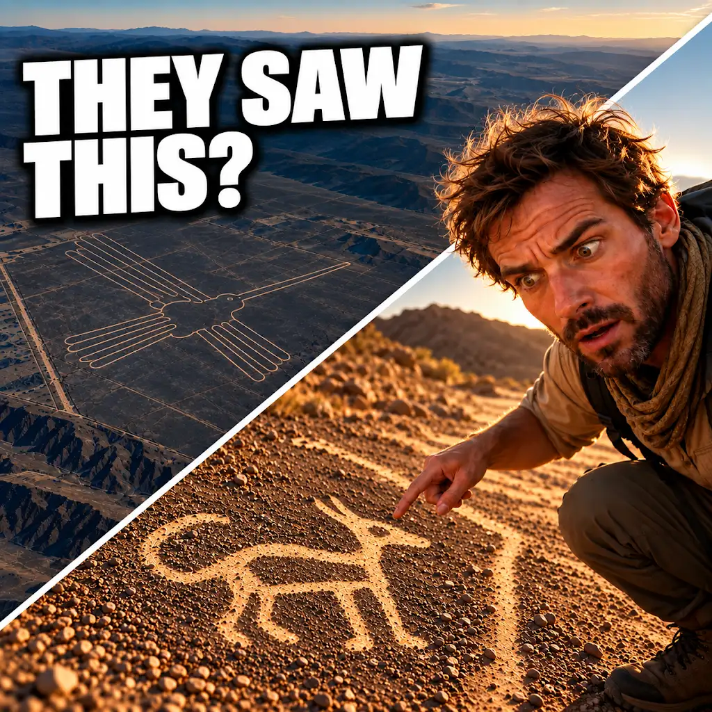
AI Found New Nazca Drawings—Could People See Them from the Ground?
FAQs
What are geoglyphs?
Geoglyphs are large designs or motifs created on the ground, typically by arranging stones or removing topsoil to reveal the underlying earth.
How many new geoglyphs were discovered in the 2023-2024 survey?
A total of 248 new geoglyphs were discovered during the 2023-2024 survey, adding to the existing collection of geoglyphs in the area.
Where were the new geoglyphs found?
The new geoglyphs were found in a specific region or location that was surveyed during the 2023-2024 study. The exact location may vary depending on the specific details provided in the article.
What is the significance of discovering new geoglyphs?
The discovery of new geoglyphs can provide valuable insights into the culture, beliefs, and practices of the ancient civilizations that created them. It can also help researchers better understand the historical and archaeological significance of the area.
How were the new geoglyphs identified during the survey?
The new geoglyphs were likely identified using various surveying techniques, such as aerial photography, satellite imagery, ground surveys, and other remote sensing technologies. These methods help researchers detect and map out the geoglyphs on the landscape.