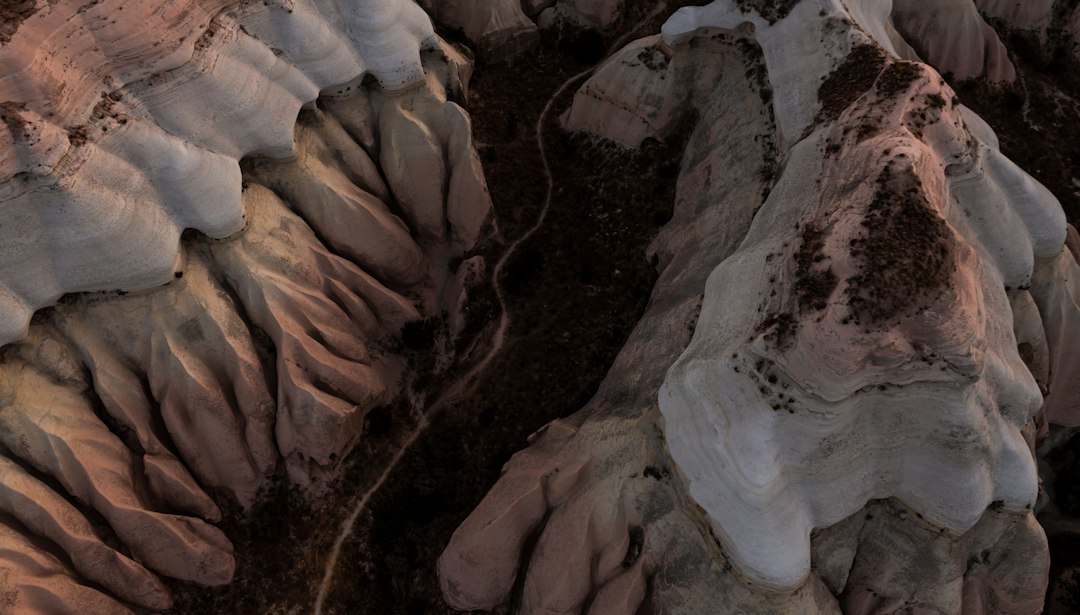
The colossal forces of the Ice Age, a period of dramatic climatic shifts spanning millions of years, have sculpted the Earth’s surface in ways that continue to awe and inspire. During these glacial epochs, vast ice sheets, some miles thick, advanced and retreated across continents, fundamentally reshaping landscapes and leaving behind a legacy of spectacular rock formations and iconic landmarks. These geological wonders, born from the immense power of ice and meltwater, stand as silent witnesses to a prehistoric world, offering invaluable insights into Earth’s dynamic past. From the jagged peaks carved by alpine glaciers to the sprawling plains smoothed by continental ice sheets, the evidence of glaciation is etched into the very bedrock of our planet.
The Sculpting Power of Glacial Ice
The sheer weight and inexorable movement of glaciers possess an astonishing capacity to erode and transport rock. As these frozen rivers flowed, they acted like gigantic sandpaper, grinding down bedrock, plucking away large chunks, and carrying immense quantities of sediment. This relentless abrasion and quarrying sculpted valleys, smoothed mountainsides, and carved out dramatic features that define many of the world’s most striking natural landmarks. The process is slow, measured in millennia, but the cumulative effect is profound, leaving an indelible mark on the geological record.
Abrasion and Plucking: The Dual Action of Glacial Erosion
Glacial erosion operates through two primary mechanisms: abrasion and plucking. Abrasion occurs as rocks and sediment embedded within the base and sides of a glacier are dragged across the underlying bedrock. These embedded fragments, acting like cutting tools, scrape and grind the rock surface, creating striations, polish, and fine dust. The harder the bedrock and the more debris the glacier carries, the more intense the abrasion. This process can reduce mountains to rolling hills and polish bedrock to a mirror-like sheen.
Plucking, on the other hand, is a more forceful process. As meltwater seeps into cracks and joints in the bedrock, it can freeze. Upon freezing, the water expands, exerting pressure that widens the cracks. As the glacier moves downhill, the ice grips the loosened rock fragments and pulls them away, a process often referred to as frost wedging amplified by glacial motion. These plucked blocks, ranging from small pebbles to massive boulders, are then incorporated into the glacier and contribute to its erosive power, further abrading the underlying rock. This combination of grinding and tearing carves out distinctive features.
U-Shaped Valleys and Fjords: The Iconic Imprint of Valley Glaciers
One of the most recognizable hallmarks of glacial activity is the U-shaped valley. Before glaciation, river valleys typically exhibit a V-shape, with steep sides and a narrow floor. As valley glaciers, confined by the valley walls, advance, their immense mass and erosive power widen and deepen these V-shaped valleys into broad, sweeping U-shapes. The glacier’s weight smooths the valley floor, truncates the lower portions of tributary valleys (creating hanging valleys), and leaves behind characteristic glacial troughs.
Fjords are a dramatic manifestation of this U-shaped valley formation, particularly in mountainous coastal regions. These are deep, narrow inlets of the sea, characterized by steep cliffs and a U-shaped cross-section, extending far inland. Fjords are essentially glacial valleys that have been carved below sea level and subsequently flooded by the ocean as the glaciers retreated and sea levels rose. The depth of some fjords, such as Norway’s Sognefjord or New Zealand’s Milford Sound, can exceed a thousand meters, testament to the immense erosive power of the glaciers that carved them. The sheer scale and dramatic scenery of fjords are directly attributable to the Ice Age’s relentless sculpting.
The distinct rock formations found in various landmarks around the world offer a fascinating glimpse into the geological history shaped by the Ice Age. These formations, often characterized by their unique shapes and compositions, tell a story of the Earth’s climatic changes over millennia. For an intriguing exploration of how ancient landscapes are hidden beneath the ice, you can read more in this article about a mysterious landmass beneath Antarctic ice: Mysterious Landmass Beneath Antarctic Ice.
Deposition: The Legacy of Glacial Transport

As glaciers melt and retreat, they release the vast quantities of rock and sediment they have transported. This material, collectively known as glacial drift or till, is deposited in a variety of forms, creating a diverse array of depositional landforms. These features, from vast plains to intricate ridges, are as characteristic of Ice Age landscapes as the erosional features themselves.
Moraines: The Ridge-like Accumulations of Glacial Debris
Moraines are perhaps the most common and recognizable depositional landforms created by glaciers. They are ridges or mounds composed of till, deposited at the edges or beneath the ice. Terminal moraines mark the furthest extent of a glacier’s advance, forming a curved ridge across the landscape. Lateral moraines are deposited along the sides of a valley glacier, forming parallel ridges. Medial moraines are formed when two glaciers merge, and their lateral moraines combine into a single ridge running down the center of the larger glacier. Recessional moraines are formed when a glacier pauses during its retreat, depositing a ridge of till. These ridges provide a clear record of glacial advance and retreat, mapping out the historical extent of ice cover.
Drumlins and Eskers: Streamlined Hills and Serpentine Ridges
Drumlins are elongated, streamlined hills composed of glacial till, with their long axis oriented parallel to the direction of ice flow. They typically have a blunt, rounded “stoss” end facing the direction from which the ice advanced, and a tapering, gentler “lee” end facing the direction of ice retreat. Drumlins often occur in “fields” or “swarms,” where hundreds or even thousands of these features can be found, creating a distinctive, undulating topography. Their formation is thought to be due to ice flowing over previously deposited till, molding it into these aerodynamic shapes.
Eskers, in contrast, are long, winding ridges of sand and gravel deposited by meltwater streams flowing within, beneath, or on top of a glacier. As the glacier retreats, these subglacial or englacial streams are exposed, leaving behind the sorted and stratified deposits as a sinuous ridge. Eskers can stretch for many miles, sometimes even crossing valleys or hills, and their presence indicates the complex network of meltwater drainage that existed beneath the ice. These features are often excellent sources of sand and gravel for construction.
Continental Ice Sheets and Their Broad Strokes

The vast continental ice sheets that once covered enormous swathes of North America, Europe, and Asia left behind a different, but equally profound, set of geological signatures. These immense domes of ice, stretching for hundreds or thousands of miles, exerted a more generalized but equally transformative influence on the landscape, smoothing out irregular terrain and creating vast, often featureless plains, punctuated by dramatic glacial features.
The Great Lakes: A Testament to Glacial Excavation and Sedimentation
The Great Lakes of North America are arguably the most magnificent remnants of continental glaciation. These massive bodies of freshwater were not simply carved out by the ice, but rather a complex interplay of glacial erosion, deposition, and post-glacial rebound. As the Laurentide Ice Sheet advanced, it scoured out pre-existing river valleys, deepening and widening them. However, the ice also deposited vast quantities of till and morainic material, damming these newly formed basins and creating the immense lakes we see today. The shapes of the lakes, their interconnectedness, and the surrounding topography are all direct products of Ice Age processes. The rich soils surrounding the Great Lakes, ideal for agriculture, are also a legacy of glacial deposition.
The Canadian Shield: A Polished and Pockmarked Landscape
The Canadian Shield, a vast expanse of ancient Precambrian rock in eastern and central Canada, is another prime example of a landscape profoundly shaped by continental ice sheets. The relentless grinding and scouring action of the ice stripped away overlying sedimentary rocks, exposing the hard igneous and metamorphic bedrock. This process left behind a landscape characterized by relatively low relief, with broad, glacially smoothed rock surfaces, countless lakes, and a scattering of glacial erratics – large boulders transported and deposited by the ice, often appearing out of place. The countless lakes of the Canadian Shield are largely formed in depressions scoured by the ice or in basins dammed by glacial moraines.
Glacial Retreat and its Unique Features
The end of the Ice Age, marked by the gradual melting and retreat of the massive ice sheets, brought about its own unique set of geological phenomena, creating landmarks distinct from those formed during glacial advance. The immense volumes of meltwater, combined with the thawing of the land, led to dramatic shifts in drainage patterns and the formation of specialized landforms.
Outwash Plains and Kettle Lakes: The Sprawling Deposits of Meltwater
As glaciers melted, enormous quantities of meltwater, laden with sand, gravel, and other sediment, flowed away from the ice margin. These braided streams deposited their load over vast areas, forming extensive outwash plains. These plains are typically broad, relatively flat, and composed of stratified sand and gravel. They are often characterized by braided river channels and can extend for many miles from the former ice margins.
Kettle lakes, or kettles, are another distinctive feature associated with glacial retreat and outwash plains. They are formed when large blocks of ice, detached from the main glacier, become buried in the outwash sediment. As this buried ice melts, it leaves behind a depression, which can then fill with water to form a kettle lake. These lakes can range in size from small ponds to large, deep bodies of water and are often found clustered within outwash plains and moraine systems. Their presence is a clear indicator of the substantial amount of glacial ice that was present and subsequently melted in the area.
Periglacial Landforms: Features Shaped by Frozen Ground
While not directly formed by glacial ice, periglacial landforms are intimately linked to the Ice Age. These features are found in areas that were not covered by glaciers but experienced permafrost – ground that remained frozen for at least two consecutive years. The repeated freezing and thawing of the active layer (the top layer of soil that thaws seasonally) above the permafrost created unique patterns in the landscape.
Features such as patterned ground (polygons, circles, nets), pingos (ice-cored mounds), and sorted stone stripes are all characteristic of periglacial environments. These formations are the result of frost heaving, ice wedge formation, and the differential movement of soil and stones due to freeze-thaw cycles. While modern periglacial landscapes are found in polar and high-altitude regions, the extensive periglacial zones of the past, surrounding the great ice sheets, have left a legacy of these intriguing features across many formerly glaciated regions.
The distinct rock formations found in various landmarks around the world offer a fascinating glimpse into the geological processes that shaped our planet during the Ice Age. One such intriguing site is Puma Punku, known for its precise stone cuts and massive blocks that have puzzled researchers for years. For a deeper understanding of these remarkable structures and their origins, you can explore the article on Puma Punku’s mysteries by following this link: Puma Punku: The Mystery of Precise Cuts. This resource delves into the theories surrounding the construction techniques and the significance of these ancient ruins.
Iconic Landmarks Shaped by Ice
| Landmark | Location | Rock Formation Type | Age (Years) | Distinctive Features | Ice Age Influence |
|---|---|---|---|---|---|
| Devils Tower | Wyoming, USA | Igneous Intrusion (Phonolite Porphyry) | ~50 million | Columnar jointing, monolithic tower | Glacial erosion shaped surrounding landscape |
| Giant’s Causeway | County Antrim, Northern Ireland | Basalt Columns | ~60 million | Hexagonal basalt columns formed by volcanic activity | Glacial meltwater influenced coastal erosion |
| Chimney Rock | Nebraska, USA | Sandstone Formation | ~30 million | Prominent spire rising above plains | Glacial outwash plains formed nearby |
| Lake Louise Rock Formations | Alberta, Canada | Glacially Carved Sedimentary Rocks | Varies, sedimentary layers up to 100 million | Sharp peaks and polished rock surfaces | Directly shaped by Ice Age glaciers |
| Brimham Rocks | North Yorkshire, England | Millstone Grit Sandstone | ~320 million | Unusual balancing rock formations | Glacial freeze-thaw weathering enhanced shapes |
The cumulative impact of glacial erosion and deposition has created some of the world’s most iconic and breathtaking natural landmarks. These landscapes, sculpted by forces beyond human comprehension, draw visitors from around the globe, offering a tangible connection to the power of Earth’s history.
Yosemite Valley: A Masterpiece of Glacial Carving
Yosemite Valley in California’s Sierra Nevada Mountains is a quintessential example of a glacially carved valley. Once a V-shaped river canyon, it was transformed by the massive glaciers of the Ice Age into its present spectacular U-shape. The towering granite cliffs, such as El Capitan and Half Dome, bear the unmistakable marks of glacial abrasion and plucking. The sheer scale of the valley walls, the hanging valleys that spill dramatic waterfalls, and the broad, flat valley floor are all direct results of glacial sculpting. The valley’s iconic granite domes are remnants of the underlying bedrock that resisted the erosive forces of the ice.
The Fjords of Norway and New Zealand: Dramatic Coastal Inlets
As mentioned earlier, the fjords of Norway and New Zealand are stunning examples of how glaciers shaped coastlines. These deep, steep-sided inlets were carved by valley glaciers that extended to the sea. The immense erosive power of these glaciers gouged out deep troughs, which were subsequently flooded by the rising sea levels at the end of the Ice Age. The dramatic cliffs, the deep blue waters, and the sheer scale of these fjords make them some of the most memorable and visually impactful glacial landforms on Earth, showcasing the power of ice to redefine entire coastlines.
The Moraines of the Great Lakes Region: Evidence of Continental Ice Advance
The intricate systems of moraines surrounding the Great Lakes are crucial landmarks that reveal the history of the Laurentide Ice Sheet’s advance and retreat. The terminal moraines, such as the Valders Moraine and the Port Huron Moraine, form prominent ridges that delineate the southern extent of the last glacial advance. These moraines not only shaped the topography but also played a vital role in damming glacial meltwater, leading to the formation of the Great Lakes themselves. The extensive ridges and hummocky terrain associated with these moraine systems are a constant reminder of the immense power and scale of the continental ice sheets.
The Ice Age may have ended, but its legacy is etched into the very fabric of our planet. The distinct rock formations and landmarks shaped by these colossal ice sheets serve as enduring monuments to Earth’s dynamic geological past. They are not merely geological curiosities but vital natural laboratories, offering profound insights into past climates, the mechanics of glacial action, and the long, slow processes that continue to shape our world. Understanding these ice-sculpted landscapes allows us to appreciate the immense power of nature and the profound transformations our planet has undergone, and continues to undergo, over geological time.