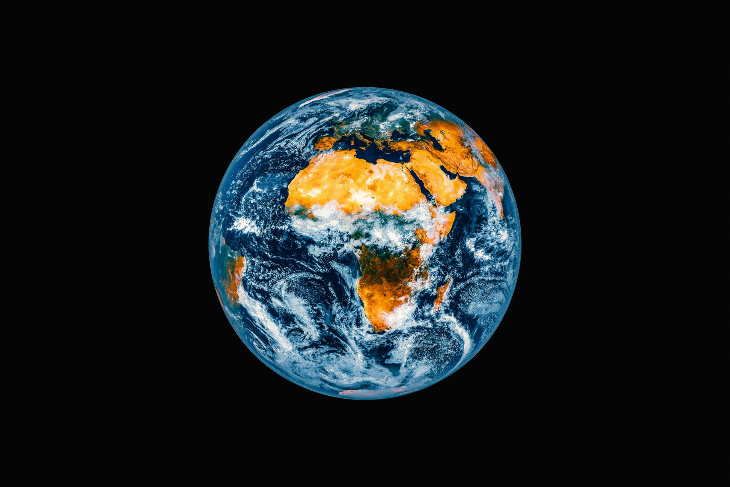
Earth’s Ancient Landscape: A Glimpse into the Past
The Earth, a planet of ceaseless transformation, harbors secrets etched not in written histories or crumbling ruins, but in the very fabric of its primordial terrains. For eons, vast swathes of our planet’s surface have been hidden from view, buried beneath layers of sediment, volcanic rock, and, most remarkably, immense sheets of ice. Recent scientific endeavors, employing cutting-edge technology, have begun to peel back these ancient shrouds, offering an unprecedented glimpse into worlds long vanished, and fundamentally reshaping our understanding of Earth’s evolutionary journey. These discoveries are not mere academic curiosities; they are windows into climates vastly different from our own, migrations of ancient life, and the profound, slow-motion ballet of geology that has shaped the world we inhabit.
The icy expanse of Antarctica, often perceived as a desolate and inert realm, is now revealing itself to be a repository of one of the most significant archaeological finds in geological history. Beneath the colossal ice sheets of Wilkes Land, scientists have uncovered a vast, intricate tapestry of a landscape that predates the continent’s deep freeze by tens of millions of years. This revelation is not merely a scattering of ancient rocks; it is the unearthing of a complete paleo-ecosystem, a snapshot frozen in time, offering a crucial insight into Antarctica’s vibrant past.
A River-Carved System Revealed
At its core, the discovery is of a sprawling, river-carved landscape, a veritable ghost of terrains past. Covering an area of some 32,000 square kilometers, roughly the size of Belgium, this ancient terrain lay entombed beneath approximately two kilometers of ice. The sheer scale of this subglacial discovery is breathtaking, suggesting a formerly dynamic and water-rich environment on a continent now synonymous with frozen aridity.
The Immense Scale of Subglacial Topography
The sheer magnitude of the unearthed landscape underscores the power of geological processes over vast timescales. The intricate network of valleys and channels etched into the bedrock speaks of a robust hydrological system, comparable in its complexity to many modern river basins. This is not the localized erosion of a temporary meltwater stream, but the patient, persistent work of rivers shaping the land over millennia.
Estimating the Age of the Buried Terrain
The dating of this ancient landscape is a crucial element in understanding its significance. Scientific estimations place its formation and subsequent burial between 14 and 34 million years ago. This period is of immense interest because it coincided with a significantly warmer Earth, a stark contrast to the frigid conditions that ultimately encased this landscape.
The Pristine Nature of Preservation
One of the most astonishing aspects of this discovery is the pristine condition in which the ancient landscape has been preserved. The immense weight and insulating properties of the ice sheet have acted as a remarkably effective protective layer, shielding the terrain from the erosive forces of weather, wind, and human activity for an almost unimaginable span of time.
Ice as a Natural Time Capsule
The successful preservation of such a detailed topographical map beneath kilometers of ice challenges previous assumptions about the impermanence of surface features. It demonstrates that under ideal conditions, ice sheets can act as exceptional natural time capsules, locking away geological and even biological evidence for geological epochs.
Implications for Understanding Past Environments
The fidelity of this preserved landscape holds profound implications for understanding past environmental conditions. It allows scientists to reconstruct not only the topography but also the potential hydrological regime, suggesting a much more temperate and actively shaped continent than previously conceived for this era.
Thousands of years ago, Earth was a vastly different place, shaped by dramatic climate changes and the movement of tectonic plates. The polar regions, including Antarctica, were not always the icy landscapes we see today; they were once home to lush forests and diverse wildlife. For a deeper understanding of how these changes have influenced current geopolitical dynamics, you can explore the article on the geopolitical race for Antarctic resources at this link. This article delves into the implications of historical climate shifts and their impact on contemporary resource competition in the region.
Antarctica Before the Ice: A Realm of Forests and Rivers
The discovery in Wilkes Land paints a compelling picture of Antarctica not as the perpetually frozen desert we know today, but as a continent teeming with life, carved by rivers, and once home to vibrant ecosystems. This erased image of Antarctica fundamentally alters our perception of its geological and climatic history.
The Warmth of Ancient Antarctica
The age of the buried landscape, between 14 and 34 million years ago, is significant because it corresponds to a period when Earth’s average temperature was considerably warmer than it is now, estimated to be 3 to 7 degrees Celsius higher. This difference in global temperature would have had a profound impact on Antarctica’s climate and its ability to support life.
Evidence of a Temperate Climate
The presence of a substantial river system implies a climate that could sustain liquid water year-round, a characteristic of temperate or even sub-tropical regions. This is a far cry from the hyper-arid and intensely cold conditions that have dominated Antarctica for millions of years.
Antarctica as Part of Gondwana: A Continental Connection
The ancient landscape offers concrete evidence for Antarctica’s former existence as a verdant part of the supercontinent Gondwana. This massive landmass, which also included what are now South America, Africa, Australia, India, and the Arabian Peninsula, was a cradle of early life.
Forests, Rivers, and Wildlife in Primordial Antarctica
The unearthed terrain strongly suggests that Antarctica was not barren during this period but was characterized by lush forests and active waterways. The presence of such a thriving environment hints at a rich biodiversity, with wildlife that would have been adapted to these conditions.
Analogies to Modern South America
Interestingly, the paleo-environmental models suggest that the forests and rivers of ancient Antarctica may have resembled those found in modern South America. This similarity allows for valuable comparative studies, helping scientists to infer the types of flora and fauna that might have inhabited this lost continent.
Dinosaurs and Other Prehistoric Creatures
The broader context of Gondwana’s history is rich with evidence of dinosaurs. While direct fossil evidence from this specific Antarctic landscape is yet to be fully detailed, its position within a dinosaur-rich supercontinent makes it highly probable that these magnificent creatures also roamed Antarctica when it was a warmer, more hospitable land.
The Technological Arsenal Behind the Revelation

The unearthing of such a hidden world would have been impossible without the sophisticated technological advancements that characterize modern Earth science. The ability to peer through kilometers of solid ice and map intricate subterranean features is a testament to human ingenuity and our persistent drive to understand our planet.
Ice-Penetrating Radar: The Eyes Beneath the Ice
The primary tool that enabled this groundbreaking discovery is ice-penetrating radar. This non-invasive technology sends radio waves into the ice, which then reflect off the bedrock beneath. By analyzing the timing and characteristics of these returning signals, scientists can create detailed maps of the subglacial topography.
How Ice-Penetrating Radar Works
The radar works by transmitting electromagnetic pulses downwards. These pulses travel through the ice, and when they encounter a change in material – in this case, the ice-bedrock interface – a portion of the energy is reflected back to the radar antenna. The speed of radio waves in ice is well-known, allowing scientists to calculate the depth to the bedrock and, by surveying a large area, map out the shape of the land beneath.
Mapping the Unseen Landscape
The resolution and penetration depth of modern ice-penetrating radar systems are remarkable. They are capable of revealing features that are hundreds of meters to kilometers below the surface, making them indispensable for exploring subglacial environments that are otherwise completely inaccessible.
High-Resolution Satellite Imagery and Aerial Surveys
Complementing the radar data, high-resolution satellite imagery and aerial surveys provide crucial contextual information. These technologies allow for the observation of surface features, ice flow dynamics, and the general geological setting of the region.
Utilizing Remote Sensing Technologies
Remote sensing technologies, such as those employed by satellites like RADARSAT, play a vital role. They can provide broad-scale overviews of the Antarctic continent and help to identify areas of particular geological interest where more targeted investigations can be conducted.
Advanced Data Processing and Visualization
The sheer volume of data collected by these technologies necessitates advanced processing and visualization techniques. Sophisticated software and algorithms are employed to transform raw radar signals and satellite images into comprehensible topographical maps and 3D models, allowing scientists to “see” the hidden landscape.
Significance for Evolutionary History and Climate Change

The discoveries in Antarctica and elsewhere offer more than just a fascinating look into the deep past; they are critical for understanding the long-term processes of Earth’s evolution and its capacity to respond to dramatic climatic shifts, providing invaluable data for predicting future climate scenarios.
Understanding Earth’s Response to Extreme Climate Shifts
The preservation of a temperate landscape beneath ice for tens of millions of years is a powerful illustration of how Earth’s surface can react to profound changes in global climate. The transition from a forested Gondwana to a frozen desert in Antarctica is a stark example of a planet undergoing a significant climate overhaul.
The Transformation from Gondwana to a Frozen Desert
Tracing this transformation helps scientists to understand the tipping points and feedback loops that drive major climatic shifts. It provides a historical laboratory for studying the mechanisms by which continents can become glaciated and the long-term consequences of such events.
Pre-Human Climate Change as a Benchmark
Studying climate change that occurred long before human emergence is crucial because it removes anthropogenic factors from the equation. This allows for a purer understanding of natural climate variability and the Earth system’s response to purely environmental drivers, offering a baseline against which current human-induced changes can be assessed.
Evidence of Dynamic Planetary Surface Processes
These discoveries underscore that Earth’s surface is not static but is a dynamic entity constantly shaped by geological forces and climatic influences. The revelation of ancient river systems beneath ice highlights the slow but powerful forces that sculpt our planet over geological timescales.
The Interplay of Geology and Climate
The findings emphasize the intricate interplay between geological processes, such as continental drift and mountain building, and climatic patterns. Antarctica’s journey from a temperate landmass to a glacial continent is a prime example of this complex relationship.
Reshaping Our Understanding of Planetary Evolution
Collectively, these discoveries are reshaping our understanding of planetary evolution. They demonstrate that many of Earth’s most dramatic transformations and lost environments are not irretrievably gone but are, in some cases, preserved beneath our feet or under vast ice sheets, waiting to be revealed.
Exploring the ancient landscapes of our planet reveals a fascinating glimpse into what Earth looked like thousands of years ago. From vast ice sheets to lush forests, the environment has undergone dramatic transformations. For a deeper understanding of how revolutionary technological breakthroughs are reshaping our perception of history, you can read more in this insightful article. Discover how these advancements are changing the way we interpret our past by visiting this link.
Broader Discoveries: A Tapestry of Ancient Worlds
| Time Period | Atmosphere | Climate | Landmasses |
|---|---|---|---|
| Paleolithic Era (2.6 million years ago – 10,000 BCE) | High levels of carbon dioxide and methane | Varied from ice ages to warm periods | Continents in different positions due to plate tectonics |
| Mesozoic Era (252 million years ago – 66 million years ago) | High oxygen levels and lower carbon dioxide | Warm and tropical climate | Supercontinent Pangaea began to break apart |
| Pleistocene Epoch (2.6 million years ago – 11,700 years ago) | Fluctuating levels of carbon dioxide and methane | Ice ages with glacial periods | Continents in similar positions to today |
The subglacial Antarctic landscape is not an isolated revelation; it is part of a broader scientific endeavor to reconstruct Earth’s deep history through a variety of innovative methods and discoveries. These complementary findings weave a richer, more detailed tapestry of our planet’s past.
The “Cosmic Clock” of River Evolution in Australia
In Australia, scientists have employed a remarkable technique to decode the ancient history of rivers and coastlines. By analyzing tiny, resilient crystals called zircons, they can effectively use them as a “cosmic clock” to date and trace the evolution of these landforms over billions of years.
Zircon Dating: A Window into Deep Time
Zircons are incredibly durable minerals that form within igneous rocks. They contain trace amounts of uranium, which decays into lead at a known, constant rate. By measuring the ratio of uranium to lead within a zircon crystal, scientists can determine its age with extraordinary accuracy. Applied to ancient river sediments, this unlocks a timeline of erosional and depositional processes stretching back to the earliest chapters of Earth’s history.
Reconstructing Australia’s Ancient Waterways
This “cosmic clock” approach has allowed researchers to reconstruct the complex evolutionary pathways of Australian river systems, revealing how they have responded to tectonic shifts, climate changes, and the gradual uplift and erosion of the continent over geological eons.
Digital Reconstruction of Supercontinents with GPlates
The field of paleogeography has been revolutionized by software like GPlates. This advanced modeling tool allows scientists to reconstruct and visualize the movement of tectonic plates and the configuration of continents over vast geological timescales, including the formation and breakup of supercontinents.
Visualizing Tectonic Plate Movement
GPlates enables researchers to digitally assemble the Earth’s continents as they were millions and even billions of years ago. By inputting data on plate boundaries, spreading rates, and subduction zones, the software can accurately model the past positions of landmasses.
Mapping Earth’s History Back to Rodinia
This powerful software has been instrumental in mapping Earth’s history back to the era of supercontinent Rodinia, which existed approximately 1 billion years ago. This allows for an unprecedented understanding of global geological processes, including the distribution of ancient oceans, mountain ranges, and potential habitats across the globe.
Confirmation and Refinement of Antarctic Landscape Mapping
The findings regarding the 34-million-year-old landscapes in Antarctica, particularly those published in journals like Nature Communications, serve to validate and refine our understanding of these subglacial environments. Peer-reviewed publication ensures that these discoveries are subjected to rigorous scientific scrutiny and contribute to a growing, consensus-based body of knowledge.
The Importance of Peer-Reviewed Research
The confirmation of these discoveries through rigorous scientific publication is essential for building a robust scientific understanding. It allows for the dissemination of findings to the wider scientific community, fostering further research and the refinement of existing theories.
A Growing Picture of Earth’s Past
These varied approaches – from radar mapping beneath ice to dating microscopic crystals and digitally reconstructing ancient continents – are not disparate efforts. They are converging to create a more comprehensive and dynamic picture of Earth’s distant past, revealing lost worlds and the profound forces that have shaped our planet. Each discovery, from the frozen whispers of Antarctica to the ancient riverbeds of Australia, adds another vital piece to the grand mosaic of our planet’s history, reminding us that the Earth beneath our feet holds stories far older and more extraordinary than we can often imagine.

The Sahara Won’t Stay a Desert Forever
FAQs
1. What did Earth look like thousands of years ago?
Thousands of years ago, Earth looked very different from how it does today. The continents were in different positions due to the movement of tectonic plates, and the climate and ecosystems were also different.
2. What were the continents like thousands of years ago?
Thousands of years ago, the continents were in different positions than they are today. For example, during the last ice age, sea levels were lower and land bridges connected some continents, allowing for the migration of early humans and animals.
3. How was the climate different thousands of years ago?
Thousands of years ago, the climate was different due to natural variations and changes in the Earth’s orbit and tilt. For example, during the last ice age, much of the northern hemisphere was covered in ice, leading to lower global temperatures.
4. What were the ecosystems like thousands of years ago?
Thousands of years ago, the ecosystems were different from what we see today. There were different species of plants and animals, and the distribution of habitats and ecosystems was influenced by the changing climate and geography.
5. How do scientists study what Earth looked like thousands of years ago?
Scientists study what Earth looked like thousands of years ago through various methods, including analyzing fossil records, studying ancient climate indicators like ice cores and tree rings, and using geological evidence to reconstruct past environments and landscapes.