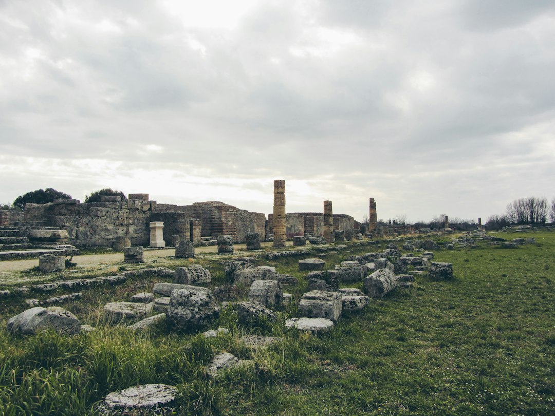
The Roman Empire, a civilization that left an indelible mark on the landscape of Europe, is perhaps most enduringly represented by its vast network of roads. These arteries of stone and earth connected cities, facilitated trade, and allowed legions to march with unprecedented speed, fundamentally shaping the trajectory of Western civilization. For centuries, these routes have been a subject of scholarly fascination and a source of inspiration for explorers. Now, a groundbreaking digital tool is bringing this ancient infrastructure to life in a way never before possible: the interactive map of Roman roads across Europe. This innovative platform allows users to not only visualize the sheer scale of Roman engineering but also to delve into the specifics of individual routes, understand their historical context, and appreciate their lasting impact.
Unveiling the Roman Road Network
The creation and maintenance of Roman roads was a monumental undertaking, a testament to the empire’s organizational prowess and engineering genius. From the rugged terrain of Britain to the sun-drenched coasts of North Africa, the Romans constructed over 400,000 kilometers of paved roads, with an estimated 80,500 kilometers being built to a high standard. These were not mere dirt tracks; they were sophisticated constructions designed for durability and efficient travel. The meticulous planning, the standardized construction techniques, and the sheer dedication required to build and maintain such an extensive network are awe-inspiring. The interactive map serves as a digital museum, a dynamic archive that showcases this unparalleled achievement, allowing anyone with an internet connection to trace the paths of conquest, commerce, and communication that once defined the Roman world. It transforms abstract historical accounts into tangible, navigable landscapes, inviting a new generation of explorers to engage with the past.
The Strategic Importance of the Viae Romanae
The primary impetus behind the construction of these roads was military. The famed Roman legions, the backbone of the empire’s military might, required rapid deployment across vast distances to quell rebellions, defend borders, and expand Roman influence. The famous adage, “All roads lead to Rome,” while a popular simplification, held a kernel of truth in its acknowledgment of the strategic centrality of the capital. The roads facilitated the swift movement of troops, supplies, and information, enabling Rome to project its power effectively across its sprawling territories. Beyond military concerns, the roads were crucial for the economic integration of the empire. They opened up new markets, stimulated trade in agricultural goods, luxury items, and raw materials, and fostered the growth of prosperous towns and cities along their routes. This economic connectivity was a vital component of Romanization, spreading Roman culture, language, and administration throughout the conquered lands.
Engineering Marvels of Antiquity
The construction of Roman roads was a sophisticated engineering feat. The Romans understood the principles of drainage, load-bearing, and durability. They typically employed a multi-layered construction method, starting with a foundation of large stones, followed by layers of smaller stones, gravel, and finally a paved surface of closely fitted flagstones or sometimes a compacted gravel surface. The roads were often cambered, meaning they were slightly curved in the middle, to allow rainwater to run off effectively, preventing erosion and waterlogging. In some cases, deep ditches were dug on either side to further aid drainage. Bridges were constructed with impressive arches, and tunnels were bored through mountains, showcasing a remarkable command of civil engineering. The interactive map provides an opportunity to see the sheer extent of this engineering, highlighting sections where terrain presented significant challenges and how the Romans overcame them with ingenuity.
For those interested in exploring the intricate network of Roman roads and their significance in ancient transportation, you may find the article on the lessons from the ancient climate crisis particularly enlightening. It provides a historical perspective that complements the interactive view of Roman roads, shedding light on how these routes influenced trade, communication, and even responses to environmental challenges. To read more, visit the article here: Lessons from Ancient Climate Crisis: A Historical Perspective.
Navigating the Digital Roman Landscape
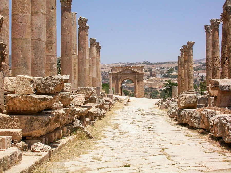
The interactive map is more than just a static visualization; it is a dynamic portal that invites exploration and discovery. Users can zoom in and out, pan across continents, and click on specific road segments to access detailed information. This level of interactivity transforms the study of Roman roads from a passive reading experience into an active, engaging journey. The map utilizes modern Geographic Information System (GIS) technology, overlaying historical road data onto contemporary satellite imagery and topographical maps. This allows for a direct comparison between the ancient routes and the modern landscape, revealing how many of these Roman pathways have persisted, albeit in altered forms, as modern roads, footpaths, or even as faint traces in the agricultural fields.
Layers of Information and Historical Context
One of the most compelling aspects of the interactive map is its ability to present layers of information. Beyond simply showing the lines of the roads, the platform integrates historical data, archaeological findings, and scholarly interpretations. Users can learn about the original names of the roads, such as the Via Appia or the Via Domitia, their construction dates, and the major settlements they connected. Information on important milestones, waystations, and fortresses located along the routes is also often included. For those interested in the human element, the map might feature details about the types of travelers who used these roads – soldiers, merchants, pilgrims, or imperial officials – and the stories associated with these journeys. This layered approach provides a rich tapestry of historical context, transforming the map from a geographical tool into a historical narrative.
Tools for Exploration and Research
The interactive map is equipped with a suite of tools designed to facilitate both casual exploration and more in-depth research. Users can search for specific roads by name or by region, allowing them to focus their investigations. Filters can be applied to highlight roads of particular significance, such as those built during specific imperial periods or those that served a particular strategic purpose. The ability to download data in various formats is also a valuable feature for academics and enthusiasts who wish to conduct their own analyses or create personalized maps. Furthermore, many interactive maps of this nature encourage user contributions, allowing for the addition of new findings, photographs, or local historical knowledge, fostering a collaborative approach to preserving and understanding this ancient heritage.
Case Studies: Iconic Roman Routes
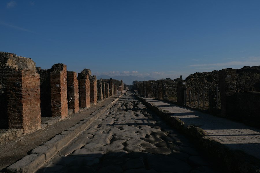
To truly appreciate the scope and significance of the Roman road network, it is essential to examine specific examples. The interactive map allows for detailed exploration of these iconic routes, revealing the engineering challenges overcome, the strategic objectives met, and the enduring legacy of each pathway. From the legendary Via Appia connecting Rome to Brundisium, a crucial port for trade with the East, to the intricate network crisscrossing Gaul, each road tells a unique story of Roman ambition and achievement. These case studies serve as tangible illustrations of the broader impact of Roman infrastructure.
The Via Appia: Queen of Roads
The Via Appia, often referred to as the “Regina Viarum” (Queen of Roads), is perhaps the most famous Roman road. Begun in 312 BCE, it stretched from Rome to Brundisium (modern-day Brindisi) on the Adriatic coast, a vital gateway for travel and trade with Greece and the East. Its construction was a monumental undertaking, involving the paving of a significant portion of its length with large, tightly fitted polygonal stones. Sections of the Via Appia remain remarkably well-preserved, offering a vivid glimpse into Roman engineering and the sheer scale of their ambition. The interactive map allows users to trace its entire course, view images of surviving sections, and learn about the historical events that unfolded along its path, including gladiatorial contests and important military campaigns.
The Antonine Wall and Hadrian’s Wall: Northern Frontiers
In the northern reaches of the Roman Empire, roads played a crucial role in defense and administration. The Antonine Wall in Scotland and Hadrian’s Wall in northern England were not just defensive fortifications but also served as the backbone for a supporting road network. These roads facilitated the rapid movement of troops and supplies to the frontier, enabling Roman forces to patrol and respond to threats from tribes to the north. The interactive map can highlight these frontier roads, demonstrating how Roman infrastructure was adapted to the specific needs and challenges of different regions. Examining these routes provides insight into the Roman military strategy and their efforts to secure the vast expanse of their empire.
Roads of Roman Britain: Connecting an Island Province
Beyond the northern frontier, Roman roads were instrumental in integrating Britain into the empire. Major routes like Watling Street, Ermine Street, and Fosse Way connected key Roman settlements, forts, and ports. These roads facilitated the exploitation of Britain’s resources, including minerals and agricultural produce, and allowed for the efficient administration of the province. The interactive map can showcase the density of the Roman road network in Britain, demonstrating how thoroughly the Romans surveyed and engineered the landscape to their needs. Many of these ancient routes still follow the same alignment as modern roads, a testament to the enduring practicality of Roman planning.
The Enduring Legacy of Roman Roads
The impact of Roman roads extends far beyond their initial construction and use. These ancient arteries have had a profound and lasting influence on the development of Europe, shaping settlement patterns, influencing trade routes, and even impacting the very topology of the continent. Many modern roads are built directly upon or alongside their Roman predecessors, a testament to the strategic brilliance of their original design. The interactive map offers a unique perspective on this enduring legacy, allowing users to see how these ancient pathways have been incorporated into the fabric of contemporary Europe.
Traces in the Modern Landscape
The interactive map vividly illustrates how Roman roads have imprinted themselves on the modern landscape. While many have been subsumed by newer infrastructure, their alignments can often still be discerned in aerial photography, land surveys, and even in the patterns of fields and villages. The map can highlight these connections, showing how a Roman road might continue as a major highway today, or how a medieval village might have sprung up at a Roman crossroads. This continuity highlights the deep historical roots of many European settlements and transportation networks, demonstrating that the Romans laid the groundwork for much of the infrastructure we use today.
Cultural and Economic Ripples Through Time
The economic and cultural influence of Roman roads cannot be overstated. They facilitated the spread of Roman culture, language, and administrative practices, contributing to the process of Romanization. The movement of people and goods along these routes fostered the growth of towns and cities, many of which remain important centers today. The interactive map, by revealing the connections and networks, helps to illustrate how these roads were not just physical conduits but also conduits for ideas, innovations, and social change. They were the arteries through which the lifeblood of the empire flowed, shaping the economic and cultural landscape of Europe for centuries to come.
Exploring the intricate network of Roman roads can provide fascinating insights into the engineering prowess of ancient civilizations. For those interested in understanding how geography influenced the development of infrastructure, a related article discusses the diverse terrain of Afghanistan and its impact on transportation and connectivity. You can read more about this topic in the article here. This connection highlights the importance of geography in shaping both ancient and modern road systems.
Future Directions and Educational Potential
| Metric | Description | Value / Detail |
|---|---|---|
| Total Length of Roman Roads | Estimated total length of Roman roads across the empire | Approx. 400,000 km (250,000 miles) |
| Number of Major Roads | Count of primary Roman roads featured in the interactive map | Over 29 major roads |
| Interactive Features | Types of user interactions available | Zoom, Pan, Click for Road Details, Search by Region |
| Historical Period Covered | Timeframe of the Roman roads shown | 27 BC to 476 AD (Roman Empire period) |
| Regions Covered | Geographical areas included in the map | Europe, North Africa, Middle East |
| Road Surface Types | Types of road construction materials indicated | Stone-paved, Gravel, Dirt |
| Average Road Width | Typical width of Roman roads shown | 4.1 to 6 meters (13 to 20 feet) |
| Data Sources | Primary sources used for mapping | Ancient texts, Archaeological surveys, Satellite imagery |
| User Accessibility | Platforms supported for the interactive map | Desktop browsers, Mobile devices |
The interactive map of Roman roads is not merely a historical artifact; it is a dynamic and evolving tool with immense potential for future development and educational outreach. As technology advances and more archaeological data becomes available, these digital platforms will become even richer and more comprehensive. The potential for engaging new audiences with history and archaeology is significant, making the past accessible and relatable to a global audience.
Ongoing Research and Data Integration
The field of Roman road studies is constantly evolving, with new discoveries being made through archaeological excavation and remote sensing techniques. The interactive map serves as an ideal platform for integrating these ongoing research findings. As new segments of roads are identified, or as new historical interpretations emerge, this data can be incorporated into the map, making it a living repository of knowledge. The collaborative nature of many such projects also allows for contributions from scholars and enthusiasts worldwide, fostering a shared understanding of this vast historical subject.
Engaging the Next Generation of Historians and Explorers
The interactive map offers a powerful educational tool, capable of captivating students and sparking their curiosity about the Roman world. Instead of simply reading about Roman roads in textbooks, learners can virtually walk along them, explore their construction, and understand their strategic and economic significance in an engaging and immersive way. This hands-on approach to history can foster a deeper appreciation for the ingenuity of ancient civilizations and the enduring impact of their achievements. Furthermore, by encouraging exploration and discovery, these digital tools can inspire the next generation of historians, archaeologists, and explorers to delve deeper into the mysteries of the past. The interactive map is a gateway, inviting everyone to step back in time and trace the paths that shaped the world we inhabit today.

The 2.7% Statistic That Terrifies Roman Historians
FAQs
Can I zoom in and out on the interactive map of Roman roads?
Yes, you can zoom in and out on the interactive map of Roman roads to get a closer look at specific areas or to see the bigger picture of the road network.
Is it possible to click on individual roads to see more information about them?
Yes, you can click on individual roads on the interactive map to access more information such as the name of the road, its length, the cities it connected, and any historical significance.
Are there different colors or symbols used to represent different types of Roman roads on the map?
Yes, different colors or symbols are often used to represent different types of Roman roads on the interactive map. For example, major highways may be shown in red while smaller local roads may be shown in yellow.
Can I search for a specific Roman road or city on the interactive map?
Yes, you can typically search for a specific Roman road or city on the interactive map by using a search bar or a search function. This allows you to quickly locate the road or city you are interested in exploring.
Is the interactive map of Roman roads based on historical research and archaeological evidence?
Yes, the interactive map of Roman roads is typically based on historical research, archaeological evidence, and scholarly sources to provide an accurate representation of the extensive road network built by the Romans.