
The Nazca Desert in southern Peru, a vast expanse of arid land, holds secrets that have captivated imaginations for centuries. Best known for the colossal geoglyphs etched into its surface – the enigmatic Nazca Lines – this region also whispers tales of a sophisticated ancient civilization that once thrived amidst its harsh beauty. Beyond the aerial spectacle of the giant figures, a deeper understanding of the Nazca people and their world can be unearthed by exploring their walking routes, the pathways that connected their settlements, their sacred sites, and perhaps, their spiritual journeys. These ancient arteries, often overlooked in favor of the sky-high artistry, offer a tangible link to the daily lives, beliefs, and agricultural practices of those who created these enduring marvels.
Tracing the Footsteps of the Nazca People
The Nazca culture, flourishing roughly between 100 BCE and 800 CE, developed a complex society in a challenging environment. Their mastery of irrigation and agriculture allowed them to sustain themselves in the desert, and their artistic expressions, particularly the geoglyphs, remain a testament to their ingenuity and worldview. While the purpose and creation of the Nazca Lines continue to be debated, focusing on the terrestrial infrastructure – the networks of paths and roads that crisscrossed the Nazca pampa – provides a crucial piece of the puzzle. These routes were not merely functional connectors but likely imbued with cultural and religious significance, serving as conduits for processions, trade, and communal movement.
The Importance of Ground-Level Exploration
Much of the research and popular fascination surrounding the Nazca Lines has been from an aerial perspective, thanks to early aviation and subsequent satellite imagery. While this vantage point is essential for appreciating the scale and design of the geoglyphs, it can inadvertently de-emphasize the human experience of navigating these landscapes. Walking the routes, as the Nazca people themselves would have done, offers a visceral connection to their world. It allows for an appreciation of the terrain, the effort involved in traversing the desert, and the subtle details that might be lost from above. Archaeologists and intrepid explorers have begun to meticulously map and study these ground-level pathways, revealing a more nuanced picture of Nazca life.
Uncovering the Network of Paths
The Nazca pampa is crisscrossed by a remarkable network of ancient pathways. These routes are not always clearly defined in the modern landscape, often appearing as faint depressions in the desert floor, lines of compacted earth, or alignments of stones. They connect various archaeological sites, including ancient settlements, ceremonial centers, and the areas where the geoglyphs are concentrated. The systematic investigation of these paths has revealed a remarkable level of planning and organization. Some routes are wide and straight, suggesting they were designed for significant movement, while others are narrower and more winding, possibly serving more specialized purposes.
The ancient Nazca civilization is renowned for its mysterious geoglyphs, including the intricate walking routes that connect various sites across the arid landscape of southern Peru. These pathways not only served as routes for ceremonial processions but also played a crucial role in resource management and social organization. For a deeper understanding of how ancient cultures maximized their resources, you can explore a related article on innovative technologies in resource utilization, which can be found here: Maximizing Resources with ISRU Technology. This article provides insights into how ancient practices can inform modern approaches to sustainability and resource management.
The Function and Purpose of Nazca Pathways
The ancient Nazca walking routes served a multitude of purposes, reflecting the multifaceted needs of their society. They were the arteries of daily life, facilitating essential activities such as agriculture, trade, and social interaction. Beyond the practical, however, these paths likely played a significant role in the spiritual and ritualistic practices of the Nazca people, connecting them to their deities and the cosmos.
Facilitating Agricultural and Economic Activities
The Nazca people were renowned for their sophisticated agricultural techniques, particularly their ingenious system of underground aqueducts (puquios) that brought water from the foothills to their settlements and fields. The walking routes would have been crucial for accessing and maintaining these vital water sources, as well as for transporting agricultural produce to markets or storage facilities. They would have also facilitated the movement of goods and raw materials for crafts, such as pottery and textiles, which were highly developed aspects of Nazca culture. Trade networks likely extended beyond the immediate Nazca region, with these pathways serving as crucial links in a broader economic system.
Connecting Settlements and Ceremonial Centers
The Nazca culture was organized into distinct settlements, and the walking routes provided the essential infrastructure for communication and travel between these communities. They also linked these settlements to significant ceremonial sites, places of worship, and burial grounds. This connectivity would have been vital for maintaining social cohesion, facilitating religious observances, and commemorating ancestors. The strategic placement of these routes, often leading to prominent features of the landscape or alignments with celestial events, suggests a deliberate and purposeful design.
Spiritual Journeys and Ritualistic Significance
Many researchers hypothesize that the Nazca walking routes held profound spiritual significance. They may have served as pilgrimage routes, guiding devotees to sacred sites where rituals were performed, offerings were made, and communication with the divine was sought. The act of walking along these designated paths could have been a form of spiritual discipline, a meditative practice that enhanced the connection to the sacred. The alignment of some routes with celestial events, such as the solstices or equinoxes, further supports the idea of their use in astronomical observations and ritualistic ceremonies tied to the cycles of the sun, moon, and stars.
The Construction and Characteristics of the Routes
The creation of the Nazca walking routes involved a range of techniques, adapted to the desert environment and the available resources. The apparent simplicity of their construction belies the careful planning and labor that went into their establishment and maintenance. Understanding these methods provides further insight into the practical skills and cultural priorities of the Nazca people.
Methods of Path Creation
The most common method of creating these pathways involved clearing away the darker, iron-oxide-rich desert varnish from the surface of the pampa. This exposed the lighter-colored soil beneath, creating a visible line or band against the darker desert floor. This technique, while seemingly straightforward, required significant effort to delineate vast networks of paths. In other instances, stones were used to mark the edges of routes, creating more substantial and durable pathways. The selection and placement of these stones, often in specific patterns or alignments, suggest a deliberate and symbolic aspect to their construction.
Evidence of Maintenance and Modification
The continuous use of these routes over centuries would have necessitated their ongoing maintenance. Evidence of repeated clearing and re-establishing of the paths suggests a commitment to preserving these vital arteries. Furthermore, some routes show signs of modification and adaptation over time, indicating that their function or form may have evolved alongside the changing needs and beliefs of the Nazca people. This dynamic nature of the pathways reflects the living and evolving character of the culture that created them.
Navigational Aids and Markers
While the geoglyphs themselves are massive navigational aids visible from the air, the walking routes likely incorporated more subtle markers for terrestrial navigation. These could have included specific rock formations, distinctive plant life (though scarce in this arid region), or precisely placed stones. The alignment of routes with natural features or celestial phenomena would also have served as a form of navigation, guiding travelers across the vast and often featureless desert landscape. The careful placement of certain geoglyphs along the edges of some routes further suggests an intentional integration of ground and aerial markers.
The Interplay Between Geoglyphs and Walking Routes
The Nazca Lines and the walking routes are not independent entities but are deeply interconnected, forming a complex system of communication and cultural expression. While the geoglyphs are the most iconic legacy of the Nazca, the pathways provide the context for their creation and intended use, suggesting a deliberate synergy between terrestrial and aerial elements.
Geoglyphs as Destinations and Markers
Many of the Nazca geoglyphs are situated along or in close proximity to the walking routes. This spatial relationship suggests that the geoglyphs may have served as destinations for those traversing the paths, or as markers that guided travelers along their journeys. Imagine walking along a designated route and encountering a colossal hummingbird or a stylized monkey etched into the ground – these monumental artworks would have undoubtedly been awe-inspiring and served as clear indicators of proximity to sacred or important locations.
Routes Leading to and from Geoglyphs
Archaeological investigations have revealed that numerous walking routes directly lead to or emanate from specific geoglyphs or clusters of geoglyphs. This direct connection strongly implies that the creation and interpretation of the geoglyphs were intrinsically linked to the act of walking and traversing the landscape. The paths would have provided the means for people to reach these intricate designs, to observe them from the ground, and perhaps to perform rituals or ceremonies in their presence.
A Unified System of Sacred Landscape
The integration of walking routes and geoglyphs suggests a comprehensive approach to creating a sacred landscape. The Nazca people were not simply drawing pictures on the ground; they were meticulously designing a multidimensional experience that involved both movement through space and contemplation of monumental art. The paths provided the physical and spiritual conduits, while the geoglyphs offered focal points for reverence, communication, and connection to the cosmos. This holistic perspective challenges the notion of the Nazca Lines as mere artistic displays, revealing them as integral components of a complex religious and cultural system.
The ancient Nazca civilization is renowned for its mysterious geoglyphs, including the famous walking routes that were intricately designed into the landscape. These drawings, which can only be fully appreciated from the air, have sparked numerous theories about their purpose, ranging from astronomical calendars to ritual pathways. For those interested in understanding how ancient societies managed resources during crises, a fascinating article explores the dynamics of power and privilege during famines, shedding light on how elite control influenced survival strategies. You can read more about this intriguing topic in the article on elite control during ancient famine here.
Modern Exploration and Preservation Challenges
| Route Name | Length (km) | Estimated Age (years) | Primary Purpose | Notable Features |
|---|---|---|---|---|
| Palpa to Nazca Route | 25 | 1500-2000 | Trade and pilgrimage | Geoglyphs depicting animals and plants |
| Chauchilla Cemetery Path | 10 | 1800-2200 | Funerary procession | Lines intersecting with burial sites |
| Maria Reiche Route | 15 | 1200-1700 | Scientific observation and mapping | Aligned with astronomical markers |
| Puquios Access Route | 8 | 2000+ | Water access and maintenance | Connected to ancient aqueduct systems |
The exploration and preservation of the ancient Nazca walking routes present unique challenges and opportunities for contemporary researchers and heritage stewards. The delicate nature of the desert environment and the subtle traces of human activity require meticulous methods and a commitment to responsible tourism.
Archaeological Research and Mapping Techniques
Modern archaeological techniques, including Geographic Information Systems (GIS), satellite imagery analysis, and ground-penetrating radar, are proving invaluable in mapping and understanding the extent and complexity of the Nazca walking routes. These technologies allow for the non-intrusive identification and documentation of ancient pathways, even those that are barely discernible on the surface. Ground surveys, conducted by archaeologists and geographers, are crucial for verifying findings and gathering detailed information about the construction and context of these routes.
The Impact of Tourism and Human Activity
The growing popularity of the Nazca Lines as a tourist destination poses a significant threat to the preservation of the ancient walking routes. Unregulated foot traffic can easily damage or erase these delicate archaeological features. The construction of infrastructure for tourism, if not carefully planned, can also have a detrimental impact on the integrity of the landscape. Implementing strict guidelines for access, developing designated walking trails, and educating visitors about the fragility of these ancient sites are crucial steps in mitigating these risks.
The Future of Research and Conservation
The ongoing exploration of Nazca walking routes promises to yield further insights into this fascinating ancient civilization. Future research will likely focus on understanding the temporal evolution of these pathways, their specific connections to various Nazca sites, and their potential use in astronomical and calendrical practices. Collaborative efforts between archaeologists, geographers, and local communities are essential for developing effective conservation strategies that protect these invaluable heritage sites for future generations. The ancient Nazca walking routes, though less visually dramatic than their aerial counterparts, hold the key to unlocking a deeper and more profound understanding of the people who walked them and the enigmatic drawings they created.
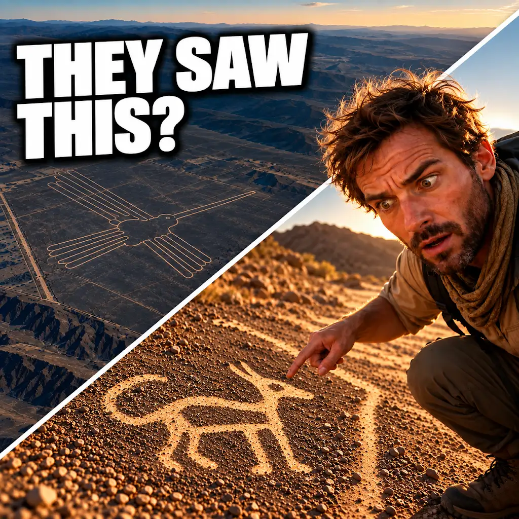
AI Found New Nazca Drawings—Could People See Them from the Ground?
FAQs
What are the Nazca walking routes drawings?
The Nazca walking routes drawings are a series of ancient geoglyphs located in the Nazca Desert in southern Peru. These geoglyphs are large-scale designs created by removing rocks and earth to reveal the lighter-colored ground beneath.
When were the Nazca walking routes drawings created?
The Nazca walking routes drawings were created by the Nazca culture between 500 BCE and 500 CE. These geoglyphs are estimated to be over 2,000 years old.
How were the Nazca walking routes drawings made?
The Nazca walking routes drawings were made by removing the dark-colored rocks and earth on the surface of the desert to reveal the lighter-colored ground beneath. This process created the intricate designs that can only be fully appreciated from above.
What is the purpose of the Nazca walking routes drawings?
The purpose of the Nazca walking routes drawings is still a topic of debate among archaeologists and historians. Some theories suggest that they served as religious or ceremonial sites, while others propose that they were used for astronomical or agricultural purposes.
Can visitors see the Nazca walking routes drawings today?
Yes, visitors can see the Nazca walking routes drawings today by taking a flight over the Nazca Desert. Viewing the geoglyphs from the air provides the best vantage point to appreciate the intricate designs and patterns created by the Nazca culture.