
The whispers of wind across the moors and the silent grandeur of standing stones are more than just picturesque scenery; they are echoes from a time when Britain’s eastern edge was a vastly different place. Before the relentless advance of the North Sea reshaped the coastlines and drowned ancient pathways, a rich tapestry of human and natural history unfolded across a land barely recognizable to modern eyes. Exploring these ancient landscapes, particularly the regions now submerged or dramatically altered by the sea, offers a profound glimpse into a pre-historic Britain that existed long before the Roman legions, Anglo-Saxon migrations, or even the formation of the modern nation. This exploration delves into the geological forces that sculpted the land, the lives of the people who inhabited it, and the lost connections that once bound what are now separate islands.
The story of Britain’s ancient landscapes is inextricably linked to the dramatic geological events that shaped its coastline. For millennia, the landmass that is now Britain was part of a larger European continent, connected by land bridges that facilitated the movement of both peoples and wildlife. The North Sea, a relatively young feature in geological terms, is the product of powerful tectonic forces and the gradual inundation of land by rising sea levels. Understanding this process is fundamental to appreciating the lost landscapes and the evidence that remains.
The Last Glacial Maximum and the Great Drying
During the height of the Last Glacial Maximum, approximately 20,000 years ago, vast ice sheets covered much of northern Europe, including Britain. The immense weight of this ice significantly lowered sea levels globally, as water was locked up in ice. This period created the conditions for the existence of a vast land bridge, known as Doggerland, which connected Britain to mainland Europe. This was not a mere narrow strip of land, but a substantial territory that stretched across what is now the southern North Sea. It was a region of rivers, forests, and plains, supporting a diverse range of megafauna that no longer roam the British Isles.
The Meltwater Pulse and the Drowning of Doggerland
As the ice sheets began to retreat, the world experienced a dramatic rise in sea levels. This period, known as the Meltwater Pulse, saw significant influxes of water from melting glaciers. The low-lying areas that constituted Doggerland were particularly vulnerable to this rising tide. Gradually, and then with increasing rapidity, the North Sea began to reclaim the land. Archaeological and geological evidence suggests that the inundation was not a single catastrophic event, but a prolonged process over thousands of years, likely punctuated by major storm surges and tsunamis that accelerated the land loss.
Coastal Erosion and the Vanishing Frontiers
Beyond the dramatic drowning of Doggerland, Britain’s coastlines have always been dynamic environments. Erosion, driven by prevailing winds, tides, and wave action, has continuously reshaped the eastern and southern shores. This ongoing process has undoubtedly erased countless traces of ancient human activity, burying settlements, eroding prehistoric earthworks, and scattering artifacts into the ocean’s embrace. The tangible evidence of these lost coastlines is often fragmented, requiring sophisticated techniques to unearth its secrets.
In exploring the fascinating history of ancient innovations, one might find it intriguing to consider the technological advancements that predate modern Britain, particularly those that influenced naval warfare. An article that delves into such ancient inventions is titled “Archimedes’ Death Ray: Ancient Solar Weapon Explained,” which discusses the legendary device attributed to the Greek mathematician Archimedes. This piece highlights how ancient civilizations, through their ingenuity, laid the groundwork for future advancements in military technology. For more insights, you can read the article here: Archimedes’ Death Ray: Ancient Solar Weapon Explained.
Doggerland: The Lost Continent of the North Sea
Perhaps the most significant ‘ancient landscape’ lost to the North Sea is Doggerland. This submerged plain was not just a geographical feature but a vibrant ecosystem and a crucial corridor for human migration into Britain. Its study represents a frontier of archaeological and paleoenvironmental research, piecing together a lost world from scattered clues.
Evidence from the Seabed: Submerged Landscapes and Artifacts
The exploration of Doggerland relies heavily on underwater archaeology and geophysical surveys. Sonar mapping can reveal the topography of the submerged landscape, identifying ancient river channels, hills, and valleys. Dredging and trawling operations, though often destructive, have serendipitously brought to the surface a wealth of artifacts – flint tools, pottery fragments, and even preserved wooden structures – that provide direct evidence of human presence. These finds, often discovered by fishermen, are critical in reconstructing the timeline and nature of human habitation.
Paleontological Clues: Megafauna and Ancient Ecosystems
The fossil record from the North Sea seabed offers insights into the rich biodiversity that once thrived in Doggerland. Remains of mammoths, woolly rhinoceroses, giant deer, and aurochs have been recovered, painting a picture of a prehistoric ecosystem that could sustain such large herbivores. The presence of these animals indicates a landscape of open grasslands, interspersed with woodlands, a far cry from the often windswept coastlines of today. Paleoenvironmental studies of sediment cores also reveal pollen and plant remains, allowing scientists to reconstruct the vegetation and climate of Doggerland.
Reconstructing Human Migration Routes
The existence of Doggerland is paramount to understanding how early humans first populated Britain. It provided a land bridge for hunter-gatherer groups migrating from continental Europe during and after the last Ice Age. Archaeological sites on the surrounding coasts of Britain and mainland Europe, when viewed in the context of the submerged landmass, help to map potential migration routes and the timing of human arrival. The increasing sophistication of genetic studies further supports these theories, tracing ancient population movements.
Prehistoric Britain’s Eastern Frontiers: A Land Interrupted

Even on the parts of Britain that remain above water, the eastern and southern coastlines bear witness to a history profoundly shaped by the encroaching sea. From Neolithic farmers to Iron Age communities, their lives and landscapes were intimately connected to the proximity of the sea, a connection that would be irrevocably altered by the rising waters.
Neolithic Settlements and the Sea’s Bounty
The Neolithic period, marked by the adoption of agriculture, saw communities establishing settlements along the eastern coasts. These sites often exploited the resources of both land and sea. Evidence of shellfish middens, fishing implements, and proximity to fertile coastal plains suggests that the sea was a vital source of food and potentially a means of transport. Sites in East Anglia, Lincolnshire, and Yorkshire offer glimpses into these early agrarian societies, their lands perhaps extending further east than is now visible.
The Mystery of the Norfolk Coast Iceni and Roman Interactions
The Norfolk coast, now a dynamic and often eroding shoreline, was home to powerful Iron Age tribes such as the Iceni, famously led by Queen Boudica. Their territories, stretching inland from the coast, would have been influenced by coastal topography and access to maritime resources. The Roman conquest further altered the landscape, with the construction of defensive structures and ports. The gradual retreat of the coastline in certain areas might have impacted settlement patterns and defensive strategies over time, leaving behind fragmented archaeological evidence.
Coastal Defenses and the Shifting Sands of Time
Throughout the Iron Age and Roman periods, and continuing into later centuries, the construction of coastal defenses became increasingly important. Ditch-and-bank systems, hillforts positioned to overlook the sea, and later Roman fortifications all speak to a relationship with the ocean that involved both exploitation and defense. The strategic importance of coastal locations meant that communities were acutely aware of the sea’s power and its potential for invasion. Erosion and sea level rise over millennia have undoubtedly altered the original landscape upon which some of these defenses were built.
Archaeological Treasures Beneath the Waves and in the Mudflats
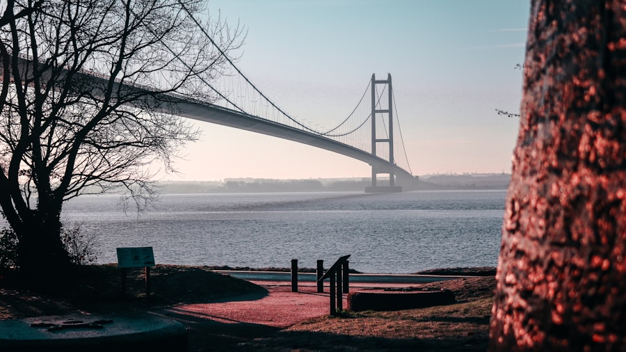
The submerged landscapes and altered coastlines are not sterile voids; they are repositories of an incredible wealth of archaeological material. The ongoing work of archaeologists, often in challenging conditions, is steadily revealing the secrets of these lost worlds.
Shipwrecks: Time Capsules of Maritime History
The North Sea is a notorious graveyard for ships, and its waters teem with shipwrecks spanning millennia. From Viking longships to Roman merchant vessels and later trading smacks, these wrecks are invaluable archaeological sites. They provide detailed insights into shipbuilding technology, trade routes, and the lives of seafarers. Underwater archaeologists meticulously document and recover artifacts from these sites, offering tangible links to past maritime activities. The preservation conditions in the seabed can be exceptional, preserving organic materials that would have long since decayed on land.
Fenland Archaeology: Preserving Wetlands and Their Secrets
The East Anglian Fens, once a vast expanse of wetlands, are now a landscape dramatically transformed by drainage. However, these wetlands, and the transitional zones between them and the coast, have proven to be exceptional environments for preserving organic remains. Archaeological discoveries in the Fens, such as the ‘Seahenge’ timber circle and numerous bog bodies, offer unparalleled insights into prehistoric rituals, burial practices, and daily life. The waterlogged conditions have preserved wood, leather, and even human flesh, providing details that would be lost in drier environments.
Coastal Erosion and the Rescue Archaeology Imperative
As coastlines continue to erode, archaeological sites are increasingly exposed and threatened. A critical aspect of modern archaeology is ‘rescue archaeology,’ a rapid response to sites discovered due to coastal erosion or development. This often involves painstaking work to record and recover artifacts before they are lost forever to the sea. The constant battle against erosion highlights the ephemeral nature of coastlines and the urgent need to document the past before it disappears.
Before the North Sea became a significant geographical feature, Britain had a rich history that intertwined with various ancient civilizations. An intriguing aspect of this history is the theory surrounding the lost continent of Antarctica, which suggests that ancient lands may have influenced early British societies. For those interested in exploring this fascinating connection further, you can read more about it in this article on the lost continent of Antarctica. This theory opens up discussions about how ancient landscapes might have shaped the cultural and historical development of regions like Britain.
The Enduring Legacy: What the Ancient Landscapes Tell Us Today
| Metrics | Data |
|---|---|
| Population | Estimated to be around 1 million people |
| Settlements | Consisted of small farming communities and tribal groups |
| Technology | Relied on primitive tools and weapons made of stone, bone, and wood |
| Trade | Engaged in limited trade with continental Europe |
| Religion | Practiced pagan beliefs and rituals |
Exploring Britain’s ancient landscapes before the North Sea is not merely an academic exercise; it offers profound lessons about human adaptation, the power of nature, and our place within the grand sweep of geological time. The lost world of Doggerland and the continually shifting eastern frontiers serve as powerful reminders of our planet’s dynamism.
Lessons in Adaptation and Resilience
The peoples of prehistoric Britain, and those who traversed Doggerland, were masters of adaptation. They navigated changing environments, exploited a variety of resources, and developed sophisticated technologies to survive. The evidence of their lives, whether in submerged settlements or coastal earthworks, speaks to a remarkable resilience in the face of environmental challenges, including the slow but inexorable rise of sea levels.
The Fragility of Our Present Landscapes
The story of the advancing North Sea is a stark reminder of the fragility of our current coastal landscapes. The impact of climate change and rising sea levels in the modern era resonates deeply with the historical processes that drowned Doggerland. Understanding this past can inform our present-day strategies for coastal management, conservation, and adaptation to environmental change.
Connecting Across Time and Space
By piecing together the fragmented evidence, archaeologists and geologists are creating a more complete picture of our shared past. The ancient landscapes that lie beneath the waves and beyond our current shores offer a powerful connection to our ancestors and to the very formation of the land we inhabit. They remind us that Britain is not an isolated island but a land deeply intertwined with the continent and shaped by forces that have operated over vast stretches of time. The ongoing exploration of these ancient landscapes continues to enrich our understanding of Britain’s deep past, revealing a story far grander and more complex than the familiar map might suggest.

When the Ice Age Ended… Everything Changed
FAQs
1. What was Britain like before the formation of the North Sea?
Before the formation of the North Sea, Britain was connected to mainland Europe by a land bridge known as Doggerland. This area was inhabited by early human populations and was rich in flora and fauna.
2. When did the North Sea form and how did it impact Britain?
The North Sea began to form around 10,000 years ago at the end of the last Ice Age as sea levels rose and flooded the low-lying areas of Doggerland. This event physically separated Britain from mainland Europe and had significant impacts on the region’s ecology and human populations.
3. What evidence exists of human presence in Doggerland before the formation of the North Sea?
Archaeological evidence, such as tools, artifacts, and even human remains, has been discovered in the submerged areas of Doggerland, indicating that it was inhabited by early human populations. This evidence provides valuable insights into the prehistoric occupation of the region.
4. How did the formation of the North Sea affect the flora and fauna of Britain?
The formation of the North Sea led to the isolation of Britain from mainland Europe, resulting in the development of distinct flora and fauna on the island. This isolation contributed to the evolution of unique species and ecosystems in Britain.
5. What impact did the formation of the North Sea have on human populations in Britain?
The formation of the North Sea had significant impacts on human populations in Britain, including changes in migration patterns, trade routes, and cultural interactions. It also influenced the development of early societies and civilizations on the island.