The North Sea, a vital artery of trade and a cradle of civilizations, harbors a history far deeper and more ancient than its current aquatic form suggests. Beneath its churning waters lie the remnants of a vast terrestrial landscape, a testament to dramatic environmental shifts that occurred over millennia. These are the buried forests of the North Sea, subterranean time capsules offering unparalleled glimpses into prehistoric Europe. Once a dry and inhabited landmass, this region, known as Doggerland, was gradually submerged by rising sea levels following the last Ice Age. Today, archaeologists, geologists, and paleoecologists are meticulously unearthing its secrets, piecing together a lost world preserved by the very sea that claimed it.
The exploration of these submerged forests is not merely an academic pursuit; it is an endeavor to understand our ancestral past, the resilience of ancient ecosystems, and the profound impact of climate change. The waterlogged conditions of the North Sea floor have acted as a remarkable preservative, protecting organic materials – wood, plant remains, even animal bones and artifacts – from decay. These submerged sites are like underwater museums, offering a unique opportunity to study ancient flora and fauna, human settlement patterns, and the environmental conditions that shaped early human life in this region. The ongoing discoveries are rewriting our understanding of Doggerland, transforming it from a mythical lost continent into a tangible, scientifically explorable antiquity.
The Genesis of a Submerged World: From Ice Age Majesty to Aquatic Realm
The narrative of the North Sea’s buried forests begins with the dramatic conclusion of the Pleistocene Epoch. During the height of the last glacial period, vast ice sheets covered much of northern Europe, locking up enormous quantities of water and consequently lowering global sea levels. This period of drastically reduced sea level exposed large areas of the continental shelf, creating a land bridge that connected Britain to mainland Europe and extending far into what is now the North Sea. This extensive landmass, eventually named Doggerland by archaeologists, was a thriving, temperate environment, far removed from the harsh glacial conditions of the north.
The Last Glacial Maximum and the Exposed Shelf
At the Last Glacial Maximum, which occurred approximately 20,000 years ago, sea levels were as much as 120 meters lower than they are today. This staggering difference meant that the North Sea basin was not a sea at all, but a vast expanse of dry land. Rivers that are now submerged, such as the ancestors of the Thames and the Rhine, flowed across this plain, carving out valleys and supporting a rich biodiversity. The geography was sculpted by glacial activity and subsequent meltwater, leaving behind plains, hills, and extensive river systems. This exposed shelf was a crucial part of the European landscape, a bridge for both flora and fauna, and importantly, for early human migration.
Landscapes Shaped by Ice: Rivers, Valleys, and Plains
The retreating glaciers left behind a varied topography. Meltwater rivers, powerful and laden with sediment, scoured the land, forming wide valleys and depositing vast amounts of gravel and sand. These rivers were the lifeblood of Doggerland, providing water for plants and animals and serving as natural routes for movement.
Flora and Fauna: A Prehistoric Ecosystem
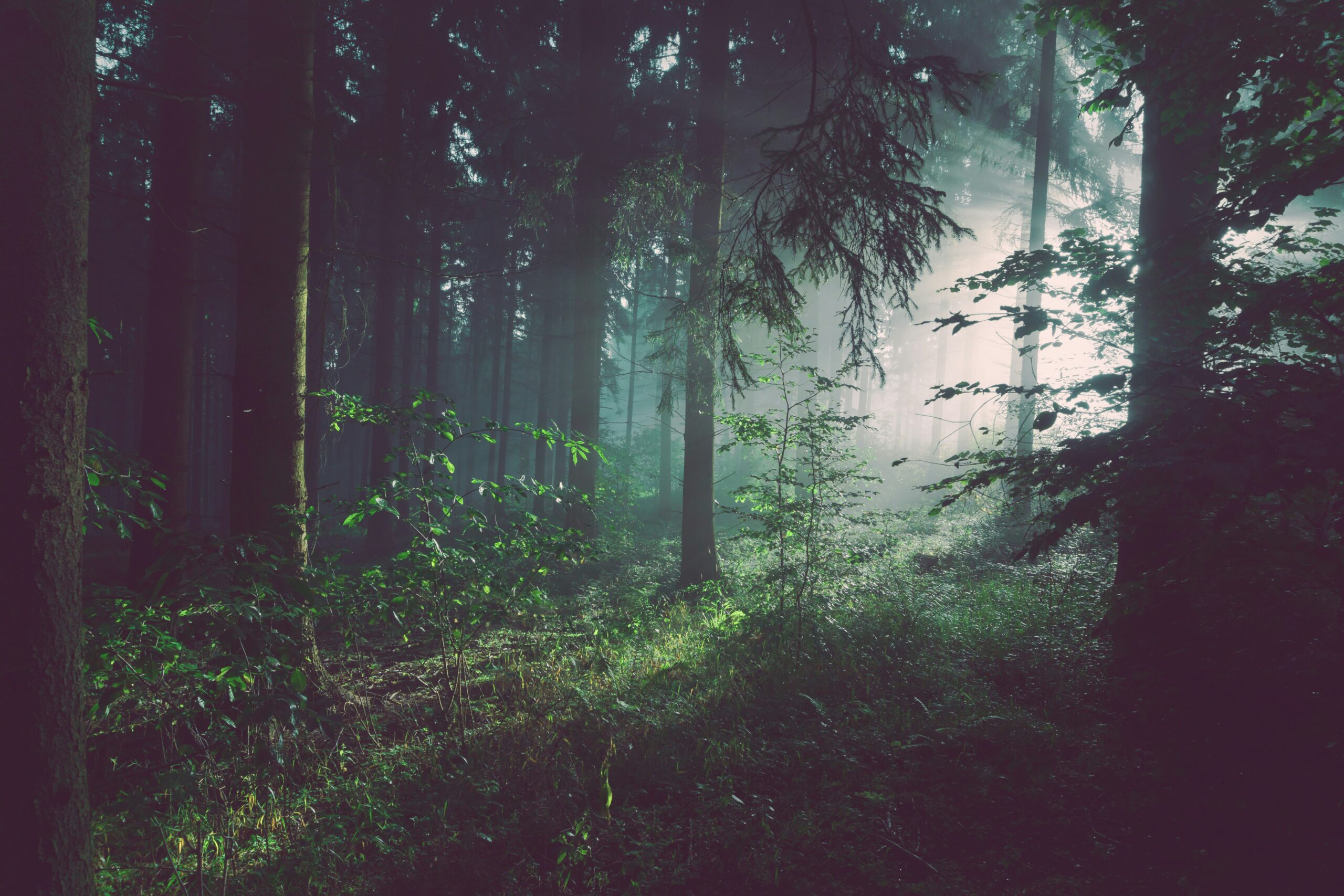
The climate of Doggerland was generally temperate, supporting lush vegetation. Evidence from core samples and from the preserved forests themselves reveals a landscape dominated by trees such as oak, birch, and pine, alongside diverse grassland and shrubland communities. This rich plant life, in turn, supported a wide array of fauna, including mammoth, woolly rhinoceros, giant deer, and aurochs. The presence of these large herbivores would have attracted predators like lions and wolves, creating a complex and dynamic ecosystem.
The Gradual Inundation: Rising Seas and the Retreat of Land
As the Earth began to warm at the end of the last Ice Age, glaciers started to melt. This process released colossal amounts of water, leading to a steady and inexorable rise in global sea levels. Over thousands of years, this rising tide gradually encroached upon Doggerland, transforming its terrestrial environments into coastal wetlands and eventually into the shallow sea we know today. This inundation was not a sudden catastrophic event but a slow, persistent drowning of a continent.
The Meltwater Pulse and Sea Level Rise
The melting of ice sheets was a significant driver of sea level rise. These meltwater pulses, periods of particularly rapid ice loss, caused dramatic increases in ocean volume. This gradual influx of water consumed the exposed continental shelf, pushing the coastlines further inland.
The Transformation of Landscapes: Wetlands and Estuaries
As the sea advanced, Doggerland’s rivers and estuaries expanded, creating vast marshlands and tidal flats. These dynamic environments would have presented both opportunities and challenges for any inhabitants.
The discovery of buried forests beneath the North Sea has sparked significant interest in understanding how ancient ecosystems interacted with changing climates. This topic is closely related to the challenges posed by climate change today, as highlighted in the article on Antarctica’s melting ice caps and their potential threat to sea level rise. For more insights on this pressing issue, you can read the article here: Antarctica’s Melting Ice Caps Threatening Sea Level Rise.
The Remarkable Preservation: Nature’s Underwater Archive
The sub-aquatic environment of the North Sea, particularly the lower-lying estuarine and peaty deposits, has provided an extraordinary environment for the preservation of organic material. The lack of oxygen, coupled with the cool, stable temperatures and the fine sediment cover, has effectively created a natural freezer, halting the process of decay for millennia. This exceptional preservation is what makes exploring the buried forests of the North Sea such a scientifically significant endeavor.
The Role of Peat and Anaerobic Conditions
Peat bogs and other waterlogged environments are known for their preservative qualities. When organic matter, such as buried trees, is submerged in these conditions, the limited availability of oxygen prevents the microorganisms responsible for decomposition from thriving. This anaerobic environment essentially mummifies the organic material.
How Oxygen Deprivation Halts Decay
Aerobic bacteria and fungi, which require oxygen to break down organic matter, cannot survive in the absence of it. In the waterlogged sediments of the North Sea floor, such conditions are prevalent, particularly in deeper, more isolated sections of the seabed where water circulation is limited.
The Formation of Peat Layers
Over time, the accumulation of partially decayed plant material in waterlogged conditions forms peat. These peat layers effectively encapsulate and protect any buried organic remains, acting as a protective shield against degradation.
Submerged Forests as Time Capsules
The resulting preserved wood, plant fragments, and associated artifacts are invaluable scientific resources. They provide direct evidence of past environments, vegetation composition, and even the activities of prehistoric humans. Each unearthed log or seed offers a tangible link to a lost world.
Studying Ancient Flora: Wood and Pollen Analysis
The preserved wood from these submerged forests allows scientists to identify tree species, determine their age through dendrochronology (tree-ring dating), and reconstruct past forest structures. Pollen analysis from sediment cores further complements this, revealing the broader botanical landscape.
Evidence of Past Fauna: Bones and Seeds
The preservation extends beyond plant life. Animal bones and teeth discovered in these deposits offer insights into the fauna that inhabited Doggerland, while seeds and nuts can reveal dietary habits or agricultural practices.
Unearthing Doggerland’s Secrets: Methods and Discoveries
The exploration of submerged prehistoric landscapes is a complex and multidisciplinary undertaking. Teams of scientists employ a range of cutting-edge technologies to survey, excavate, and analyze these challenging underwater environments. The discoveries made are continuously reshaping our understanding of this drowned continent.
Geophysical Survey Techniques: Mapping the Submerged Terrain
Before any physical exploration, extensive surveys are conducted using sonar and other geophysical methods to map the seabed and identify potential sites of interest. These techniques can reveal buried features that indicate the presence of ancient forests, human settlements, or other archaeological deposits.
Side-Scan Sonar and Multibeam Echosounders
These technologies emit sound waves and analyze the returning echoes to create detailed images of the seabed topography. They can identify anomalies like fossilized tree stumps, ancient river channels, and the outlines of buried structures.
Seismic Reflection: Peering Beneath the Seabed
Seismic reflection surveys use sound waves that penetrate the seabed, providing a cross-sectional view of the underlying geological layers. This allows scientists to identify buried sedimentary structures and anomalies on a much larger scale.
Underwater Archaeology: Excavating the Prehistoric Past
Once promising sites are identified, specialized underwater archaeological teams conduct meticulous excavations. This involves careful planning, skilled diving, and the use of sensitive equipment to recover fragile artifacts and samples without causing damage.
Remotely Operated Vehicles (ROVs) and Autonomous Underwater Vehicles (AUVs)
These robotic explorers can access deeper and more dangerous areas than human divers, equipped with cameras, lights, and sampling tools to survey and collect data.
Divers and Submersibles: Direct Exploration and Excavation
Human divers, often highly trained in archaeological excavation techniques, are crucial for detailed on-site work. Submersibles provide a platform for observation, lighting, and support during these delicate operations.
Artefact Recovery and Conservation
Any human-made objects or particularly significant organic remains are carefully recovered and then undergo specialized conservation processes to prevent their deterioration once removed from their protective underwater environment.
The Human Footprint: Traces of Prehistoric Life on Doggerland
The buried forests of the North Sea are not simply natural habitats; they are also testament to the presence and activities of early humans. Evidence suggests that Doggerland was not an uninhabited wilderness but a region supporting human populations who adapted to its changing landscape and utilized its resources.
From Hunter-Gatherers to Seafarers: Adapting to a Drowning Land
Archaeological finds, though often fragmented, paint a picture of human societies that navigated the evolving environments of Doggerland. These were likely hunter-gatherer groups who relied on the abundant resources of the land and its waterways.
Tools and Implements: Evidence of Daily Life
Stone tools, such as flint axes, scrapers, and spearheads, have been recovered from submerged sites, indicating the presence of early toolmaking traditions adapted to the local materials.
Hunting and Fishing: Exploiting Natural Resources
Evidence from animal bones and preserved fishing gear suggests that hunting and fishing were primary means of subsistence. The changing river systems and coastlines would have offered diverse opportunities for these activities.
Settlements and Social Structures: Glimpses of Community
While evidence of permanent settlements is less common due to the challenges of preservation and discovery, hints of social organization and communal living can be inferred from the distribution of artifacts and the landscape’s potential.
Hearths and Fire Pits: Signs of Habitation
The discovery of ancient hearths or fire pits, often found within peat layers, indicates areas where people congregated for warmth, cooking, and social interaction.
Potential for Fishing Camps and Seasonal Dwellings
It is speculated that coastal areas and river deltas may have supported temporary fishing camps or seasonal dwellings, occupied by groups who moved with the migratory patterns of animals or the availability of resources.
The discovery of buried forests beneath the North Sea has sparked interest in understanding the ancient ecosystems that once thrived in this region. These submerged woodlands not only provide insights into past climate conditions but also highlight the ongoing impact of climate change on our environment. For a deeper exploration of how climate change is affecting communities and leading to displacement, you can read about the challenges faced by climate refugees in this informative article on the topic. Check it out here.
The Future of Exploration: Continuing the Quest for Doggerland
The exploration of the North Sea’s buried forests is far from over. New technologies, increased understanding of paleoenvironmental processes, and a growing appreciation for the significance of Doggerland are driving ongoing research and the potential for groundbreaking discoveries.
Advancing Technologies and Interdisciplinary Collaboration
The field is constantly evolving, with advancements in underwater imaging, remote sensing, and data analysis offering ever more sophisticated ways to explore and interpret these submerged landscapes. Geologists, archaeologists, biologists, and climate scientists are increasingly working together.
High-Resolution Mapping and Sediment Analysis
Future research will likely involve even higher-resolution mapping techniques to detect finer details on the seabed and more refined methods for analyzing sediment cores to reconstruct past environments with greater accuracy.
Genetic and Isotopic Analysis: Unlocking Deeper Insights
Advanced genetic analysis of preserved organic material and isotopic analysis of bones and teeth can provide unprecedented insights into the origins, diet, and even migration patterns of both the flora and fauna, as well as the human populations of Doggerland.
The Significance of Doggerland in a Changing Climate
Understanding Doggerland is not just about the past; it holds crucial lessons for our present and future. Studying how this landmass was inundated provides valuable insights into the potential impacts of contemporary sea-level rise and climate change.
Lessons from Past Sea Level Rise
The story of Doggerland’s submersion serves as a stark reminder of the dynamic nature of our planet’s coastlines and the profound impact of climate fluctuations on human societies and ecosystems.
Predicting Future Sea Level Impacts
By studying the processes that led to Doggerland’s demise, scientists can refine models that predict the future impacts of rising sea levels on coastal communities and landscapes around the world, offering a vital perspective on preparedness and adaptation strategies. The buried forests of the North Sea are more than just echoes of a lost world; they are living laboratories that hold vital clues to our shared past and potential future.

The Forgotten World Beneath the North Sea
FAQs
What are buried forests beneath the North Sea?
Buried forests beneath the North Sea are ancient forests that were submerged underwater due to rising sea levels thousands of years ago. These forests are now preserved beneath the seabed.
How were these buried forests discovered?
The buried forests were discovered by scientists using sonar technology and sediment core samples. By analyzing the layers of sediment, researchers were able to identify evidence of ancient forests that once existed in the region.
What can the study of buried forests tell us about the past?
Studying buried forests can provide valuable insights into past climate conditions, sea level changes, and the geological history of the North Sea region. By analyzing the plant and tree species preserved in the sediment, scientists can reconstruct the environmental conditions that existed thousands of years ago.
Why are buried forests important for scientific research?
Buried forests are important for scientific research because they offer a unique opportunity to study ancient ecosystems and understand how they have been impacted by environmental changes over time. This information can help scientists better predict and understand future climate and sea level changes.
What are the potential implications of studying buried forests beneath the North Sea?
Studying buried forests beneath the North Sea can have implications for our understanding of climate change, coastal erosion, and the long-term effects of rising sea levels. This research can also inform conservation efforts and help us better protect and manage coastal ecosystems.