
The North Sea, a region often associated with windswept beaches, bustling shipping lanes, and an industrial hum of oil and gas extraction, holds secrets far more ancient and profound. Beneath its restless waves lies a forgotten world, a vast, submerged landscape that once teemed with life and was shaped by forces long since silenced. This is Doggerland, a lost continent that existed for millennia, a testament to the dynamic nature of our planet and the ephemeral presence of human civilizations. Exploring this sunken realm offers a tantalizing glimpse into a past that challenges our perceptions of the modern world and whispers tales of a land swallowed by the sea.
The existence of Doggerland is not a matter of speculation but a consequence of well-understood geological processes. For over two hundred thousand years, during the Pleistocene epoch and into the early Holocene, vast swathes of land connected Britain to continental Europe. This landmass, now largely submerged beneath the North Sea, is what archaeologists and geologists refer to as Doggerland. Its fate was inextricably linked to the colossal ice sheets that dominated much of the Northern Hemisphere during glacial periods.
The Great Ice Ages and Their Legacy
The Pleistocene epoch was characterized by repeated cycles of glaciation and interglacial periods. During the peak of the last glacial maximum, roughly 20,000 years ago, ice sheets extended across much of Britain and Scandinavia. So much water was locked up in these glaciers that global sea levels were significantly lower than today, perhaps by as much as 120 meters. This dramatic drop in sea level exposed vast areas of the continental shelf, creating a land bridge that facilitated the migration of animals and early humans.
The Gradual Inundation: A Landscape Reclaimed
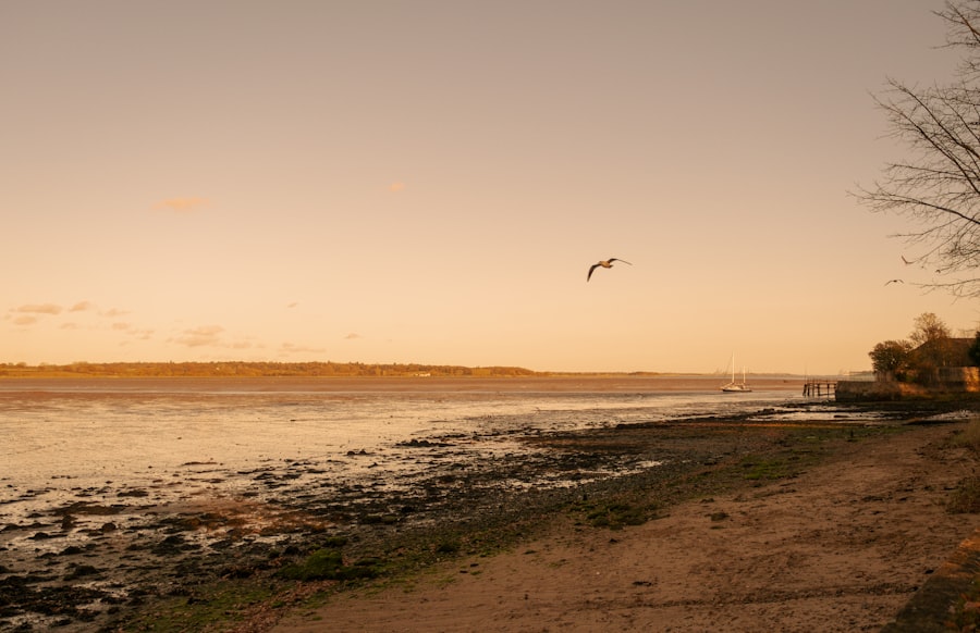
As the Earth began to warm after the last ice age, the glaciers retreated, and the oceans began their inexorable rise. This process was not instantaneous but a gradual inundation that spanned thousands of years. Rivers that once flowed across the exposed shelf began to widen, eventually merging into larger bodies of water. The coastline, once a distant memory, steadily crept inland, transforming the landscape from dry land to marsh, then to estuarine environments, and finally to the open sea that we know today. This slow but relentless transformation was the undoing of Doggerland and the creation of the North Sea.
The Influence of Tectonic Activity and Isostatic Rebound
While dramatic sea-level rise was the primary driver, other geological factors also played a role in shaping and ultimately submerging Doggerland. The immense weight of the ice sheets had pressed down on the Earth’s crust, a phenomenon known as isostatic depression. As the ice melted, the land began to rebound, a process that continues to this day, albeit at a much slower rate. This rebound could have influenced the relative sea levels in different parts of the region. Furthermore, tectonic activity, though less prominent in this region compared to others, could have also contributed to subtle shifts in elevation.
In exploring the mysteries of our planet’s history, “The Forgotten World Beneath the North Sea” delves into the submerged landscapes and ancient civilizations that once thrived in what is now the North Sea. A related article that further investigates the impact of climate change on historical societies is available at Uncovering the Secret Inscription of Ancient Climate, which reveals how ancient inscriptions provide insight into past climate conditions and their effects on human life. Together, these pieces highlight the intricate relationship between our environment and the civilizations that have come and gone.
Echoes of Humanity: Evidence of Prehistoric Life on Doggerland
The most compelling aspect of Doggerland is not just its geological transformation but the evidence it holds of prehistoric human activity. For tens of thousands of years, this fertile land was home to hunter-gatherer populations who left behind tantalizing traces of their existence. These discoveries, often accidental, paint a picture of a vibrant and settled existence before the sea claimed their world.
The Fisherman’s Bounty: Accidental Discoveries from the Deep
Much of what we know about Doggerland has been gathered through the efforts of North Sea fishermen. Their dredges and nets, designed to catch fish, have inadvertently brought to the surface a treasure trove of prehistoric artifacts. Flint tools, animal bones, and even fragments of wooden objects, all weathered by centuries beneath the waves, have provided invaluable insights. These chance encounters have been crucial in piecing together the puzzle of Doggerland’s past.
Tools of Survival: Revealing Ancient Lifestyles
Among the most common finds are flint tools, ranging from crude handaxes to finely worked arrowheads and scrapers. These artifacts speak to the ingenuity and resourcefulness of the people who inhabited Doggerland. The types of tools discovered suggest a diverse range of activities, including hunting, butchering animals, preparing hides, and working wood. The presence of specific tools can also indicate the species of animals being hunted and the types of plants being utilized.
Beyond the Stone Age: Glimpses of Early Agriculture and Settlement
While predominantly associated with hunter-gatherer societies, the deeper layers of Doggerland’s submerged landscapes suggest that some areas may have supported more settled communities. Evidence of structures, though rare, has been found, hinting at more permanent dwellings. Furthermore, the discovery of domesticated plant species and evidence of land management techniques suggests that some communities may have been transitioning towards early forms of agriculture, a remarkable achievement for the time.
Unearthing the Past: Modern Techniques in Underwater Archaeology
The challenge of exploring a submerged world is immense. Traditional archaeological methods are often inadequate for the vastness and water-logged conditions of the North Sea. However, advancements in technology and a growing understanding of Doggerland have enabled archaeologists to employ sophisticated techniques to unearth its secrets.
The Power of Sonar and Seismic Surveys: Mapping the Hidden Landscape
Before a single artifact can be recovered, archaeologists must first understand the underlying topography. High-resolution sonar and seismic surveys are indispensable tools for mapping the seafloor and identifying anomalies that might indicate buried archaeological sites. These technologies can detect subtle changes in sediment layers and even reveal the faint outlines of ancient features, such as riverbeds, shorelines, and even potential human structures.
Autonomous Underwater Vehicles (AUVs) and Remotely Operated Vehicles (ROVs): Eyes on the Deep
Once promising areas are identified, AUVs and ROVs become the eyes and hands of the archaeologists. Equipped with high-definition cameras, lights, and sonar, these robotic explorers can meticulously survey the seafloor, capturing detailed imagery and collecting data. ROVs, often tethered to a surface vessel, can also be equipped with manipulator arms to retrieve delicate artifacts or collect sediment samples, minimizing the need for direct human intervention in potentially hazardous environments.
Sediment Coring and Geoarchaeology: Reading the Layers of Time
Geoarchaeology plays a crucial role in understanding the context of any discoveries. By taking sediment cores, scientists can analyze the different layers of earth and determine their age and composition. This allows them to reconstruct the environmental conditions of Doggerland at different points in time and to understand how human activity interacted with the landscape. The analysis of pollen, diatoms, and other microscopic remains within these cores can reveal details about past vegetation, climate, and water salinity.
The Doggerland Project: A Collaborative Effort to Reconstruct a Lost World

Recognizing the immense archaeological and scientific potential of Doggerland, a dedicated international effort has been underway for years. The Doggerland Project, a collaborative initiative involving researchers from various institutions, is systematically working to piece together the fragmented evidence and create a more comprehensive understanding of this submerged landscape and its inhabitants.
Interdisciplinary Collaboration: Bringing Minds Together
The success of the Doggerland Project hinges on the synergy between different scientific disciplines. Archaeologists, geologists, paleontologists, climatologists, and geographers work together, sharing data and expertise. This interdisciplinary approach is essential for interpreting the complex information gathered from the seafloor and for reconstructing a holistic picture of Doggerland’s past.
Reconstructing the Landscape: Digital Models and Virtual Reality
One of the most exciting outcomes of the Doggerland Project is the creation of detailed digital reconstructions of the lost landscape. Using sophisticated 3D modeling software, researchers can combine data from sonar surveys, sediment cores, and artifact finds to create virtual environments that vividly depict what Doggerland might have looked like. These reconstructions are invaluable for educational purposes and for allowing the public to engage with this ancient world in an immersive way. Indeed, some work has even progressed towards virtual reality experiences allowing users to “walk” through ancient Doggerland.
The Ethics of Underwater Heritage: Protecting a Fragile Past
The exploration of Doggerland also raises important ethical considerations. As more is discovered, the need to protect these fragile underwater heritage sites becomes paramount. Balancing the pursuit of knowledge with the imperative of preservation is a delicate task, requiring careful planning and adherence to international conventions governing underwater archaeology. The accidental destruction of sites by ongoing industrial activities is a constant concern, necessitating robust protection measures.
In exploring the mysteries of underwater ecosystems, readers may find the article on marine conservation efforts particularly enlightening. This piece delves into the importance of preserving the delicate balance of life beneath the waves, which complements the themes presented in The Forgotten World Beneath the North Sea. For more insights on this critical subject, you can read the full article here.
Legacy and Future: What Doggerland Teaches Us
| Depth | Temperature | Salinity |
|---|---|---|
| 30 meters | 8°C | 35 ppt |
| 50 meters | 6°C | 36 ppt |
| 100 meters | 4°C | 37 ppt |
The story of Doggerland is more than just an academic pursuit; it offers profound lessons about our planet, our history, and our place within the grand sweep of time. Its gradual disappearance serves as a powerful reminder of the ever-changing nature of Earth’s coastlines and the potential impacts of climate change.
Lessons in Climate Change Adaptation and Resilience
The fate of Doggerland is a stark historical precedent for the challenges we face today. The rising sea levels that submerged this landmass are a contemporary concern for coastal communities worldwide. Studying how Doggerland’s inhabitants adapted to their changing environment, and ultimately succumbed to it, can provide valuable insights into strategies for resilience and adaptation in the face of present-day climate change. Understanding the timescales of such transformations is crucial for effective planning.
A Window into Human Migration and Adaptation
Doggerland played a crucial role in the migration of early humans out of Africa and across Europe. It served as a land bridge, allowing populations to spread and colonize new territories. The study of Doggerland sheds light on these ancient movements, the development of human societies, and the remarkable adaptability of our species to diverse environments. The artifacts recovered offer direct evidence of how these early populations interacted with their landscape and resources.
The Enduring Mystery and the Promise of Further Discovery
Despite the significant progress made in understanding Doggerland, much remains unknown. The vastness of the submerged landscape means that countless discoveries likely await. Future research, driven by technological innovation and continued collaboration, promises to unveil even more about this forgotten world, its inhabitants, and the dramatic forces that shaped its demise. The North Sea, once seen merely as a barrier or an engine of industry, is now recognized as a profound repository of human history, a silent testament to a land that once was. The exploration of Doggerland continues, a testament to humanity’s enduring curiosity and our desire to understand the deep past that lies beneath our modern feet.

The Forgotten World Beneath the North Sea
FAQs
What is the North Sea?
The North Sea is a marginal sea of the Atlantic Ocean located between Great Britain, Scandinavia, Germany, the Netherlands, Belgium, and France. It is known for its rich biodiversity and important role in the European economy.
What is the forgotten world beneath the North Sea?
The forgotten world beneath the North Sea refers to the prehistoric landscapes and archaeological sites that have been submerged due to rising sea levels over thousands of years. These sites include ancient forests, rivers, and even human settlements.
What has been discovered in the forgotten world beneath the North Sea?
Archaeologists and researchers have discovered a wealth of prehistoric artifacts and remains in the submerged landscapes of the North Sea. These discoveries include tools, weapons, human remains, and evidence of ancient animal species.
How have these discoveries been made?
Advancements in technology, such as sonar and underwater mapping, have allowed researchers to explore and document the submerged landscapes of the North Sea. Additionally, fishing trawlers and offshore construction projects have inadvertently uncovered prehistoric artifacts.
Why are these discoveries important?
The discoveries in the forgotten world beneath the North Sea provide valuable insights into prehistoric human life, ancient ecosystems, and the effects of climate change. They also contribute to our understanding of the cultural and environmental history of the region.