The vast, arid plains of the Nazca Desert in southern Peru hold one of archaeology’s most enduring mysteries: hundreds of geoglyphs, etched into the earth by a civilization that vanished centuries ago. These enigmatic designs, ranging from simple geometric shapes to intricate depictions of animals and plants, have captivated scholars and the public alike for decades. While traditional methods of study have yielded valuable insights, the sheer scale and complexity of the Nazca Lines present a formidable challenge to exhaustive analysis. Enter the realm of artificial intelligence, where advanced algorithms and sophisticated computational power are now being harnessed to unlock new secrets hidden within these ancient earthworks, paving the way for a deeper understanding through AI probability mapping.
Unveiling the Geoglyphs: The Traditional Approach and its Limitations
For generations, the study of the Nazca Lines has relied on a combination of direct observation, aerial photography, and painstaking mapping. Early explorers and researchers documented the lines, meticulously sketching and photographing them from rudimentary aircraft or even from elevated natural vantage points. The sheer size of many geoglyphs meant that their full form was often only discernible from above, leading to iconic aerial imagery that has become synonymous with the Nazca enigma.
The Nazca culture, responsible for creating these monumental artworks, flourished in the region between roughly 100 BCE and 800 CE. Their motivations remain a subject of intense debate. Theories abound, ranging from astronomical calendars and religious or ceremonial pathways to water-finding rituals or even landing strips for extraterrestrial visitors. While these hypotheses are compelling, the limited surviving textual evidence from the Nazca people leaves much room for interpretation.
Traditional archaeological methods, while foundational, face inherent limitations when confronting the Nazca Lines. The vast geographical expanse of the geoglyphs, spread across hundreds of square kilometers, makes comprehensive on-the-ground surveys incredibly time-consuming and resource-intensive. Furthermore, the subtle variations in line width, depth, and the composition of the exposed soil can be difficult for the human eye to consistently detect and categorize across such a large area. Identifying new, previously unrecorded geoglyphs or understanding subtle patterns within the existing ones can be a monumental task. The subjective nature of human interpretation, while valuable, can also introduce biases, making it challenging to establish objective criteria for analysis.
The Challenge of Scale and Detail
The sheer scale of the Nazca Lines presents a fundamental challenge to traditional research. Some figures, like the hummingbird or the spider, stretch for hundreds of meters, requiring extensive reconnaissance to fully appreciate their form. The “straight lines” that crisscross the landscape, some extending for kilometers, also defy simple explanation. Their precision and scale suggest a sophisticated understanding of surveying and engineering principles.
Interpreting Symbolism and Purpose
The symbolic meaning and intended purpose of these geoglyphs remain at the heart of the mystery. While some figures are easily recognizable as flora and fauna, others are more abstract, leaving their interpretation open to a wide range of theories. Without written records, deciphering the cultural context and potential functions of these earthworks is a complex endeavor.
The recent advancements in AI technology have significantly enhanced our understanding of archaeological sites, as demonstrated by the AI probability map used in the Nazca survey. This innovative approach not only aids in identifying potential geoglyphs but also highlights the importance of topography in archaeological research. For further insights into the role of topography in conflict navigation and its implications for various fields, you can read a related article at Navigating Conflict: Topography’s Role.
The Advent of Digital Archaeology and AI
The digital revolution has profoundly impacted archaeological research, and the Nazca Lines are no exception. High-resolution aerial photography, satellite imagery, and sophisticated Geographic Information Systems (GIS) have become indispensable tools, allowing researchers to document, analyze, and visualize the geoglyphs with unprecedented detail. However, even with these advancements, the sheer volume of data generated can be overwhelming, and the task of discerning subtle patterns and potential connections still requires significant human effort. This is where artificial intelligence, particularly machine learning and probability mapping, offers a transformative approach.
AI, with its ability to process vast datasets, identify complex patterns, and make predictions based on learned relationships, is uniquely suited to tackle the challenges posed by the Nazca Lines. Instead of relying solely on human observation and interpretation, AI can be trained to recognize specific features, quantify their characteristics, and identify statistically significant correlations that might elude human perception. This shift from manual analysis to automated, data-driven discovery promises to accelerate research and uncover new insights into this ancient civilization.
Leveraging Remote Sensing Data
The integration of remote sensing technologies – including high-resolution aerial photography, satellite imagery from various spectral bands, and even LiDAR (Light Detection and Ranging) data – provides a rich foundation for AI analysis. These datasets capture detailed topographical information, variations in soil composition, and subtle changes in vegetation that can indicate the presence of underlying structures or features. AI algorithms can sift through this multi-layered information with remarkable efficiency.
Machine Learning for Pattern Recognition
Machine learning algorithms, a subset of AI, are particularly adept at identifying patterns within complex datasets. By training these algorithms on existing known geoglyphs, researchers can then use them to scan new imagery and identify potential new figures or anomalies that might represent previously undiscovered lines or structures. This pattern recognition capability is crucial for expanding our knowledge of the full extent of the Nazca people’s artistry and engineering.
AI Probability Mapping: A New Lens on Ancient Artistry
AI probability mapping represents a cutting-edge application of artificial intelligence to the study of the Nazca Lines. This methodology involves training AI algorithms to analyze various geographical and environmental factors, along with the visual characteristics of known geoglyphs, to generate probabilistic maps. These maps highlight areas where the likelihood of discovering new geoglyphs or understanding existing ones is significantly higher, guiding researchers to focus their efforts more effectively.
The process typically begins with a comprehensive dataset that includes: existing documented geoglyphs, topographical data, soil composition maps, and even data related to water sources and geological features. The AI algorithm is then “trained” on this data, learning to associate certain combinations of these factors with the presence and characteristics of geoglyphs. For instance, the AI might learn that certain soil types, combined with specific topographical slopes and proximity to ancient watercourses, are more likely to host geoglyphs.
Once trained, the AI can then analyze new, unmapped areas or re-examine existing data with fresh eyes. It generates probability scores for different locations, indicating the likelihood that a geoglyph might exist there or that certain characteristics of an existing geoglyph are more significant than previously understood. This probabilistic approach allows archaeologists to move beyond random exploration and target areas that exhibit the highest statistical probability of yielding valuable discoveries.
Identifying Unseen Figures and Features
One of the most exciting applications of AI probability mapping is its potential to uncover previously unknown geoglyphs. The desert landscape is vast, and some figures may be partially eroded, obscured by natural processes, or simply overlooked by human observers. AI, by analyzing subtle variations in topography, soil discoloration, and patterns in vegetation that might indicate underlying disturbances, can flag potential new discoveries for further investigation. This could significantly increase the known catalog of Nazca geoglyphs, providing a more complete picture of their artistic repertoire.
Analyzing the Geometry and Relationships
Beyond mere identification, AI probability mapping can also shed light on the intricate geometric relationships between existing geoglyphs. By analyzing the precise dimensions, orientations, and spatial arrangements of various figures, AI can identify recurring patterns or alignments that might suggest a systematic design or a hidden meaning. For example, the AI could reveal statistical correlations between the orientation of animal figures and astronomical events, or identify clusters of geoglyphs that appear to form larger, overarching narratives or functional units.
Understanding the Creation Process
The probability mapping approach can also offer insights into the creation process itself. By analyzing the spatial distribution of geoglyphs in relation to resources like water or stone, and by examining the geological characteristics of the areas chosen for their creation, AI can help to infer the practical considerations that may have influenced their placement and design. This could include factors like the availability of suitable land for etching, the visibility of the figures from different vantage points, or the alignment with natural features.
Case Studies and Promising Discoveries
While still a developing field, AI probability mapping has already shown promising results in archaeological research, and its application to the Nazca Lines is generating significant excitement. Researchers are beginning to leverage these techniques to refine existing understandings and to explore uncharted territories within the Nazca plateau.
One area of focus involves re-examining the vast network of straight lines. Traditional analysis has struggled to definitively explain their purpose. AI, by mapping their precise trajectories against topographical features and potential ceremonial sites, might reveal subtle alignments or connections that suggest a more complex functional purpose than previously understood. For instance, a probabilistic analysis might highlight that certain lines converge on specific locations that have been identified as ritualistic centers, or that their orientations correlate with solstices or equinoxes in ways not immediately apparent through manual inspection.
Furthermore, AI is being employed to analyze the vast catalog of known geoglyphs for subtle stylistic variations or regional differences. By quantifying features like line width, curvature, and the complexity of internal details, AI can help to identify potential subgroups of geoglyphs or to trace the evolution of artistic styles over time. This could lead to a more nuanced understanding of the cultural and social dynamics of the Nazca civilization.
Enhancing the Search for New Geoglyphs
Early applications of AI probability mapping have already begun to identify areas with a high probability of containing new, undiscovered geoglyphs. By analyzing satellite imagery and topographical data, algorithms can flag subtle anomalies that might indicate partially eroded or less distinct figures. These flagged areas then become priority targets for on-the-ground verification, significantly increasing the efficiency of exploration. This is akin to having a highly trained guide who can point out the most promising paths in a vast and complex wilderness.
Decoding Geometric Relationships and Alignments
The intricate geometric relationships between the Nazca Lines have long been a source of fascination. AI can go beyond human visual inspection by statistically analyzing the precise orientations and proximities of hundreds of geoglyphs. This can reveal subtle alignments with astronomical phenomena, or suggest how different figures might have been intended to be viewed in conjunction with one another, perhaps as part of larger narrative sequences or ritualistic landscapes. This analytical depth offers a new perspective on the intentionality behind the Nazca creations.
Quantifying Stylistic Evolution and Regional Variation
By training AI on detailed measurements and characteristics of existing geoglyphs, researchers can begin to quantify stylistic evolution and regional variations within the Nazca culture. This approach allows for objective comparisons between different figures and sites, potentially revealing how artistic conventions changed over time or how different communities within the Nazca sphere of influence expressed their creativity. Such data-driven insights can paint a more nuanced picture of Nazca society.
The recent AI probability map Nazca survey has sparked significant interest in the intersection of technology and archaeology, revealing potential new insights into ancient civilizations. For those looking to explore how modern technology can aid in disaster preparedness and resource management, an intriguing article can be found at this link, which discusses essential strategies for prepping in uncertain times. This connection highlights the broader implications of AI applications beyond just historical research, showcasing its potential in various fields.
The Future of Nazca Exploration: A Collaborative Human-AI Endeavor
| Metric | Description | Value | Unit |
|---|---|---|---|
| Survey Area | Total area covered by the Nazca AI probability map survey | 500 | km² |
| Resolution | Spatial resolution of the AI probability map | 1 | meter per pixel |
| Probability Threshold | Threshold used to classify features as potential geoglyphs | 0.75 | Probability (0-1) |
| Detected Features | Number of potential geoglyphs identified by AI | 120 | features |
| Confirmed Features | Number of AI-detected features confirmed by experts | 85 | features |
| False Positive Rate | Percentage of AI detections not confirmed as geoglyphs | 29.2 | % |
| Processing Time | Time taken to generate the AI probability map | 48 | hours |
| Data Sources | Types of data used for AI analysis | Satellite imagery, LIDAR, Aerial photos | N/A |
The integration of AI probability mapping into the study of the Nazca Lines does not signal the end of human involvement; rather, it represents a powerful synergy between human intuition and artificial intelligence. AI serves as an indispensable tool to augment and accelerate human research, guiding archaeologists toward the most promising avenues of investigation. The critical interpretation of AI-generated insights, the formulation of new hypotheses, and the crucial on-the-ground verification of potential discoveries remain firmly within the domain of human expertise.
The future of Nazca exploration, therefore, lies in a collaborative human-AI endeavor. As AI continues to evolve and become more sophisticated, its ability to process increasingly complex datasets and to identify even more subtle patterns will undoubtedly lead to groundbreaking discoveries. This will not only deepen our understanding of the Nazca Lines themselves but will also provide invaluable insights into the lives, beliefs, and achievements of the ancient civilization that created them. The desert sands, once seemingly inscrutable, are beginning to yield their secrets, illuminated by the combined power of human curiosity and intelligent machines.
Ethical Considerations and Data Integrity
As with any advanced technology, the use of AI in archaeology raises important ethical considerations. Ensuring the integrity of the data used to train AI algorithms is paramount. Researchers must be vigilant about potential biases in historical datasets and strive for transparency in their methodologies. Furthermore, the role of AI should be clearly defined as a tool to assist, not replace, human expertise and judgment. The ultimate interpretation and contextualization of discoveries must remain a human endeavor.
The Role of Interdisciplinary Collaboration
The successful application of AI probability mapping to the Nazca Lines necessitates a strong interdisciplinary approach. Archaeologists, computer scientists, geologists, astronomers, and anthropologists must collaborate closely, each bringing their unique expertise to the table. This collaborative environment ensures that the AI models are robust, the data analysis is comprehensive, and the resulting interpretations are well-grounded in a multidisciplinary understanding of the Nazca culture and its historical context.
Ongoing Research and Future Potential
The journey of uncovering the secrets of the Nazca Lines with AI probability mapping is still in its early stages. As computational power increases and AI algorithms become more refined, the potential for future discoveries is immense. Future research could involve more sophisticated AI models capable of analyzing three-dimensional LiDAR data to reconstruct lost elements of geoglyphs, or predictive models that forecast the impact of climate change on the preservation of these ancient wonders. The continued integration of AI promises to redefine our understanding of human history and the enduring mysteries of our past.
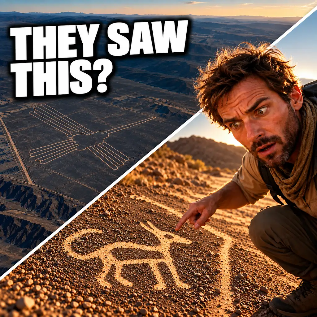
AI Found New Nazca Drawings—Could People See Them from the Ground?
FAQs
What is an AI probability map in the context of the Nazca survey?
An AI probability map is a digital map created using artificial intelligence algorithms to predict the likelihood of archaeological sites or features in a specific area, in this case, the Nazca region.
How does the AI probability map assist in the Nazca survey?
The AI probability map helps archaeologists and researchers identify potential locations of interest for further investigation, saving time and resources by focusing efforts on areas with higher probabilities of containing archaeological remains.
What technology is used to create the AI probability map for the Nazca survey?
The AI probability map for the Nazca survey is created using advanced machine learning algorithms that analyze satellite imagery, topographic data, and other relevant information to generate predictive models of archaeological site locations.
What are the benefits of using AI technology in archaeological surveys like the one in Nazca?
Using AI technology in archaeological surveys can significantly increase the efficiency and accuracy of site identification, leading to the discovery of new archaeological sites, preservation of cultural heritage, and a better understanding of past civilizations.
Are there any limitations or challenges associated with using AI probability maps in archaeological research?
While AI probability maps can be a valuable tool in archaeological research, they are not foolproof and may produce false positives or miss important sites. Additionally, the reliance on technology may overlook the importance of traditional fieldwork and human expertise in archaeological investigations.