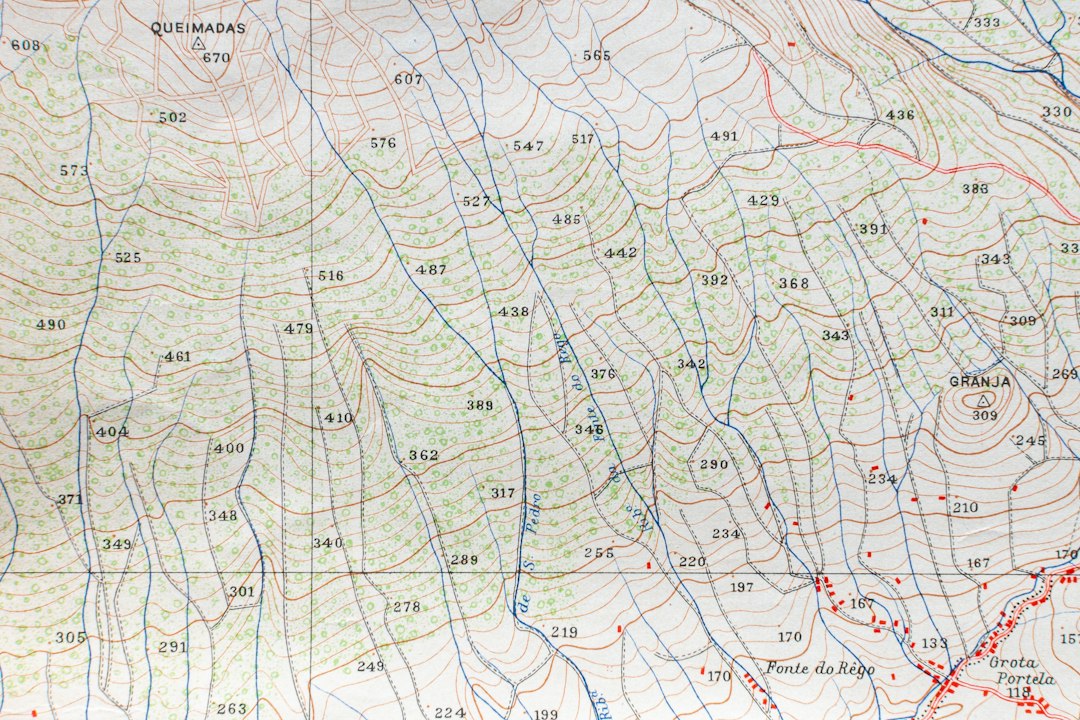
The whisper of ancient caravans and the creak of long-haul ships have long been subjects of fascination for historians. For millennia, humans have traversed vast distances, driven by the insatiable need for trade, the exchange of goods, ideas, and cultures. Unraveling the precise paths these ancient travelers took, however, has often been a monumental undertaking, relying on fragmented archaeological evidence, scarce textual records, and the educated guesswork of scholars. Now, a revolutionary approach leveraging spatial distance data is illuminating these historical arteries of commerce with unprecedented clarity, revealing the intricate web of connections that shaped our ancient world.
The ability to quantify and analyze the geographical realities of historical travel is transforming our understanding of ancient trade routes. By meticulously mapping distances, geographers and archaeologists are moving beyond simply identifying potential routes to understanding the practicalities of their use. This quantitative approach allows for a more rigorous examination of factors like travel time, resource availability along the way, and the strategic advantages of certain paths. The seemingly simple act of measuring distance, when applied to a complex historical context, unlocks a treasure trove of insights into human mobility, economic development, and cultural diffusion in antiquity.
This new wave of scholarship is not merely about pinpointing a single path. It is about understanding networks. Ancient trade was rarely a linear progression from point A to point B. It was a dynamic system of interconnected routes, with hubs, branches, and intermediate stopping points. Spatial distance data, when analyzed with sophisticated computational tools, can reveal these complex interdependencies, illustrating how goods and people flowed through a region and how different routes interacted and competed. The data allows for the construction of more accurate and comprehensive models of ancient economic landscapes, offering a clearer picture of how civilizations interacted and relied upon each other.
The Foundation: Deciphering Ancient Topography and Navigational Challenges
Before spatial distance data can be applied, a thorough understanding of the ancient world’s physical geography and the challenges faced by ancient travelers is paramount. The landscape of antiquity was vastly different from the meticulously surveyed and mapped terrain of today. Rivers, mountains, deserts, and dense forests presented formidable obstacles, dictating the feasible routes for passage. The data used must therefore be grounded in a realistic reconstruction of ancient environments, taking into account geographical features that have since changed due to natural processes or human intervention.
Reconstructing the Ancient Landscape: Beyond Modern Maps
Modern mapping technologies, while invaluable, often represent a present-day reality. To accurately map ancient trade routes, scholars must delve into historical geography, consulting ancient texts that describe landscapes, analyzing paleoenvironmental data to understand past climate and vegetation, and studying archaeological evidence of ancient settlements and land use. For instance, a river that is a mere trickle today might have been a navigable waterway in antiquity, a vital conduit for trade. Conversely, areas that are now easily traversed might have been impassable swamps or dense, untamed forests. Incorporating this historical topographical context is the bedrock upon which accurate distance calculations are built. This involves cross-referencing multiple sources, from ancient itineraries and geographical treatises to geological surveys and dendrochronological studies, to create a layered understanding of the historical environment.
The Tyranny of Distance: Travel Times and Endurance
The concept of “distance” in ancient times was intrinsically linked to the effort and time required for travel. A league or a day’s march represented a significant commitment of resources and energy. Spatial distance data, when translated into travel time estimates, provides crucial insights into the viability and economic feasibility of certain routes. Factors such as the mode of transport (foot, animal caravan, sailing ship), the terrain, prevailing winds and currents, and the availability of water and sustenance all influence travel time. By quantifying these elements, researchers can establish realistic maximum daily or weekly travel distances, thereby identifying which potential routes were actually practical for sustained trade. This also helps in understanding the economics of trade, as longer journeys meant higher costs for provisioning and increased risk of loss.
In exploring the implications of spatially certain mapped distance historical data, it is essential to consider the legal frameworks that govern nationalization and the protection of sovereign interests. A related article that delves into these themes is available at Legal Frameworks for Nationalization: Protecting Sovereign Interests. This piece provides valuable insights into how historical data can influence national policies and the legal considerations that come into play when countries assert their rights over resources and territories.
Harnessing the Power of Data: Quantifying and Visualizing Routes
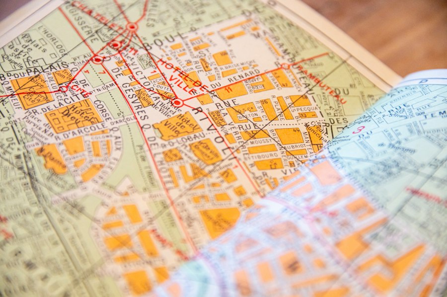
The application of spatial distance data relies heavily on modern computational tools and geographical information systems (GIS). These technologies enable the precise measurement of distances between known historical locations, the modeling of different route possibilities, and the visualization of the resulting trade networks. The integration of diverse datasets – from archaeological site locations and known caravan stops to textual references and sea charts – within a GIS framework allows for a more holistic and analytical approach to understanding ancient trade.
GIS as the Cartographer’s New Compass
Geographical Information Systems are the central engine driving this new era of trade route analysis. By digitizing historical maps, archaeological site data, and textual references that mention locations, GIS software can calculate precise distances between points. More importantly, it allows for the creation of “cost surfaces” that represent the difficulty of traversing different types of terrain. For example, mountainous regions might be assigned a higher cost value than flat plains, simulating the increased effort and time required to travel through them. Algorithms can then be employed to find the “least-cost paths” between historical trading centers, revealing the most probable routes that ancient traders would have utilized. This process moves beyond simply connecting dots to simulating the actual decision-making processes of ancient travelers based on environmental constraints.
From Data Points to Dynamic Networks: Unveiling Interconnections
The true power of spatial distance data emerges when it is used to construct and analyze entire networks rather than isolated routes. By mapping multiple potential routes and their connections, researchers can identify major trade arteries, secondary branches, and crucial nodes where goods and travelers converged. Analyzing the lengths of these connections, the density of routes in certain regions, and the distances between major hubs provides quantifiable insights into the scale, reach, and complexity of ancient trade systems. This allows for the identification of regions that were central to long-distance trade and those that were more peripherally involved, offering a new perspective on regional economic integration and the flow of influence. The visualization of these networks, often presented as intricate maps, makes the abstract concept of trade tangible and comprehensible.
Case Studies: Illuminating Specific Ancient Trade Networks
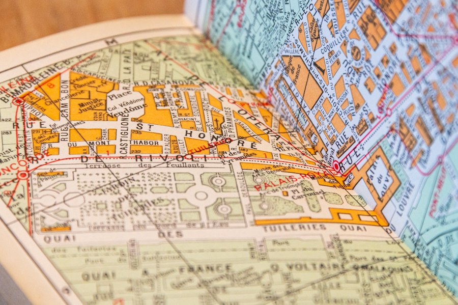
The theoretical framework of spatial distance data analysis comes to life when applied to specific historical contexts. Examining well-known ancient trade routes, as well as those less understood, provides tangible evidence of the methodology’s efficacy and the richness of the insights it can generate. From the Silk Road to the maritime trade of the Mediterranean, these case studies demonstrate how quantitative analysis can refine existing knowledge and uncover previously unknown aspects of ancient commerce.
The Silk Road: Beyond the Mythical Path
The Silk Road, a legendary network of trade routes connecting East and West, has long been a subject of romanticized depictions. However, spatial distance data is now allowing for a more nuanced understanding of its actual pathways and the logistical realities faced by those who traversed it. By mapping the distances between major oasis towns, mountain passes, and caravan staging posts across vast swathes of Central Asia, researchers can identify the most efficient and safest routes, factoring in the availability of water and fodder. This analysis can reveal why certain paths were favored over others, the relative importance of different segments of the route, and how the network shifted over time in response to political and environmental changes. The data can also illuminate the sheer scale of the distances involved, helping to explain the high value of goods transported and the development of specialized trading communities along the way.
Mediterranean Maritime Networks: Currents, Winds, and Distances
The vibrant maritime trade of the ancient Mediterranean, essential for the circulation of grain, wine, olive oil, and luxury goods, is another area benefiting from spatial distance data. Analyzing the distances between major ports, combined with data on prevailing winds and sea currents, allows for the reconstruction of optimal sailing routes. This approach can reveal the strategic importance of islands and coastal features as waypoints and safe havens. Furthermore, by modeling different sailing seasons and the impact of prevailing weather patterns, researchers can understand the seasonality of trade and the risks associated with different voyages. The data can also help in understanding the competitive dynamics between different maritime powers, as proximity and efficient sea lanes would have conferred significant economic advantages.
Uncovering the Undocumented: New Discoveries and Refined Narratives
One of the most exciting aspects of using spatial distance data is its potential to illuminate trade routes and connections that have been poorly documented or entirely overlooked in traditional historical accounts. By applying the methodology to less-studied regions or by re-examining existing data with a quantitative lens, scholars are unearthing new narratives about ancient economic interactions and cultural exchange.
Tracing the Footsteps of Lesser-Known Traders
Beyond the grand narratives of the Silk Road and Mediterranean trade, countless smaller-scale trade routes connected communities and facilitated the exchange of local produce and craft goods. Spatial distance data, applied at a regional level, can help to identify these often-undocumented arteries of commerce. By analyzing the distances between settlements within a specific geographical area, and considering local topography, researchers can hypothesize about the most likely routes for the movement of goods. This can reveal unexpected connections between seemingly isolated communities and highlight the importance of local trade networks in supporting larger regional economies. Archaeological evidence, when paired with spatial analysis, can then be used to confirm these hypothesized routes, providing a more complete picture of ancient economic life.
Bridging Gaps in the Historical Record: Reinterpreting Existing Evidence
Historical texts, while invaluable, are often incomplete, biased, or focus on the most prominent aspects of trade. Spatial distance data can act as a powerful tool for reinterpreting existing evidence and filling in the gaps. For instance, a brief mention of a trading post in an ancient text might be geographically ambiguous. By calculating distances from known locations, researchers can pinpoint the most probable site, and then use that information to understand its strategic importance within a broader trade network. Similarly, the absence of textual evidence for a particular route does not necessarily mean it didn’t exist, especially for smaller, informal trade. Spatial analysis can help to identify logical connections that might have been overlooked, prompting further archaeological investigation and potentially rewriting our understanding of ancient economic interdependencies.
Recent studies in historical geography have shed light on the significance of spatially certain mapped distance data, revealing how ancient civilizations interacted with their environments. For a deeper understanding of the factors that contributed to the decline of advanced technologies in these societies, you can explore this insightful article on the topic. It discusses various theories surrounding the destruction of ancient technology and the implications for our understanding of history. To read more, visit this article.
Implications for Historical Understanding: Beyond Goods to Culture and Power
| Year | Location | Mapped Distance (km) | Data Accuracy (%) | Mapping Method | Notes |
|---|---|---|---|---|---|
| 1990 | Amazon Basin | 1500 | 85 | Satellite Imagery | Initial large-scale mapping |
| 2000 | Himalayan Range | 800 | 90 | GPS Surveying | Improved elevation data |
| 2010 | Sahara Desert | 1200 | 92 | Remote Sensing | Enhanced spatial resolution |
| 2020 | Great Barrier Reef | 600 | 95 | Underwater LIDAR | High precision underwater mapping |
| 2023 | Alps | 700 | 97 | Drone Photogrammetry | Real-time spatial data collection |
The insights gleaned from mapping ancient trade routes using spatial distance data extend far beyond mere economic history. These routes were not just conduits for material goods; they were also pathways for the diffusion of ideas, technologies, religions, and languages. Understanding the spatial organization of trade therefore provides a critical lens through which to examine the broader patterns of cultural exchange, political influence, and social development in the ancient world. The quantitative nature of this approach lends a new rigor to these interpretations, grounding them in the physical realities of ancient connectivity.
The Diffusion of Ideas and Innovations: Journeys of Knowledge
Trade routes have always been highways of information. The exchange of goods was invariably accompanied by the exchange of knowledge. By mapping the distances and connections of trade routes, researchers can better understand the spatial diffusion of innovations, technologies, and cultural practices. For example, the spread of agricultural techniques, architectural styles, or religious beliefs can be traced along the pathways illuminated by trade route analysis. Quantifying the distances involved helps to explain the speed and extent of this diffusion, revealing how quickly new ideas could travel across continents and how they adapted to different cultural contexts along the way. This perspective shifts the focus from isolated discoveries to the interconnectedness of human ingenuity.
Trade as a Driver of Power and Empire: Geopolitical Dimensions
The control of trade routes has historically been a significant source of power and wealth, shaping the rise and fall of empires. Spatial distance data can illuminate the geopolitical implications of ancient trade by revealing the strategic importance of certain locations and the economic advantages conferred by controlling key arteries of commerce. By analyzing the distances between major trading hubs and the accessibility of resources, researchers can understand how trade contributed to the expansion of empires and the formation of political alliances. The ability to move goods efficiently over long distances was a crucial factor in projecting power and maintaining control, and the mapping of these routes provides a tangible illustration of these historical dynamics. This analysis helps to move beyond simplistic narratives of conquest to a more nuanced understanding of how economic networks underpinned imperial ambitions.

The 2.7% Statistic That Terrifies Roman Historians
FAQs
What is spatially certain mapped distance historical data?
Spatially certain mapped distance historical data refers to historical information that has been accurately mapped and measured in terms of distance, providing specific spatial details.
How is spatially certain mapped distance historical data collected?
This type of data is collected using various methods such as GPS technology, satellite imagery, historical maps, and ground surveys to accurately measure and map historical locations and distances.
What are the benefits of using spatially certain mapped distance historical data?
Using this data allows researchers, historians, and geographers to analyze historical events, patterns, and relationships with precise spatial information, leading to a better understanding of the past.
Can spatially certain mapped distance historical data be used for urban planning and development?
Yes, this data can be valuable for urban planning and development projects as it provides insights into historical land use, transportation networks, and spatial relationships that can inform decision-making processes.
How can spatially certain mapped distance historical data be visualized and analyzed?
This data can be visualized through geographic information systems (GIS) software, allowing users to create maps, conduct spatial analysis, and generate visual representations of historical data for research and presentation purposes.