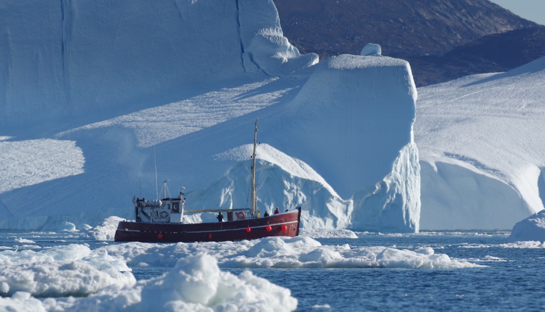
NASA Radar Reveals Greenland Ice Changes
A revolutionary application of radar technology has illuminated the dynamic and alarming changes occurring within Greenland’s colossal ice sheet. For years, scientists have relied on various methods to monitor its health, but a recent deep dive, utilizing sophisticated radar systems, has unveiled a more intricate and concerning picture of ice loss and its underlying mechanisms. This advanced radar data provides unprecedented insights into the ice sheet’s internal structure, its interaction with the bedrock, and the accelerating flow of ice towards the ocean.
The implications of these findings are profound, contributing to a growing body of evidence that points towards a significant acceleration in Greenland’s contribution to global sea-level rise. The detailed radar mapping allows researchers to discern subtle variations in ice thickness and flow that were previously undetectable, offering a crucial window into the complex processes driving these changes. This sophisticated observational capability marks a new era in our understanding of polar ice sheets and their role in a changing climate.
The ability to peer beneath the surface of Greenland’s massive ice sheet is a technological feat that grants scientists access to secrets hidden for millennia. Ice-penetrating radar, a sophisticated form of remote sensing, has been the key to unlocking this subterranean world. Instead of relying solely on surface observations, which only capture a fraction of the story, these radar systems emit radio waves that travel through kilometers of ice, reflecting off different layers and the bedrock below. The returning signals are then meticulously analyzed, creating detailed maps of the ice sheet’s internal structure, its thickness, and the topography of the land beneath. This technology has undergone continuous refinement, with recent missions boasting enhanced resolution and penetration capabilities, making them instrumental in the latest revelations about Greenland’s ice.
How Ice-Penetrating Radar Works
The fundamental principle behind ice-penetrating radar (IPR) is the reflection of electromagnetic waves. Similar to how radar is used to detect aircraft or ships, IPR systems send pulses of radio waves downwards from an aircraft or spacecraft. These radio waves are specifically chosen for their ability to penetrate ice effectively. As the waves travel through the ice, they encounter variations in density, such as internal ice layers, meltwater lenses, or the interface between the ice and the underlying bedrock. At each of these interfaces, a portion of the radio wave is reflected back towards the radar receiver.
The time it takes for the signal to travel to the reflecting layer and return is precisely measured. Knowing the speed of radio waves in ice (which is slightly slower than in air), scientists can accurately calculate the depth to these subsurface features. Modern IPR systems utilize advanced signal processing techniques to differentiate between various types of reflections and to build a three-dimensional picture of the ice sheet. This includes determining the total ice thickness, identifying subglacial topography, mapping the presence and distribution of subglacial water, and even detecting areas of basal melt. The resolution of these systems allows for the identification of features as small as a few meters across, providing a level of detail previously unimaginable.
Historical Context and Technological Advancements
The concept of using radar to study ice is not new. Early experiments with radar for ice studies date back several decades. However, the technology has evolved dramatically. Early systems had limited penetration depth and resolution, making them suitable for general ice thickness measurements but less effective for detailed subsurface studies. The development of pulsed radar systems, synthetic aperture radar (SAR), and more recently, advanced interferometric radar techniques have revolutionized the field.
The use of airborne platforms, such as aircraft and helicopters, equipped with these IPR systems has been crucial. Missions like NASA’s Ice, Cloud, and land Elevation Satellite (ICESat) and its successor ICESat-2, while primarily optical or laser-based, have been complemented by dedicated radar surveys. The crucial breakthroughs in recent years stem from the deployment of more powerful and sensitive radar instruments on specially designed aircraft and, increasingly, through satellite missions that offer wider coverage and repeat observations. These advancements allow for the creation of comprehensive databases of ice sheet structure and dynamics, enabling scientists to track changes over time with unprecedented accuracy.
Applications Beyond Ice Thickness
While accurately measuring ice thickness is a primary function, IPR provides a wealth of additional information. It can map the subglacial topography, revealing mountains, valleys, and fjords hidden beneath the ice. This bedrock topography plays a critical role in controlling ice flow, as it influences where ice streams accelerate or decelerate. Furthermore, radar signals can be sensitive to the presence of water at the base of the ice sheet. Meltwater acts as a lubricant, speeding up the flow of ice towards the ocean. IPR allows scientists to identify these subglacial water systems, understanding their extent and how they connect to the ice sheet’s dynamics. This capability is vital for predicting how changes in surface melt might translate into increased ice discharge.
Recent advancements in NASA’s radar technology have provided crucial insights into the melting of Greenland’s ice sheets, revealing alarming rates of ice loss that could significantly impact global sea levels. For more information on how space exploration and technology are influencing our understanding of Earth’s climate, you can read a related article on the strategic advantages of lunar militarization at this link.
Greenland’s Accelerating Melt: A Statistical Overview
The radar data has provided stark statistical evidence of Greenland’s accelerating melt. The sheer volume of ice being lost is staggering, and the rate at which this loss is occurring has increased significantly in recent decades. These statistics, derived from the detailed radar mapping, paint a concerning picture of the ice sheet’s rapidly changing state and its contribution to global sea-level rise. The precision of the radar allows for the quantification of these changes with a degree of certainty that strengthens the scientific consensus on climate change impacts.
Quantifying Ice Mass Loss
The most striking statistics emerging from the radar analyses concern the quantification of ice mass loss. By comparing radar-derived ice thickness maps from different years, scientists can calculate the net change in ice volume across vast areas of Greenland. These studies consistently show a net loss of ice, meaning that the amount of ice melting and flowing into the ocean exceeds the amount of snow accumulating on the surface. The rate of this loss has been observed to be accelerating. For instance, studies comparing data from the early 2000s to more recent years have shown a marked increase in the annual rate of ice mass loss, often measured in billions of tons per year. This dramatic increase signifies a departure from historical norms and indicates that the ice sheet is responding rapidly to warming temperatures.
Trends in Ice Flow Velocity
Beyond static measurements of ice thickness change, radar technology has been instrumental in tracking the dynamic behavior of Greenland’s ice. Specifically, it allows for the measurement of ice flow velocities. Ice flow is not uniform; large glaciers and ice streams move much faster than the surrounding ice, acting like conveyor belts transporting ice from the interior to the coast. Radar interferometry, a technique that analyzes the phase difference between two radar images taken at slightly different times, can precisely measure the surface displacement of the ice. These measurements have revealed that many of Greenland’s major outlet glaciers are speeding up, some by several kilometers per year. This acceleration in flow is a direct consequence of thinning ice in higher elevations and increased melting at the grounding line, where glaciers meet the ocean.
Regional Variations and Hotspots
The radar data also highlights significant regional variations in ice loss and flow. Certain areas of Greenland are experiencing much more rapid changes than others. The Jakobshavn Glacier in west Greenland, for example, has long been recognized as one of the fastest-flowing and most rapidly retreating glaciers in the world. However, recent radar studies have identified other “hotspots” of accelerated melting and ice loss, particularly in northeast Greenland, an area previously thought to be more stable. Understanding these regional differences is crucial for projecting future sea-level rise, as these specific glaciers and ice shelves have a disproportionate impact on the overall mass balance of the ice sheet. The detailed radar maps allow scientists to pinpoint these areas of concern and focus further research efforts.
Subglacial Dynamics: The Hidden Drivers of Change

Perhaps the most significant revelations from the advanced radar analyses pertain to the subglacial environment. The complex interactions between the ice, the bedrock, and subglacial water are now being understood with unprecedented clarity. This “hidden” world beneath the ice is proving to be a critical driver of the changes observed at the surface, influencing how quickly and in what ways Greenland’s ice is responding to a warming climate.
The Role of Subglacial Water
Subglacial water plays a pivotal role in regulating the flow of ice sheets. This water can originate from the melting of ice at the base, geothermal heat, or even water seeping down from the surface through crevasses. Radar data has revealed extensive networks of subglacial rivers and lakes. When water accumulates at the base of the ice sheet, it can reduce the friction between the ice and the bedrock. This lubricating effect allows the ice to slide more easily, leading to faster ice flow. The presence and extent of these subglacial water systems, which can now be mapped in detail using radar, are therefore critical factors in determining the stability of glaciers and the potential for rapid ice loss.
Basal Sliding and Meltwater Lubrication
The concept of basal sliding is central to understanding how ice sheets move. The radar’s ability to detect the presence of water at the ice-bedrock interface provides direct evidence for this process. When meltwater forms at the base of the ice, it can create a thin layer of water that significantly reduces friction. This allows entire glaciers to accelerate their flow towards the sea. The radar data allows scientists to map areas where basal sliding is most pronounced and to correlate it with meltwater presence. This understanding is crucial for predicting how an increase in surface melting, driven by atmospheric warming, will translate into enhanced basal sliding and thus increased ice discharge.
Bedrock Topography’s Influence on Flow
The shape of the land beneath the ice sheet, the bedrock topography, has a profound influence on ice flow. Radar mapping reveals that ice streams, the fastest-flowing sections of the ice sheet, often follow channels or valleys in the bedrock. These channels can funnel ice towards the coast, acting like natural highways. Conversely, areas of higher bedrock can act as barriers, slowing down ice flow. The detailed radar surveys allow scientists to create highly accurate maps of this subglacial landscape. By combining these topographic maps with ice velocity data, researchers can better understand why certain glaciers flow faster than others and how changes in ice thickness might alter these flow patterns. For example, a thinning ice sheet might allow faster flow in previously constricting areas.
Outlet Glaciers: The Ice Streams Unleashed

The most dramatic manifestations of Greenland’s changing ice sheet are the outlet glaciers – massive rivers of ice that drain the interior of the ice sheet into the ocean. Radar analyses have provided unparalleled detail on how these glaciers are behaving, revealing that many are now accelerating and thinning at alarming rates, effectively becoming “unleashed” and contributing significantly to sea-level rise.
Observing Glacial Retreat and Thinning
Radar’s ability to measure ice thickness and velocity provides direct observations of glacial retreat and thinning. For many outlet glaciers, radar surveys have shown a clear pattern of the grounding line (where the glacier lifts off the bedrock and begins to float) retreating inland. This retreat is often accompanied by a thinning of the ice column above. The rate of thinning can be substantial, with some glaciers losing tens of meters of ice thickness per year. This thinning weakens the glaciers, making them more susceptible to fracture and ultimately leading to increased calving of icebergs into the ocean.
Speeding Up of Ice Flow
As mentioned previously, radar interferometry has been crucial in documenting the accelerating flow of outlet glaciers. Many of Greenland’s largest outlet glaciers have experienced significant increases in their speed over the past few decades. This acceleration is often directly linked to thinning and retreating grounding lines. As the grounding line retreats into deeper water or onto steeper bedrock slopes, the increased buoyancy and gravitational forces can drive faster ice flow. The radar data allows scientists to quantify these speed-ups with high precision, providing critical input for sea-level rise models.
Iceberg Calving and Its Drivers
Iceberg calving is the process by which glaciers shed ice into the ocean. This is a primary mechanism for ice loss from Greenland. The rate of calving is influenced by several factors, including glacial flow speed, ice thickness, and the presence of ocean water at the glacier front. Radar can help to infer some of these factors. For instance, areas of thinner ice or the presence of fractures can be indicative of areas prone to calving. Furthermore, the acceleration of glaciers brings more ice to the calving front, increasing the potential for large iceberg events. Understanding the dynamics of calving is essential for accurately predicting the ice sheet’s contribution to sea-level rise.
Recent studies utilizing NASA radar technology have revealed significant insights into the melting of Greenland’s ice sheets, highlighting the urgent need for climate action. This research not only sheds light on the current state of our planet but also connects to broader historical mysteries, such as those discussed in a fascinating article about unexplained ancient artifacts. For more intriguing insights into how past civilizations may have interacted with their environments, you can read the article here: unexplained ancient artifacts.
Future Projections and Implications for Sea-Level Rise
| Year | Ice Thickness (m) | Ice Velocity (m/year) |
|---|---|---|
| 2011 | 450 | 25 |
| 2012 | 420 | 28 |
| 2013 | 400 | 30 |
| 2014 | 380 | 32 |
The detailed observations provided by NASA’s radar campaigns are not merely of academic interest. They are directly informing crucial projections about Greenland’s future contribution to global sea-level rise, a critical concern for coastal communities worldwide. The data gleaned from these advanced radar systems allows scientists to refine existing models and develop more accurate predictions, highlighting the urgency of climate action.
Refining Sea-Level Rise Models
Sea-level rise models rely heavily on accurate input data about ice sheet mass loss. The detailed measurements of ice thickness changes, ice flow velocities, and subglacial hydrology provided by radar have significantly improved the accuracy of these models. Previously, models might have relied on broader estimates or less precise measurements. The granular data from radar allows for a more nuanced understanding of how different parts of the ice sheet are responding to warming. This improved precision is vital for making reliable projections of future sea-level rise, which have direct implications for coastal planning and adaptation strategies.
The Urgency of Climate Action
The continuing acceleration of ice loss in Greenland, vividly revealed by radar, underscores the urgency of global efforts to mitigate climate change. The observed changes are not abstract scientific observations; they represent a tangible threat to coastal populations and ecosystems around the world. Increased sea levels can lead to more frequent and severe coastal flooding, erosion, saltwater intrusion into freshwater sources, and displacement of communities. The radar data provides compelling evidence that inaction on climate change will result in increasingly severe consequences.
Long-Term Stability of the Ice Sheet
The long-term stability of the Greenland ice sheet is a critical question for future climate. The current rate of change suggests that the ice sheet may be approaching or has already passed tipping points, beyond which significant and irreversible melting could occur. While radar alone cannot predict the exact timing of such tipping points, it provides the crucial observational data needed to constrain models and assess the risks. The detailed understanding of subglacial processes and ice flow dynamics gained through radar is essential for answering this fundamental question about the future of our planet. The information gathered is a wake-up call, urging decisive action to reduce greenhouse gas emissions and limit global warming.

This Crater Was Supposed to Rewrite Human History… It Didn’t
FAQs
What is NASA radar Greenland ice?
NASA radar Greenland ice refers to a radar system used by NASA to study the ice sheets in Greenland. This radar system is used to measure the thickness and movement of the ice, as well as to monitor changes in the ice sheets over time.
How does NASA radar Greenland ice work?
NASA radar Greenland ice works by sending radar pulses from an aircraft or satellite down to the ice sheet. These pulses penetrate the ice and bounce back to the radar system, providing information about the thickness and structure of the ice. By analyzing the radar data, scientists can track changes in the ice sheets and better understand how they are responding to climate change.
What are the benefits of using NASA radar Greenland ice?
Using NASA radar Greenland ice allows scientists to monitor changes in the ice sheets with a high level of detail and accuracy. This information is crucial for understanding the impact of climate change on the Greenland ice sheet and for predicting future sea level rise. Additionally, the data collected from the radar system can help improve climate models and inform policy decisions related to climate change.
What has NASA radar Greenland ice revealed about the Greenland ice sheet?
NASA radar Greenland ice has revealed that the ice sheet is experiencing significant changes, including thinning and increased movement. These changes are attributed to rising temperatures and melting at the surface of the ice sheet. The radar data has also shown that some parts of the ice sheet are more vulnerable to melting than others, which has important implications for sea level rise projections.
How is NASA radar Greenland ice contributing to our understanding of climate change?
NASA radar Greenland ice is contributing to our understanding of climate change by providing detailed and accurate data on the state of the Greenland ice sheet. This data is essential for tracking changes in the ice sheet over time and for predicting how it will contribute to sea level rise in the future. By studying the Greenland ice sheet, scientists can better understand the impacts of climate change and develop strategies for mitigating its effects.