The earth remembers a time when the skies wept with an intensity that reshaped landscapes. These were not mere seasonal rains, but cataclysmic deluges, ancient floodwaters that rose and surged with a primal force, transforming familiar terrains into ephemeral seas. Among the most enduring testaments to this epoch are the ancient gravel crossings, the submerged remnants of pathways that once guided early humans and the megafauna they coexisted with. These gravel deposits, meticulously laid or naturally occurring, represent vital arteries of the prehistoric world, points of passage across rivers and streams. When the floods came, these crossings, once solid and dependable, would vanish beneath churning torrents, only to be revealed again by the ebbing tides of these primeval storms.
Whispers from the Sedimentary Record
The story of these prehistoric floods and their impact on ancient crossings is primarily written in stone and sediment. Geologists and archaeologists meticulously sift through layers of earth, searching for clues that speak of a wetter, wilder past. The very composition of riverbeds and floodplains tells a tale of deposition and erosion, of periods of calm followed by violent inundation. Gravel crossings, by their very nature, are a product of flowing water, either shaped by the deliberate hand of early peoples or naturally formed by consistent fluvial activity. Understanding their context within the broader sedimentary record is crucial to deciphering the scale and frequency of these ancient floods.
The Chemistry of Cataclysm
Analysis of sedimentary cores reveals distinct layers that signal periods of extreme precipitation and subsequent flooding. Chemical signatures within these layers can indicate the source of the water, its temperature, and the dissolved minerals it carried. For instance, high concentrations of specific isotopes might point to meltwater from rapidly melting glaciers, a common feature of periods of dramatic climate shift. Conversely, other chemical markers can suggest prolonged and intense rainfall events. These detailed chemical analyses provide a quantitative basis for understanding the intensity of past flood events, allowing researchers to distinguish between minor overflows and truly cataclysmic deluges that would have dwarfed modern flood scales. The presence of particular sediment types, such as fine silts and clays, often signifies periods of slow-moving, widespread inundation, while coarser gravels and cobbles indicate the erosive power of fast-flowing floodwaters.
Fossil Footprints in the Mud
The discovery of fossilized remains within flood deposits offers direct evidence of the creatures that lived through these events. The skeletal remains of large mammals, such as mammoths, mastodons, and extinct rhinoceroses, are frequently found embedded in ancient floodplains. Their presence, particularly when found in proximity to what are believed to be ancient crossing sites, suggests that these pathways were utilized by these giant herbivores, and that they, in turn, were subjected to the overwhelming force of the floods. The precise positioning of these fossils can also offer insights into the dynamics of the floodwaters – were the animals swept away, or did they seek refuge on higher ground? The absence of certain types of fauna during specific flood periods can also be indicative, suggesting that some species may have been more susceptible to the devastating effects of these inundations.
Recent studies have shed light on the impact of prehistoric floodwaters rising over gravel crossings, revealing how ancient civilizations adapted to their changing environments. For a deeper understanding of how these early societies managed water resources and constructed intricate systems to cope with flooding, you can explore the article titled “Uncovering Ancient Water Management Systems” at this link. This research provides valuable insights into the engineering techniques and innovations that allowed communities to thrive despite the challenges posed by natural disasters.
Human Ingenuity at the Water’s Edge
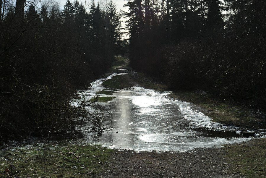
The existence of ancient gravel crossings is a testament to the resourcefulness of early human populations. Faced with impassable rivers and streams, they recognized the necessity of stable points of passage. The construction or enhancement of these crossings, often in areas naturally prone to shallower depths or slower currents, allowed for the movement of people, goods, and hunting parties. These were not merely simple arrangements of stones; they represented an understanding of hydraulics and an investment of considerable labor. The choice of location for these crossings was likely strategic, taking into account not only the width and depth of the water but also the prevailing wind and current patterns.
The Art of Stone Placement
The deliberate arrangement of stones and pebbles to form a solid base across waterways speaks volumes about the observational skills and engineering prowess of prehistoric peoples. These crossings were not haphazard piles but often meticulously constructed structures. Archaeologists examining these sites can discern patterns in the placement of materials, indicating an effort to create a stable and enduring pathway. The types of stones used, their size, and their distribution all provide clues about the methods employed. The presence of specific tool marks on some of these stones can further confirm human intervention. The longevity of some of these gravel structures, surviving for millennia, is remarkable, demonstrating an understanding of how to harness the natural resilience of the materials.
Adapting to a Changing Flow
The creation and maintenance of gravel crossings were inherently tied to the prevailing water levels. It is likely that these crossings were most effective during periods of lower water flow. When prehistoric floods rose, these carefully constructed pathways would have been submerged, rendering them unusable, and in some cases, potentially damaging or displacing the very stones that formed them. The resilience of these crossings, or their repeated reconstruction after flood events, indicates a deep understanding of seasonal cycles and a persistent need to maintain these vital connections. This suggests a cyclical relationship between human construction and natural inundation, where periods of accessibility were followed by periods of submersion.
The Fury of the Primeval Deluge
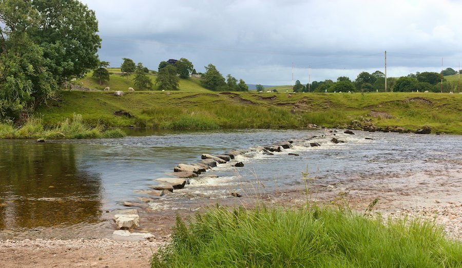
The prehistoric floodwaters that periodically engulfed these gravel crossings were of an order of magnitude far beyond anything experienced in recent human history. These were events shaped by dramatic climate fluctuations, geological shifts, and the sheer volume of water released by immense storms or rapid glacial melt. The impact on the landscape was profound, not only in the immediate inundation but also in the long-term reshaping of river channels and floodplains.
When Rivers Became Oceans
Periods of intense rainfall, prolonged monsoon seasons, or the catastrophic collapse of glacial ice dams could unleash colossal volumes of water. These superfloods transformed rivers into raging torrents, vast expanses of churning water that erased the familiar contours of the land. The power of these floodwaters was immense, capable of eroding bedrock, transporting enormous boulders, and reshaping entire valleys. The gravel crossings, designed for more temperate conditions, would have been completely overwhelmed, disappearing beneath the surging brown mass of the flood. The force of the water could easily dislodge and scatter the carefully placed stones, requiring significant effort to re-establish them once the waters receded.
Landscapes Remade
The aftermath of these prehistoric floods was a landscape dramatically altered. River channels were scoured and widened, sediment was deposited in vast sheets, and new landforms were created. The gravel crossings, if they survived the initial onslaught, might have been buried under layers of silt or had their structure compromised by the sheer force of the water. The periodic nature of these events meant that human populations had to constantly adapt, rebuilding their pathways or finding alternative routes. This ongoing cycle of inundation and rebuilding likely played a significant role in shaping settlement patterns and migration routes of early peoples. The landscape itself became a dynamic canvas, painted and repainted by the relentless brushstrokes of primordial floods.
Echoes in the Modern Landscape
While the prehistoric floods have long since subsided, their influence can still be observed in the geological formations and archaeological sites that dot the modern world. The layers of sediment, the scattered remnants of ancient crossings, and the geological features shaped by ancient waterways all bear witness to these powerful events. Modern hydrological studies often draw upon these prehistoric records to understand the potential for extreme flood events in the future, recognizing that the earth’s climate is subject to cycles of change.
Sediment as a Chronometer
The sedimentary layers deposited by ancient floods act as a remarkably accurate chronometer. Each stratum tells a story of a specific period, its composition revealing the environmental conditions of that time. By analyzing these layers, scientists can reconstruct the history of rainfall, river discharge, and the frequency of flood events over millennia. This detailed chronology is essential for understanding the long-term geological and climatic evolution of a region and for identifying periods of particular environmental stress. The presence of distinct flood layers within these sediments provides irrefutable evidence of the scale and impact of these ancient hydrological forces.
Archaeological Legacies
The surviving remnants of ancient gravel crossings are invaluable archaeological resources. They provide tangible links to the past, offering insights into the lives and challenges of prehistoric populations. These submerged or partially submerged structures serve as focal points for research, guiding archaeologists to areas where further investigation can yield vital information about human adaptation, resource management, and early forms of engineering. The fact that these crossings exist at all speaks to the crucial role that rivers and their traversable points played in the development of human societies. Their study helps us understand how early humans interacted with their environment, and how they developed strategies to overcome natural obstacles.
Recent studies have shed light on the impact of prehistoric floodwaters rising over gravel crossings, revealing how ancient landscapes were shaped by these natural events. This phenomenon not only influenced the migration patterns of early humans but also affected the distribution of resources in their environment. For a deeper understanding of how such environmental changes can affect economic stability, you might find it interesting to explore this article on the implications of dollar devaluation and its relation to tangible assets like gold and real estate. You can read more about it here.
Lessons from the Water’s Ancient Rage
| Metric | Description | Value | Unit |
|---|---|---|---|
| Floodwater Rise Rate | Speed at which floodwater rises over gravel crossings | 0.5 | meters per hour |
| Maximum Floodwater Depth | Peak depth of floodwater over gravel crossings | 3.2 | meters |
| Duration of Flooding | Time period floodwater remains above gravel crossings | 48 | hours |
| Gravel Crossing Width | Average width of prehistoric gravel crossings affected | 12 | meters |
| Water Velocity | Speed of floodwater flow over gravel crossings | 2.3 | meters per second |
| Estimated Sediment Deposition | Amount of sediment deposited on gravel crossings post-flood | 15 | centimeters |
The study of prehistoric floods and their impact on ancient gravel crossings offers profound lessons that resonate even in our modern, technologically advanced world. It underscores the immense power of natural forces and the constant need for adaptation and resilience. By understanding the past, we can gain a deeper appreciation for the dynamic nature of our planet and the challenges faced by our ancestors. These submerged pathways, once vital links in the human story, now serve as reminders of a time when the earth itself could become an impassable barrier, demanding ingenuity and perseverance from those who sought to navigate its ever-changing currents. The lessons are clear: the earth’s memory is long, and its forces are not to be underestimated. Recognizing these past events allows for a more informed approach to managing and preparing for future environmental challenges. The echoes of those ancient floods continue to shape our understanding of both the past and the potential future.