The acrid bite of woodsmoke, a scent as old as humanity itself, carries with it a dual nature. While it signifies warmth and sustenance to those gathered around its glow, for the lost, it can be a beacon of hope, a primal signal cutting through the wilderness. Primitive campfire smoke tracking, a technique honed by necessity and deeply ingrained in the survival lore of countless cultures, remains a remarkably effective, albeit often overlooked, method for locating individuals in distress. In an era dominated by GPS devices and satellite imagery, the simplicity and fundamental reliance on natural phenomena make this ancient skill a potent tool in the modern rescuer’s arsenal, capable of bridging the gap when technology fails or is inaccessible.
The Unseen Language of Smoke
Smoke, in its most basic form, is a byproduct of incomplete combustion. However, its behavior in the atmosphere is far from simple. Wind speed, direction, humidity, temperature, and even the type of fuel being burned all contribute to the way smoke rises, disperses, and drifts. Understanding these variables is paramount for anyone attempting to track smoke, whether it’s a signal from a lost hiker or the plume from a distant, potentially dangerous, fire. For primitive campers and seasoned survivalists, the subtle shifts and characteristics of smoke reveal a narrative written in the air.
Decoding the Plume’s Characteristics
The visual aspects of a smoke plume offer a wealth of information to the trained observer. The color of the smoke, for instance, can indicate the type of fuel being consumed. White smoke, often dense and billowing, typically suggests the burning of green wood or damp materials. This can be a sign of a less intense fire, perhaps one being carefully managed for signaling. Conversely, dark, thick smoke, often black or grey, points to the combustion of richer, drier fuels or materials with a higher carbon content, such as oil-soaked rags or certain types of resinous wood. This kind of smoke can indicate a hotter, more vigorous fire. The opacity of the plume is also telling; a dense, opaque plume suggests a larger, more established fire, while a thin, wispy one might indicate a smaller, perhaps struggling, flame.
Wind’s Invisible Hand
The most significant factor influencing smoke’s trajectory is the wind. Its speed dictates how quickly the smoke is carried horizontally, while its direction dictates the path it will take. A gentle breeze might allow the smoke to rise vertically for a considerable distance before beginning to drift, offering a clearer, more sustained signal. A stronger wind will cause the plume to spread out and dissipate more rapidly, making it harder to discern. Experienced trackers learn to observe the subtle bends and swirls in the smoke, recognizing how it interacts with local topography – how it might be deflected by a cliff face, channeled through a valley, or pushed upwards by thermals rising from a sun-baked slope. This understanding of wind patterns, both general and localized, is crucial for predicting where a smoke signal is originating from.
The Influence of Atmospheric Conditions
Beyond wind, other atmospheric conditions play a vital role. Humidity can affect the buoyancy of smoke; humid air is denser than dry air, which can cause smoke to settle lower to the ground. Temperature inversions, where a layer of warm air sits above cooler air, can trap smoke, causing it to pool and become more visible, but also potentially limiting its vertical ascent. Conversely, strong updrafts in warm, dry conditions can carry smoke very high, making it visible from a greater distance but also more dispersed. Understanding these subtle interplay of forces allows a tracker to interpret the smoke’s behavior not just as a simple line of drift, but as a complex atmospheric ballet.
In the realm of innovative rescue techniques, the concept of primitive campfire smoke tracking has garnered attention for its potential to aid in locating lost individuals in wilderness areas. This method, which utilizes the distinct patterns of smoke to guide rescuers, aligns with broader discussions about leveraging natural elements for survival. For those interested in exploring how private sector investments are shaping future infrastructure, including advancements in rescue technologies, a related article can be found here: Private Sector Investment in Building Lunar Infrastructure. This piece delves into how innovative thinking and investment can lead to groundbreaking solutions in various fields, including emergency response.
Crafting a Signal for Survival

For those lost and seeking rescue, the deliberate creation of a smoke signal is a fundamental act of hope. The goal is not merely to make smoke, but to make smoke that is visible and distinguishable from natural fires, thereby maximizing the chances of being spotted by search parties or even passing aircraft. Primitive techniques focus on maximizing smoke production and controlling its dispersal for optimal signaling.
Fuel Selection for Maximum Smoke
The choice of fuel is paramount in generating effective smoke. While dry, fast-burning woods create heat and flames, they often produce less visible smoke. To create a dense, lingering plume, the inclusion of materials that smolder and release thick smoke is essential. Damp leaves, moss, pine needles, and even damp grass, when added to a burning fire, will produce copious amounts of white or grey smoke. In a survival situation, if no naturally occurring damp materials are available, resourceful individuals might even resort to urinating on tinder to create a smoldering effect that generates smoke. The key is to create a slow, smoldering burn rather than a roaring inferno.
The Three-Fire Signal
A universally recognized distress signal in many wilderness traditions is the “three-fire signal.” This involves building three fires in a triangular formation or a straight line, spaced a significant distance apart. The purpose is to create a distinct pattern that is immediately recognizable as artificial and indicative of a distress situation, rather than a natural wildfire. The fires themselves should be built with the intention of producing dense smoke, using the smoldering fuel techniques discussed previously. This triple signal is designed to stand out against the natural backdrop, especially to aerial observers who might miss a single, isolated plume.
Strategic Placement and Timing
Where and when a smoke signal is deployed can significantly impact its effectiveness. Ideally, a signal fire should be built in an open area with good visibility, such as a clearing, a hilltop, or a lakeshore. This ensures that the smoke plume is not obscured by trees or terrain. Furthermore, signaling during daylight hours, particularly when visibility is good, is crucial. While a fire can be seen at night, smoke is a daytime phenomenon. Rescuers often conduct aerial searches during daylight, making a daytime smoke signal the most effective. If possible, timing the smoke signal to coincide with periods of expected aircraft or human activity, such as mid-morning or mid-afternoon, can also increase the chances of being spotted.
The Tracker’s Eye: Spotting Distant Signals
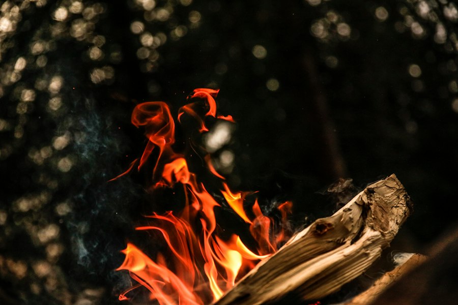
The ability to spot a distant smoke signal requires a keen eye, patience, and an understanding of how to scan the environment. What might appear as a distant cloud or mist can, upon closer inspection, reveal itself as a deliberate signal from someone in need. This involves training the eyes to recognize anomalies in the natural landscape.
The Art of Horizon Scanning
Effective horizon scanning involves systematically observing the entire visible horizon, not just looking at a fixed point. This is often done in sweeping motions, dividing the landscape into manageable sections and thoroughly examining each one. Trained trackers will look for any unnatural shapes or movements against the sky. This includes looking for plumes that rise and then appear to move in a consistent direction, as well as any colors that deviate from the natural greens and browns of the landscape. The human eye is remarkably adept at detecting contrast and patterns, and this skill can be honed to pick out the subtle signs of smoke.
Recognizing Anomalies in the Sky
Smoke plumes, even when dispersed, often present a visual anomaly against the clear blue of the sky or the grey of clouds. Rescuers are trained to look for anything that breaks the uniformity of the sky. This can include faint, greyish wisps, especially against a lighter sky, or darker, more defined plumes against a darker background. The way the smoke interacts with sunlight is also a clue; it might catch the light and appear brighter than the surrounding atmosphere, or it may cast a subtle shadow that is detectable from a distance. It’s not just about seeing smoke; it’s about seeing unnatural smoke.
Using Magnification and Observation Tools
While primitive tracking relies on natural vision, modern rescue efforts can augment this with tools. Binoculars are invaluable for scanning large areas and for confirming suspicions about distant phenomena. A spotting scope can offer even greater magnification, allowing for detailed examination of faint plumes. Even a simple magnifying glass can be useful in confirming the nature of a distant anomaly once it has been spotted. These tools don’t replace the fundamental observational skills but enhance their reach and precision.
From Sight to Search: Navigating Towards the Signal
Once a smoke signal has been spotted and identified as potentially indicating a lost individual, the next crucial step is to navigate towards it. This phase requires careful planning, consideration of terrain, and an understanding of how to maintain a bearing.
Estimating Distance and Direction
Estimating the distance to a smoke plume can be challenging, especially without any reference points. Several primitive techniques can be employed, such as observing the apparent size of known objects in the distance and comparing them to their actual size. However, the most reliable method often involves using the prevailing wind direction. If the tracker can establish the wind direction, they can orient themselves relative to the plume and then make educated guesses about the distance based on the plume’s perceived density and height. More importantly, establishing a consistent direction of travel towards the signal is key. This can be achieved by using natural landmarks, the sun’s position, or a compass if available.
Navigating Difficult Terrain
The path towards a smoke signal is rarely a straight line. Wilderness environments are often characterized by rugged terrain, dense vegetation, and natural obstacles. Rescuers must be adept at navigating these challenges while maintaining a bearing towards the signal. This involves choosing the most efficient and safest route, which may mean traversing steep slopes, crossing water bodies, or pushing through thick brush. The ability to read the landscape, identify potential hazards, and adapt the chosen route accordingly is essential. Maintaining a visual or mental line of sight to the signal, or to a series of intermediate landmarks that lead towards it, helps prevent disorientation.
Maintaining the Signal’s Integrity
As the search party moves closer to the potential source of the smoke signal, it is important to consider how their own presence might affect the signal. If the signal is coming from a lost individual, their fire might be a vital lifeline. Therefore, the search party must approach with caution, making noise to announce their presence well before reaching the camp, so as not to startle or frighten the occupants. This also allows the lost individuals to signal their location more precisely or to extinguish their signal fire if they feel threatened.
In the context of survival techniques, the innovative use of primitive campfire smoke tracking has proven to be a vital skill for rescuers in remote areas. This method not only aids in locating individuals in distress but also highlights the importance of traditional knowledge in modern rescue operations. For a deeper understanding of how such skills can be applied in various challenging situations, you might find the article on the ongoing struggles in Sudan particularly insightful, as it discusses the complexities of conflict and the resilience of communities. You can read more about it here.
The Human Element: Communication and Safety Protocols
| Metric | Description | Typical Values | Relevance to Rescue |
|---|---|---|---|
| Smoke Plume Height | Vertical height of smoke column above campfire | 1 – 5 meters | Higher plumes are more visible from distance, aiding location |
| Smoke Density | Concentration of particulate matter in smoke | Low to High (thin to thick smoke) | Thicker smoke is easier to detect visually and with sensors |
| Smoke Color | Color of smoke indicating fuel type and combustion quality | White to gray to black | White/gray indicates damp wood, black indicates incomplete combustion |
| Wind Speed | Speed of wind affecting smoke dispersion | 0 – 20 km/h | Higher wind disperses smoke quickly, reducing visibility range |
| Visibility Range | Distance at which smoke can be detected visually | Up to 3 km in clear conditions | Determines how far rescuers can spot smoke signals |
| Signal Duration | Length of time smoke is produced continuously | Minutes to hours | Longer duration increases chance of detection |
| Temperature of Fire | Heat output of campfire affecting smoke characteristics | 300 – 700 °C | Higher temperature can produce less smoke but more visible flames |
While smoke tracking is a primitive technique, its application in modern rescue scenarios necessitates adherence to established communication and safety protocols. The effectiveness of any rescue operation hinges on coordinated efforts and the well-being of all involved.
Coordinating with Rescue Teams
In organized search and rescue operations, the spotting of a smoke signal is immediately communicated to the incident command. This information is then disseminated to search teams in the vicinity. The exact location, direction of travel, and estimated distance to the signal are crucial pieces of information that help direct resources efficiently. Modern communication devices, even in remote areas, can often transmit GPS coordinates or brief radio messages, greatly aiding in this coordination. The goal is to ensure that multiple teams are not converging on the same point unnecessarily and that resources are being deployed strategically.
Safety Considerations for Trackers
The act of tracking smoke, especially in challenging terrain and potentially adverse weather conditions, carries inherent risks. Searchers must be equipped with appropriate gear, including navigation tools, first-aid supplies, and emergency shelters. They must also be trained in wilderness safety and survival techniques themselves. It is paramount that searchers do not become casualties themselves. This means operating in teams, maintaining regular communication with base camp, and making sound judgments about their own capabilities and the risks involved. The decision to pursue a smoke signal must always be weighed against the safety of the search party.
The Ethical Imperative of Rescue
Ultimately, the primitive campfire smoke tracking, when viewed through the lens of modern rescue, embodies a profound human instinct: the imperative to help those in need. It speaks to our ability to interpret the natural world and to use that understanding to connect with and assist fellow humans. In a world that can sometimes feel increasingly disconnected, this ancient practice serves as a powerful reminder of our shared vulnerability and our capacity for compassion and collective action. The rising plume of smoke, whether from a primal survival fire or a carefully orchestrated distress signal, remains a potent symbol of hope and a testament to the enduring power of human ingenuity in the face of adversity.