The construction of qanats, ancient underground aqueducts, represents a remarkable feat of engineering, particularly in their ability to harness and transport water over vast distances with minimal energy input. Central to the success of any qanat system is the meticulous determination of its gradient – the precise slope that allows water to flow gravitationally from its source to its destination. This article delves into the principles and practicalities of calculating the optimal gradient for qanat water flow, exploring the factors that influence this crucial design element and the methods employed by ancient engineers to achieve such enduring systems.
The Fundamental Principles of Gravitational Flow
At its core, the functionality of a qanat relies on the fundamental principle of gravity. Water, by its very nature, seeks the lowest point. When a qanat is constructed with a continuous downward slope, water naturally flows from the higher elevation of the source, often a groundwater aquifer or a spring, towards the lower elevation of the outlet, typically a village, agricultural field, or cistern. The effectiveness of this gravitational flow is directly proportional to the gradient, the rate at which the elevation decreases over a given horizontal distance. A steeper gradient will result in faster flow, while a gentler gradient will lead to a slower, more consistent movement of water.
Understanding Gradient as a Ratio
The gradient, in the context of qanat construction, is typically expressed as a ratio or a percentage. It represents the vertical drop for every unit of horizontal distance covered. For instance, a gradient of 1:100 means that for every 100 units of horizontal distance, the qanat drops by 1 unit vertically. Similarly, a gradient of 1% signifies a vertical drop of 1 unit for every 100 units of horizontal distance. While these expressions are mathematically equivalent, the ancient engineers likely relied on more intuitive methods, often relating perceived distances and observable vertical changes. The precision required, however, underscores the importance of a well-defined slope.
The Role of Water Velocity and Flow Rate
The calculated gradient directly influences the velocity of the water within the qanat. A steeper gradient results in higher velocity, leading to a greater flow rate (volume of water per unit time). Conversely, a gentler gradient yields a slower velocity and a lower flow rate. The optimal gradient, therefore, is a delicate balance. Too steep a gradient can lead to excessive erosion of the qanat’s channel, potentially causing collapses and siltation. Too shallow a gradient might result in insufficient flow, rendering the qanat impractical for its intended purpose, or even lead to stagnant water, promoting sedimentation and a loss of carrying capacity. The goal is to achieve a flow that is both consistent and non-erosive, ensuring the longevity and efficiency of the system.
For those interested in understanding the intricacies of qanat gradient calculation, a related article that delves into the environmental influences on water management systems can be found at this link. This resource provides valuable insights into how environmental factors affect the design and efficiency of qanat systems, enhancing the overall comprehension of their hydraulic performance.
Identifying the Ideal Slope: Balancing Efficiency and Stability
Determining the “optimal” gradient for a qanat is not a simple, one-size-fits-all calculation. It involves a complex interplay of hydrological, geological, and practical considerations. Ancient qanat builders, through generations of experience and observation, developed an intuitive understanding of these factors. Modern analysis allows us to quantify these considerations and appreciate the sophisticated decision-making involved. The ideal slope must ensure sufficient water delivery while safeguarding the structural integrity of the qanat over centuries of operation.
Source Water Availability and Depth
The nature of the water source significantly dictates the initial conditions and thus influences the required gradient. If the source is a deep aquifer, the initial vertical drop from the water table to the surface will be substantial. This provides a significant head of pressure and allows for a gentler overall qanat gradient. Conversely, if the qanat draws from a shallow spring or a surface water source that is only slightly elevated, a steeper gradient might be necessary to generate the required flow. The depth of the water table is a primary indicator of the potential energy available to drive the flow.
Terrain and Geological Stability
The topography of the land through which the qanat passes is a paramount concern. Undulating terrain, steep inclines, or areas prone to seismic activity present significant challenges. Engineers must carefully select a route that minimizes sharp changes in elevation and avoids unstable geological formations. A route with consistently gentle slopes is ideal, but often the terrain necessitates deviations and adjustments to the gradient. The goal is to maintain a generally downward trajectory without introducing excessive risks of structural failure. The stability of the soil and rock is crucial; a gradient too steep in an unstable region could lead to landslides or tunnel collapses.
Minimizing Evaporation and Seepage Losses
While qanats are primarily underground to mitigate evaporation, the gradient still plays a role in minimizing other water losses. A flow that is too slow can increase the residence time of water within the qanat, allowing more opportunity for seepage into the surrounding soil. Conversely, an excessively rapid flow might be harder to control at delivery points and could lead to unintended losses. The chosen gradient needs to strike a balance that ensures the water reaches its destination with minimal depletion along the way, a crucial consideration in arid and semi-arid regions where water is a precious resource.
Practical Methods for Gradient Determination
The determination of the qanat gradient was a practical, hands-on process for ancient engineers. They relied on readily available tools and keen observational skills to establish the necessary slopes. While modern technology offers greater precision, understanding the historical methods provides insight into the ingenuity of these ancient systems. These methods, though seemingly rudimentary, were remarkably effective in achieving their long-term objectives.
The Alidade and Dioptra: Ancient Surveying Tools
Tools such as the alidade (a straight edge with a sighting device) and the dioptra (a more sophisticated instrument for measuring angles and leveling) were likely employed. These instruments allowed engineers to sight across distances and measure vertical differences, enabling them to lay out the intended slope. By establishing a series of points along the proposed qanat line and measuring the elevation difference between them, they could incrementally construct the tunnel with the desired gradient. The accuracy of these tools, combined with the skill of the surveyors, was critical.
The Water Level and Simple String Measurements
Simpler methods, such as using a water level (a U-shaped tube filled with water) or even just plumb bobs and measured lengths of string, could also be employed for shorter distances or for verifying sections. The principle of water seeking its own level is a fundamental concept that would have been understood and utilized. By stretching a string taut between two points and measuring the vertical difference indicated by a water level or plumb bob at intermediate points, engineers could assess the consistency of the slope. These methods, while less precise than dedicated surveying instruments, offered a practical means of ensuring a general downward trend.
Trial and Error and Incremental Construction
It is highly probable that the construction process itself involved elements of trial and error. Engineers would have started at the source and incrementally excavated sections of the qanat, constantly checking and adjusting the slope based on observations of water flow in newly completed sections. The ability to adapt and correct during construction was essential, especially when encountering unforeseen geological conditions or variations in terrain. The gradual nature of qanat construction, often extending over many years or even decades, allowed for such adjustments.
Calculating the Gradient for Optimal Flow Dynamics
Modern hydrological principles and fluid dynamics provide a more quantitative approach to understanding and calculating the optimal qanat gradient. While ancient engineers relied on empirical knowledge, contemporary analysis can inform design decisions and optimize existing systems. This scientific understanding allows for a more precise determination of the ideal slope to achieve desired flow rates while mitigating potential problems.
Darcy-Weisbach Equation and Manning’s Formula
For calculating flow velocity in open channels, including qanats, engineers often employ empirical formulas like Manning’s formula. This formula relates flow velocity to the channel’s slope, hydraulic radius, and a roughness coefficient (Manning’s n), which accounts for the friction of the channel walls. The Darcy-Weisbach equation, a more fundamental fluid dynamics equation, can also be applied, considering friction losses due to the pipe geometry and flow characteristics. These formulas allow for the prediction of flow rates at different gradients and for various channel conditions, enabling engineers to select a gradient that achieves the target flow volume without excessive velocity.
Erosion Potential and Sediment Transport
A critical aspect of gradient calculation is managing the risk of erosion and sediment transport. As mentioned, excessively steep gradients can lead to high water velocities that scour the qanat bed and walls. The critical velocity for erosion depends on the material of the qanat lining and the size of sediment particles present. Conversely, if the gradient is too gentle, suspended sediment may settle out, leading to siltation and a reduction in the qanat’s capacity. Therefore, the optimal gradient must be a compromise that minimizes both erosive scour and detrimental sedimentation. This often involves selecting a gradient that maintains a flow velocity just sufficient to keep fine sediments in suspension but not so high as to dislodge larger particles or erode the channel lining.
Maintaining a Consistent Downward Slope
The most fundamental aspect of gradient calculation is ensuring a consistent downward slope from the source to the destination. Even minor undulations or upward slopes in a qanat can impede flow and create problems. Modern surveying techniques, including GPS and laser leveling, can achieve remarkable precision in establishing and verifying this consistent gradient. For ancient qanats, this was achieved through diligent application of their available tools and a deep understanding of the principles of gravity and water flow. The very definition of a qanat implies a continuous descent.
In the context of qanat gradient calculation, understanding the principles of water flow and management is crucial for effective irrigation in arid regions. A related article that delves into innovative approaches in resource management can be found at this link, which discusses how modern technologies are transforming supply chains and resource allocation. By exploring such advancements, we can gain insights that may enhance traditional methods like qanat systems, ultimately leading to more sustainable practices in water conservation.
Case Studies and Historical Successes
| Parameter | Description | Typical Value / Range | Unit | Notes |
|---|---|---|---|---|
| Qanat Length (L) | Total horizontal length of the qanat tunnel | 500 – 5000 | meters | Depends on water source and terrain |
| Vertical Drop (H) | Elevation difference between the water source and outlet | 5 – 50 | meters | Determines flow velocity |
| Gradient (S) | Ratio of vertical drop to length (H/L) | 0.001 – 0.01 | dimensionless | Optimal gradient ensures steady flow without erosion |
| Flow Rate (Q) | Volume of water flowing per unit time | 0.01 – 0.1 | cubic meters per second | Depends on gradient and qanat dimensions |
| Cross-sectional Area (A) | Area of qanat tunnel cross-section | 0.1 – 1.0 | square meters | Influences flow capacity |
| Hydraulic Radius (R) | Ratio of cross-sectional area to wetted perimeter | 0.05 – 0.3 | meters | Used in flow calculations |
| Manning’s Roughness Coefficient (n) | Coefficient representing channel roughness | 0.015 – 0.03 | dimensionless | Typical for earthen tunnels |
| Flow Velocity (V) | Speed of water flow in the qanat | 0.1 – 1.0 | meters per second | Calculated using Manning’s equation |
The enduring legacy of qanats across the globe stands as a testament to the effectiveness of ancient gradient calculations. From the arid regions of Iran and the Middle East to North Africa and even parts of Spain, these systems have supplied water for millennia, supporting agriculture, urban development, and human life. Examining specific examples can offer valuable insights into the practical application of gradient principles.
The Qanats of Iran: Masters of the Desert
Iran boasts perhaps the most extensive and well-preserved qanat systems in the world, with some dating back over 2,500 years. The engineering prowess demonstrated in these systems, particularly the precise gradient calculations, is astounding. For example, the qanat of Ghasabeh in Gonabad is over 75 kilometers long and has been continuously supplying water to the region for centuries. The average gradient of such long qanats is remarkably consistent, often in the range of 0.5% to 1%. This gentle slope ensures a slow, steady flow, minimizing evaporation and erosion over the vast distances. The success of these Iranian qanats highlights the ability of ancient engineers to balance gradient, length, and terrain to create sustainable water infrastructure.
North African and Andalusian Qanats: Adapting to Diverse Terrains
In North Africa and parts of Spain, qanat construction, often referred to as “foggaras” or “qanawat,” also showcases remarkable gradient management. These systems often had to contend with more varied and challenging terrains than those found in the flatter deserts of Iran. Engineers in these regions demonstrated ingenuity in their route selection and gradient adjustments, sometimes employing siphons or steeper drops over short distances to overcome topographical obstacles. Despite these variations, the fundamental principle of a sustained downward slope remained paramount. The adaptation of the qanat system to different environmental conditions further underscores the flexibility and robustness of the underlying engineering principles.
The Longevity Factor: A Proof of Optimal Design
The most compelling evidence for the accuracy of ancient qanat gradient calculations is their longevity. Many of these systems continue to function, albeit often in a diminished capacity, after thousands of years. This durability is a direct consequence of careful design, which includes selecting gradients that prevented catastrophic erosion or structural collapse. The optimal slope ensured that water flowed efficiently without undermining the integrity of the structure, allowing these vital arteries of water to persist through the rise and fall of civilizations. The fact that these ancient systems are still studied and, in some cases, revitalized speaks volumes about the wisdom embedded in their original design, particularly in the calculated slope that dictated their function.
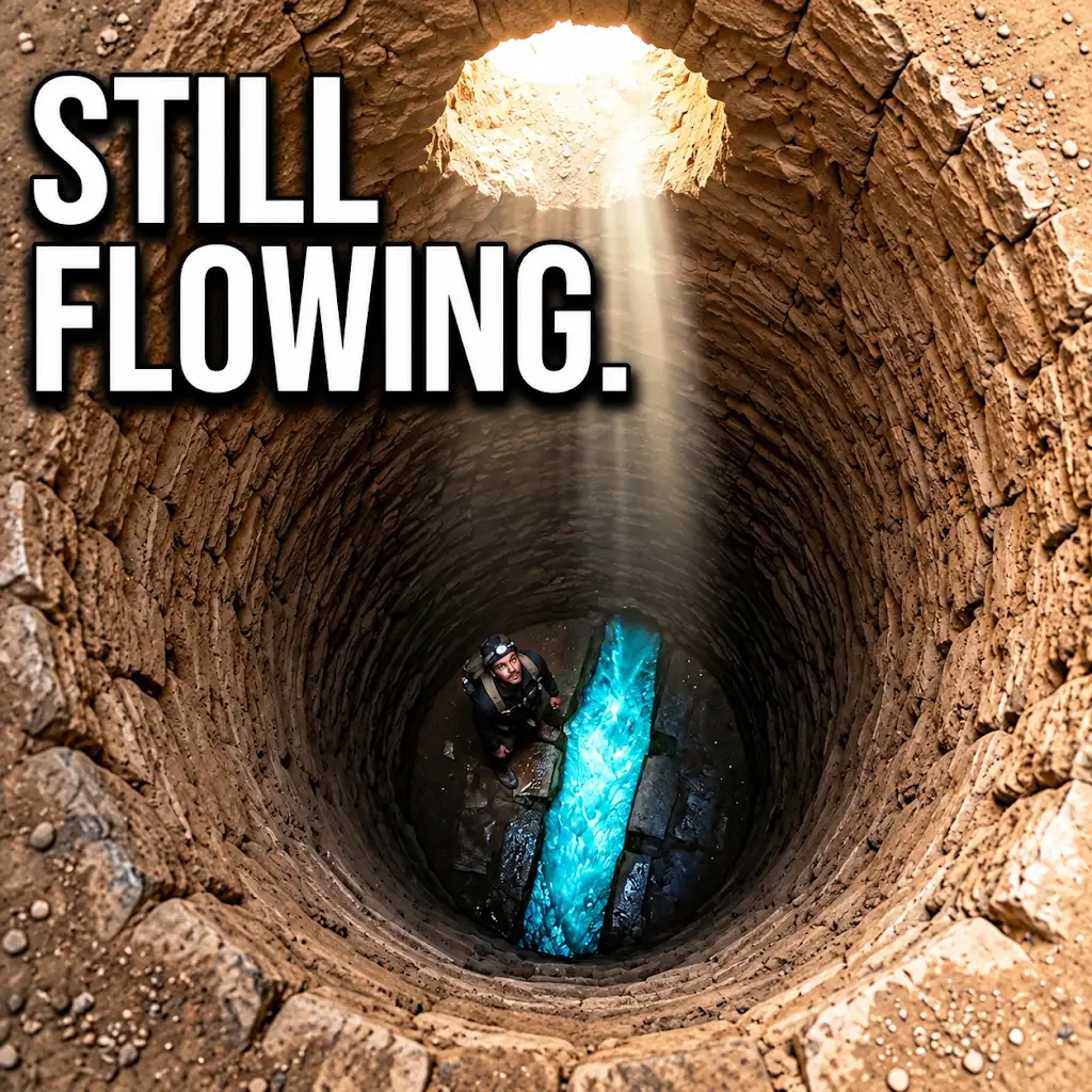
They Dug Water Tunnels Under the Desert… And They Still Flow
FAQs
What is a qanat?
A qanat is an underground water management system used to transport water from an aquifer under a hill to the surface for irrigation and drinking purposes.
How is the gradient of a qanat calculated?
The gradient of a qanat is calculated by measuring the difference in elevation between the entrance (mother well) and the exit (terminus) of the qanat, and dividing this by the length of the qanat.
Why is it important to calculate the gradient of a qanat?
Calculating the gradient of a qanat is important to ensure that water flows efficiently through the system, preventing stagnation and ensuring proper distribution to the intended areas for irrigation or drinking.
What factors can affect the gradient of a qanat?
Factors such as the geological characteristics of the terrain, the length of the qanat, and the volume of water being transported can all affect the gradient of a qanat.
How can the gradient of a qanat be optimized for maximum efficiency?
The gradient of a qanat can be optimized by carefully selecting the location of the mother well and terminus, ensuring proper maintenance of the qanat system, and regularly monitoring the flow of water to make any necessary adjustments.