The Deception of Empty Land on Maps
Maps, those seemingly straightforward representations of our world, often present a stark and deceiving truth: the presence of “empty land.” This designation, applied to vast swathes of territory across continents and islands, suggests a void, a lack of human presence and significance. However, to interpret these blank spaces as truly devoid of life, history, or potential is to fall prey to a profound cartographic deception. The very act of labeling land as “empty” often masks complex realities, reflecting colonial narratives, a narrow definition of human activity, and a failure to consider ecological and cultural richness. We invite you to delve deeper, to look beyond the vacant brushstrokes and understand that what appears as emptiness on paper is, in reality, often a vibrant tapestry woven with untold stories.
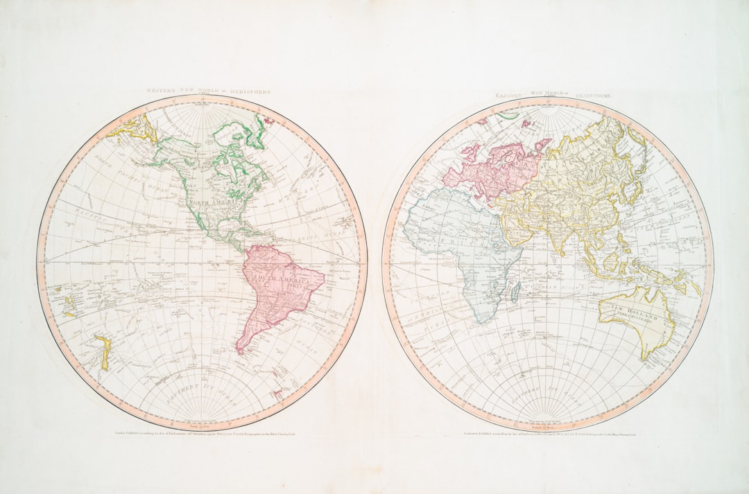
The notion of “empty land” is not a neutral cartographic observation but a concept deeply embedded in historical power dynamics and colonial ambition. The blank spaces on early maps were often mirrors reflecting the desires and prejudices of those who drew them, serving as potent psychological tools to justify expansion and conquest.
Discovering the “New World” and the Absence of European Presence
When European explorers first encountered the Americas, their maps often depicted these lands as uncharted wilderness, devoid of any prior human civilization. This cartographic conceit conveniently overlooked the existence and sophistication of Indigenous societies that had populated these continents for millennia. The term “terra nullius,” meaning “nobody’s land,” became a legal and ideological justification for claiming sovereignty over territories already inhabited.
The Scramble for Africa and the Illusion of Unoccupied Territories
Similarly, the late 19th-century Scramble for Africa saw European powers carving up the continent, often with little regard for existing political boundaries or ethnic divisions. Maps produced during this era frequently showed vast inland areas as unspecified or featureless, implying they were ripe for the taking. This “empty land” was, of course, teeming with diverse cultures, economies, and political structures that were simply not recognized or valued by the colonial powers.
The Frontier Mentality and the Myth of the Untamed Wilderness
The concept of the frontier, prevalent in the expansion of nations like the United States and Australia, also contributed to the idea of empty land. These narratives often emphasized the perceived lack of settled civilization and the opportunity for pioneers to forge a new future. The presence of Indigenous peoples was frequently relegated to smaller, marginalized territories or depicted as obstacles to progress, rather than as integral inhabitants of the land.
Maps have long been considered reliable representations of our world, but recent discussions highlight how they can misrepresent uninhabited land, often overlooking the complexities of territorial claims and environmental changes. An insightful article that delves into the implications of mapping in the context of space exploration is available at Navigating the Future: Cislunar Space Traffic Management. This piece underscores the importance of accurate mapping not just on Earth, but also in the emerging realms of cislunar space, where uncharted territories could lead to misunderstandings and conflicts similar to those experienced on our planet.
Redefining “Human Presence”: Beyond Settled Agriculture
A primary reason for the designation of land as “empty” lies in a limited, Western-centric definition of what constitutes human presence. This definition frequently prioritizes settled, agricultural societies with permanent structures and recognizable towns and cities. Many forms of human activity, particularly those of nomadic or semi-nomadic peoples, or those deeply integrated with natural ecosystems, are rendered invisible by this narrow lens.
Nomadic Lifestyles and the Seasonal Rhythms of Life
Consider the vast arid and semi-arid regions of the world, such as the Sahel in Africa or the Outback in Australia. These areas have been home to nomadic or pastoralist communities for centuries. Their lives are dictated by the seasonal availability of water and pasture, requiring constant movement. Their settlements, if they exist, are often temporary and portable. Maps that do not account for these fluid movements and temporary habitations can easily depict these lands as vacant, failing to recognize the deep knowledge and sustainable practices of their inhabitants.
Indigenous Knowledge Systems and Sustainable Land Management
Indigenous peoples across the globe possess intricate knowledge systems developed over generations of living in and with their environments. Their land management practices, from traditional burning techniques to sophisticated water management, sustain biodiversity and create what might appear to be a “wild” landscape to the untrained eye. The “emptiness” on maps, therefore, can be a profound misinterpretation of ecological stewardship, where human presence is not marked by concrete but by a symbiotic relationship with nature.
Hunter-Gatherer Societies and Their Transcendent Relationship with the Land
In regions like the Amazon rainforest or the Arctic, hunter-gatherer societies have long thrived by understanding and utilizing the natural resources of their territories. Their presence is often transient, marked by temporary camps and hunting grounds. The vastness of their territories and the subtlety of their impact can lead to their lands being labeled “empty” by external observers who fail to recognize their deep ecological connection and sustainable coexistence.
Ecological Significance: The Richness of “Empty” Spaces

The land labeled as empty is rarely ecologically barren. In fact, these seemingly unoccupied territories often represent crucial habitats for biodiversity, vital ecosystems, and natural resources that are essential for the planet’s health. The designation of “empty” risks overlooking their intrinsic value and can lead to their exploitation or destruction.
Biodiversity Hotspots and Untamed Ecosystems
Many of the Earth’s most biodiverse regions are precisely those deemed “empty” on conventional maps. The Amazon rainforest, the Congo Basin, and the vast Siberian taiga are all characterized by immense ecological richness, supporting a staggering array of plant and animal life. To consider these areas empty is to ignore the vibrant web of life that sustains them and the critical role they play in regulating global climate.
Carbon Sinks and Climate Regulation
Forests, wetlands, and other seemingly “empty” landscapes act as vital carbon sinks, absorbing greenhouse gases from the atmosphere and playing a critical role in mitigating climate change. The destruction or degradation of these areas, often facilitated by the perception of them as undeveloped or underutilized, has significant global ramifications.
Water Catchment Areas and Natural Resources
Vast expanses of mountainous terrain, remote plateaus, and untouched river systems, often appearing as blank canvases on maps, are crucial water catchment areas. They are the sources of rivers that sustain agriculture and provide drinking water to millions. Their ecological integrity is paramount, and their “emptiness” should be understood as a sign of their vital ecological function, not their lack of importance.
The Post-Colonial Re-evaluation of Cartographic Narratives

As the legacies of colonialism are increasingly examined, so too is the way in which maps have been used to construct and perpetuate colonial ideologies. A post-colonial perspective demands a re-evaluation of what constitutes “presence” and a recognition of the historical injustices embedded in cartographic representations.
Challenging the Language of “Discovery” and “Uninhabited”
Contemporary scholarship actively scrutinizes terms like “discovery” and “uninhabited” as they relate to lands that were, in fact, known and populated by Indigenous peoples. The act of re-naming geographical features and redrawing maps from an Indigenous perspective is a crucial aspect of decolonizing cartography.
Indigenous Cartography and Alternative Representations
Indigenous communities are increasingly developing their own maps, which often reflect different ways of understanding space, place, and human relationship with the environment. These alternative representations challenge the dominant narratives of empty land and offer a more nuanced and accurate portrayal of human presence and ecological significance.
The Economic and Political Implications of “Empty Land”
The designation of land as “empty” has profound economic and political implications. It can justify resource extraction, land grabs, and the displacement of existing communities under the guise of development. Recognizing the true nature of these lands is essential for equitable resource management and the recognition of Indigenous land rights.
Maps have long been considered reliable tools for understanding our world, yet they can sometimes misrepresent uninhabited land, leading to misconceptions about its true nature. A fascinating exploration of this phenomenon can be found in the article about the Piri Reis map, which delves into the mysteries surrounding ancient cartography and its implications for our understanding of uncharted territories. For those interested in how historical maps may distort our perception of land, this article offers valuable insights into the complexities of mapping and the hidden narratives behind seemingly empty spaces. You can read more about it in this intriguing article.
The Future of “Empty Land”: Conservation, Development, and Indigenous Rights
| Metric | Description | Impact on Perception | Example |
|---|---|---|---|
| Map Scale Distortion | Smaller scale maps generalize land features, often omitting small inhabited areas. | Leads to false assumption that certain areas are uninhabited. | Greenland’s small settlements not shown on world maps. |
| Data Outdatedness | Maps based on old data may not reflect recent habitation or land use changes. | Areas marked as uninhabited may now have settlements. | Desert regions with new mining camps missing from maps. |
| Political Bias | Some maps omit or alter inhabited areas due to territorial disputes or political agendas. | Misrepresentation of population distribution and land ownership. | Disputed border zones shown as empty land. |
| Satellite Imagery Limitations | Cloud cover, vegetation, or resolution limits can hide small settlements. | False classification of inhabited land as uninhabited. | Dense forest villages not visible in satellite maps. |
| Definition of ‘Inhabited’ | Maps may only mark permanent settlements, ignoring seasonal or nomadic populations. | Underrepresentation of human presence in certain regions. | Nomadic camps in the Sahara not shown on maps. |
The perception of “empty land” continues to shape contemporary debates around conservation, development, and the rights of Indigenous peoples. Moving forward, a more informed and ethical approach is required to ensure that these vital territories are not misrepresented, exploited, or ignored.
Conservation Efforts and the Protection of Undeveloped Territories
Many of the world’s remaining wilderness areas, often depicted as empty, are now recognized as critical for biodiversity conservation. International and national conservation efforts aim to protect these regions from exploitation, acknowledging their immense ecological value.
Sustainable Development and Respect for Existing Communities
When development is pursued in areas previously labeled as empty, it is crucial that it is undertaken sustainably and with the full consent and participation of any existing Indigenous or local communities. Ignoring their presence and rights perpetuates the historical deception.
Recognizing Indigenous Sovereignty and Land Tenure
A fundamental aspect of addressing the deception of empty land is the recognition of Indigenous sovereignty and land tenure. This involves acknowledging their historical and ongoing connection to the land, their right to self-determination, and their role as stewards of these territories. Ultimately, what appears as emptiness on a map is a profound testament to human oversight and a call for a more nuanced understanding of our shared planet. The blank spaces are not voids, but rather landscapes rich with history, ecological significance, and the enduring presence of peoples whose stories have too long been untold or deliberately unmapped.
FAQs
1. Why do maps sometimes show uninhabited land inaccurately?
Maps can be inaccurate due to outdated data, limited satellite imagery, or errors in cartographic interpretation. Uninhabited areas may be misrepresented because of changes in land use, natural events, or lack of detailed surveys.
2. How do cartographers gather information about uninhabited land?
Cartographers use satellite imagery, aerial photography, ground surveys, and geographic information systems (GIS) to collect data. However, remote or inaccessible regions may have less frequent or lower-quality data collection, leading to inaccuracies.
3. Can political or economic interests influence how uninhabited land is depicted on maps?
Yes, political boundaries, territorial claims, and economic interests can affect map representations. Some maps may intentionally omit or alter details about uninhabited areas to support national claims or resource exploitation.
4. What impact do inaccurate maps of uninhabited land have on environmental and scientific research?
Inaccurate maps can hinder environmental monitoring, conservation efforts, and scientific studies by providing misleading information about ecosystems, biodiversity, and land conditions. This can affect policy decisions and resource management.
5. How can users verify the accuracy of maps showing uninhabited land?
Users can cross-reference multiple sources, including updated satellite data, government surveys, and reputable mapping services. Consulting recent scientific studies and local knowledge can also help verify the accuracy of map information.