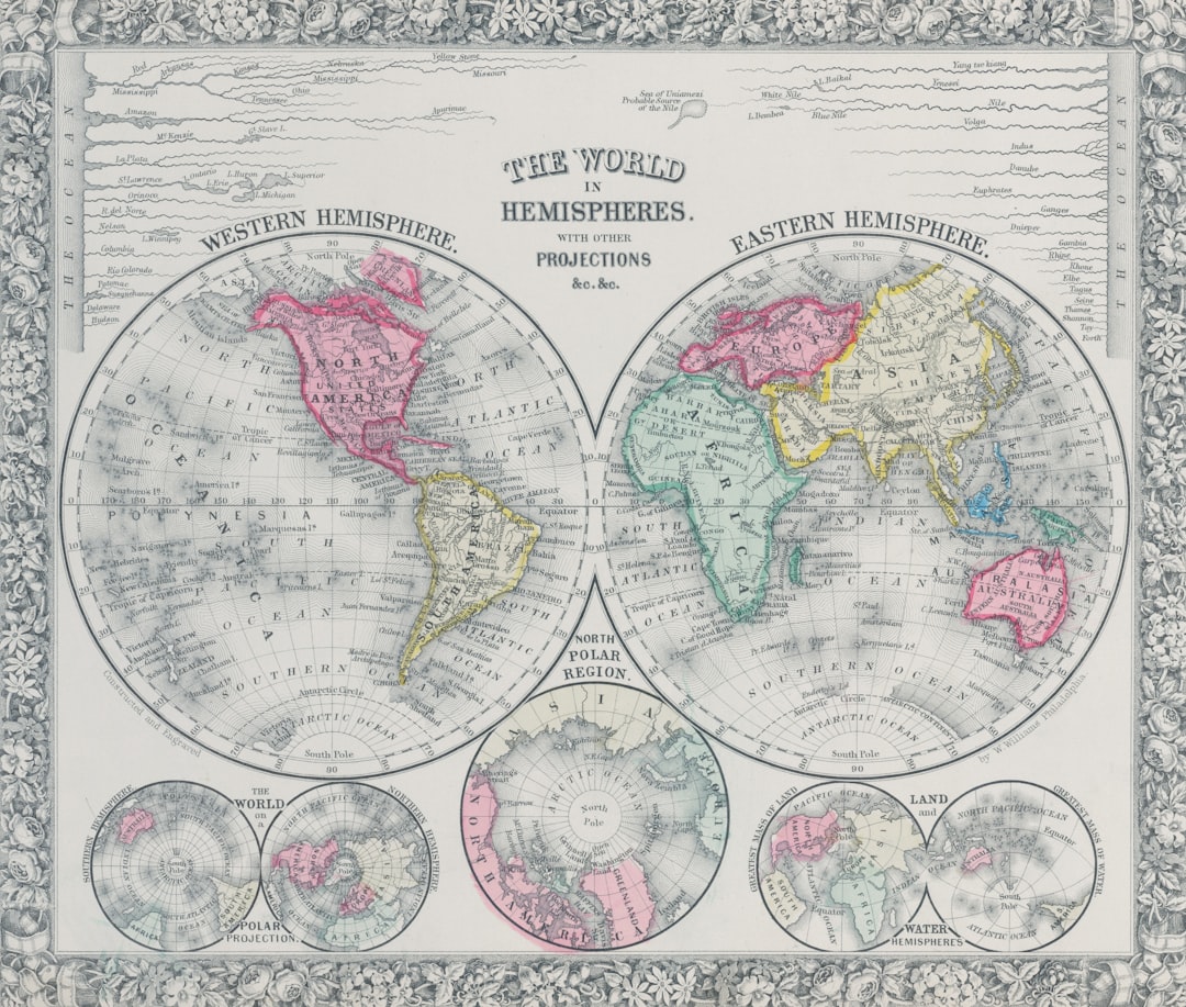
The deliberate destruction or systemic alteration of old world maps represents a phenomenon transcending mere negligence or the ravages of time. Instead, it often signifies a calculated maneuver, a sophisticated stratagem employed by nascent powers, expanding empires, or ideologically driven regimes to reshape historical narratives, legitimize territorial claims, and consolidate control over their populations. This article delves into the various motivations behind such acts, exploring the methodologies employed and the profound, long-lasting consequences these actions have had on our understanding of history and geography. Imagine, if you will, the world as a vast, complex tapestry. The maps of old are not merely threads but the very patterns, the lines that define the figures and scenes interwoven within it. When these patterns are intentionally unravelled or re-stitched, the entire fabric of our perception changes.
Maps, fundamentally, are not objective representations of reality. They are interpretations, imbued with the biases, perspectives, and political agendas of their creators and patrons. In pre-modern and early modern periods, the ability to accurately survey and delineate territories was a privilege often reserved for the elite, intertwined with military might and economic prowess. A map, therefore, became a potent symbol of authority, a visual declaration of dominion.
The Power of Naming and Renaming
One of the most immediate and visible forms of cartographic manipulation involves the alteration of place names. A new regime, seeking to erase the vestiges of its predecessors, often embarks on a widespread campaign of renaming. This process is not merely semantic; it fundamentally reconfigures the memory of a place, disconnecting it from its historical roots and anchoring it to the present power structure.
- Erasing Indigenous Heritage: Colonial powers, for instance, frequently imposed European place names on indigenous lands, effectively dispossessing the original inhabitants not only of their territory but also of their linguistic and cultural identity. The rich tapestry of local names, often reflecting deep ecological knowledge or spiritual significance, was systematically overwritten.
- Ideological Transformation: Revolutionary governments or totalitarian regimes often rename cities, regions, and even natural features to reflect their core ideologies or to honor revolutionary figures. Petrograd became Leningrad, then St. Petersburg – each name a signpost marking a profound shift in political landscape and national identity.
Redrawing Borders: The Illusion of Natural Divides
Borders on maps are not natural phenomena; they are artificial constructs, often the product of conquest, treaty, or arbitrary decree. The redrawing of these lines, especially when past cartographic evidence contradicts new claims, becomes a crucial tool for consolidating and legitimizing territorial ambitions.
- Post-Colonial Scramble: The arbitrary lines drawn across Africa and other colonial territories during the “Scramble for Africa” and similar periods were often mapped with little regard for existing ethnic, linguistic, or historical boundaries. These hastily conceived borders, reflecting European power dynamics rather than local realities, continue to fuel conflicts and instability in the present day.
- Imperial Expansion and Contraction: As empires expanded and contracted, their cartographic representations were meticulously updated to reflect new acquisitions or losses. However, older maps depicting different configurations were often suppressed or reinterpreted to align with the dominant narrative, obscuring past territorial realities.
Throughout history, many old world maps were destroyed due to various factors, including political upheaval, natural disasters, and the evolving understanding of geography. The loss of these maps not only represents a significant gap in our historical knowledge but also reflects the cultural and societal shifts of their time. For a deeper insight into how historical events, such as famines, have shaped our understanding of the past, you can explore the article on archaeological insights into ancient famine at this link.
Motives Behind Cartographic Annihilation
The destruction of old world maps is rarely a random act. It typically serves a spectrum of strategic objectives, ranging from the overtly political to the more subtly ideological. Understanding these motives is crucial for discerning the true nature of cartographic alteration.
Erasing Precedent and Undermining Claims
One primary motive behind the destruction of older maps is to eliminate historical precedent that might challenge current territorial claims or political narratives. If a map contradicts a state’s current conception of its borders or its historical lineage, its continued existence can be seen as a threat.
- Disputed Territories: In areas of ongoing territorial disputes, maps from different historical periods can become potent evidence. The destruction of maps favoring an opposing claim, or the selective promotion of maps aligning with one’s own, becomes a crucial tactic in these struggles.
- Suppressing Historical Narratives: Regimes built on revisionist histories often find older maps problematic. These maps might depict empires or cultural spheres that contradict the preferred narrative of national purity or continuous ethnic homogeneity. Erasing these cartographic records becomes a way to bolster a manufactured past.
Legitimizing New Regimes and Ideologies
For new regimes, particularly those that have come to power through revolution or conquest, the destruction of old maps and the creation of new ones is a powerful act of self-legitimization. It symbolically wipes the slate clean, establishing a new cartographic order that reflects their ascendancy.
- Post-Revolutionary Cartography: Following successful revolutions, new governments often commission entirely new sets of maps. These maps incorporate new administrative divisions, reflect changes in political centers, and often emphasize the ideological tenets of the new regime through iconography and nomenclature.
- The “Blank Slate” Fallacy: The desire to create a “blank slate” and project an image of absolute newness often leads to the systematic removal of cartographic remnants of the old order. This serves to break the continuity with the past, encouraging citizens to forget previous affiliations and embrace the new.
Throughout history, many old world maps were destroyed due to various factors including political upheaval, cultural shifts, and the desire to erase certain historical narratives. The loss of these maps not only represents a physical destruction of knowledge but also reflects the changing priorities of societies over time. For a deeper understanding of how external influences can shape and sometimes erase historical records, you might find this article on the role of private companies in military space infrastructure particularly insightful. It explores the intersection of technology and history, shedding light on how modern developments can impact our understanding of the past. You can read more about it here.
Consolidating Internal Control and National Identity
Beyond external territorial claims, cartographic manipulation can be a potent tool for internal control and the forging of a unified national identity. By presenting a consistent, curated vision of the nation’s geography and history, regimes can reinforce a sense of shared belonging and loyalty.
- Homogenizing Diversity: In multi-ethnic or diverse societies, maps can be used to downplay regional differences or the historical presence of minority groups. By omitting or minimizing certain features, maps can contribute to a narrative of national homogeneity, even if it contradicts lived realities.
- Propagandistic Cartography: Maps can be utilized as a direct form of propaganda, depicting the nation as vast, powerful, and unified, even if such claims are exaggerated. The strategic inclusion of symbolic imagery or the omission of inconvenient geographical realities can serve to instill national pride and obedience.
Methodologies of Obliteration
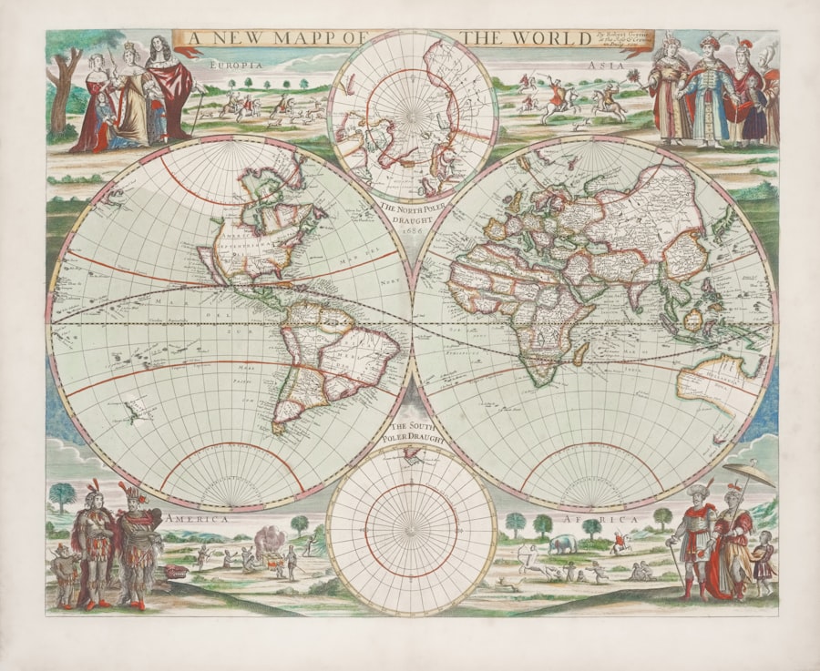
The destruction of maps is not always a dramatic, fire-and-brimstone affair. It can be a subtle, insidious process, far more akin to the erosion of memory than to a sudden cataclysm. Understand the methodologies employed sheds light on the deliberate nature of these acts.
Physical Destruction and Suppression
The most straightforward method is the outright physical destruction of existing maps. This can range from the burning of cartographic archives to the systematic confiscation and shredding of maps deemed politically inconvenient.
- Targeted Raids and Confiscations: Victorious armies or new administrations might conduct raids on libraries, archives, and private collections, seizing and destroying maps that depict the former regime’s territories or ideology. This act is often symbolic of the complete overthrow of the old order.
- Library Purges and Censorship: Under totalitarian regimes, libraries, the custodians of knowledge, often become targets. Maps that contradict official narratives are removed from circulation, making them inaccessible to the public and effectively erasing them from the collective memory.
Erasure and Alteration of Existing Maps
Rather than outright destruction, a more subtle and equally effective method involves the alteration of existing maps. This can range from crude overwriting to sophisticated redrawing, aiming to modify maps without leaving obvious traces of their original form.
- Ink and Paint Overlays: In less technologically advanced periods, cartographers might literally paint over sections of existing maps, changing borders, names, or even geographical features. The original information, though obscured, might still exist underneath for a keen eye.
- Re-engraving and Plate Modification: For printed maps, the original printing plates themselves could be altered. Names could be changed, borders redrawn, or entire regions reconfigured, leading to new editions that, once widely distributed, would effectively supersede the older, “incorrect” versions.
The Power of Omission: What Isn’t There
Perhaps the most insidious form of cartographic destruction is the power of omission. By simply not depicting certain features, places, or historical boundaries, new maps can effectively erase them from the public consciousness, creating a vacuum that new narratives can readily fill.
- Forgotten Peoples and Places: Indigenous territories, politically inconvenient settlements, or ethnic enclaves can be simply left off new maps, gradually leading to their marginalization and eventual disappearance from official geographic recognition.
- Suppressing Historical Depth: When maps consistently omit historical layers of information – ancient kingdoms, previous administrative divisions, or the full extent of past territorial claims – they create a present-centric view that serves to legitimize current power structures.
The Long Shadow: Consequences and Reverberations
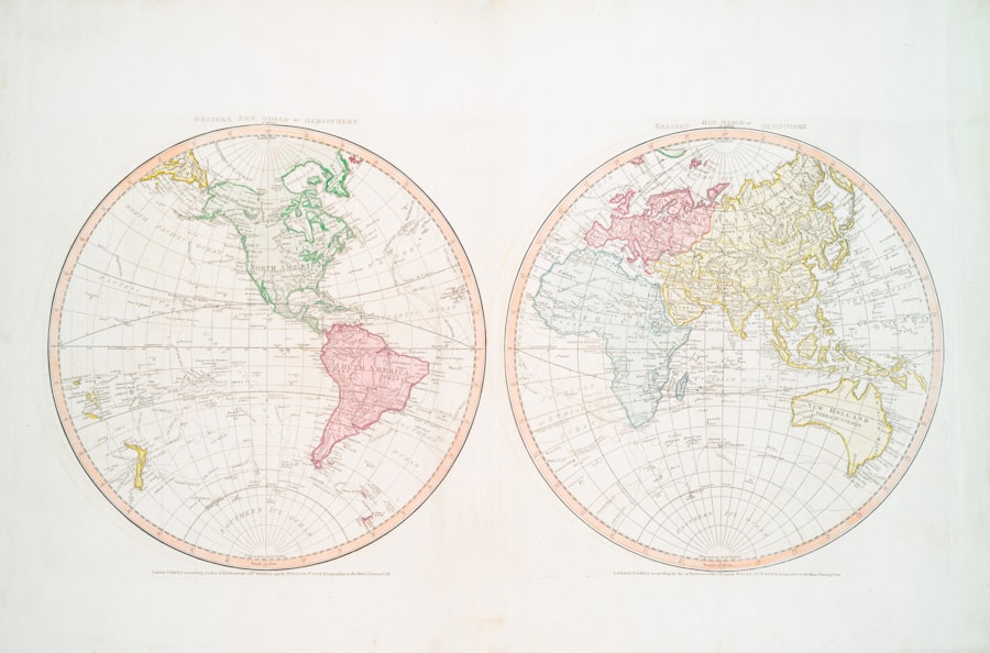
The destruction of old world maps casts a long shadow, its consequences extending far beyond the immediate political or ideological gains. These acts fundamentally distort our understanding of history, fueling present-day conflicts and severing vital connections to the past.
Historical Revisionism and Disinformation
One of the most profound consequences is the proliferation of historical revisionism. When original cartographic evidence is destroyed or manipulated, it becomes easier to construct alternative histories that serve contemporary political agendas. This can lead to widespread disinformation and a distorted public understanding of the past.
- Fueling Nationalistic Narratives: Manipulated maps can be powerful tools for fostering aggressive nationalism, by presenting a fabricated history of territorial rights or ethnic dominance that can be used to justify expansionist policies or discrimination against minority groups.
- The Loss of Nuance and Complexity: The simplification and homogenization inherent in manipulated maps invariably lead to a loss of the rich nuance and complexity of historical geography. Diverse pasts are flattened into a singular, state-approved narrative.
Unresolved Territorial Disputes and Conflict
The intentional destruction or suppression of maps often exacerbates existing territorial disputes or even ignites new ones. When claims are based on incomplete or manipulated cartographic evidence, finding common ground for resolution becomes exceedingly difficult.
- The Problem of “Original” Maps: In many border disputes, the search for “original” or “definitive” maps becomes a central preoccupation. If these maps have been intentionally destroyed, the historical basis for claims becomes murky, often leading to protracted and violent conflicts.
- Propaganda in Border Conflicts: Both sides in a territorial dispute will often produce and promote their own maps, which invariably reflect their claims. The deliberate destruction of maps that contradict these claims further entrenches positions and makes diplomatic solutions harder to achieve.
Erosion of Cultural Memory and Identity
Perhaps the most tragic consequence is the erosion of cultural memory and identity, particularly for marginalized groups whose history and presence have been actively erased from official cartographic records. This act of cartographic violence can have devastating psychological and social impacts.
- Disconnection from Heritage: When indigenous place names are replaced, or historical settlements are omitted from maps, communities can lose a vital connection to their heritage and ancestral lands. This contributes to a sense of dispossession and cultural alienation.
- The “Unmaking” of Peoples: For groups whose very existence or historical presence is denied on maps, it can be an experience of literal “unmaking.” It suggests that their history is not valid, their lands not truly theirs, and their identity not recognized by the dominant power.
In conclusion, the destruction of old world maps is far more than an academic curiosity; it is a profound political act, a struggle for control over not just territory, but over memory itself. To recognize this phenomenon, dear reader, is to understand that maps are not mere inert documents. They are living declarations, often serving as weapons in the silent but ceaseless war for historical narratives and political legitimacy. When these declarations are nullified, burned, or rewritten, the very foundations of our shared understanding of the world are irrevocably shaken, leaving behind a distorted landscape where the echoes of lost histories often continue to resonate in contemporary conflicts.
WATCH NOW ▶️ WARNING: They Erased The World Before Us
FAQs
Why were many old world maps destroyed?
Many old world maps were destroyed due to factors such as wars, natural disasters, deliberate censorship, and the fragile materials they were made from, which made them susceptible to decay over time.
Did political reasons contribute to the destruction of old maps?
Yes, political reasons often played a role. Some maps were destroyed or altered to hide territorial claims, suppress certain knowledge, or control information during conflicts and regime changes.
Were old maps destroyed because of changes in geographic knowledge?
In some cases, yes. As geographic knowledge improved, outdated maps were sometimes discarded or destroyed to prevent the spread of inaccurate information.
How did natural disasters affect the preservation of old maps?
Natural disasters such as fires, floods, and earthquakes destroyed many historical archives and libraries where old maps were stored, leading to the loss of numerous valuable cartographic records.
Are there efforts to preserve old world maps today?
Absolutely. Museums, libraries, and archives around the world actively work to preserve, restore, and digitize old maps to protect them from further deterioration and to make them accessible for research and education.