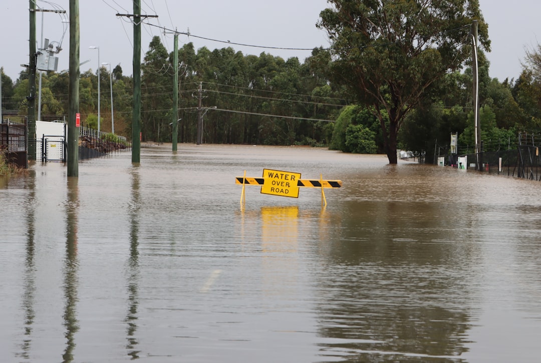
The 19th century, a period often characterized by rapid industrialization and scientific advancement, also bore witness to numerous catastrophic natural events. Among these, the concept of a “Great Flood” recurring across various regions has long captivated historians and geologists alike. While the biblical narrative of a singular, global deluge remains a subject of theological interpretation, the 1800s present a canvas upon which numerous localized, yet devastating, flood events were painted. This article endeavors to illuminate the compelling evidence, both historical and geological, that points to a series of significant flood phenomena during this tumultuous century, exploring their causes, impacts, and lingering legacies.
The 19th century was not an anomaly in terms of climatic variability. However, a confluence of evolving weather patterns and inherent geographical vulnerabilities amplified the destructive potential of precipitation. Understanding this environmental backdrop is crucial to appreciating the scale of the floods under consideration.
Shifting Climates and Increased Precipitation
- Little Ice Age’s Aftermath: The tail end of the Little Ice Age, a period of cooler global temperatures lasting from the 14th to the 19th century, profoundly influenced climatic conditions at the turn of the 1800s. As the planet gradually warmed, glacial melt contributed to rising sea levels and altered riverine hydrological cycles. This warming trend was not uniform and often led to more extreme weather events, including intense rainfall. Imagine a giant, slowly thawing ice block; the meltwater doesn’t just trickle, it can surge.
- Volcanic Activity’s Influence: The century witnessed several significant volcanic eruptions, such as Tambora in 1815, which injected vast quantities of ash and aerosols into the atmosphere. Such events can temporarily cool the planet, altering atmospheric circulation and precipitation patterns in unpredictable ways. This meteorological disruption often manifested as heavy, prolonged deluges in various regions.
Vulnerable Landscapes and Unprepared Infrastructure
- Undeveloped Floodplain Management: Unlike modern societies with their sophisticated dams, levees, and early warning systems, 19th-century communities often settled directly within floodplains, drawn by fertile soil and access to water for transportation and industry. This proximity to rivers, while beneficial in calm times, rendered them exceptionally vulnerable when waters rose.
- Deforestation and Land Use Changes: The burgeoning industrial revolution fueled widespread deforestation for timber, fuel, and agricultural expansion. Forests act as natural sponges, absorbing rainfall and mitigating runoff. Their removal significantly increased surface runoff and erosion, accelerating the speed and volume of floodwaters. The landscape, stripped of its natural defenses, became a prone patient.
In exploring the historical impacts of natural disasters, one can reference the evidence of a massive flood that occurred in the eighteen hundreds, which significantly altered landscapes and communities. This event is reminiscent of the discussions surrounding geopolitical tensions today, as highlighted in a related article that examines the complexities of modern conflicts and their roots in historical events. For more insights on this topic, you can read the article here: The New Cold War: A High-Stakes Geopolitical Analysis.
Documenting the Deluge: Historical Records as Primary Evidence
The narrative of these 19th-century floods is not solely built on scientific conjecture but is firmly rooted in a rich tapestry of historical documentation. From official reports to personal narratives, these records offer invaluable insights into the events.
Official Accounts and Governmental Responses
- Parliamentary and Congressional Records: Governments, both national and local, were often compelled to address the devastating consequences of these floods. Parliamentary reports in Britain, for instance, detail the destruction wrought by floods on infrastructure, agriculture, and communities, often leading to emergency relief efforts and calls for preventative measures. These documents provide a structured, if sometimes detached, view of the catastrophes.
- Shipping Logs and Maritime Reports: For coastal and riverine communities, shipping was a lifeline. Records from port authorities and individual ship captains often provide detailed accounts of rising water levels, submerged landmarks, and the disruption of river traffic, offering a unique perspective on the spatial and temporal extent of the floods.
Personal Narratives and Communal Memories
- Diaries, Letters, and Memoirs: The human impact of these floods is most poignantly captured in personal accounts. Diaries, letters, and later memoirs recount harrowing tales of survival, loss, and community resilience. These individual voices, like scattered puzzle pieces, collectively paint a vivid picture of the lived experience during these tumultuous times.
- Local Newspaper Articles: Local newspapers, often the primary source of information for communities, served as vital chroniclers of flood events. They reported on rising water levels, inundated areas, relief efforts, and the human toll, providing immediate, albeit sometimes sensationalized, insights into the unfolding crises. These reports acted as the town crier, broadcasting the unfolding drama.
- Oral Traditions and Folklore: While perhaps less precise than written records, oral traditions and local folklore often preserve memories of significant flood events over generations. These narratives, passed down through storytelling, can offer glimpses into the scale and impact of previous floods, albeit filtered through the lens of memory and embellishment.
Archaeological and Geological Signatures of Ancient Waters
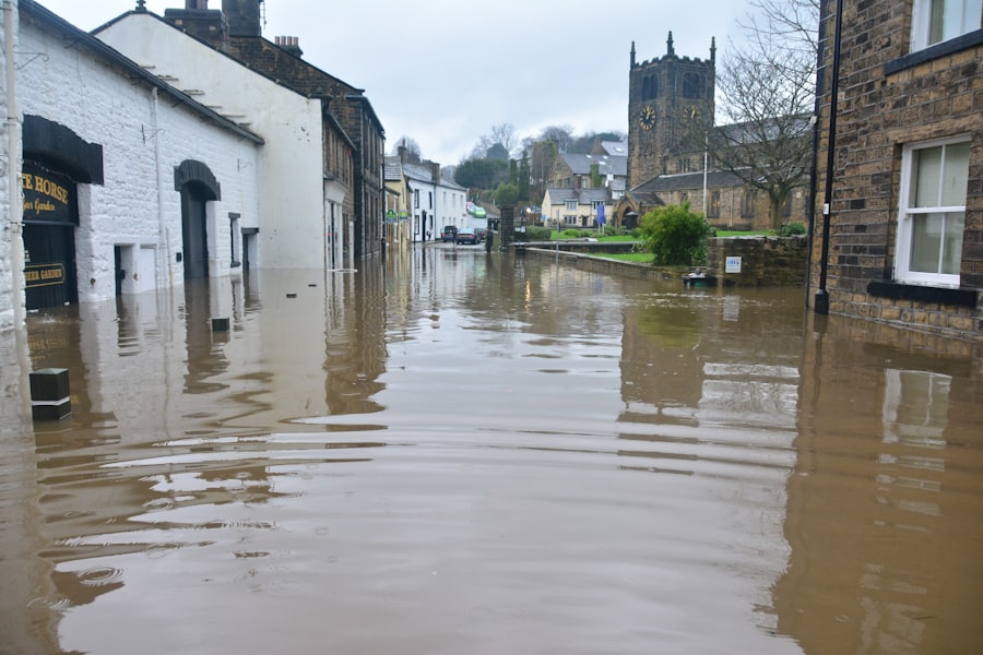
Beyond the written word, the earth itself holds evidence of past cataclysms. Geological and archaeological investigations provide a tangible, physical record of flood events, often corroborating historical accounts.
Alluvial Deposits and Paleohydrology
- Stratigraphic Layers: Geologists analyze soil layers (stratigraphy) to identify distinctive sediments deposited by floodwaters. These alluvial deposits, often characterized by specific grain sizes and compositions, act as silent witnesses to past inundations, revealing the depth, duration, and energy of the flood event. Think of them as the earth’s natural archives.
- Erosion and Channel Modification: Powerful floods can dramatically reshape landscapes, eroding riverbanks, carving new channels, and depositing large quantities of sediment far from the original river course. Evidence of such geomorphological changes, when dated, can be directly linked to specific flood events in the 1800s.
Submerged Structures and Archaeological Findings
- Ruined Settlements and Infrastructure: In some instances, archaeo-geological surveys have uncovered the remains of submerged settlements, bridges, or other infrastructure that were abandoned or destroyed due to catastrophic flooding in the 19th century. These physical remnants offer undeniable evidence of the destructive power of these waters.
- Dendrochronology of Affected Trees: Dendrochronology, the study of tree rings, can provide valuable insights. Trees that survived floods but experienced significant stress or injury during an inundation may exhibit growth abnormalities in their rings, allowing scientists to pinpoint the year of the event and even estimate its severity.
Case Studies: Major Flood Events of the 1800s
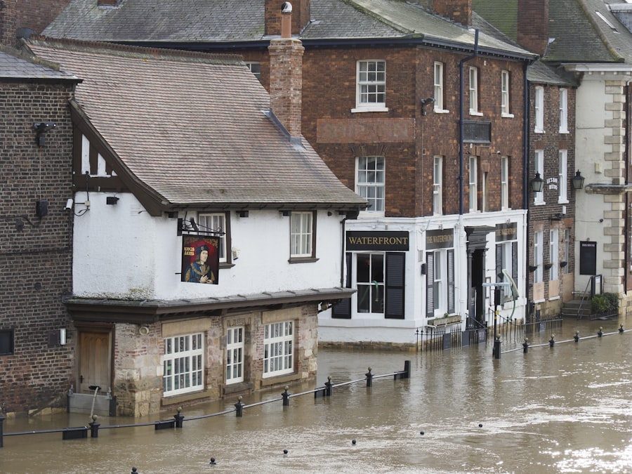
To illustrate the breadth and impact of these “Great Floods,” examining specific regional events provides a concrete understanding of their characteristics.
The Great Mississippi River Flood of 1844
- Scale and Impact: This monumental flood, often considered one of the largest in American history, affected vast swathes of the Mississippi River basin. It inundated millions of acres, destroyed countless homes and farms, and disrupted navigation for months. The floodwaters, a colossal brown serpent, stretched across states.
- Causes and Consequences: Heavy snowmelt from the upper Midwest combined with prolonged spring rains led to the unprecedented rise of the Mississippi. The devastation prompted early discussions and some initial efforts towards flood control, though comprehensive solutions were still decades away.
The Great London Flood of 1881
- Urban Impact: While not on the scale of the Mississippi flood, this event in London demonstrated the vulnerability of dense urban environments. A combination of high tides, heavy rainfall, and a surge from the North Sea overwhelmed existing flood defenses, leading to widespread inundation in low-lying areas. The heart of the empire was briefly submerged.
- Catalyst for Engineering: The 1881 flood, though relatively short-lived, highlighted the urgent need for improved flood defenses in a rapidly expanding metropolis. It contributed to the ongoing development of London’s intricate drainage and embankment systems.
The Great Flood of 1862 (Western USA)
- A “Biblical” Event: This extreme event, striking California and parts of Oregon and Nevada, transformed vast regions into an inland sea. Prolonged and intense rainfall during the winter of 1861-1862, following a period of drought, resulted in unprecedented flooding. The newly established state capital, Sacramento, was submerged for weeks.
- Redefining Land Use: The 1862 flood had a profound and lasting impact on perceptions of flood risk in California. It instigated a reassessment of land use practices and contributed to the development of early flood control strategies, shaping the very layout of settlements.
In exploring the historical context of natural disasters, evidence of a massive flood in the eighteen hundreds has intrigued researchers and historians alike. This event, which significantly impacted various regions, is often discussed in relation to other historical phenomena. For those interested in the broader implications of such events, a fascinating article delves into the mysteries of ancient maps and lost civilizations, shedding light on how these past occurrences may have influenced human history. You can read more about this intriguing topic in the article here.
The Lingering Legacy: Lessons Learned and Forgotten
| Location | Year | Flood Height (meters) | Area Affected (sq km) | Estimated Displacement | Historical Evidence |
|---|---|---|---|---|---|
| Mississippi River, USA | 1882 | 7.5 | 12,000 | 50,000 people | Newspaper reports, eyewitness accounts, sediment layers |
| Yangtze River, China | 1887 | 8.0 | 25,000 | 2 million people | Historical records, flood marks on buildings, sediment deposits |
| Ganges River, India | 1893 | 6.8 | 15,000 | 100,000 people | Ancient texts, floodplain stratigraphy, oral histories |
| Thames River, UK | 1883 | 5.2 | 3,500 | 20,000 people | Flood markers, newspaper archives, church records |
The “Great Floods” of the 1800s left an indelible mark on the landscapes, economies, and collective memories of the affected regions. Their legacy is multifaceted, spanning from advancements in engineering to a heightened, if sometimes impermanent, awareness of natural hazards.
Advancements in Flood Control and Mitigation
- Early Engineering Efforts: The recurring disasters of the 19th century spurred engineers and governments to devise more robust flood control measures. This era saw the beginnings of systematic levee construction, river channelization, and the development of rudimentary early warning systems, a slow evolution from reactive recovery to proactive protection.
- Hydrological Understanding: The sheer scale of these floods forced a deeper scientific inquiry into hydrological processes. Researchers began to systematically collect data on rainfall, river flow, and flood stages, laying the groundwork for modern hydrology and flood forecasting.
Societal Adaptation and Resilience
- Relocation and Urban Planning: In some instances, communities entirely relocated after particularly devastating floods, seeking higher ground and safer environs. This forced migration reshaped regional demographics and contributed to more thoughtful urban planning in flood-prone areas.
- Insurance and Emergency Response: The economic devastation wrought by floods also prompted the nascent development of insurance schemes and formalized emergency response protocols, though these were often local and rudimentary compared to modern systems. The seeds of communal security were being sown.
A Renewed Relevance in a Changing Climate
The evidence of these 19th-century “Great Floods” serves as a potent reminder of humanity’s enduring vulnerability to the forces of nature. In an era of accelerating climate change, where extreme weather events are predicted to become more frequent and intense, the historical record of the 1800s offers invaluable insights. The same interplay of heavy precipitation, vulnerable landscapes, and unprepared infrastructure that characterized these past disasters echoes in the present. By studying these historical events, we gain a deeper understanding of the inherent risks and the imperative for proactive adaptation and resilient infrastructure in the face of a changing global climate. The past, in this instance, serves not just as history, but as a prescient warning.
WATCH NOW ▶️ WARNING: They Erased The World Before Us
FAQs
What evidence supports the occurrence of a massive flood in the eighteen hundreds?
Historical records, geological sediment layers, and fossilized debris have been found that indicate a significant flood event took place during the 1800s. These include flood deposits in river valleys and eyewitness accounts documented in newspapers and diaries from that period.
Where did the massive flood in the eighteen hundreds primarily occur?
The massive flood primarily affected regions near major rivers and low-lying areas prone to flooding. Specific locations vary depending on the documented event, but many floods in the 1800s were recorded along rivers such as the Mississippi in the United States and the Yangtze in China.
What were the main causes of the massive flood in the eighteen hundreds?
The flood was mainly caused by a combination of heavy rainfall, rapid snowmelt, and sometimes ice jams or dam failures. These natural factors led to rivers overflowing their banks and widespread inundation of surrounding areas.
How did the massive flood impact communities during the eighteen hundreds?
The flood caused significant damage to homes, infrastructure, and agriculture, leading to economic hardship and displacement of populations. Many communities faced challenges such as loss of crops, contaminated water supplies, and outbreaks of disease following the flood.
What methods do scientists use to study floods from the eighteen hundreds?
Scientists use a combination of historical document analysis, sediment core sampling, radiocarbon dating, and geomorphological mapping to study past floods. These methods help reconstruct the timing, extent, and impact of flood events from the 1800s.