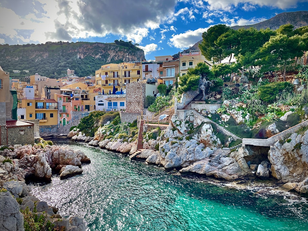
The Mediterranean, a body of water steeped in history, mythology, and the cradle of civilizations, holds within its blue depths secrets far older and more dramatic than even the most seasoned historian might imagine. While often perceived as a serene crossroads of cultures, this sea has, in its ancient past, witnessed cataclysmic events that reshaped coastlines and potentially influenced human migration and societal development. The concept of the “Mediterranean Megaflood” refers to one such monumental event, a catastrophic inundation that, according to geological evidence, fundamentally altered the Mediterranean basin. Uncovering these ancient catastrophes requires a multidisciplinary approach, blending the meticulous work of geologists, archaeologists, oceanographers, and other scientists to piece together a story written in the strata of the seafloor and the sedimentary layers of coastal plains.
The investigation into these immense floods is not merely an academic pursuit; it delves into the very origins of human settlement patterns and the vulnerability of coastal populations to extreme geological events. These ancient deluges, far exceeding any modern experience, serve as stark reminders of Earth’s dynamic nature and the profound impact geological forces can have on the course of human history. The scientific quest to understand the Mediterranean Megaflood is a testament to human curiosity and our enduring desire to unravel the mysteries of our planet’s past.
The primary evidence for the Mediterranean Megaflood lies hidden beneath the waves, etched into the geological record of the Mediterranean seabed. Scientists have employed a variety of advanced techniques to probe these submerged landscapes and uncover the story of this ancient inundation. Understanding the scale and timing of such an event requires meticulous geological analysis, akin to forensic investigation on a colossal scale.
Seismic Reflection and Sonar Mapping: Peering Through the Sediment
One of the most crucial tools in this investigation is seismic reflection profiling. This technique involves emitting sound waves into the seafloor and analyzing the echoes that bounce back from different geological layers. By meticulously mapping these reflections, geologists can create detailed cross-sections of the subsurface, revealing ancient river valleys, coastal cliffs, and sedimentary deposits that were once dry land.
Uncovering Submerged River Systems
Sonar mapping, particularly multibeam sonar, provides high-resolution bathymetric data, creating detailed maps of the seafloor topography. This technology has been instrumental in identifying vast, ancient river systems that once flowed across what is now submerged land. The discovery of these dendritic networks, comparable to those found on modern continents, strongly suggests that these areas were once exposed and subject to fluvial erosion. These submerged riverbeds offer tangible evidence of a lower sea level and the possibility of large-scale water bodies draining into what would eventually become the Mediterranean.
Identifying Depositional Layers
Seismic data also reveals distinct layers of sediment. The presence of thick, unconsolidated sediments, often associated with rapid deposition, can indicate the impact of significant water flow. Scientists look for evidence of catastrophic erosion and subsequent deposition, such as large debris flows or massive turbidites, which are underwater landslides that carry vast amounts of sediment. These geological features are hallmarks of extreme hydrological events.
Core Sampling: Building a Timeline from Sediment Cores
Directly accessing the seafloor sediment through core sampling provides tangible material for laboratory analysis. Scientists extract long cylinders of sediment, which are then meticulously examined layer by layer. Each layer represents a distinct period in time, and the composition of the sediment can reveal crucial information about past environmental conditions.
Analyzing Sediment Composition for Past Environments
The analysis of sediment cores involves studying the types of particles present, their size, and their composition. For instance, the presence of specific minerals or fossilized microorganisms can indicate the salinity of the water, the energy of the environment (calm versus turbulent), and the proximity to landmasses. Changes in sediment composition over time can flag shifts in sea level and major inundation events.
Dating the Event: Radiometric and Biostratigraphic Methods
Dating the sediment layers is paramount to establishing a timeline for the Mediterranean Megaflood. Radiometric dating techniques, such as carbon-14 dating of organic material or uranium-lead dating of certain minerals, can provide absolute age estimates. Biostratigraphy, the study of fossilized organisms, also plays a crucial role by correlating sediment layers with known geological time periods based on the evolutionary history of marine life.
The Mediterranean megaflood, a significant geological event that reshaped the region’s landscape, has drawn attention not only for its immediate impact but also for the broader implications it has on our understanding of ancient civilizations. For a deeper exploration of how lost innovations and ancient technologies could have influenced societies during such catastrophic events, you can read the related article on the effects of these innovations at Apocalyptic Ancient Tech: Catastrophic Effects of Lost Innovations. This article delves into the intersection of technology and disaster, providing valuable insights into how ancient peoples adapted to and recovered from environmental challenges.
The Zanclean Flood: A Paradigm-Shifting Event
The most extensively studied and widely accepted candidate for a Mediterranean Megaflood is the Zanclean Flood, an event that occurred approximately 5.33 million years ago. This cataclysmic inundation is thought to have refilled the Mediterranean Sea after a prolonged period of desiccation. The geological evidence for this event is compelling and has reshaped our understanding of the Mediterranean’s geological history.
The Messinian Salinity Crisis: A Drying Sea
Before the Zanclean Flood, the Mediterranean experienced a period known as the Messinian Salinity Crisis (MSC). During this time, the connection between the Mediterranean Sea and the Atlantic Ocean, through the Strait of Gibraltar, was severely restricted or completely closed off. This limited influx of Atlantic water, coupled with high evaporation rates, led to the Mediterranean gradually drying out.
Evaporite Deposits: Salt and Gypsum Layers
The dessication of the Mediterranean during the MSC resulted in the deposition of vast quantities of salt and gypsum. These evaporite deposits, found in thick layers beneath the seafloor and on land in surrounding regions, are a clear signature of a hypersaline environment. The sheer scale of these deposits testifies to the immense volume of water that evaporated over millions of years.
Submerged Landforms and Erosion
As the sea level dropped, large areas of the Mediterranean basin became exposed land, traversed by rivers that drained into the receding sea. Evidence of this desiccation includes the discovery of submerged river valleys, canyons, and even deltas that are now far below sea level. These features indicate periods of significant subaerial erosion.
The Refilling of the Mediterranean: The Zanclean Flood
The Zanclean Flood is theorized to mark the dramatic end of the Messinian Salinity Crisis. It is believed that seismic activity led to the breaching of a natural dam at the Strait of Gibraltar, allowing Atlantic Ocean water to pour into the desiccated Mediterranean basin in a colossal and rapid inundation.
Theories of the Breach: Tectonic Activity and Landslides
The exact mechanism for the breaching of the Strait of Gibraltar remains a subject of scientific debate. However, the prevailing theories involve significant tectonic activity. Earthquakes or massive landslides triggered by these seismic events could have dramatically altered the topography, creating a pathway for the Atlantic’s waters to surge into the Mediterranean.
The Scale of the Inundation: A Violent Torrent
The scale of the Zanclean Flood is almost unimaginable. Scientists estimate that it would have taken between a few months and a few years for the Mediterranean to refill to its present-day level. This refilling was not a gentle process but a ferocious torrent of water, carving out new canyons and reshaping coastlines with immense erosional power. The energy involved in this event would have been staggering.
Traces on Land: Archaeological and Paleoenvironmental Clues
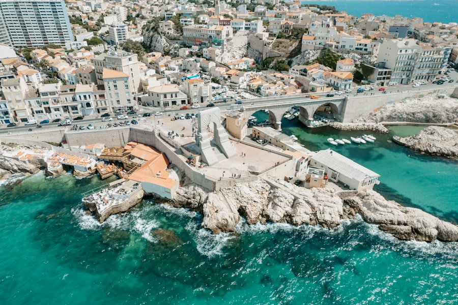
While the most direct evidence for the Mediterranean Megaflood lies beneath the sea, its impact is also discernible in terrestrial geological formations and archaeological sites. These land-based clues offer a complementary perspective, revealing how such a catastrophic event might have affected ancient coastlines and the early human populations that inhabited them.
Ancient Coastlines and Raised Beaches
The geological record on land provides evidence for significant sea-level fluctuations. Raised beaches, landforms that were once at sea level but are now elevated, indicate periods of higher sea levels in the past. Conversely, submerged landforms and shorelines found inland suggest periods of lower sea levels.
Evidence of Rapid Sea-Level Rise
While raised beaches can accumulate over long periods, certain geological markers on land, such as sudden changes in sediment deposition or the presence of tsunami deposits, can point to rapid inundation events. The study of these features helps geologists to correlate terrestrial events with marine phenomena.
Paleo-channels and Erosional Features Inland
The identification of ancient river channels that now terminate inland, or erosional features that appear to have been carved by massive water flows, can provide further evidence of past inundations. These features suggest that coastlines were once located further inland, and that significant volumes of water flowed across these areas.
Archaeological Interpretations: Re-evaluating Ancient Settlements
The discovery of ancient settlements in unexpected locations or evidence of rapid abandonment of coastal sites can sometimes be re-examined in light of potential megaflood events. While direct evidence is rare, the possibility of past inundations might offer alternative explanations for certain archaeological enigmas.
Settlements Submerged by Rising Seas
Some archaeological sites, currently located near the coast or even partially submerged, could be remnants of settlements that were once further inland, only to be overtaken by rising sea levels. The timing of these inundations, if correlated with megaflood events, becomes crucial.
Evidence of Catastrophic Disruption
In areas known to have been affected by significant geological events, archaeologists sometimes find evidence of rapid destruction or displacement of human communities. While often attributed to earthquakes or warfare, extreme flooding could have played a role, either directly or indirectly by altering landscapes and resources.
The Impact on Biota: Shaping Mediterranean Life
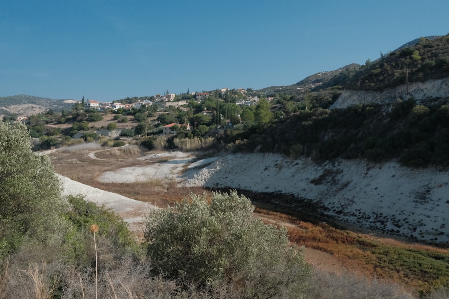
The Mediterranean Megaflood, particularly the Zanclean event, would have had a profound and transformative impact on the region’s flora and fauna. The rapid refilling of the sea created new habitats and presented immense challenges to existing life forms, driving evolutionary changes and migrations.
Colonization of a New Marine Environment
The refilling of the Mediterranean basin provided a vast, new marine environment for colonization. Marine species from the Atlantic Ocean, the source of the invading waters, would have begun to populate the newly formed sea. This influx of new species would have significantly altered the biological makeup of the Mediterranean.
Atlantic Species Migrating Eastward
The Zanclean Flood acted as a conduit, allowing a diverse array of Atlantic marine organisms to migrate eastward into the Mediterranean. This included fish, invertebrates, and plankton, which gradually established themselves in the new ecosystem. The unique marine biodiversity of the Mediterranean today is, in part, a legacy of this ancient event.
Ecological Competition and Adaptation
The arrival of new species inevitably led to ecological competition with any pre-existing marine life that may have survived the MSC (though survival in a highly saline, desiccated basin would have been challenging for most). Organisms would have had to adapt to new food sources, predation pressures, and environmental conditions.
Freshwater and Brackish Water Habitats
The initial stages of the refilling process would have involved a period of mixing between the incoming Atlantic water and any remaining brines or freshwater sources within the basin. This would have created transitional freshwater and brackish water environments, supporting a unique set of organisms adapted to these fluctuating conditions.
Transitional Ecosystems
These transient ecosystems would have presented opportunities for species that could tolerate a range of salinity levels. The study of fossil remains from these transitional periods can reveal the types of organisms that thrived in these dynamic environments.
The Persistence of Endemism
While many species were introduced during the Zanclean Flood, the Mediterranean also possesses a significant degree of endemism – species found nowhere else on Earth. This suggests that some life forms may have survived the isolation of the MSC in specialized refugia, or that post-flood evolutionary pressures led to the development of unique species.
Recent studies on the Mediterranean megaflood have shed light on the dramatic changes in the region’s landscape and ecology. This phenomenon, believed to have occurred around 5.3 million years ago, has sparked interest among researchers exploring its implications for climate change and geological history. For those looking to understand the broader impacts of such natural events, an insightful article discusses the current market trends and valuable assets to consider, which can be found here. Understanding these connections can provide a more comprehensive view of how ancient events shape our present and future.
Lessons from the Past: Implications for the Future
| Event | Date | Estimated discharge | Impact |
|---|---|---|---|
| Mediterranean megaflood | around 5.3 million years ago | 1 million cubic meters per second | Formation of massive underwater canyons and sediment deposits |
The study of ancient catastrophic events like the Mediterranean Megaflood is not just an exercise in historical reconstruction. It offers crucial insights into the Earth’s geological processes and provides invaluable lessons for understanding and mitigating the risks associated with future natural disasters.
Understanding Plate Tectonics and Sea Level Change
The Zanclean Flood is a powerful illustration of how tectonic forces can dramatically alter Earth’s surface and influence sea levels. The Mediterranean region is tectonically active, and understanding the mechanisms that led to the MSC and the subsequent refilling of the sea is vital for comprehending the potential for future geological events.
Predicting Future Geological Instability
By studying the geological record of past events, scientists can refine models to predict the likelihood and potential magnitude of future geological instabilities, such as earthquakes and volcanic eruptions, that could trigger similar dramatic hydrological changes.
The Interconnectedness of Geological Systems
The Mediterranean Megaflood highlights the interconnectedness of Earth’s geological systems. Small changes in tectonic behavior or oceanic circulation can have cascading effects on a regional and global scale.
Mitigating Risks in a Changing Climate
As the planet warms and sea levels rise due to climate change, understanding past catastrophic sea-level changes becomes increasingly relevant. The Mediterranean, with its densely populated coastal areas, is particularly vulnerable.
Coastal Vulnerability and Preparedness
Studying ancient inundations can inform strategies for coastal defense and preparedness. By understanding the historical scale of flooding, we can better plan for the potential impacts of future sea-level rise and extreme weather events. The lessons learned from the Zanclean Flood, although ancient, offer a sobering perspective on the scale of change that Earth can undergo.
The Importance of Paleoclimate and Paleoenvironmental Studies
Paleoclimate and paleoenvironmental studies are crucial for understanding natural climate variability and the potential impacts of anthropogenic climate change. The Mediterranean Megaflood serves as a stark reminder that Earth’s climate and geology are not static, and that understanding past deviations from equilibrium is key to navigating future challenges. The secrets held within the Mediterranean’s depths are not just from a forgotten age, but provide a vital blueprint for understanding our planet’s capabilities and our own vulnerability.

When the Mediterranean Became a Desert | The Messinian Salinity Crisis Explained
FAQs
What is the Mediterranean megaflood?
The Mediterranean megaflood refers to a catastrophic event that occurred around 5.3 million years ago, when the Strait of Gibraltar opened and the Atlantic Ocean poured into the Mediterranean Basin, creating a massive flood.
What caused the Mediterranean megaflood?
The Mediterranean megaflood was caused by tectonic movements that led to the opening of the Strait of Gibraltar, allowing the Atlantic Ocean to flood into the Mediterranean Basin.
What were the effects of the Mediterranean megaflood?
The Mediterranean megaflood had significant effects on the geography and climate of the region. It led to the formation of massive sediment deposits and the reshaping of the Mediterranean coastline. The flood also had a major impact on the marine and terrestrial ecosystems of the time.
How is the Mediterranean megaflood studied by scientists?
Scientists study the Mediterranean megaflood through various methods, including geological and sedimentological analysis, as well as the examination of fossil records and ancient shorelines. They also use computer modeling to simulate the flood and its effects.
What is the significance of the Mediterranean megaflood?
The Mediterranean megaflood is significant because it provides valuable insights into ancient climate change, tectonic activity, and the impact of catastrophic events on Earth’s ecosystems. Studying the megaflood can also help scientists better understand and predict similar events in the future.