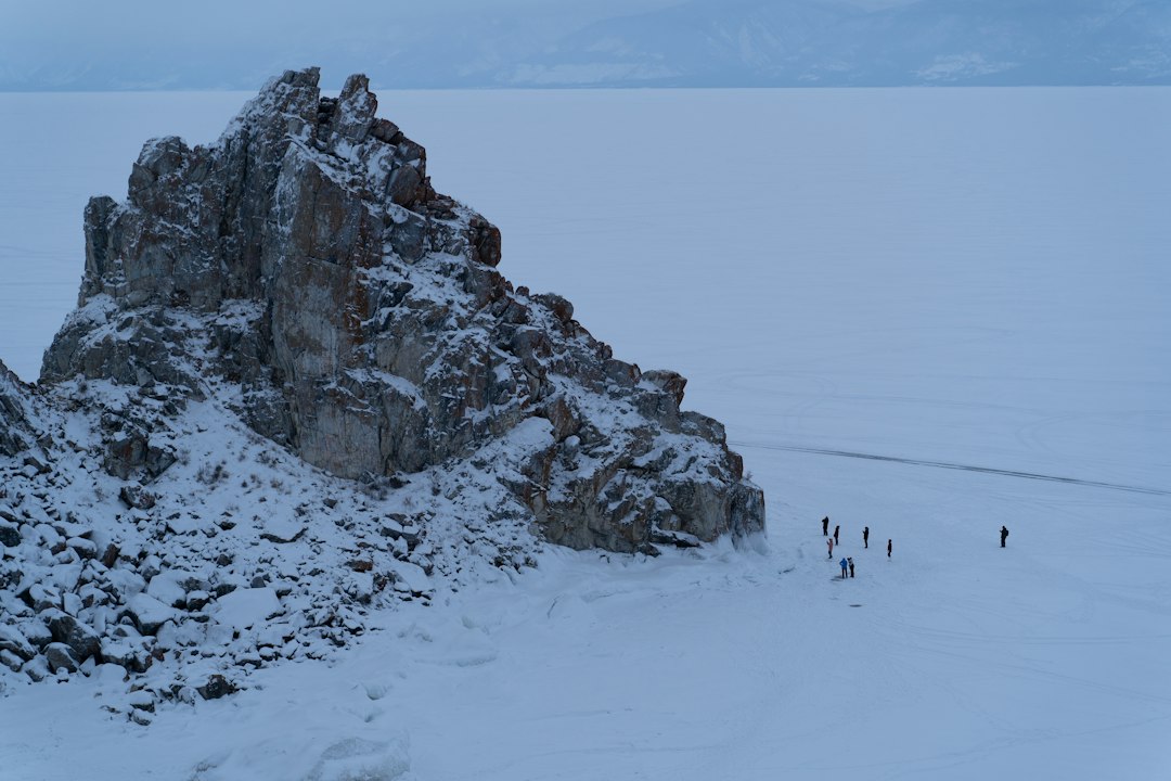
The biting wind howled across a landscape sculpted by colossal forces, a world vastly different from the one modern humans inhabit. Twenty thousand years ago, during the Last Glacial Maximum, vast ice sheets and glaciers dominated much of the Northern Hemisphere. While the image conjures an impassable, frozen wilderness, evidence is mounting that these frozen expanses were not absolute barriers. Instead, they may have served as conduits, carving out and defining pathways that facilitated the movement of humans and animals across continents. Tracking these ancient routes, particularly those defined by snow and ice, offers a profound glimpse into the ingenuity and resilience of our prehistoric ancestors.
The Frozen Frontier: Understanding the Last Glacial Maximum
The period approximately 20,000 years ago, known as the Last Glacial Maximum (LGM), represents the peak of the most recent ice age. Global temperatures were significantly lower than today, leading to the expansion of ice sheets across North America, Europe, and Asia. These ice sheets were not uniform, but rather complex, dynamic systems that constantly advanced, retreated, and interacted with the environment. Understanding the nature of these frozen landscapes is crucial to deciphering the routes they may have offered.
Vast Ice Sheets: Barriers and Highways
The most prominent features of the LGM were the continental ice sheets. The Laurentide Ice Sheet covered much of present-day Canada and the northern United States, while the Fennoscandian Ice Sheet dominated Northern Europe. These colossal bodies of ice, sometimes kilometers thick, exerted immense pressure on the land beneath them. While seemingly impenetrable, their edges were not sheer cliffs of ice. Instead, they often graded into vast outwash plains of sand and gravel deposited by meltwater, and were fringed by periglacial environments characterized by permafrost, tundra, and sparse vegetation. These areas, while challenging, were not entirely devoid of life and could potentially support passage. Furthermore, the sheer scale of the ice sheets meant that they shaped topography on an unprecedented scale, creating valleys, fjords, and elevated ridges that could have served as directional markers for ancient travelers. The constant flux of glacial meltwater also carved out ephemeral river channels and lakes, creating temporary but navigable corridors.
Periglacial Zones: The Fringe of the Ice
Beyond the immediate reach of the ice sheets lay the periglacial zones. These were regions characterized by permafrost – ground that remains frozen for two or more consecutive years. While the surface layer would thaw during the short summers, the underlying permafrost would remain intact, influencing drainage patterns and vegetation. These zones often consisted of vast, windswept plains covered in tundra vegetation – low-lying shrubs, grasses, and mosses. While this might appear desolate, these environments were home to migratory megafauna, such as mammoths, woolly rhinoceroses, and caribou, which formed the basis of the prehistoric human diet. The presence of these animals, in turn, would have drawn human hunters and gatherers, establishing migratory routes that often followed the seasonal movements of their prey through these periglacial landscapes. The relatively stable, albeit frozen, ground of the periglacial zones could also have provided more consistent travel surfaces compared to the potentially boggy or unstable terrain south of the frost line.
Ice-Free Corridors: Gaps in the Frozen Wall
Crucially, the ice sheets were not always contiguous. There were areas that remained ice-free, or where the ice retreated significantly, creating so-called “ice-free corridors.” These corridors, often formed by river valleys or topographical depressions, offered potential pathways between ice-covered regions. The most famous example is the hypothetical Cordilleran Ice-Free Corridor in North America, a proposed route along the eastern flank of the Rocky Mountains that may have allowed for the migration of humans and animals from Beringia into the interior of North America after the LGM. The existence and duration of such corridors are subjects of ongoing scientific debate and research, relying on geological evidence of deglaciation, paleoclimatic data, and archaeological findings. The formation and persistence of these corridors would have been dictated by complex interactions between ice sheet dynamics, regional topography, and climatic conditions.
Research into ancient human migration patterns has revealed fascinating insights into how our ancestors navigated challenging terrains, such as snow and ice, over 20,000 years ago. A related article discusses various unexplained ancient artifacts and the mysteries surrounding them, shedding light on the ingenuity of early humans in adapting to their environments. For more information on these intriguing discoveries, you can read the full article here: Unexplained Ancient Artifacts: Mysteries of the Past.
Navigating the Glacial Landscape: Human and Animal Mobility
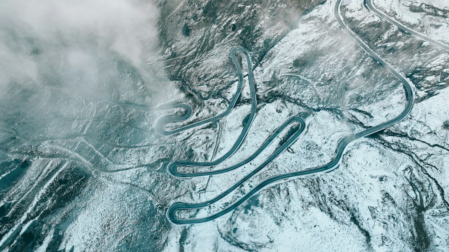
The presence of ice and snow did not necessarily halt movement. Instead, it necessitated adaptation and specialization. Prehistoric humans and the animals they hunted had to develop strategies to exploit these frozen environments. Understanding their mobility patterns is key to reconstructing ancient routes.
The Mammoth Steppe Ecosystem
The dominant ecosystem during the LGM was the “mammoth steppe.” This vast, treeless biome stretched across Eurasia and North America, characterized by cold, dry conditions and nutrient-rich soils. It was a surprisingly productive environment, supporting large populations of herbivores like mammoths, bison, horses, and reindeer. These animals, in turn, were the primary food source for Paleolithic humans. Their migratory patterns, dictated by the availability of grazing and the need to avoid harsh weather, would have created predictable routes. Human groups, following these herds, would have traversed these vast, open landscapes, often utilizing the frozen ground and snow cover as their primary travel surfaces. The sheer abundance of prey in these ecosystems suggests that, despite the cold, these areas were not refuges but rather vital hunting grounds, requiring extensive movement to exploit.
Footprints in the Snow: Archaeological Evidence
Archaeological evidence provides the most direct, albeit often fragmentary, insights into human movement. The discovery of stone tool scatters, hearth sites, and faunal remains in locations far from their presumed origins can indicate long-distance travel. In glacial environments, preservation is often excellent, particularly in dry or frozen conditions. Permafrost can preserve organic materials like bone, wood, and even soft tissues, offering incredibly detailed snapshots of past life. Ice itself can also act as a preservative. While direct evidence of footprints in ancient snow is rare and ephemeral, fossilized footprints in frozen mud or sediment from periglacial environments can reveal details about the direction and gait of ancient travelers. Sites like Paisley Caves in Oregon, with human DNA dated to over 15,000 years ago, offer tantalizing clues about early peopling of the Americas, potentially via coastal routes or through ice-free corridors.
Following the Herds: Seasonality and Migration
The seasonal movements of large herbivore herds were a primary driver of human migration during the LGM. These animals followed predictable patterns of grazing, seeking out the most verdant pastures and escaping the harshest conditions. Humans, as skilled hunters, would have adapted their own movements to coincide with these migrations. This would have involved traversing vast distances, often relying on the frozen ground of winter and early spring for easier travel. The presence of snow could have provided a relatively consistent and firm surface for walking and for the movement of sledges or travois, facilitating the transport of resources. Conversely, the thaw of spring and summer might have created more challenging terrain, potentially pushing groups to follow different routes or to remain in more favorable locations. Understanding these animal migrations is therefore intrinsically linked to understanding human travel routes.
Ice as a Pathway: The Dynamics of Frozen Surfaces
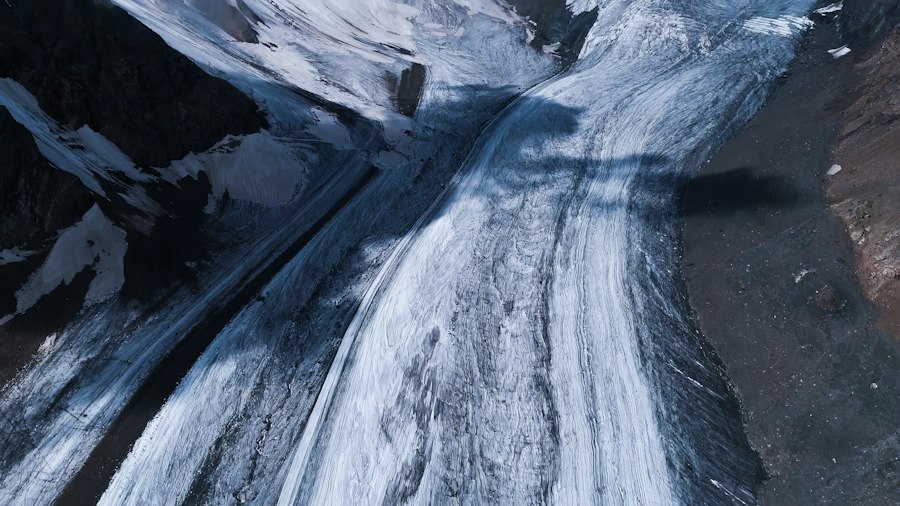
While ice sheets were formidable, their peripheries and specific formations could have presented unique advantages for travel, particularly when coupled with snow. The properties of ice and snow, when frozen, offer stability and predictable surfaces.
Frozen Rivers and Lakes: Natural Arteries
Frozen rivers and lakes, common features in LGM landscapes, would have served as natural highways. These bodies of water, when sufficiently frozen, could provide smoother and more direct routes than traversing uneven land. Imagine ancient peoples using the frozen surface of a wide river to move camp or to transport game back to their settlements. The freeze-thaw cycles would have been a critical factor, with stable ice offering a reliable pathway for extended periods during winter. Such frozen waterways could connect distant regions, facilitating long-distance travel and trade, or providing access to resource-rich areas that might be inaccessible during warmer months. The edges of these frozen water bodies, often lined with vegetation, would also have provided sheltered camping spots and access to water.
Glacial Margins and Meltwater Channels
The margins of glaciers were dynamic environments. While the ice itself was dangerous, the areas where meltwater emerged created intricate networks of channels, outwash plains, and temporary lakes. These meltwater systems could carve out valleys and influence the landscape in ways that created natural corridors. Following these channels, which often led downhill and towards more hospitable regions, would have been a logical strategy. The deposition of sediments by meltwater could also create relatively flat and open areas suitable for travel, even if periodically flooded or covered in snow. The constant presence of water, albeit frozen or in the form of slush, near the ice margins also meant access to a vital resource, albeit one requiring careful management.
Snow as a Predictable Surface
Snow cover, especially deep and compacted snow, could provide a relatively consistent and navigable surface across diverse terrain. While shallow or powdery snow can be difficult to traverse, thicker, wind-blown drifts or areas where snow compacted over time could offer stable platforms. For early humans, the ability to travel on snow would have been a significant advantage, allowing them to cover greater distances with less effort, especially when aided by rudimentary snowshoes or skis. The predictability of snow cover across vast areas would have also aided in navigation, providing a consistent ground cover that could be more easily read than a landscape of varied vegetation and exposed rock. Furthermore, the ability to travel on snow might have allowed access to areas that were seasonally impassable due to thick vegetation or boggy conditions.
Reconstructing Ancient Journeys: Methodologies and Discoveries
The task of tracing these ancient routes is a complex scientific endeavor, drawing upon a multidisciplinary approach to piece together fragments of evidence from the distant past.
Paleoclimate and Paleogeography: Mapping the Past World
Understanding the climate and geography of the LGM is foundational to any attempt to reconstruct ancient routes. Paleoclimatologists use proxies such as ice cores, sediment cores, and pollen analysis to reconstruct past temperatures, precipitation patterns, and vegetation distributions. Paleogeographers, in turn, use this data, along with geological evidence of ice sheet extent and sea level changes, to create detailed maps of the ancient world. These maps highlight areas that were glaciated, regions of permafrost, the extent of the mammoth steppe, and the potential locations of ice-free corridors. By overlaying known archaeological sites with these paleogeographic reconstructions, researchers can identify plausible travel corridors and areas of human activity. The accuracy of these reconstructions is constantly being refined with new data and improved modeling techniques.
Geoarchaeology and Landscape Archaeology: Reading the Earth
Geoarchaeology and landscape archaeology are disciplines that focus on the interaction between humans and their environments throughout prehistory. Geoarchaeologists examine the geological context of archaeological sites, analyzing soil formation, sediment deposition, and the movement of materials to understand how landscapes were used and modified by past populations. Landscape archaeologists, on the other hand, study the broader spatial relationships between archaeological sites and the wider environment, looking for patterns of settlement, movement, and resource exploitation across the landscape. In the context of glacial routes, these disciplines help identify the types of terrain that were traversable, the likely locations of seasonal camps, and the pathways that connected them. For instance, the analysis of lithic (stone tool) scatters can reveal trade networks and migration routes, by identifying the sources of raw materials and their distribution across the landscape.
Genetic Traces: Following the Human Footprint
The study of ancient DNA offers a powerful new tool for tracking human movements. By analyzing the genetic material of prehistoric human remains, scientists can trace population migrations, identify genetic relationships between ancient groups, and estimate divergence times. This genetic information can be used to test hypotheses about routes of dispersal, such as the peopling of the Americas, and to understand the genetic impact of movements across glacial landscapes. For example, genetic studies have provided evidence for the southward migration of populations out of glacial refugia after the LGM and have helped to identify the likely origins of populations that spread across continents. The integration of genetic data with archaeological and paleoclimatic evidence provides a more comprehensive picture of human dispersal.
Recent studies have shed light on how ancient humans navigated treacherous terrains, including snow and ice, over 20,000 years ago. These findings not only enhance our understanding of early human migration patterns but also draw intriguing parallels to modern exploration challenges. For a deeper dive into the complexities of navigating uncharted territories, you might find this article on the geopolitical struggle for lunar resources particularly interesting. It explores how contemporary explorers face similar obstacles as they seek to chart new routes in space, much like our ancestors did on Earth. You can read more about it here.
The Legacy of Glacial Pathways: Shaping Modern Landscapes and Minds
| Metric | Value | Unit | Description |
|---|---|---|---|
| Estimated Age of Tracks | 20,000 | Years | Approximate age of snow and ice tracks discovered |
| Track Length | 15 | meters | Average length of preserved track routes |
| Track Width | 30 | centimeters | Average width of individual tracks |
| Number of Distinct Routes | 5 | routes | Number of separate tracking routes identified |
| Preservation Medium | Ice and Frozen Sediment | N/A | Material in which tracks were preserved |
| Estimated Temperature | -15 | °C | Approximate temperature during track formation |
| Species Tracked | Mammoth, Reindeer | N/A | Likely animals whose tracks were preserved |
| Tracking Method | Footprint Analysis and Sediment Study | N/A | Techniques used to analyze the routes |
The routes forged by our ancestors across snow and ice 20,000 years ago are not merely a matter of historical curiosity. They have left indelible marks on the landscapes we inhabit today and continue to shape our understanding of human adaptability.
Topographical Imprints: Sculpting the Land
The movement of glaciers and the associated meltwater processes during the LGM profoundly sculpted the Earth’s surface. The large-scale deposition of sediments from glacial outwash plains, the carving of river valleys, and the formation of moraines all attest to the power of these ice-bound environments. These features, many of which remain visible today, would have influenced the routes available to both humans and animals. Ancient pathways likely followed the natural contours created by these glacial processes. Even as the ice receded, the resulting topography – the rolling hills of moraines, the broad, flat plains of outwash, and the deep, glacially carved valleys – continued to dictate patterns of human settlement and movement for millennia. Understanding the post-glacial landscape is, therefore, intrinsically linked to understanding the glacial past.
Enduring Human Adaptability: A Story of Resilience
The ability of Paleolithic humans to not only survive but also to thrive in the challenging conditions of the LGM is a testament to their remarkable adaptability. The development of specialized clothing, effective hunting techniques, and sophisticated social structures allowed them to exploit environments that might seem inhospitable to us. The exploration of snow and ice pathways underscores this resilience. It demonstrates that humans, when faced with environmental constraints, possess an extraordinary capacity to innovate and to find solutions that enable them to expand their reach and secure their survival. This legacy of adaptability continues to inform our understanding of human potential and our relationship with the natural world, reminding us that even in the face of extreme conditions, human ingenuity can prevail.
The Future of Paleolithic Route Research
The study of ancient routes, particularly those influenced by snow and ice, is a dynamic and evolving field. Continued advances in dating techniques, such as radiocarbon dating and optically stimulated luminescence (OSL), allow for more precise chronological frameworks. Improved methods for analyzing ancient DNA provide increasingly detailed insights into population movements and relationships. Furthermore, the application of sophisticated modeling techniques, integrating paleoclimatic, paleogeographic, and archaeological data, allows for the simulation of past environments and the identification of potential migration corridors with greater accuracy. As new sites are discovered and existing evidence is re-examined with these advanced tools, our understanding of how our ancestors navigated the frozen frontiers of the past will undoubtedly continue to expand, revealing ever more about their journeys and their extraordinary capacity to adapt to a world shaped by ice.
➡️Life 20,000 Years Ago | When Strangers Claim Your Winter Shelter 🚨
FAQs
What methods did ancient humans use to track routes through snow and ice?
Ancient humans likely used a combination of visual cues, such as landmarks and animal tracks, along with their knowledge of the terrain and weather patterns to navigate through snow and ice. They may have also relied on oral traditions to pass down information about safe routes.
How did climate conditions 20,000 years ago affect travel routes?
During the last Ice Age, the climate was significantly colder, leading to extensive glaciation and the presence of large ice sheets. These conditions would have limited travel routes, forcing humans to adapt by finding paths through less icy areas or using ice-covered surfaces for easier movement.
What types of animals were commonly tracked by humans in snowy environments?
Humans 20,000 years ago often tracked large mammals such as mammoths, reindeer, and bison, which were crucial for food and resources. The tracks left by these animals in the snow would have provided valuable information about their movements and migration patterns.
What archaeological evidence supports the understanding of ancient travel routes?
Archaeological evidence such as stone tools, hunting camps, and fossilized animal remains found along ancient pathways helps researchers understand the routes taken by humans. Additionally, preserved footprints in ice or sediment can provide direct evidence of movement patterns in snowy environments.
How did the tracking of routes through snow and ice influence human migration?
The ability to track routes through snow and ice was crucial for human migration, as it allowed groups to follow animal herds and find new habitats. This knowledge facilitated the spread of human populations into new territories, contributing to the development of diverse cultures and societies.